
Quick report
We toured on E-SE-S aspect terrain on Silver Peak today. Above freezing air temps occurred in this area last night with minimum temps of 36 to 37 degrees reported by the closest weather stations at 8,000'. Despite the above freezing minimum air temps, radiational cooling allowed for the top 4 inches of the snowpack to refreeze at pencil hard across open solar aspect slopes. In the few areas we poked onto N aspects at around 7,900', we saw a 1 cm thick melt-freeze crust on top of some very minimally faceted snow that easily clumped when lightly squeezed in the hand.
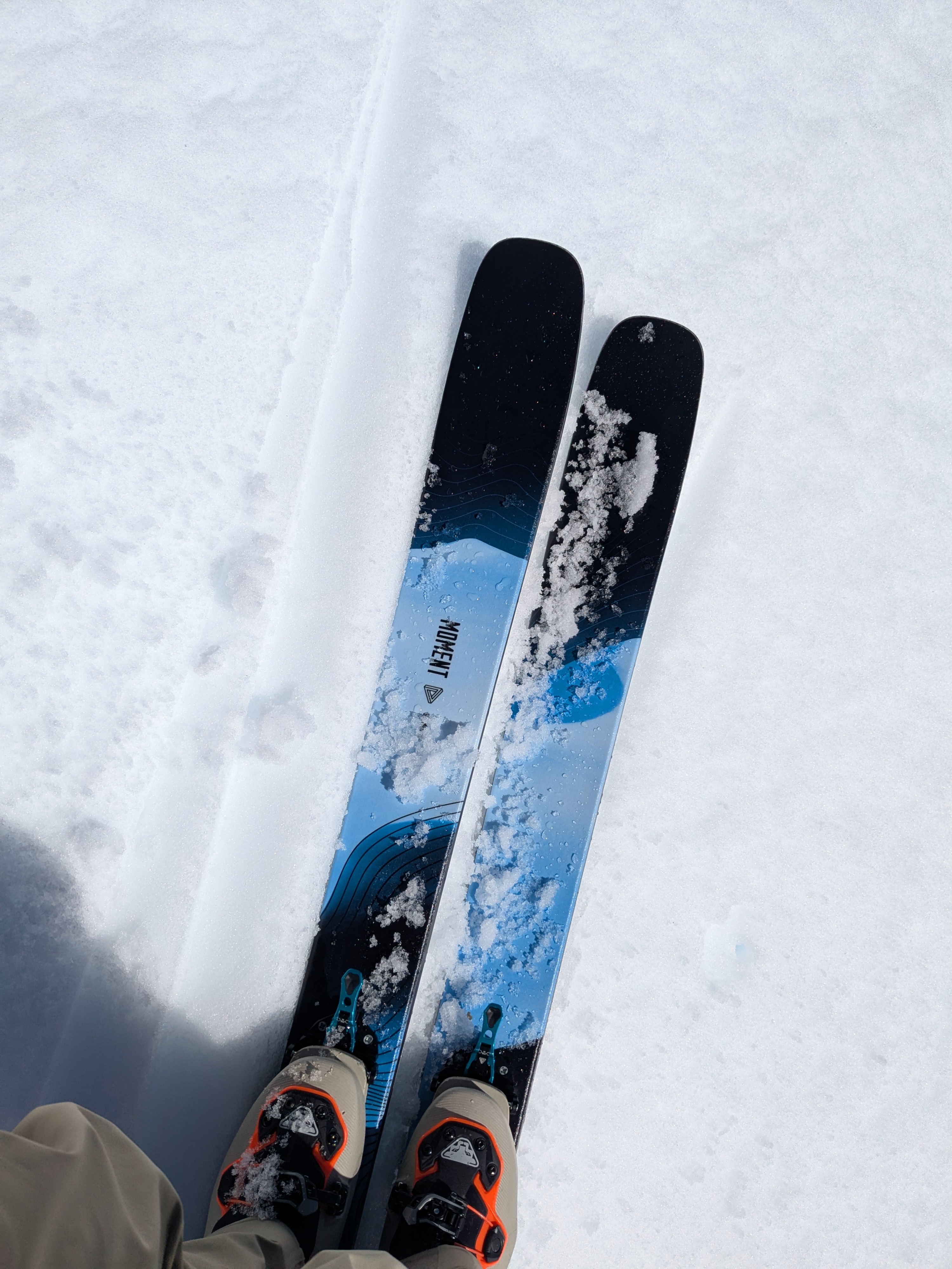
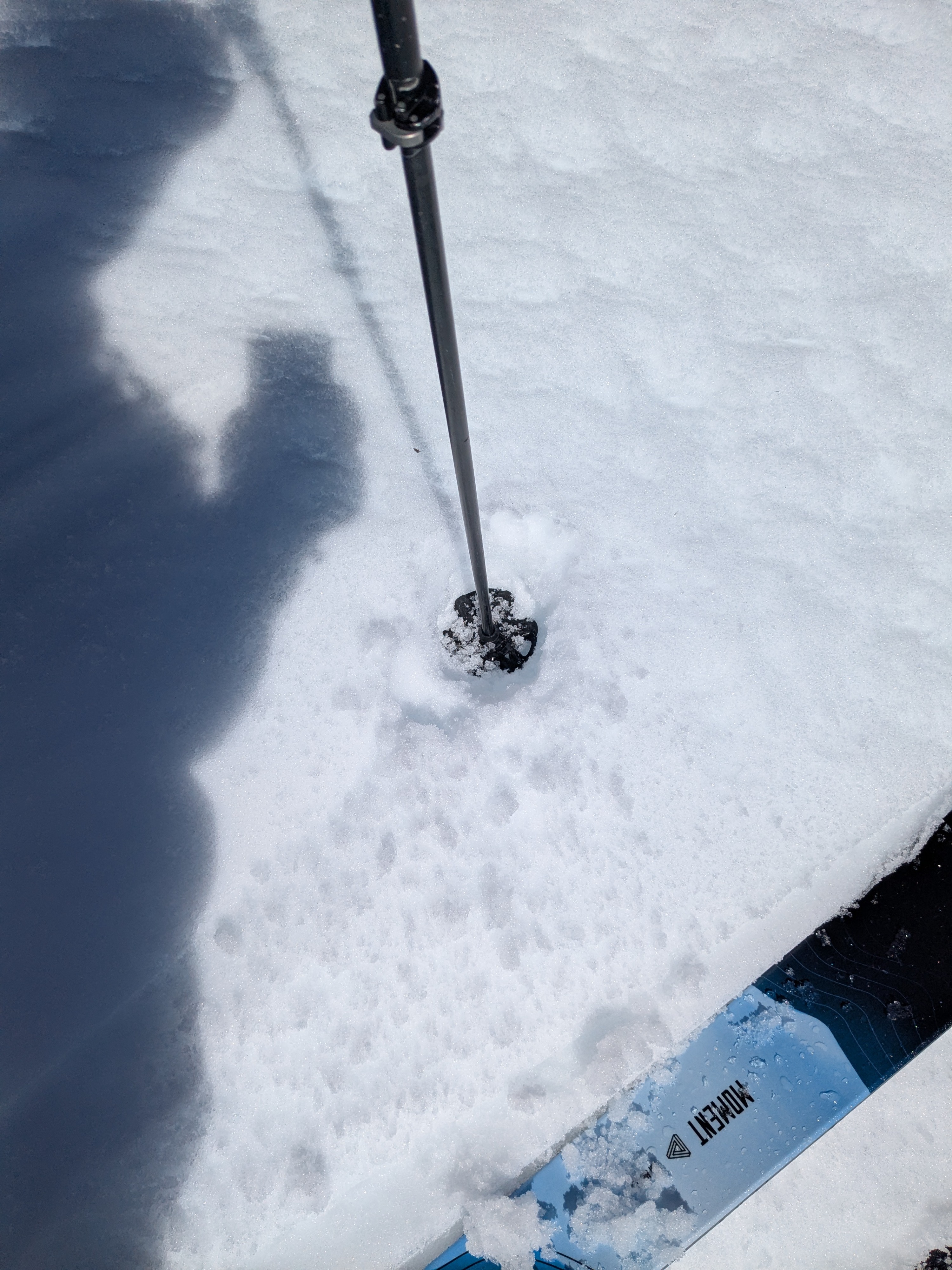
By 11 am, SE aspect terrain in the 7,400' to 8,400' elevation range had melt phase wet snow making up the top 2 inches of the snow surface with 2 inches of supportable melt-freeze crust below (in melt phase at 1 F hard). By noon the surface wet snow had deepened slightly to 2 to 3 inches and the crust below in melt phase remained supportable (4F to 1 F hard).
We ski cut a few test slopes on E and SE aspect terrain around noon and did not trigger any wet loose instabilities.
Low elevation areas on the approach between 6,000' and 6,700' have experienced a notable loss in snow cover over the past week.
Weather
- Air Temp
- 40s
- Cloud Cover
- few
- Wind Loading
- none
- Snow Avail For Transport
- none
Air temps in the 40s with moderate speed SE winds.