
Weather
- Cloud Cover
- broken
- Wind Loading
- none
- Rain Elevation
- 9000
- Recent Snowfall
- 0
- Snow Avail For Transport
- none
Decreasing clouds and winds this morning. Mild temperatures with some periods of sun.
Snowpack
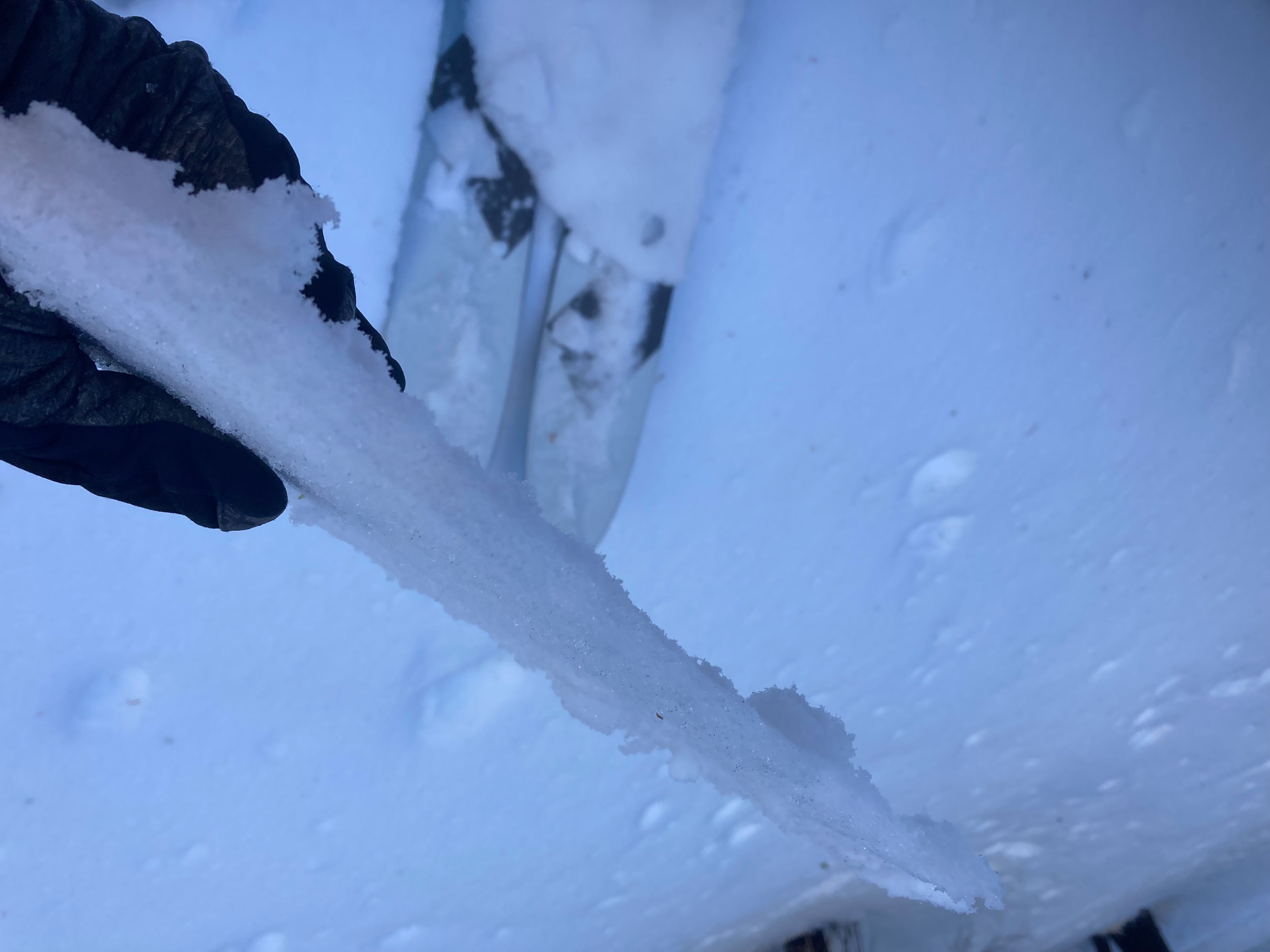
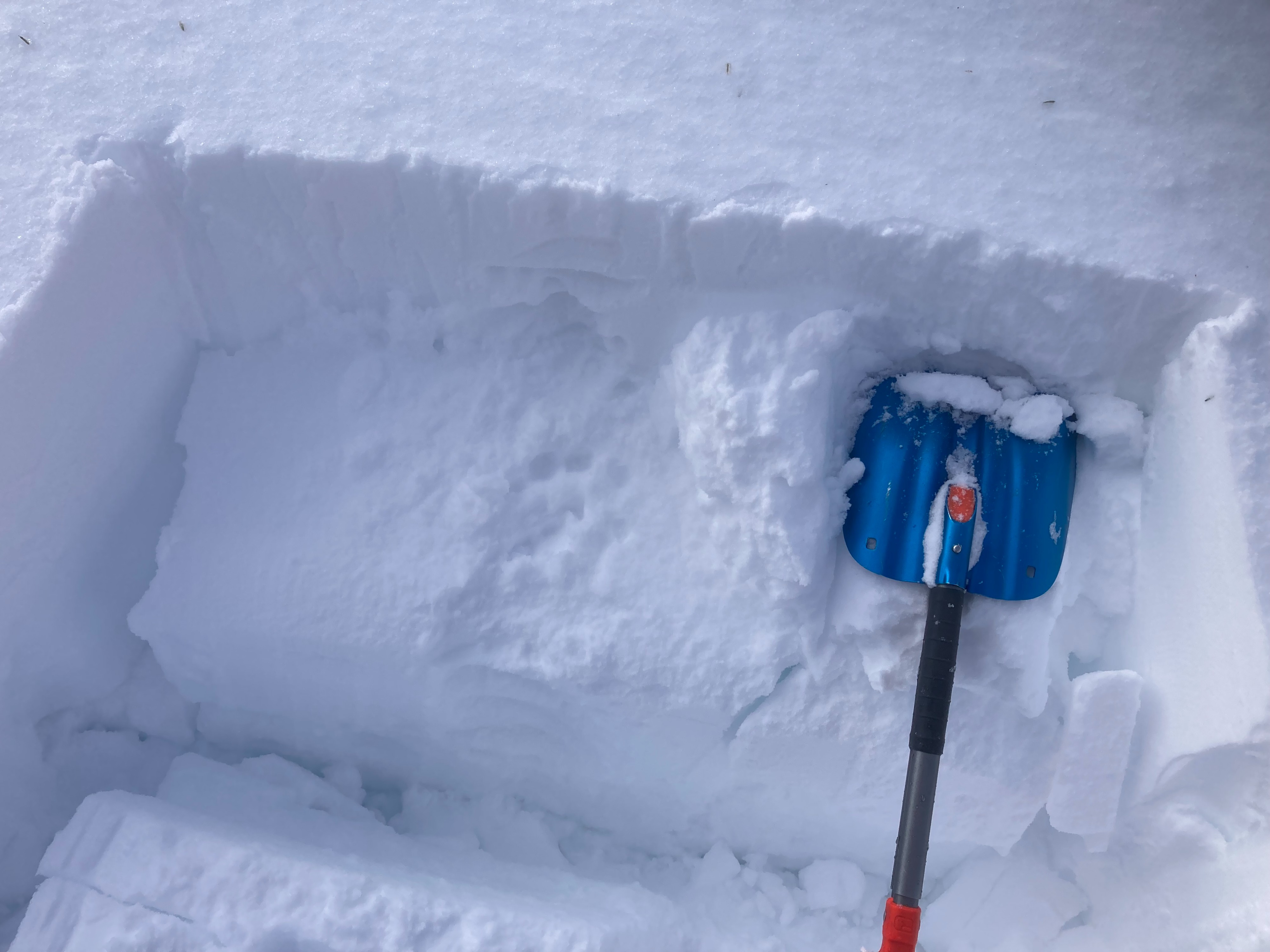
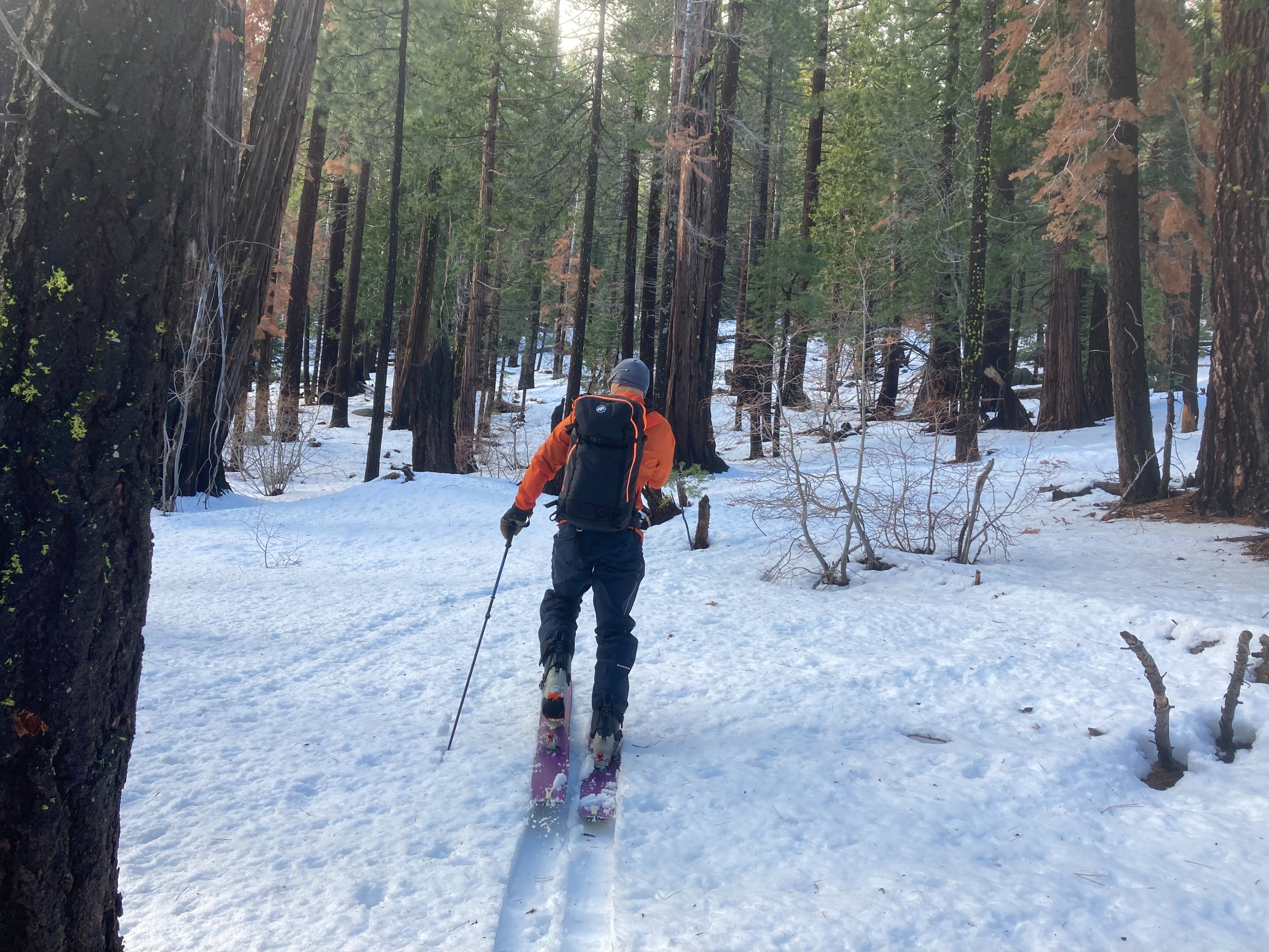
We went to Hidden Peak on the West Shore to look at the recent snow and rain event from yesterday into early this morning. Snow coverage is very marginal from the trailhead up to around 7200', where a more usable and supportable snowpack begins. Wet rain soaked surface snow existed up to around 7600-7800' and transitioned to a rain crust all the way up to the top of Hidden Peak at around 9200'. This surface rain crust varied in strength and supportability based on tree cover and elevation. Travel conditions were challenging at best. Storm snow from yesterday ranged somewhere from 4 to 8'' of heavy dense snow before it turned to rain. There are multiple density changes in the upper snowpack from the changing snow levels over the last couple days. The surface rain crust should gain strength and become firmer overnight with cooler temperatures.
Avalanche
- Size
- D2
- Aspect
- NE
- Trigger
- N
- Elevation
- 8700 ft
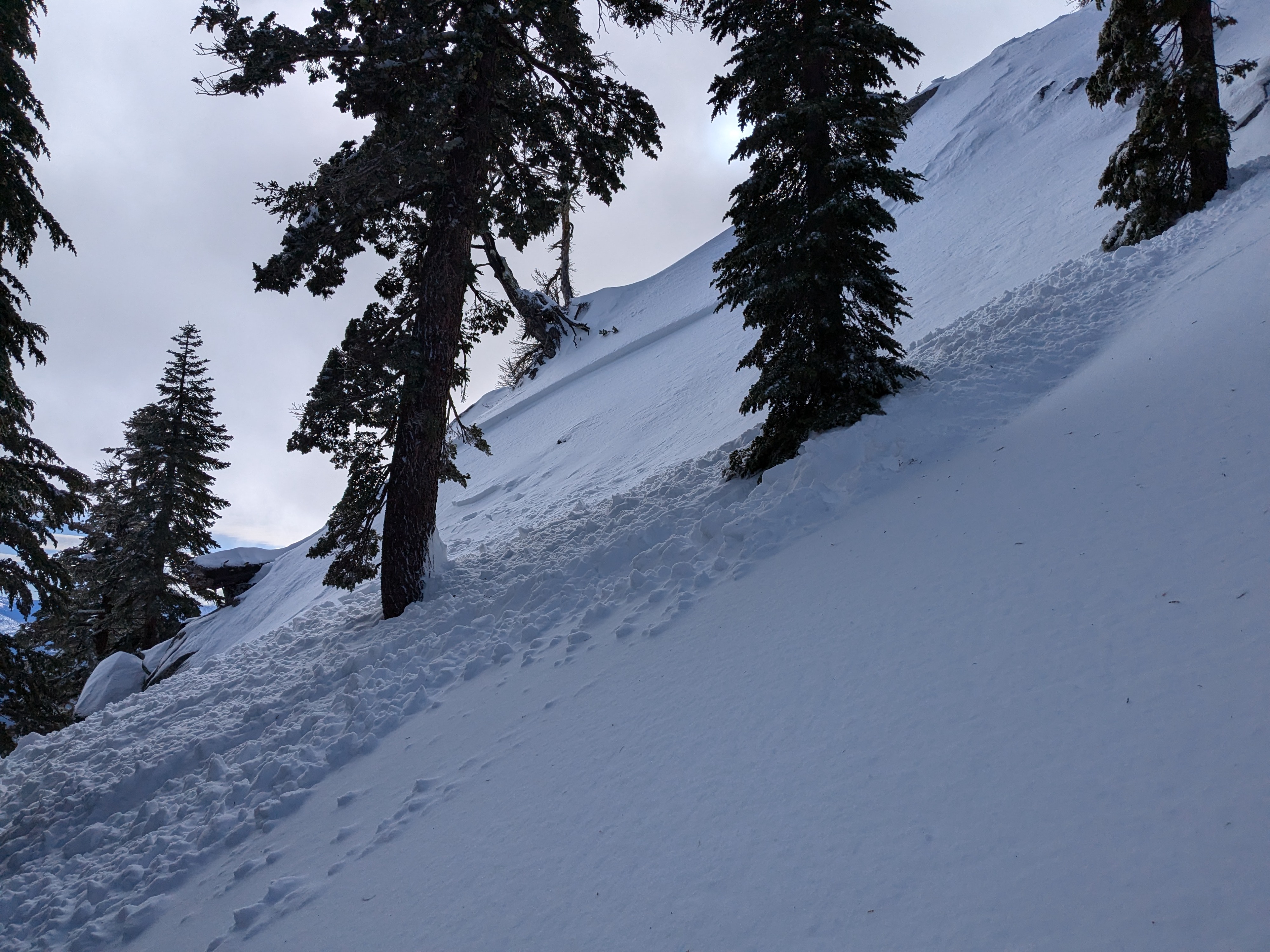
A natural wind slab avalanche occurred on Hidden Peak on a NE aspect at around 8700'. This avalanche ran over 500' downslope where it further propagated out into a storm slab avalanche. This avalanche is thought to have occurred early in the morning hours as rain levels rose up to 9200'+. Some other wet loose instabilities were noted in the area, but we did not see any other slab avalanches in similar terrain to this natural avalanche.