
Quick report
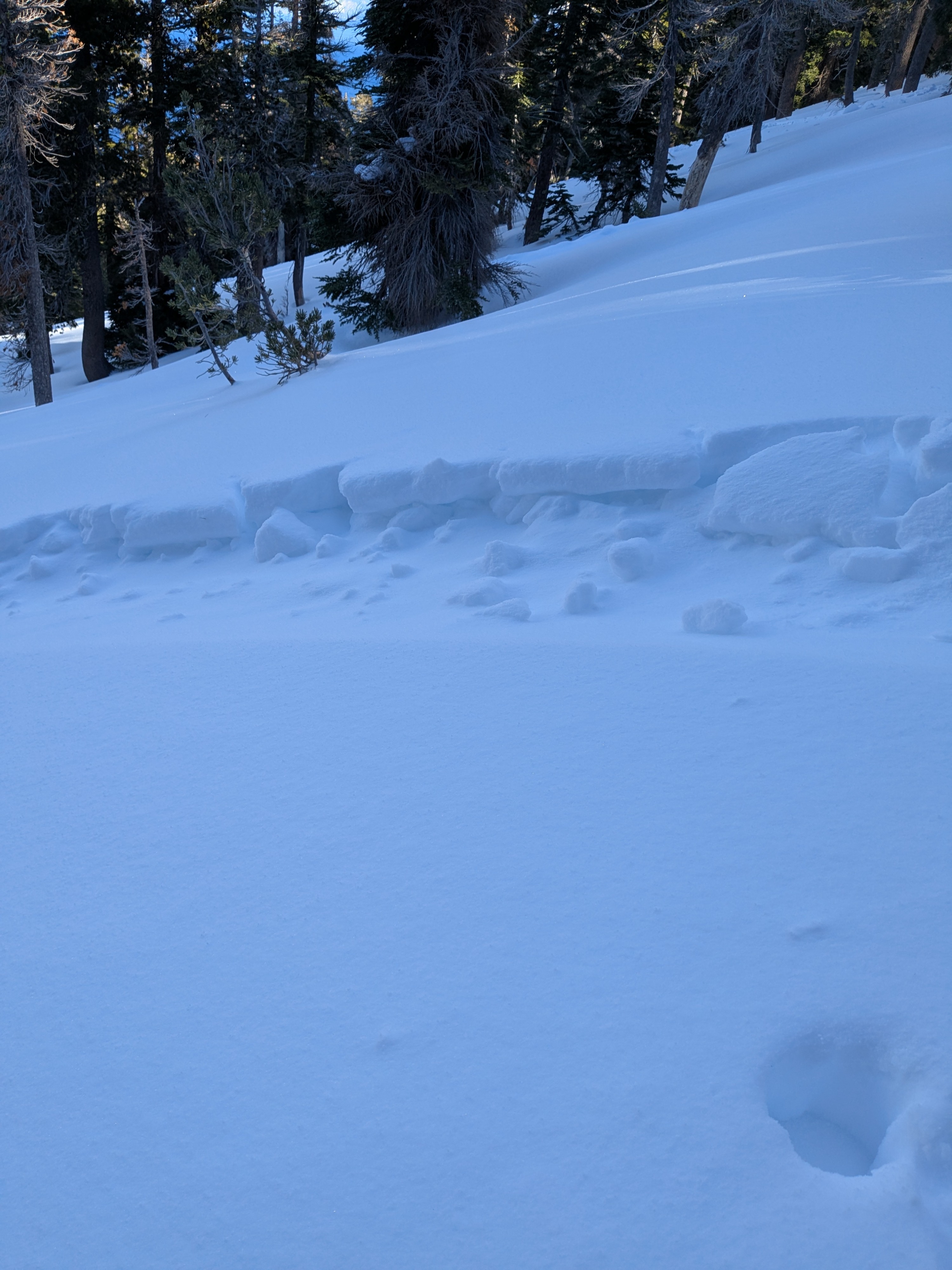
We went to Rubicon Peak this morning to track the newly formed surface rain/mist crust and to see views of blowing snow. Approaching via Lonely Gulch, at 6,800' the surface crust that formed out of precipitation on the morning of Jan 6 was about 0.5 cm thick and breakable. By 7,100' the crust was very thin and hardly noticeable. We tracked this very thin crust up to 8,100' where it disappeared. The recent new snow from Jan 3 was slightly upside-down in this area at 4F hard over F hard. On the snow surface was a few mm of graupel from last night.
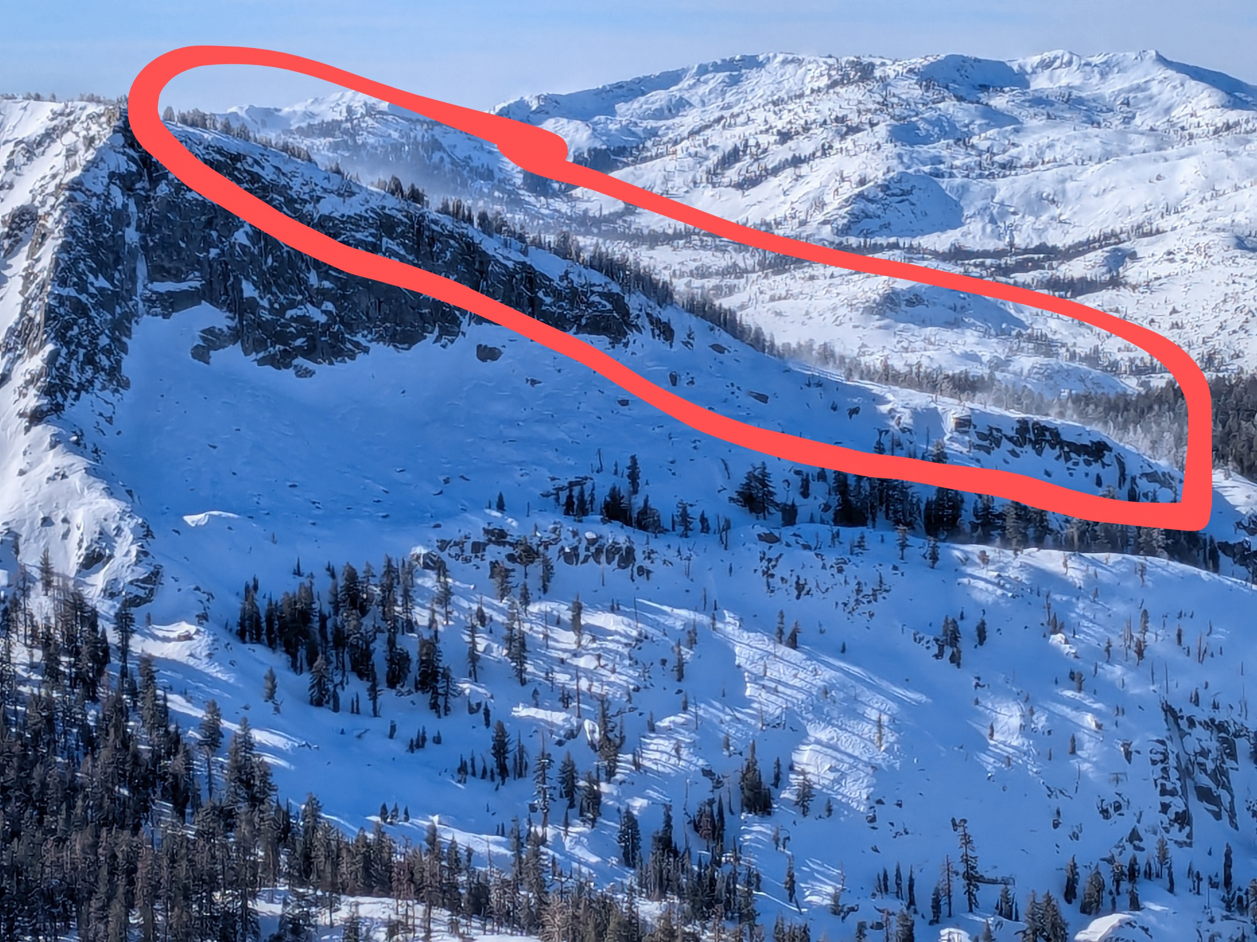
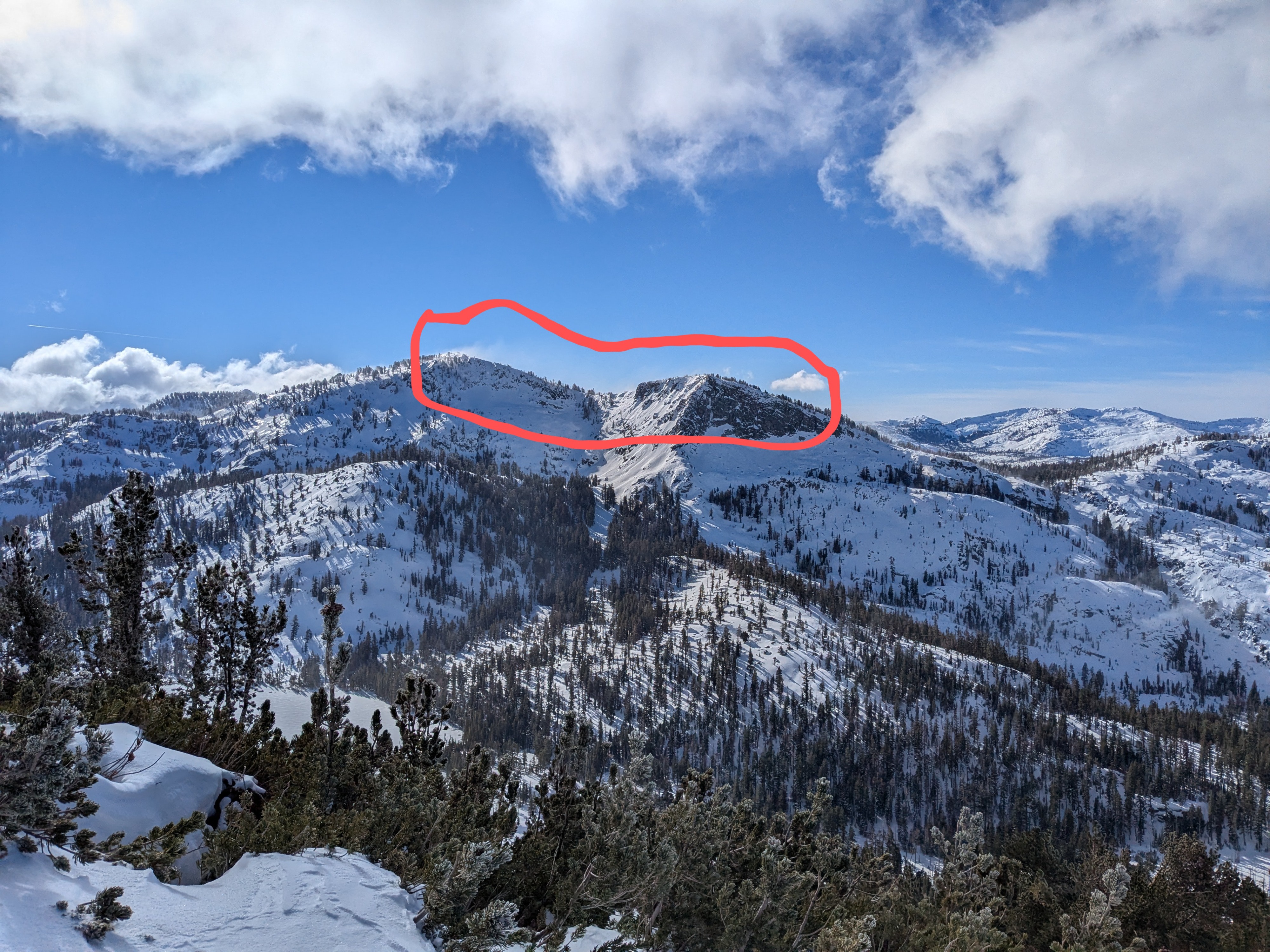
Gale force NE winds were blowing and drifting snow NTL and ATL, redistributing it onto SW-W-NW aspect terrain. Looking west into Desolation Wilderness, we could see evidence of wind scoured snow surfaces extending down close to the bottom of the Meeks Creek Drainage on NE and E aspect terrain.
Blowing/drifting snow observed.Weather
- Cloud Cover
- scattered
- Wind Loading
- moderate
- Rain Elevation
- 8100
- Snow Avail For Transport
- moderate amounts