
Quick report
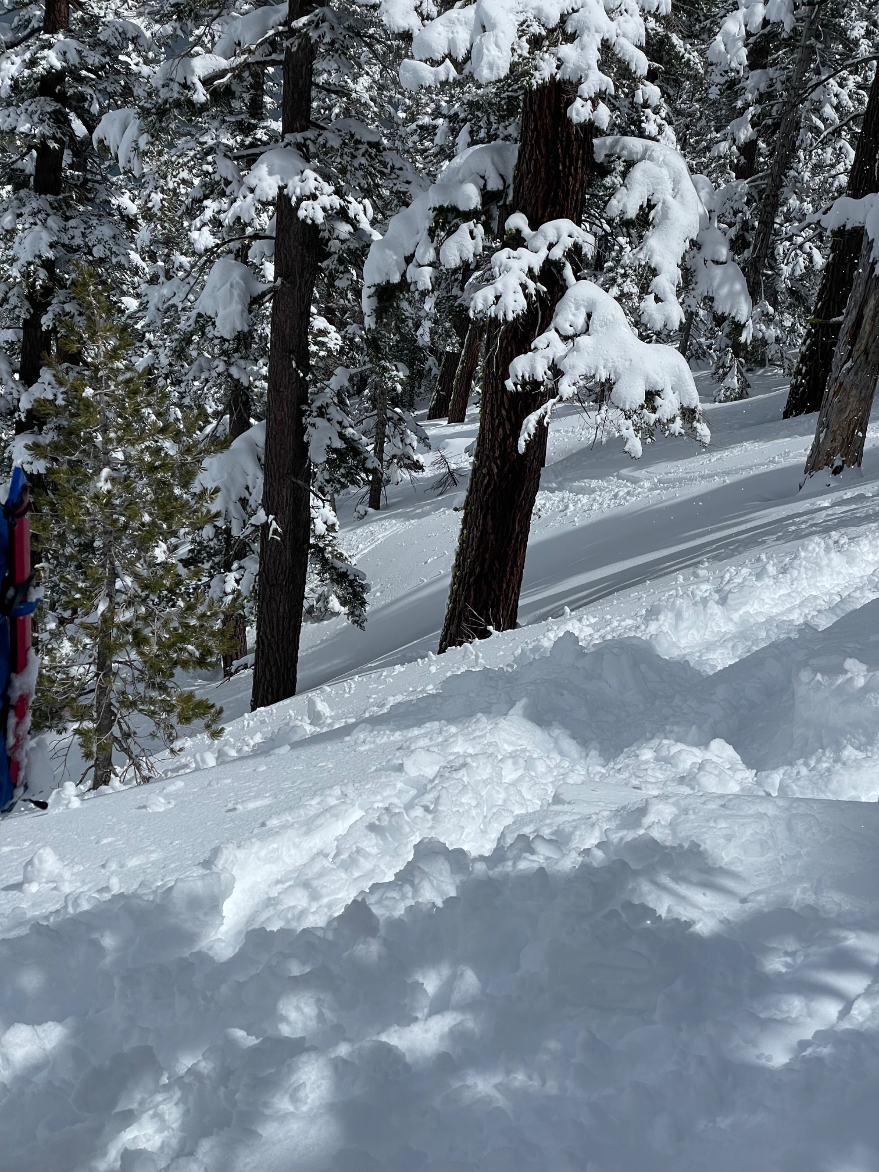
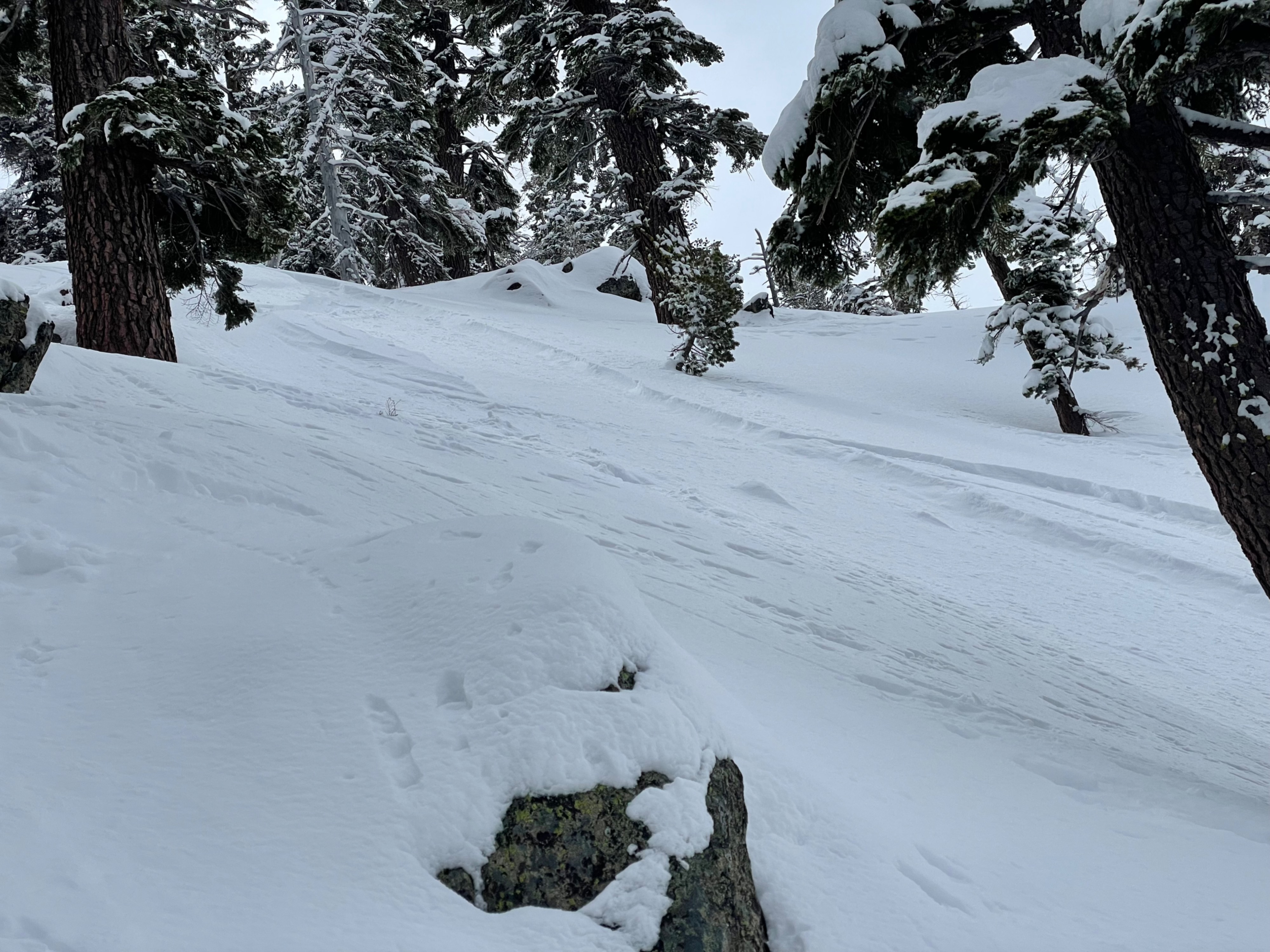
Approx 4-6” of new snow on top of a solid base, more in wind loaded areas up to ~12” below treeline. Rapid warming with broken skies and sunshine from 9am through early afternoon, followed by the onset of a new snowstorm. Initial snow character was hero powder, this changed quickly with warming. We experienced heavy glopping, crust formation on south aspects, dense “chalk” like snow at lower elevations, and surface rollerballs. Impressions changed significantly throughout the day due to the warming of the new storm snow layer.
Avalanche
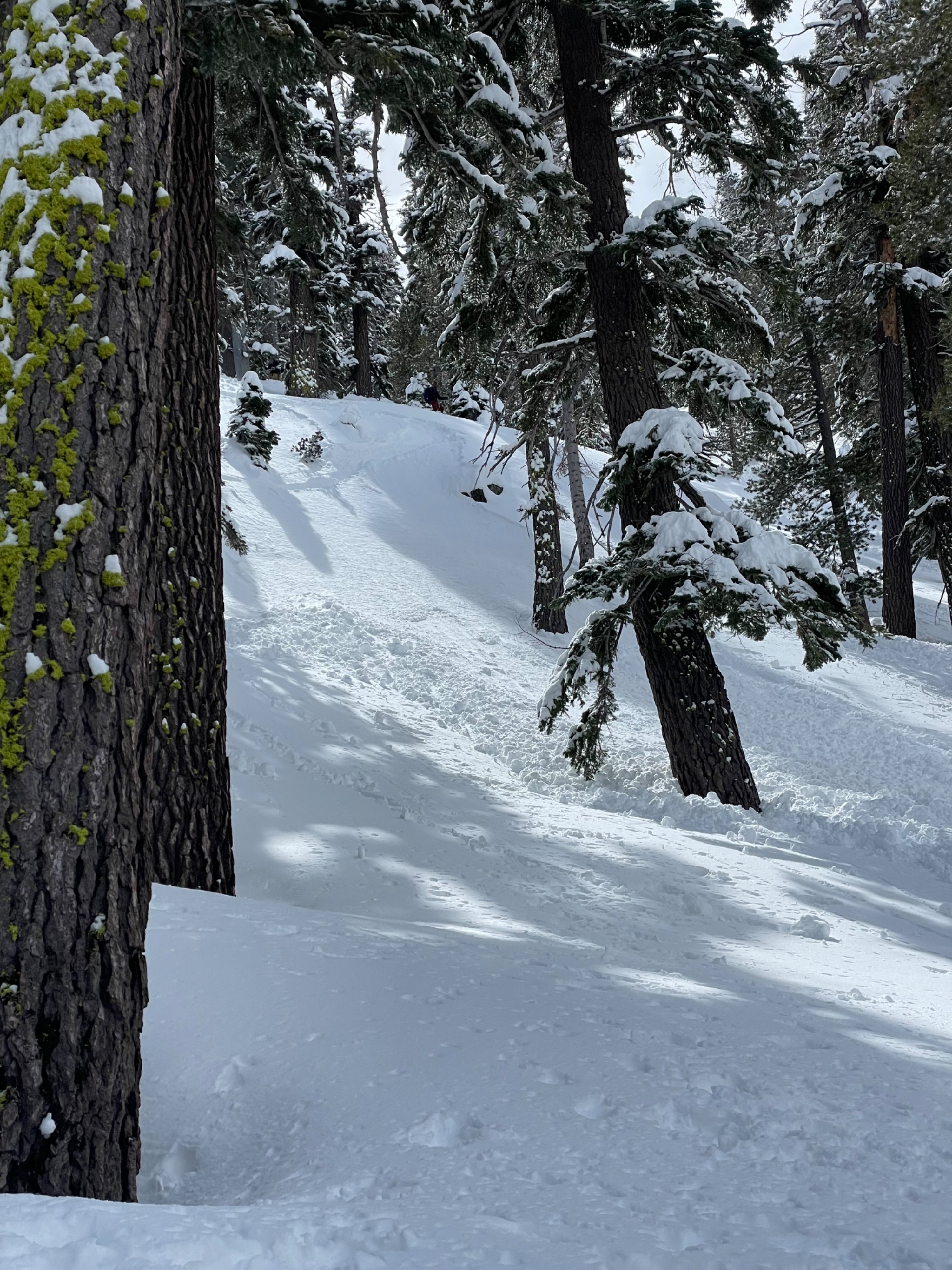
We explored the north slope of Maggies peak just skiers left of the Northwest ridge. At high elevations (~8500ft) and early in the morning the new storm snow was sluffing but showed no signs of consolidated slab behaviour. However at lower, warmer, elevations (~8000ft and below) later in the day the snow changed considerably with a wetter, heavier, more consolidated slab character. We triggered multiple size 0.5-1 avalanches to ~4-6” depth while ski-cutting and traversing to shallower terrain. As we descended the new snow became more and more reactive with releases occurring on 30-35 degree slopes.