
Quick report
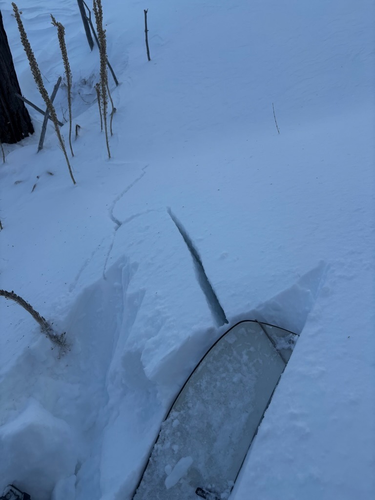
- Cracking
- specific
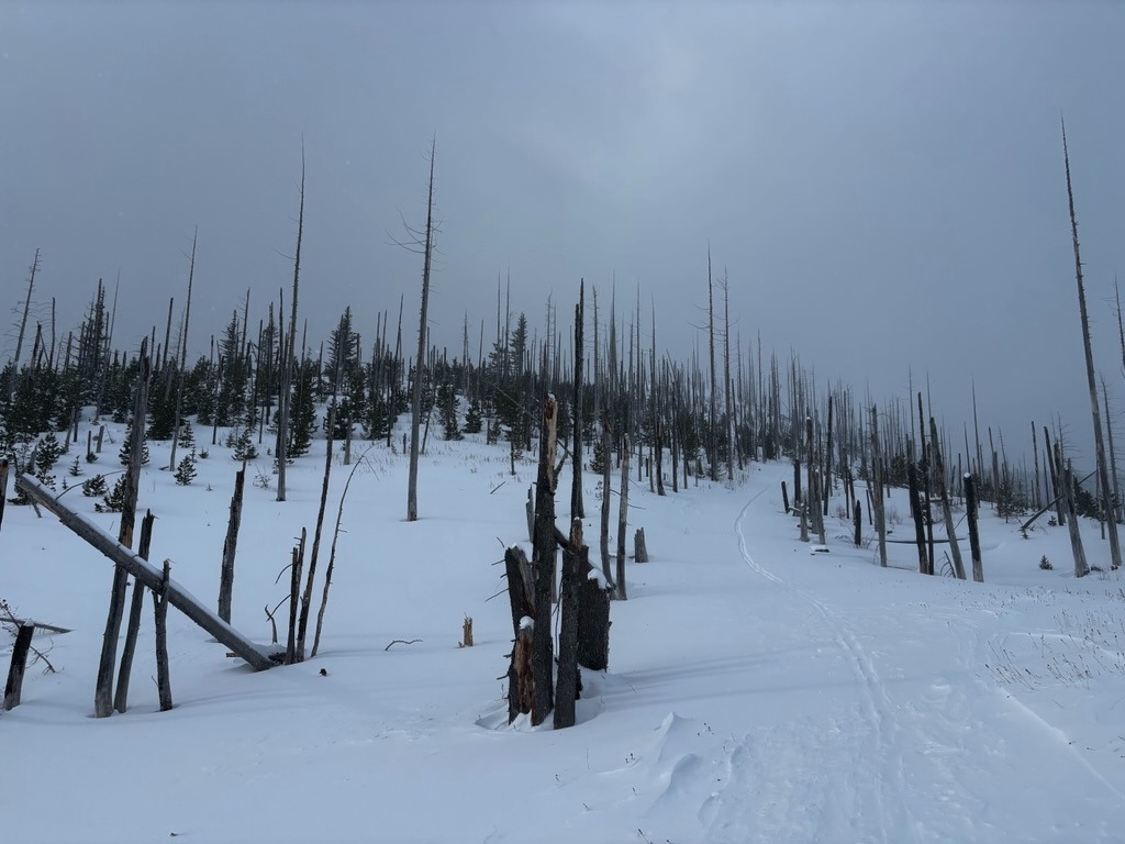
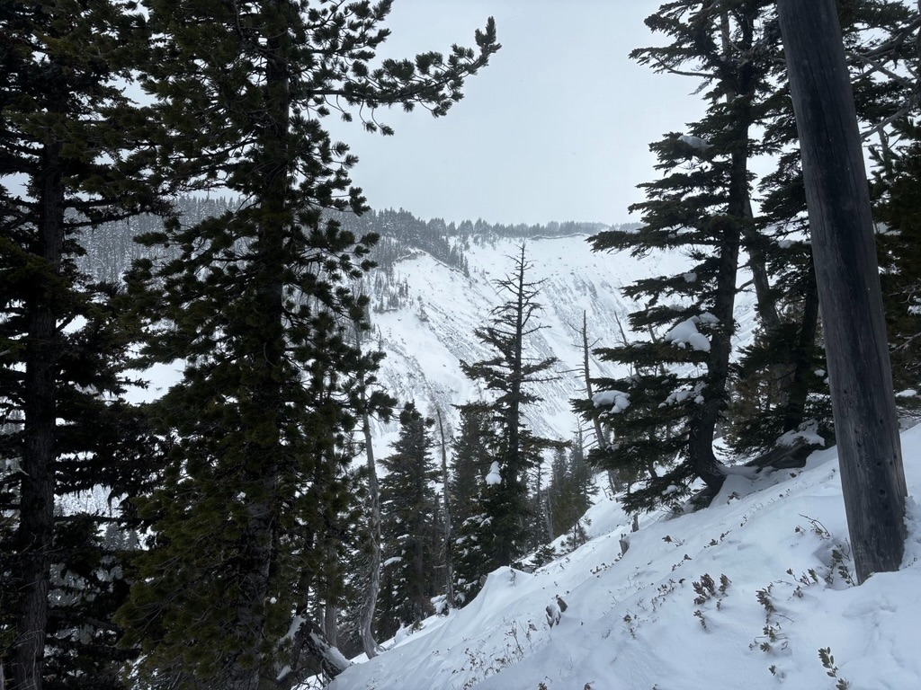
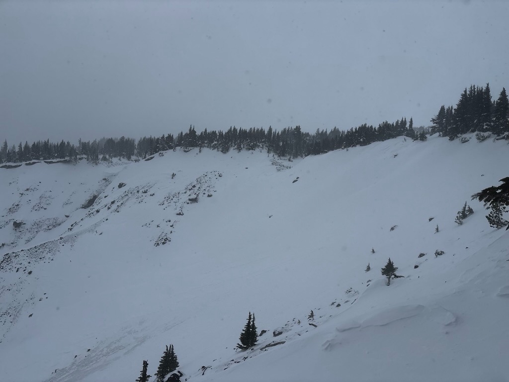
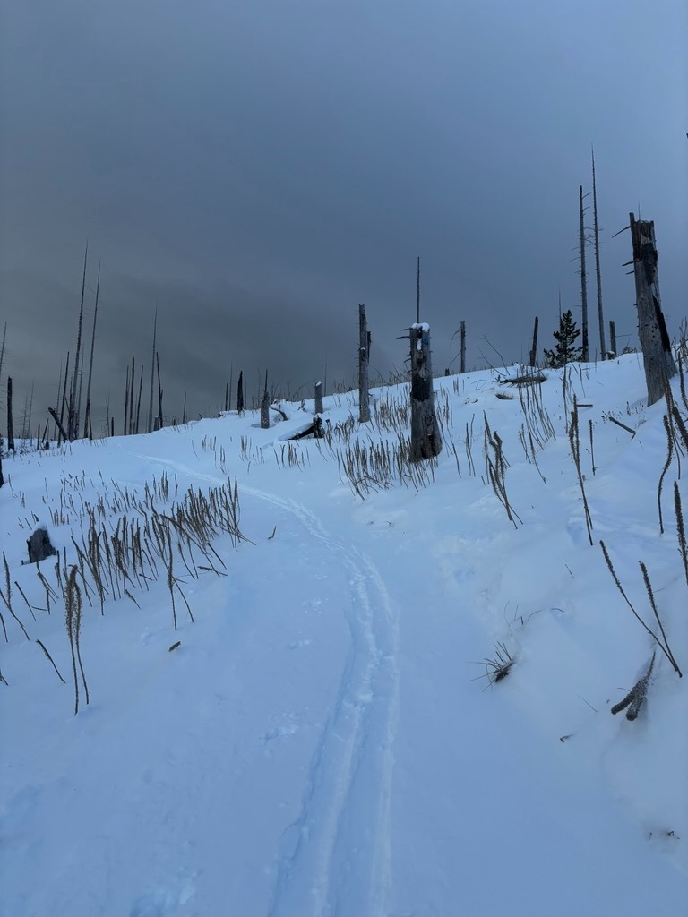
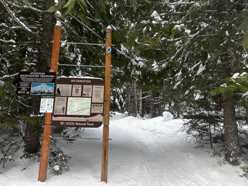
The east side of Mt. Hood, accessed from the Tilly Jane Sno-Park, is finally starting to fill in, though the burn still feels thin despite recent storms. Once in the burn, drifted snow became more widespread and generally appeared stubborn along test slopes. I also received good confirmation that weak layers above the 2/7 crust do exist on this eastern flank of Hood. They produced notable snowpack test results and will be worth keeping an eye on in these rain-shadowed areas.
Instability was confined to wind-loaded features.Weather
- Air Temp
- 20s-low 30s
- Cloud Cover
- overcast
- Wind Loading
- moderate
- Rain Elevation
- 1700
- Recent Snowfall
- 20-30cm
- Snow Avail For Transport
- moderate amounts
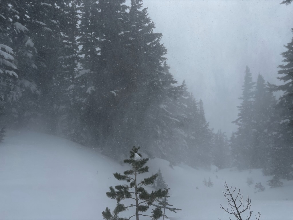
It felt quite stormy above 6000 ft due to blowing snow and strong winds. Freezing levels crept up to 4500 ft or so, so there should be a crust below this moving forward.
Snowpack
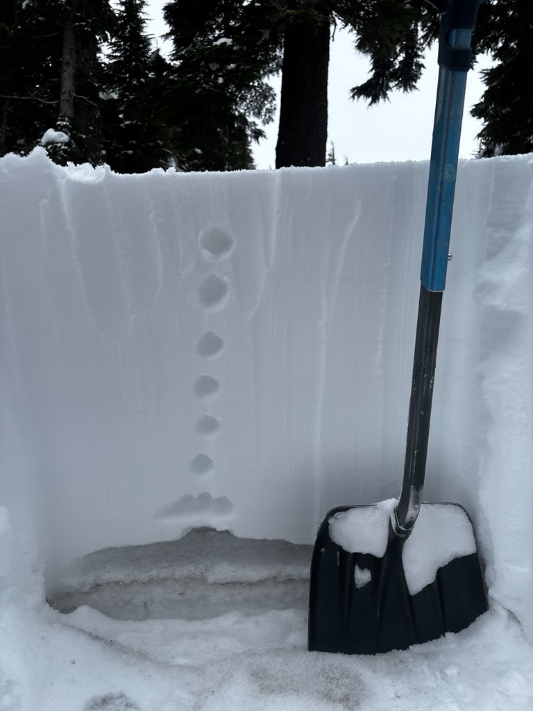
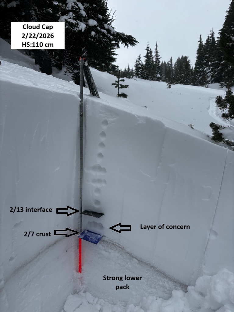
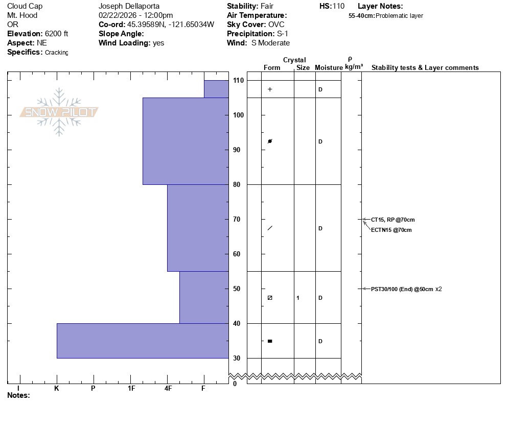
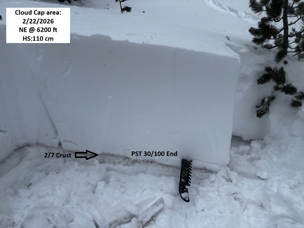
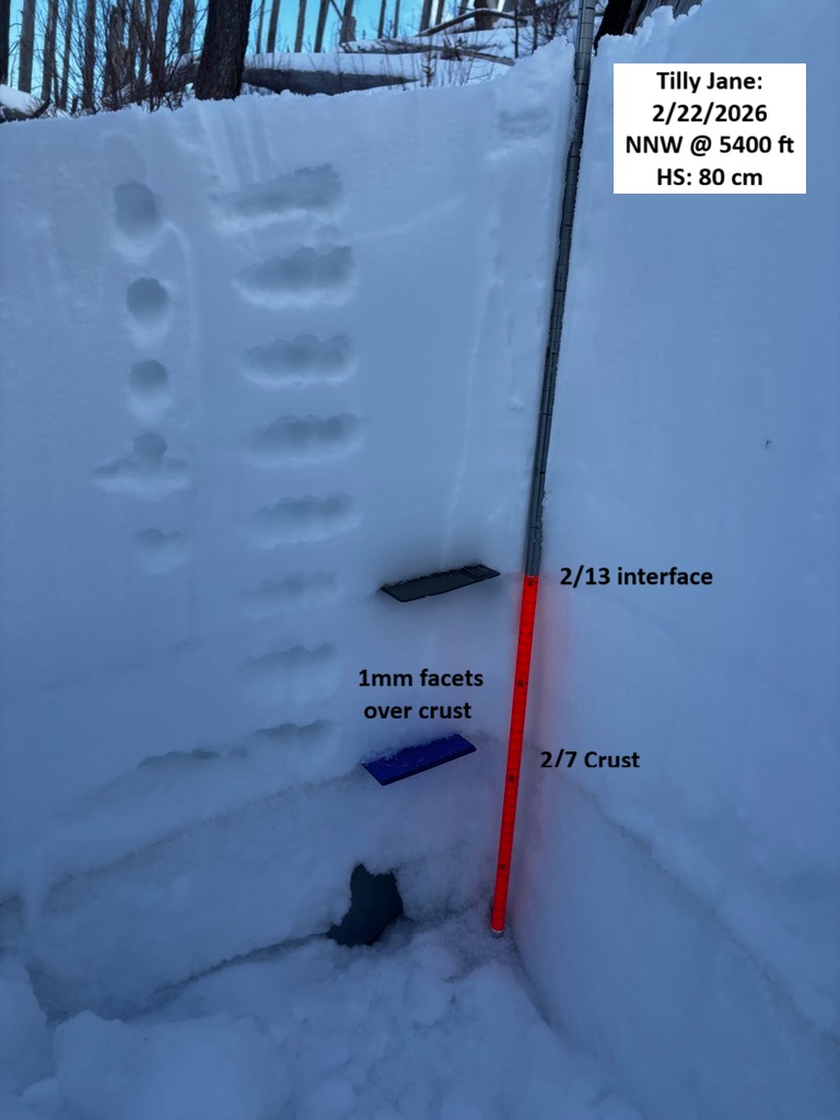
The snowpack is shallow with a well-defined weak layer present above the 2/7 crust in this area. I didn't have to dig much more than 1-2' below the surface to find the stout 2/7 with 4F-, 1 mm FC resting above this block of ice. Snowpack tests highlighted failures on this layer in CT's at lower elevations and propagated with PSTs @ 6200 ft. ECT's didn't propagate on this layer in either location. Some minor mid-storm layers popped out during these tests as well.
While new accumulations have helped, the snowpack remains thin in this area. Here's a rundown on depths:
HS @ Tilly Jane Sno-Park: 20-30 cm.
@ 4500 ft: 40-50 cm
@ 5400 ft: 80 cm
@ 5700 ft (cabin): 115 cm/ 60 cm over 2/7
@ 6200: 110-160 cm