
Quick report
- Cracking
- specific
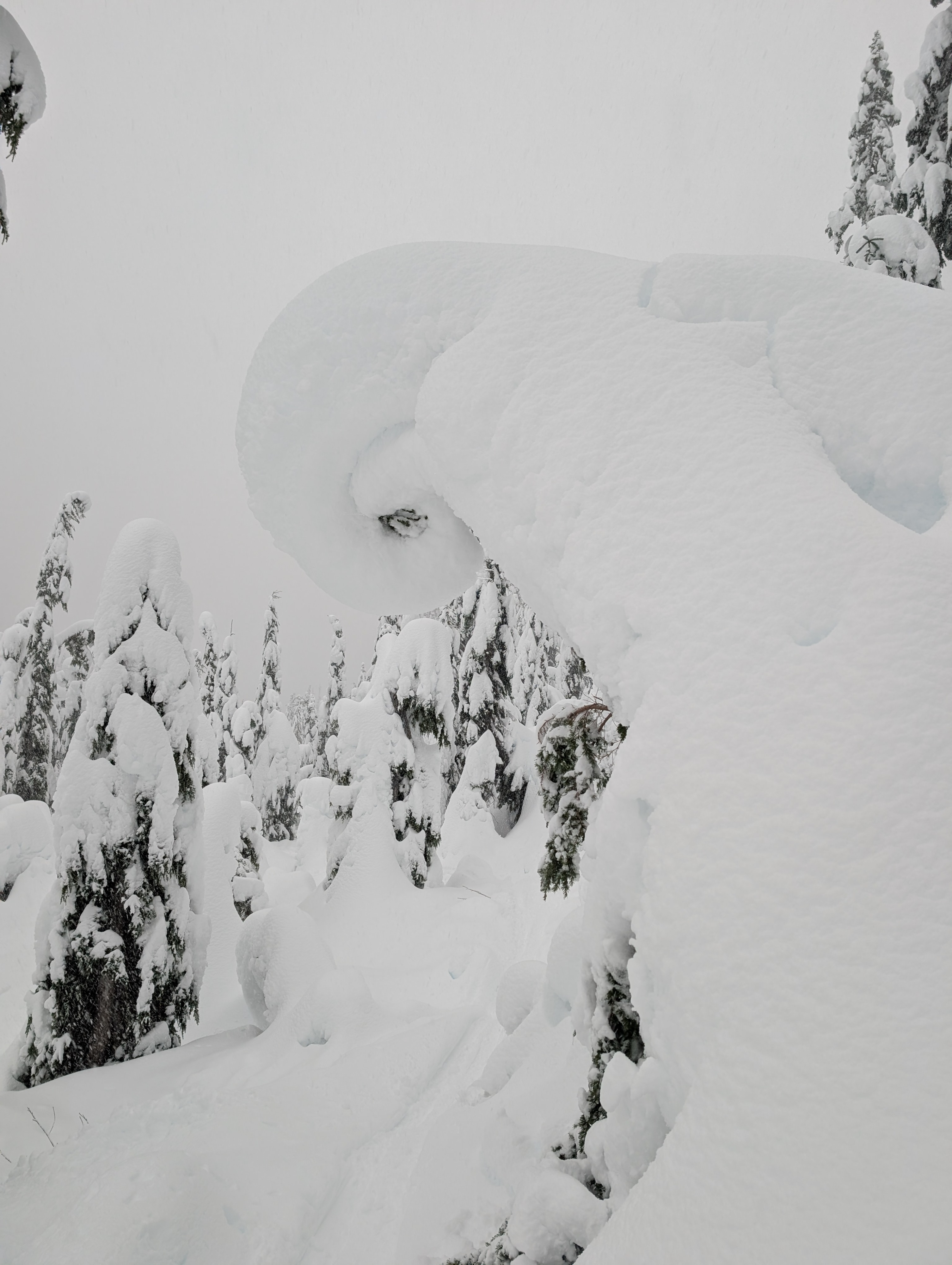
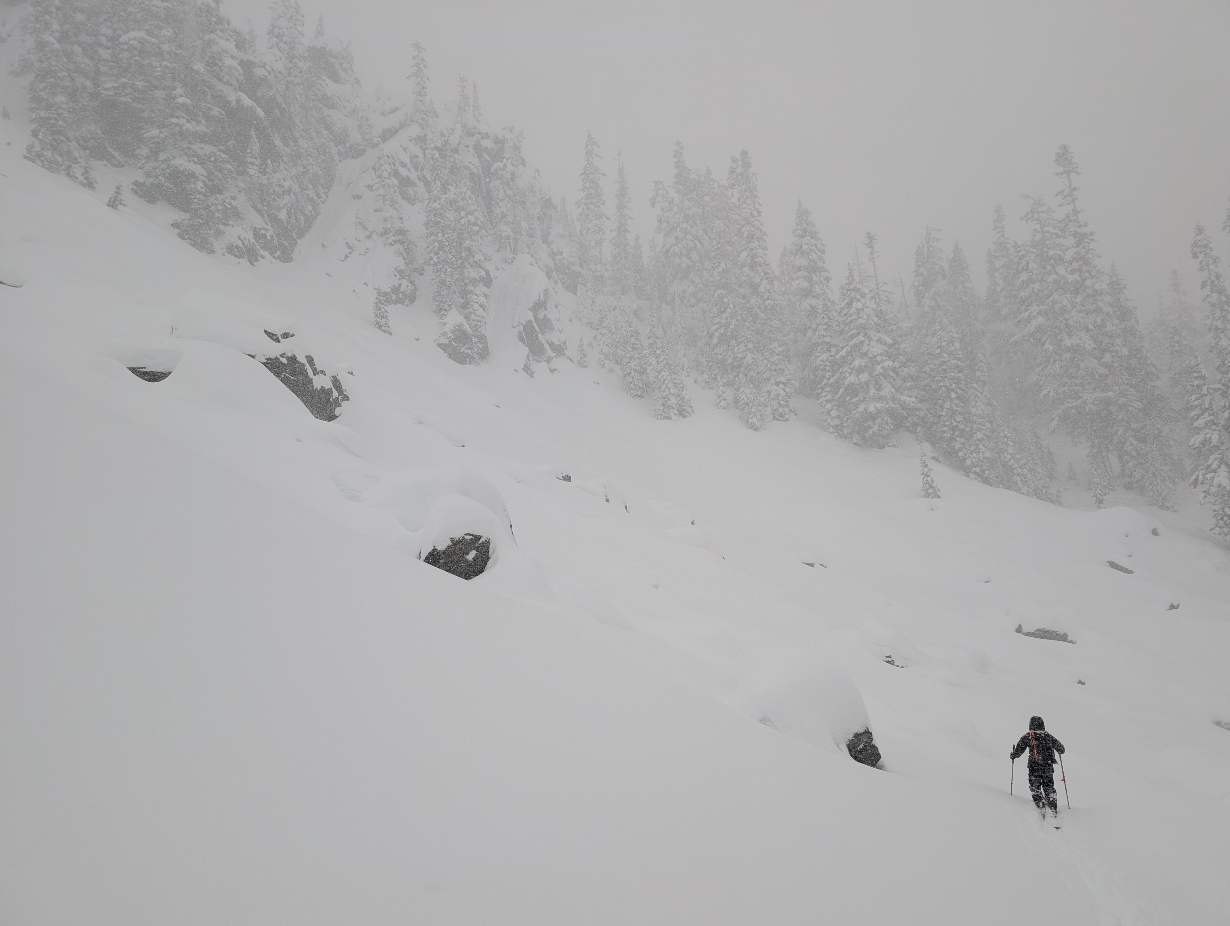
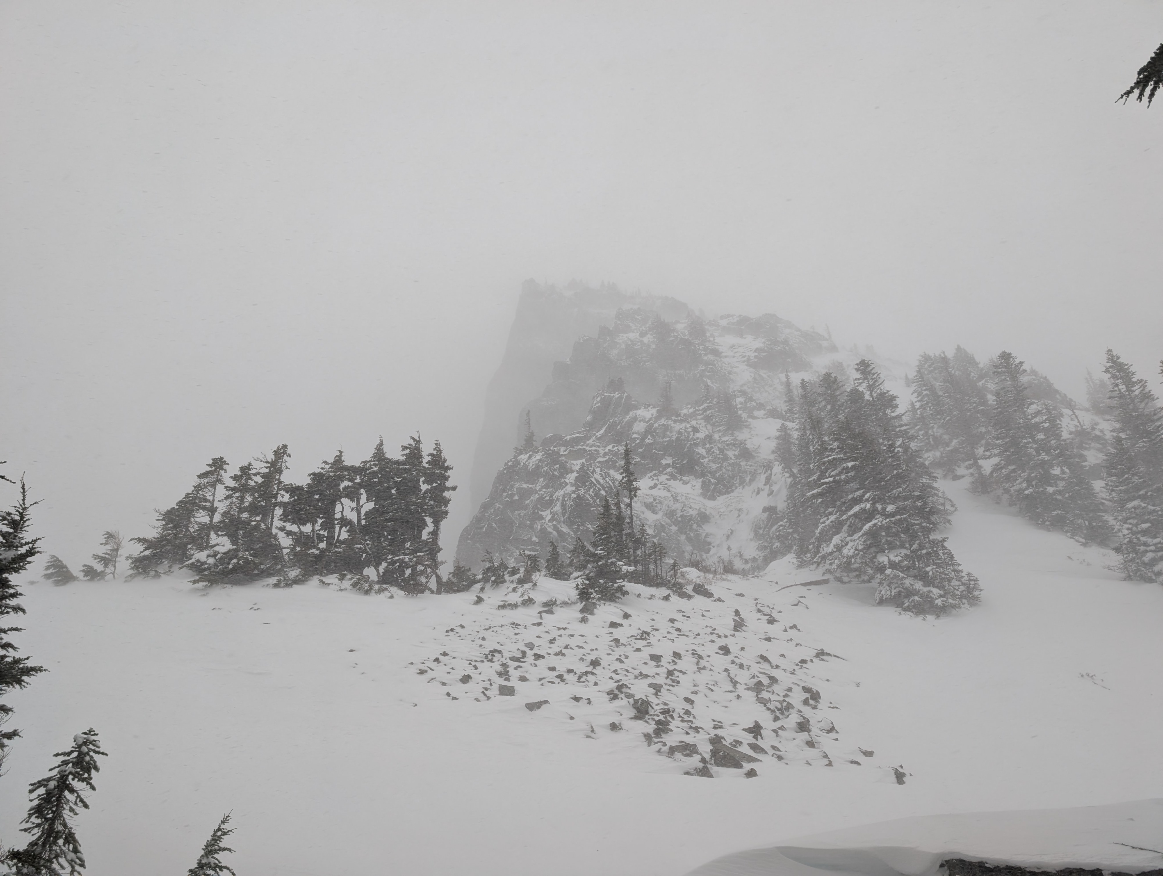
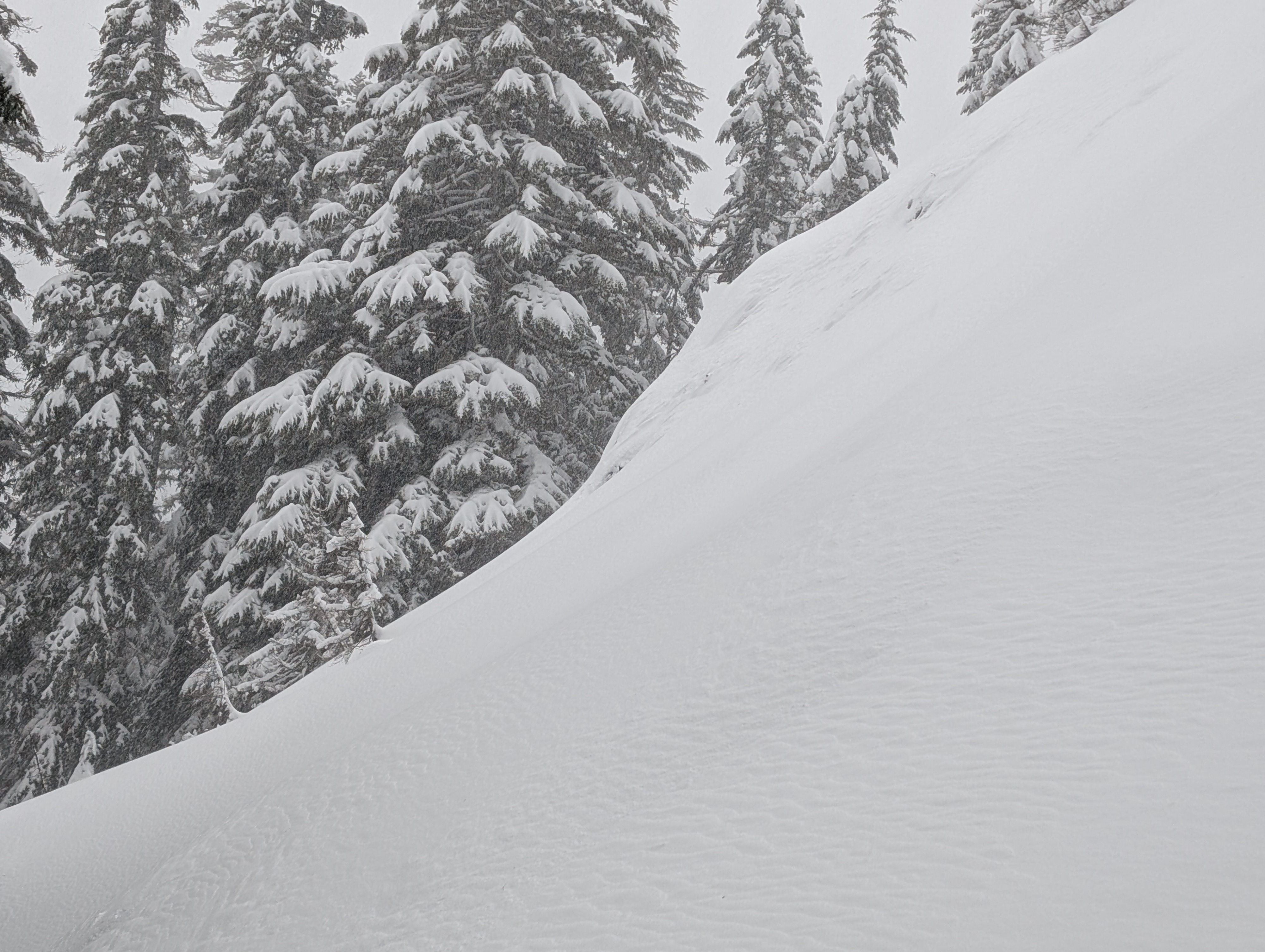
We braved the incoming storm to travel throughout a handful of drainages to get a feel for conditions and see how the storm was changing the existing snowpack. At upper elevations in exposed terrain, winds were easily strong enough to transport snow onto leeward slopes. Down in the forest, or more protected areas, the wind was not as noticeable, but we did have one close call with a massive tree bomb on the North side of Snow Lake Divide.
The crust at the base of this week's storm snow varied throughout the terrain. In some locations, it was a freezing rain crust. You could hear it breaking and collapsing under your feet in shallow areas. Other areas, it presented as moist and still unfrozen. It was easy to punch through it with your hand or ski pole. Overall, we didn't find many issues at this interface, but had a larger focus on wind-loaded terrain. Although we left the upper elevation slopes before the storm really got cooking.
Overall, coverage is greatly improving - we were able to travel almost exclusively on skis from car to car with only a few icy areas down low requiring us booting. That said, lots of small trees, creeks, and holes still exist.
Cracking was small and isolated to us as travelers. We did not get any large shooting cracks or collapsing.Weather
- Cloud Cover
- overcast
- Wind Loading
- intense
- Snow Avail For Transport
- large amounts
Stormy day with steady snow showers throughout. There were periods of moderate precipitation. The wind was generally light in sheltered terrain but gusty and moderate to strong in upper-elevation, exposed terrain.
Snowpack
The snowpack depth increased throughout the day as snow fell and the wind blew. Near the Thunder Creek exit on Mount Snoqualmie (~5300'), roughly a meter of snow is on the ground in semi-protected terrain. On average, we found roughly 35-50 cm of snow over the 1/3 crust as we journeyed through various basins at middle and upper elevations. This depth varied greatly based on tree cover, exposure to wind, and elevation.
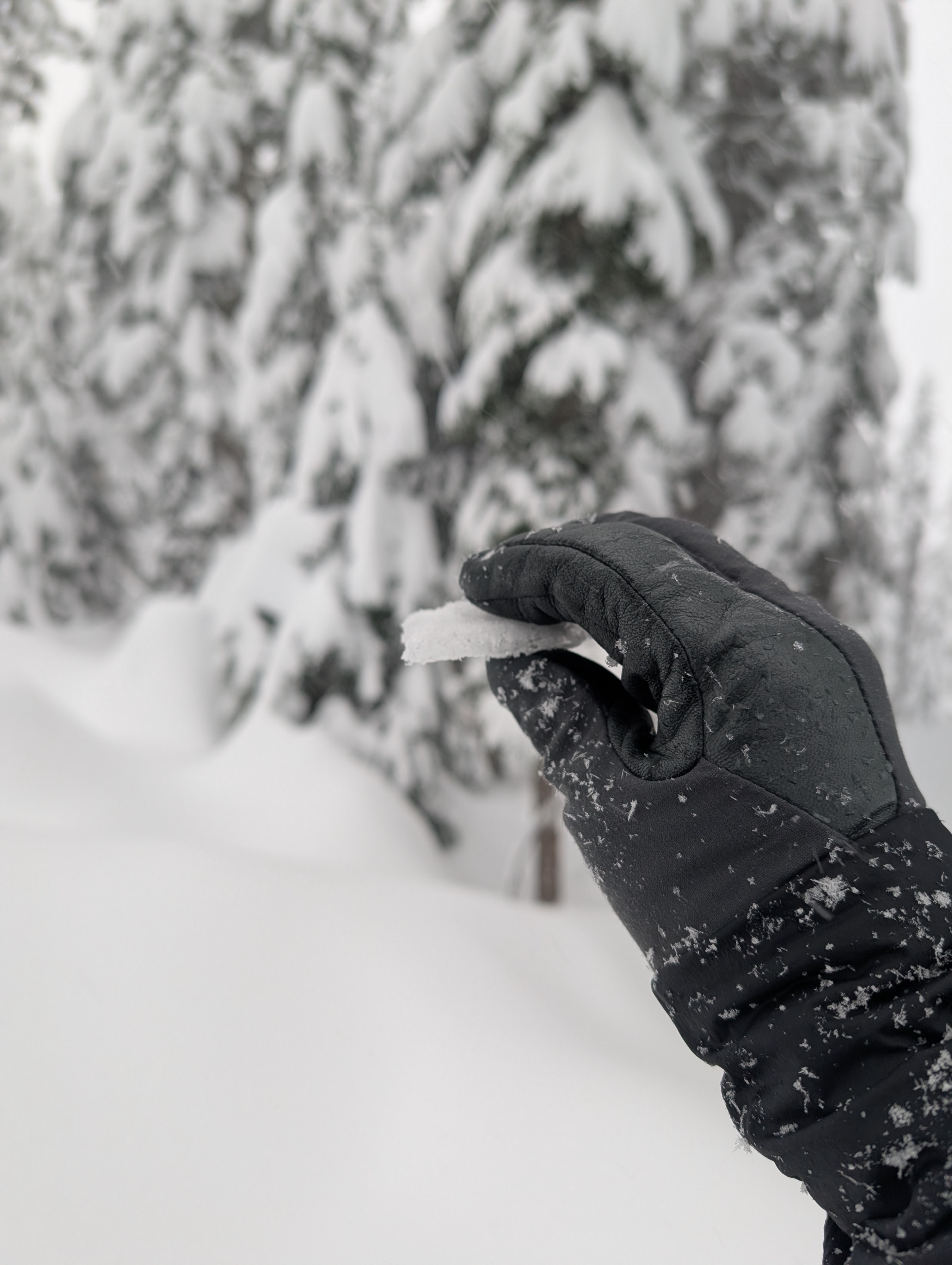
An interstorm layer exists a few inches above the 1/3 crust and was failing repeatedly in hand pits. By the end of the day, the snow was starting to get upside-down , especially at lower elevations.
Avalanche
No new avalanches observed, but visibility was limited. Old debris below cliff bands was spotted on the exit from Source Lake down the Alpental Valley.