
Quick report
- Cracking
- specific
It is still winter in the mountains if you get up high enough! A little bit of trudging through patchy, mushy snow on the sled led to some excellent skiing conditions in dry powder. Overall, I was impressed by how much the wind had affected this area in previous days. I also expected to see a lot more moistening of the snowpack but did not observe this throughout my day either. Although the snowpack still harbors some moisture from the end of March AR on most aspects and elevations, it seems to be quite stable with boot and sled supportable crusts near the surface.
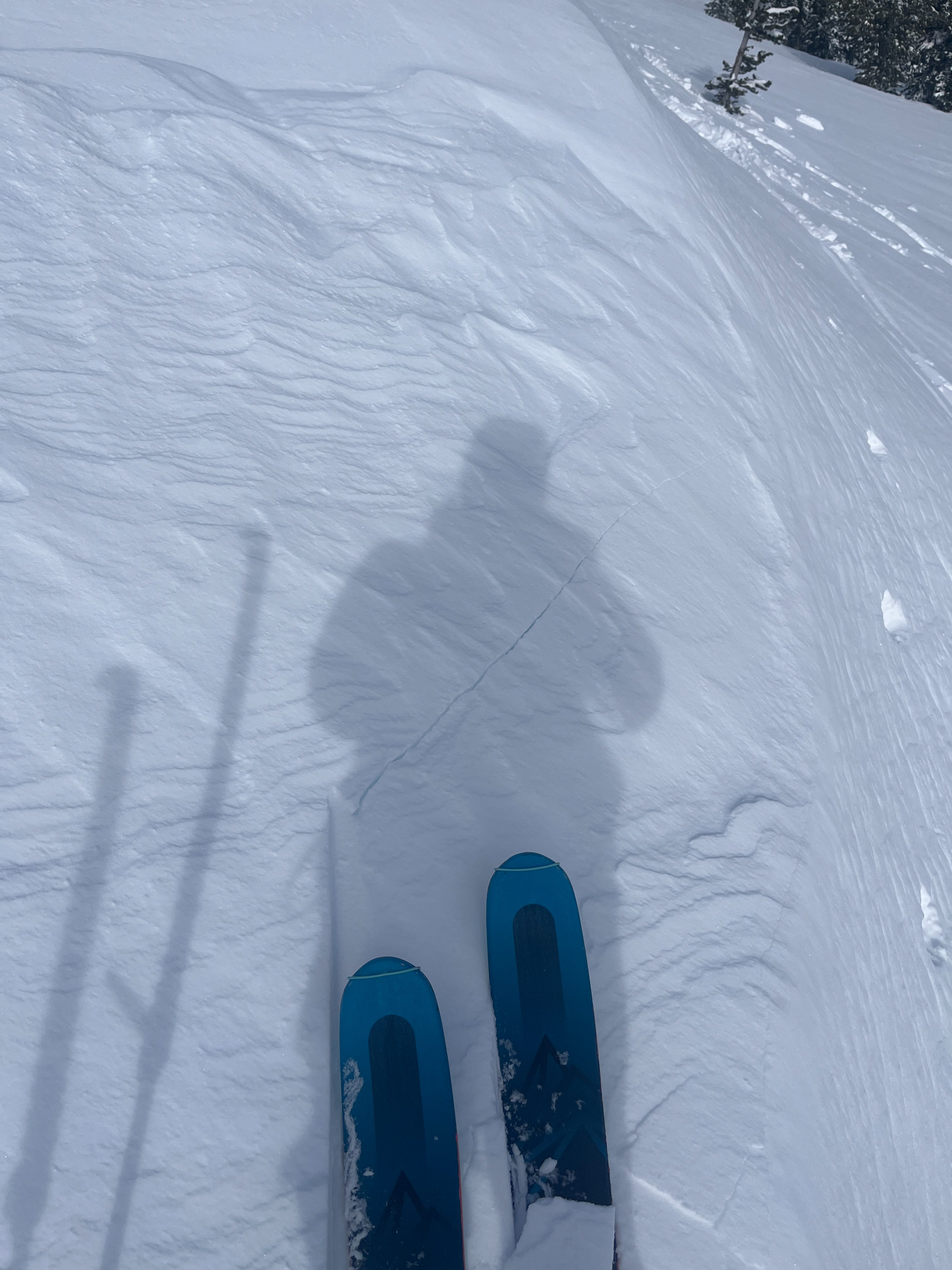
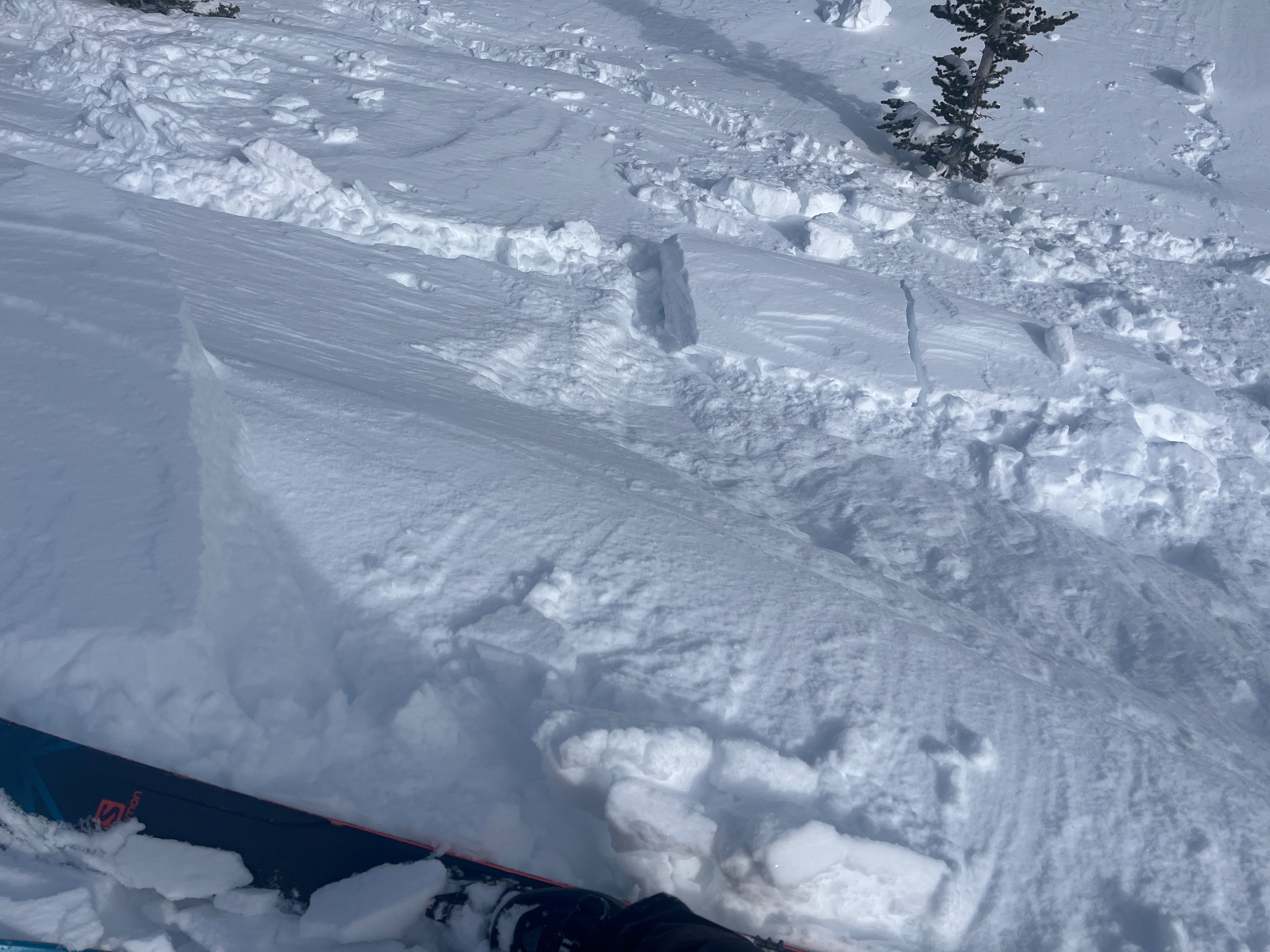
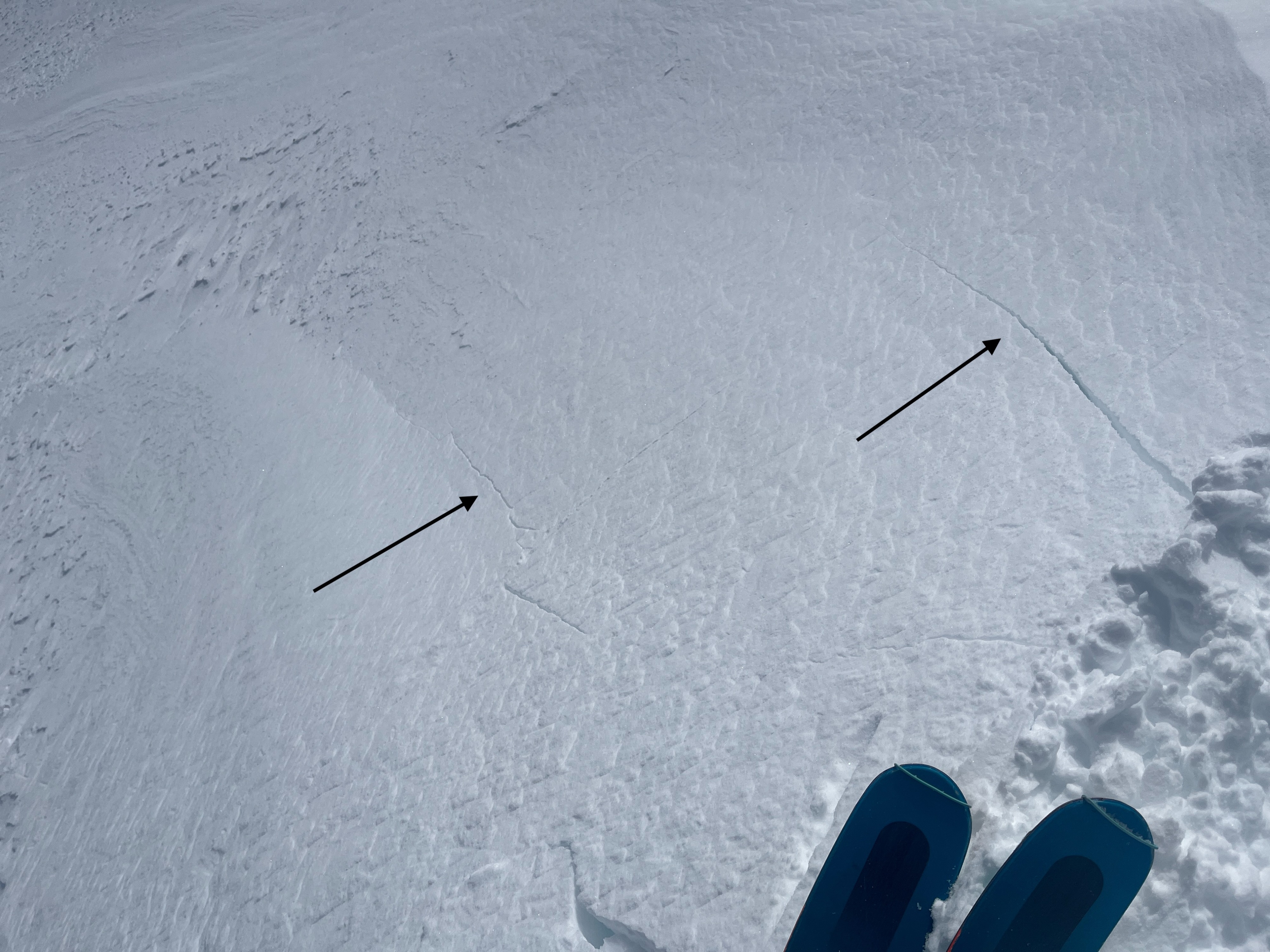
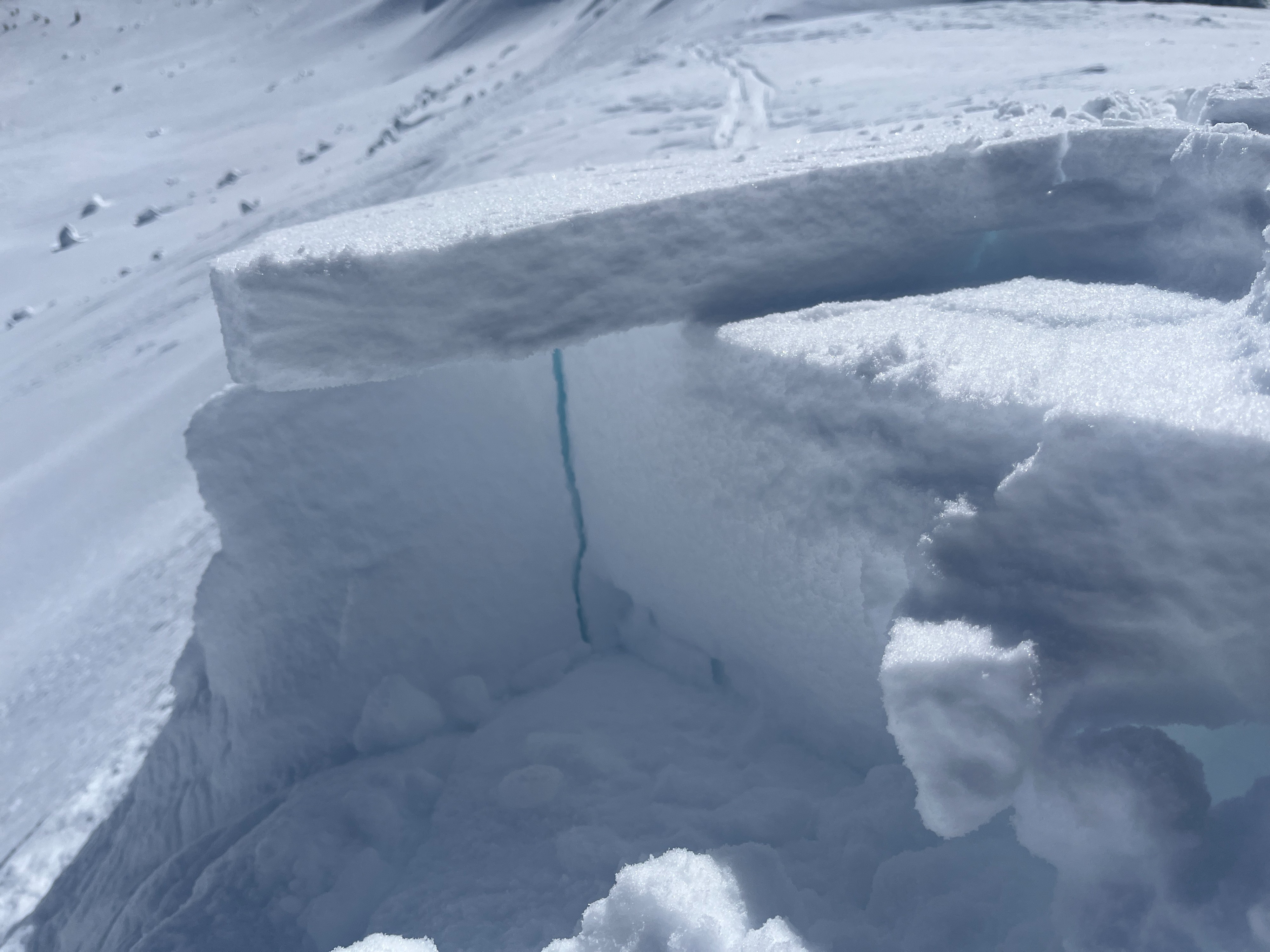
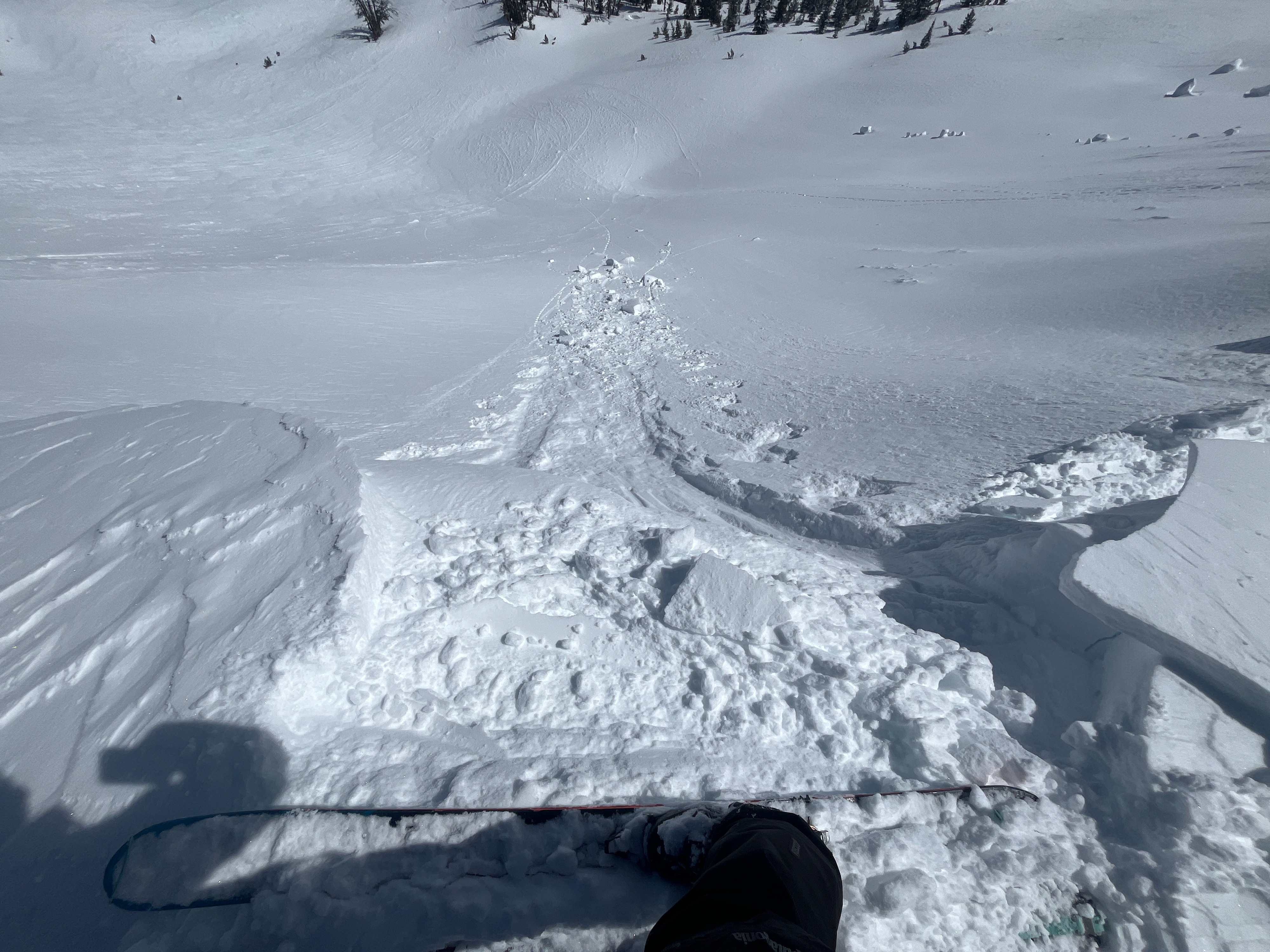
As I walked along north and east facing ridgeline, I was able to get cracking in many spots and set off pieces of fresh cornice. In some areas it was harder to do than others. Slabs were anywhere from 3-12" thick.Weather
- Air Temp
- 21-46
- Cloud Cover
- few
- Wind Loading
- previous
- Recent Snowfall
- 29
- Snow Avail For Transport
- small smounts
The truck read 46 degrees at the trailhead in the morning. The sky was mostly filtered sunshine up until around 1p when it mostly cleared out. Above 5000 ft, temperatures felt like they dropped significantly and I recorded 21 degrees at 6600 ft. The wind overall was light to moderate from the northwest. I saw small amounts of snow being moved around by the wind but previous strong wind events had moved most of the snow already.
Snowpack
There is a stark difference between overall conditions below 4500-5000 feet and above. Below, there is no snow left on south facing aspects and pretty patchy snow on north aspects. The snow is mushy and not refreezing very well overnight on the road. Average snow depths in sheltered areas are around 39in/100cm and more supportable. Once you hit 5000 ft, it completely transforms into winter. There is much more consistent snow coverage and the surface snow is soft and dry on northerlies. On southerlies, surfaces are capped not by a sun crust, but by a wind crust.
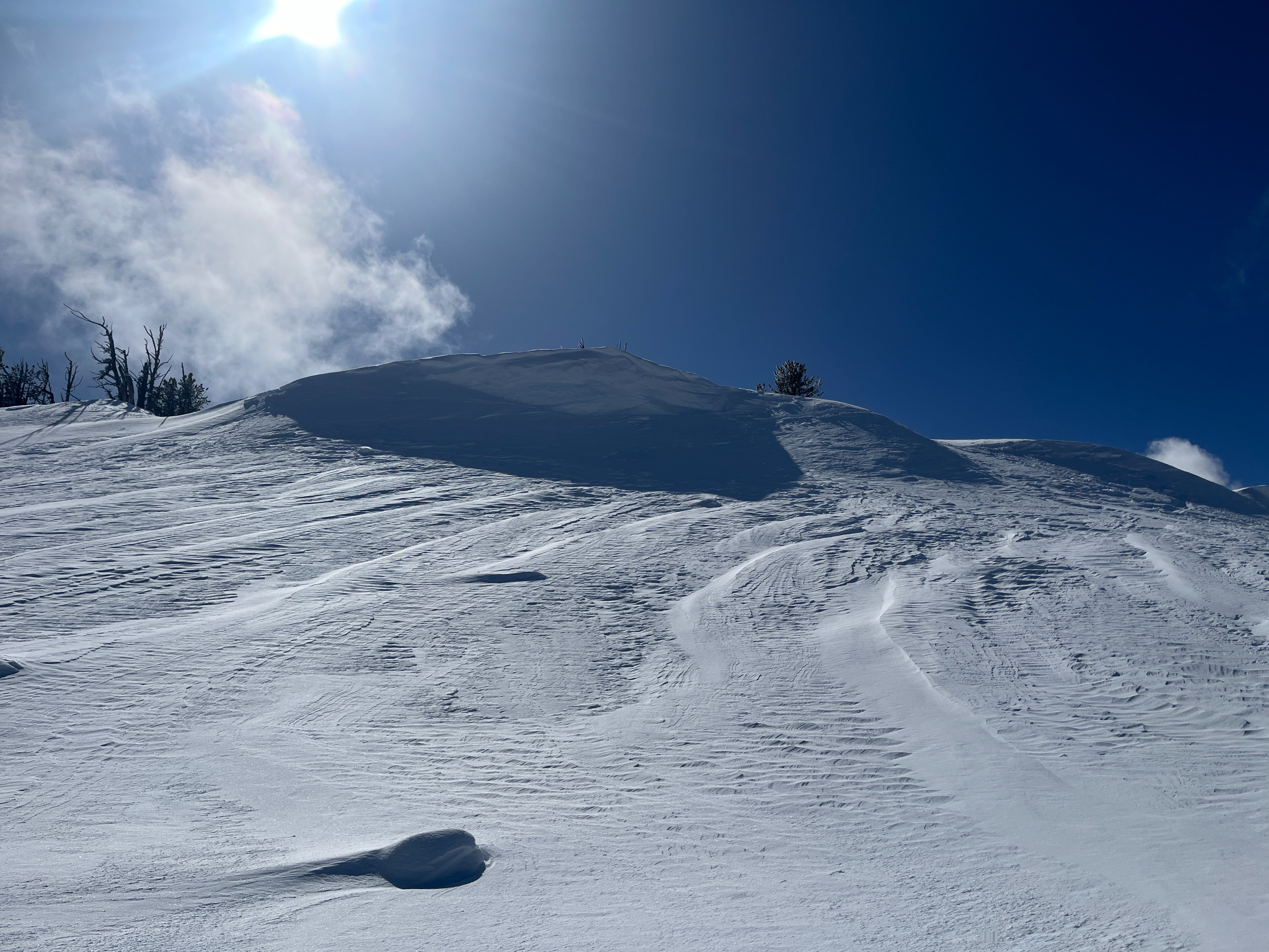
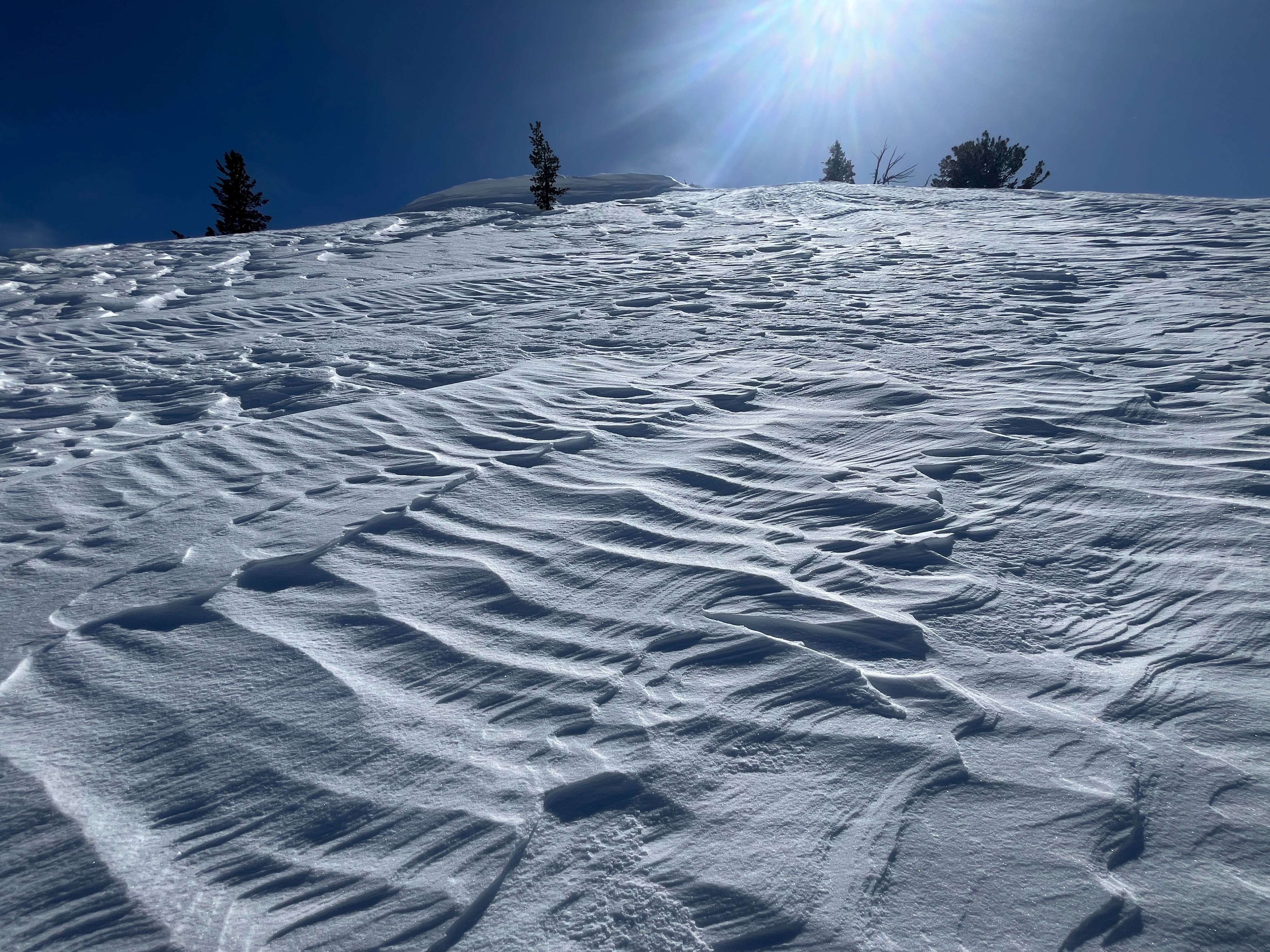
The wind has definitely been doing some work in this area, especially a strong east wind event that happened last Sunday. I observed that west aspects were well scoured. There was fresh cornice development over cornices that had been knocked back by atypical east wind. The snow surfaces at and just below ridgelines were heavily textured and uneven. It was easy to find wind affect in sheltered areas as well, so much so that I had trouble finding a spot to dig a pit that was not wind affected.
I dug a quick pit on a south aspect at 6800 ft. The depth of the snowpack at this location was 104in/265cm. The top 18in/45cm of snow below a wind crust was moist (still harboring moisture from the end of March atmospheric river event). Below this is an extremely robust ice lense. The snow is dry to moist below that.
I dug a pit on a northeast aspect at 6650 ft. The depth of the snowpack was 129in/327cm and the depth of my pit was 54in/137cm. I found 1in/3cm of new snow and another 10in/26cm of recent snow, all of which was dry and fluffy. This overlayed a robust melt freeze crust formed during the March AR event. This crust was still moist, and although the top 5in/13cm of it was very supportable, the bottom 11in/27cm was less as it is taking longer for moisture to leave it. The snow below this crust was basically dry and pencil hard. I performed a compression test and got a hard sudden collapse within the weaker, moist snow (CT24SC down 48cm). I performed an extended column test and got no results (ECTX).