

Quick report
- Collapsing
- specific
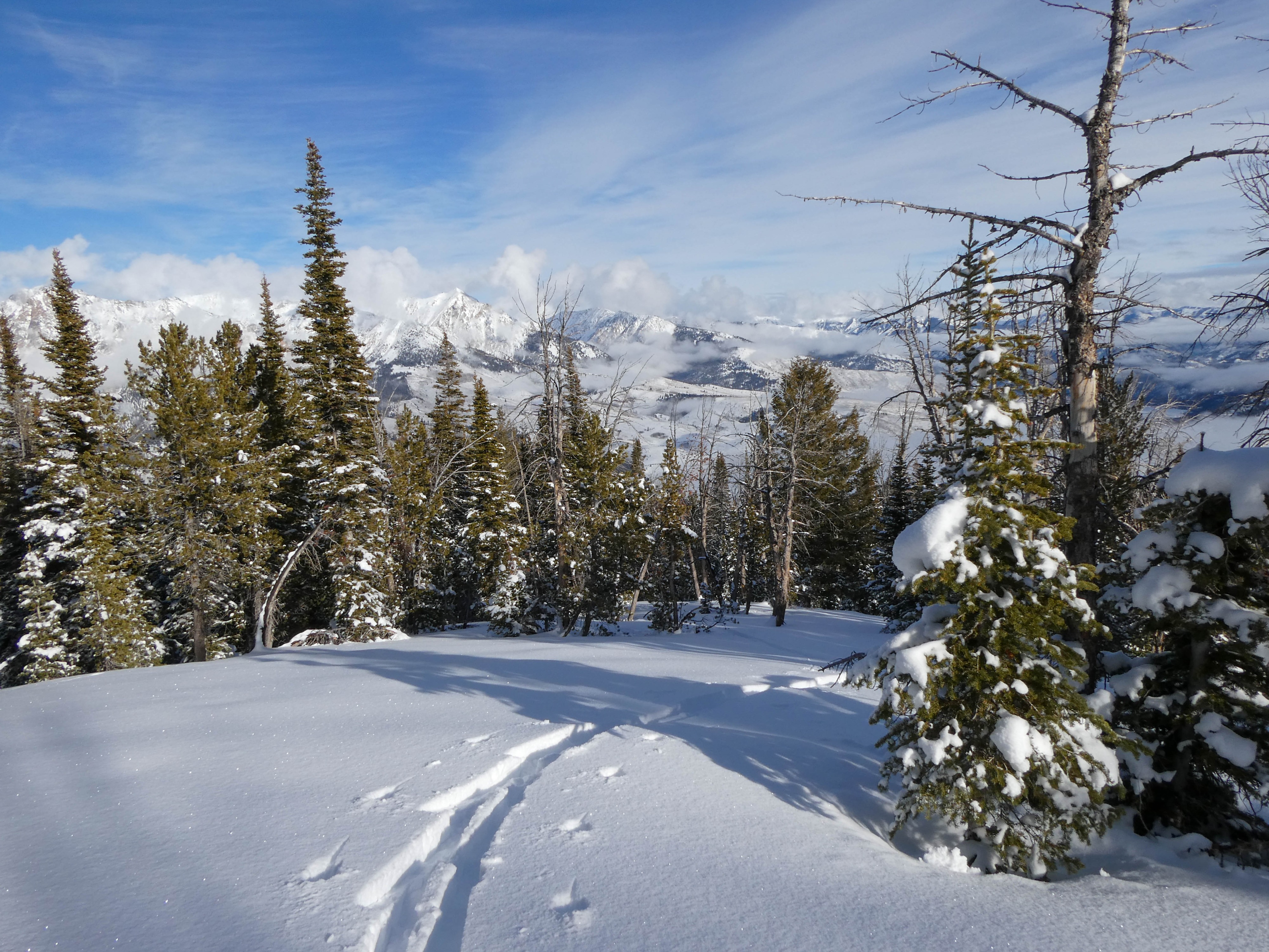
Experienced some collapsing while skinning both on the road and up high in the forest. These were always on shadier northerly slopes, or slopes protected by the wind. When compared to collapses experienced in other zones in the past few days, they were small (radius ~6-8')
Weather
- Air Temp
- Inversion (<32 valleys / close to 32 mid to upper elevations)
- Cloud Cover
- scattered
- Wind Loading
- previous
- Rain Elevation
- -
- Recent Snowfall
- -
- Snow Avail For Transport
- moderate amounts
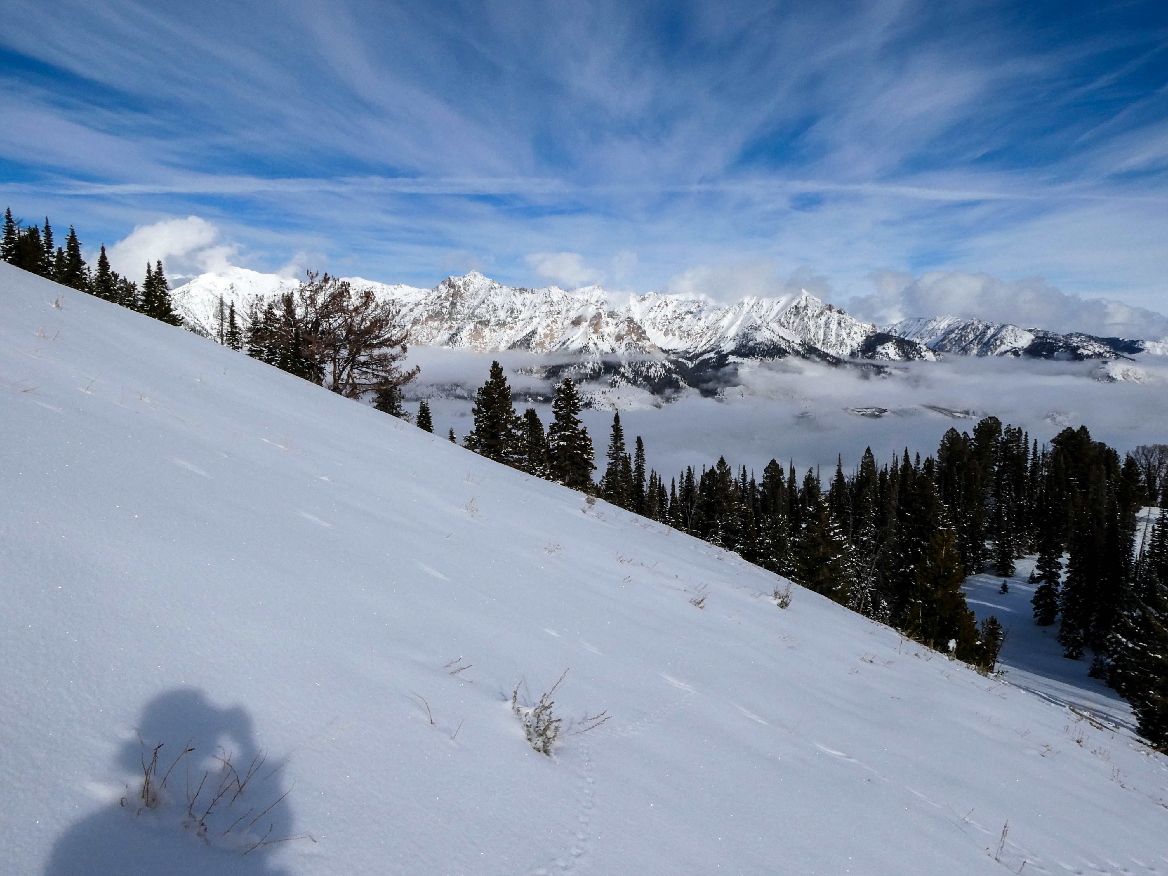
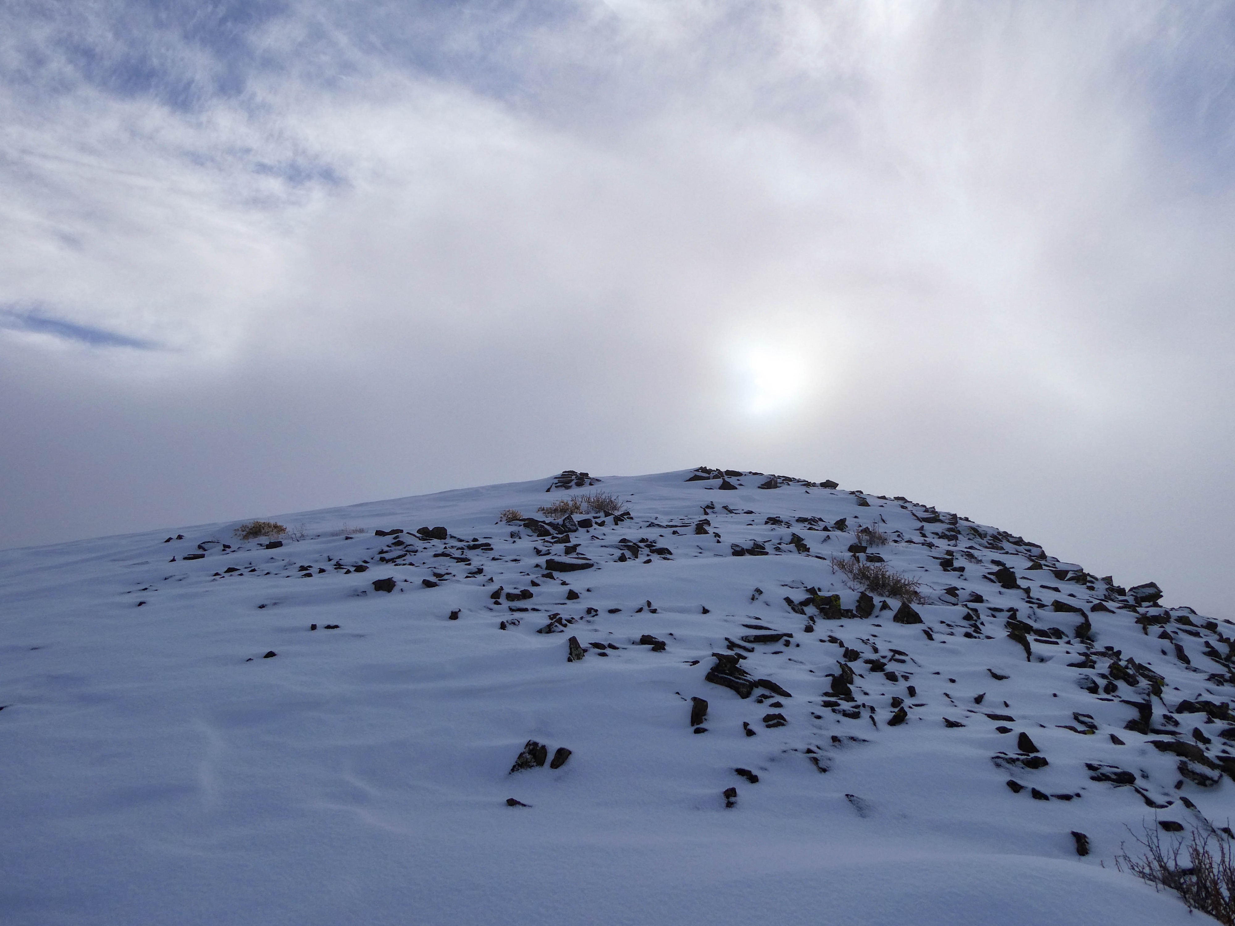
Leaving the car around 1130, temps were below freezing at valley level 6800'. As I skinned up to 7200', I almost immediately had my vents open and was down to my base layer due to the inversion. This spring-like weather persisted throughout the rest of my tour, with the exception of the last 100 or so feet to the summit knob that was in the shade. A brief wall of dense cloud cover rolled in at the summit the same time I did, but receded by the time I was back down off the summit knob.
Snowpack
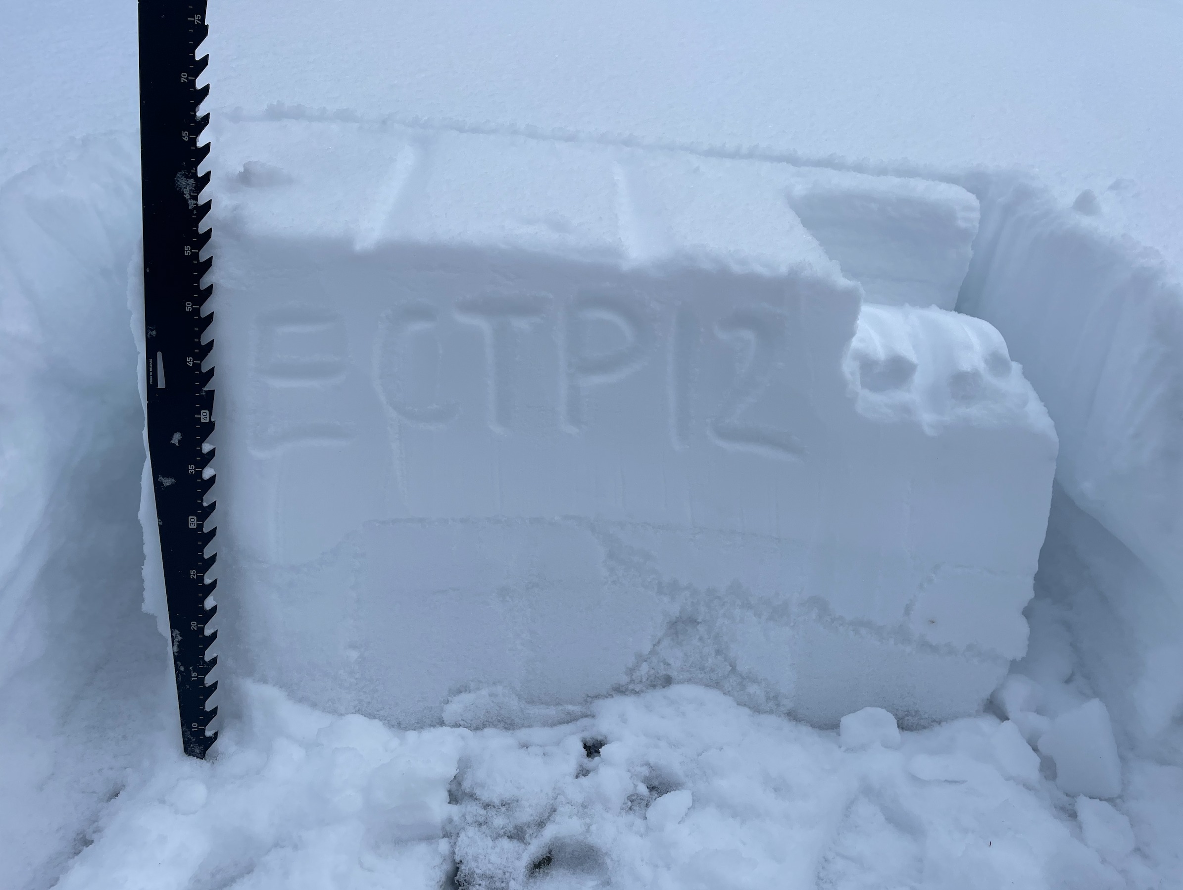
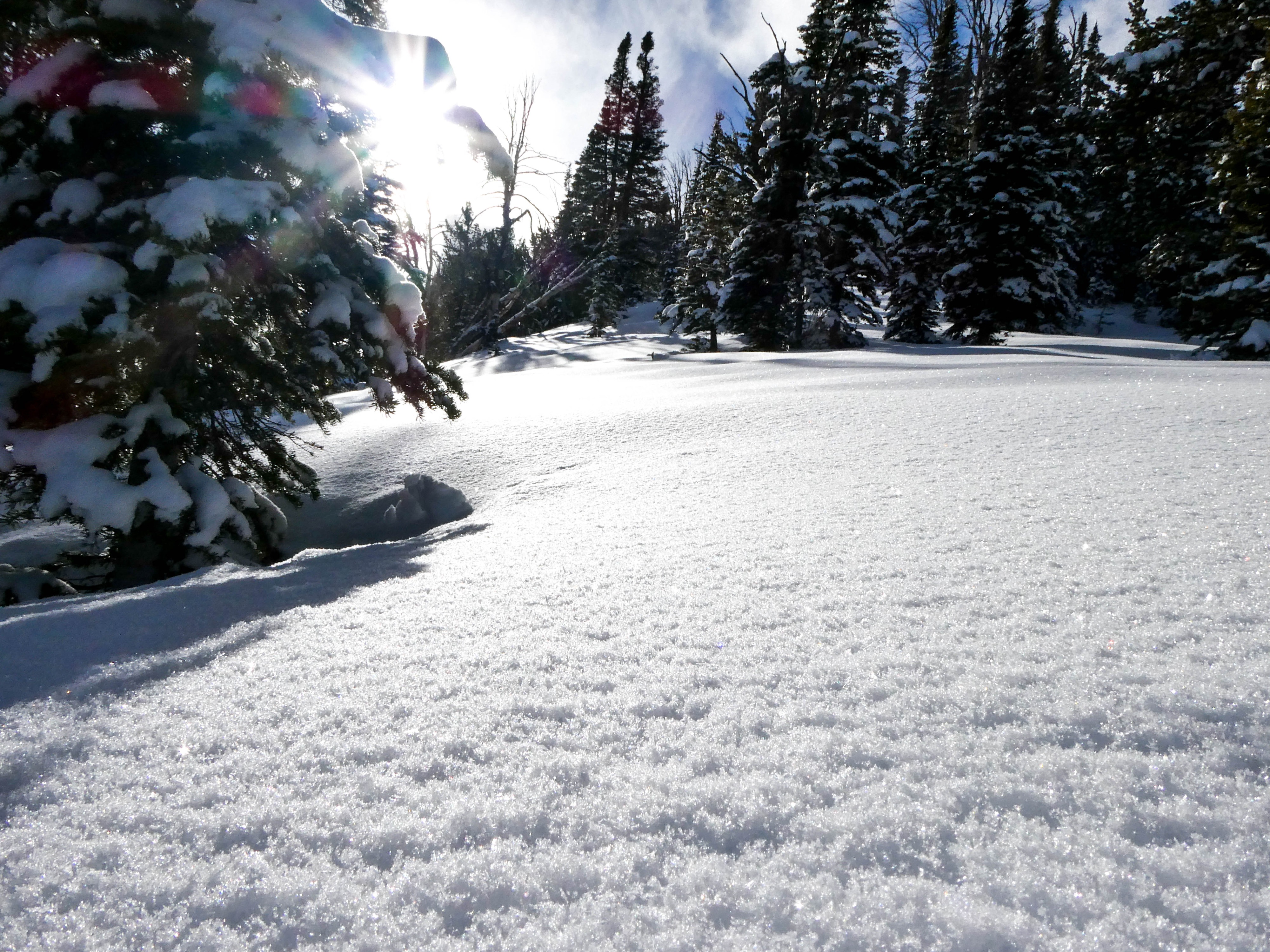
Skinning up the road, I found ~30cm HS just after passing the nordic trail. Snow surfaces were soft, light, and dry in the shade. Climbing out out of the inversion at 7200', there was a light ambient temperature crust along the snow surface, with the snow below being moister and heavier than at lower elevations. Collapsing started at 7600', but would stay mostly localized (6-8' radius). Gaining the ridge from the road, I was surprised to not note any signs of recent wind transport: 4-5cm of fresh storm snow laid on top of another 6cm of light snow. Snow surfaces were barely textured. Conducting an ECT on a NE-facing slope at 8300', the persistent slab still showed that it was likely to trigger with moderate force on the 11/30 facets (ECTP12). Surface hoar development was widespread, and will continue into our period of high pressure this week.
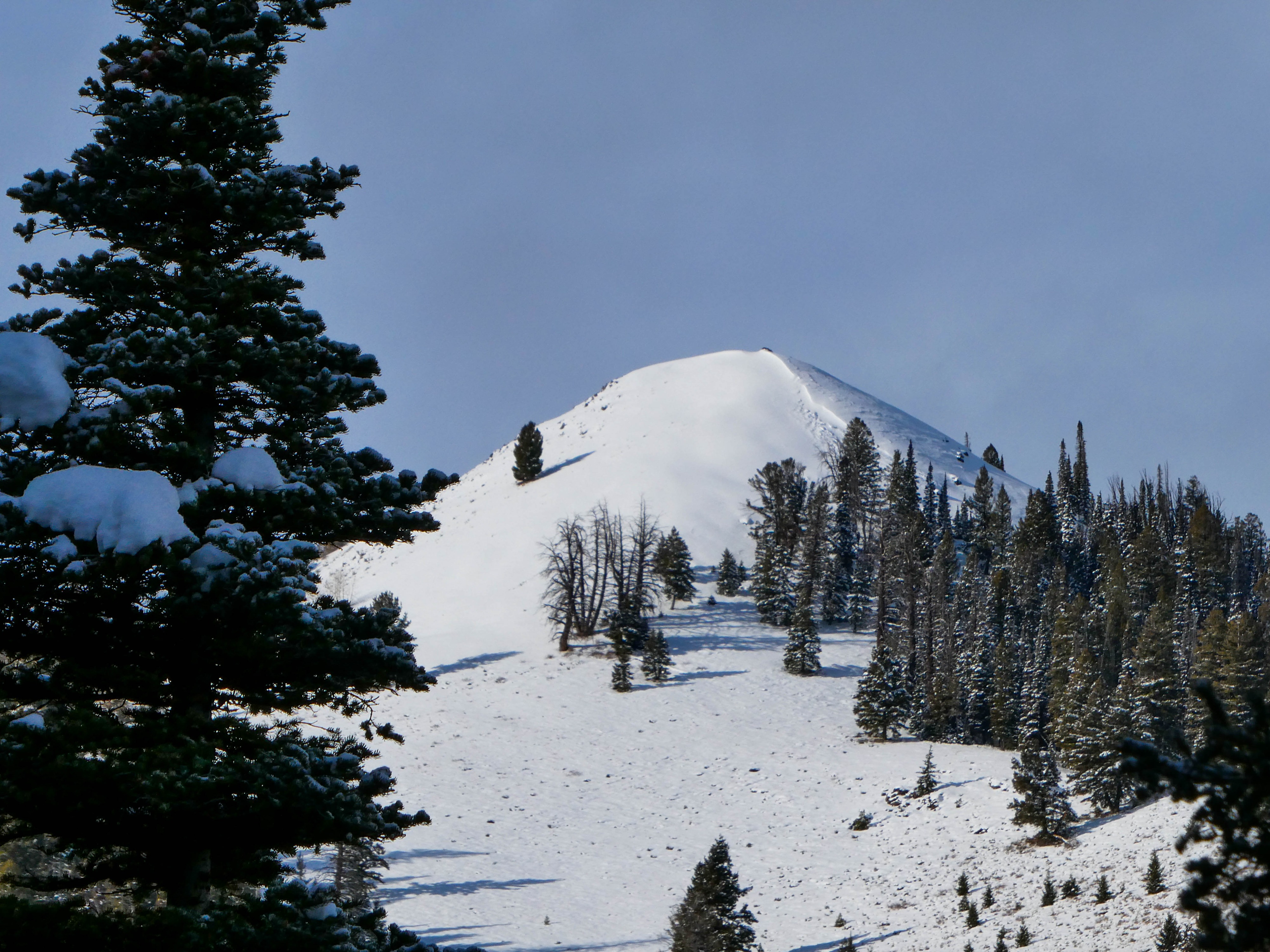
At 9400' on a ENE facing slope just below the summit knob of Butterfield, I spotted an old persistent slab avalanche with a crown roughly 55cm deep that likely ran at some point last week. In this same terrain there was obvious signs of past wind scouring and loading (see photo) but no evidence of recent transport or loading with our most recent snowfall.