
Quick report
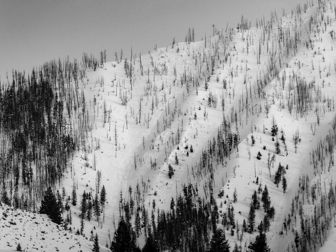
Two persistent slab problems warrant attention here, one near the base of the snowpack and one closer to the surface. Both have the potential to be triggered from a distance. Neither is likely to give warning signs like cracking or collapsing before releasing a slide. Warm sun and light wind will bring some wet avalanche activity here in the coming days, some of which have the potential to flank out or release as slabs.
No obvious signs of instability.Weather
- Air Temp
- near 30F
- Cloud Cover
- broken
- Wind Loading
- light
- Recent Snowfall
- Light snow, no accumulation.
- Snow Avail For Transport
- moderate amounts
Some sifting snow lee to W and SW wind. Short squalls with occasional breaks of blue. Mild temperatures at middle and lower elevation.
Snowpack
Surfaces:
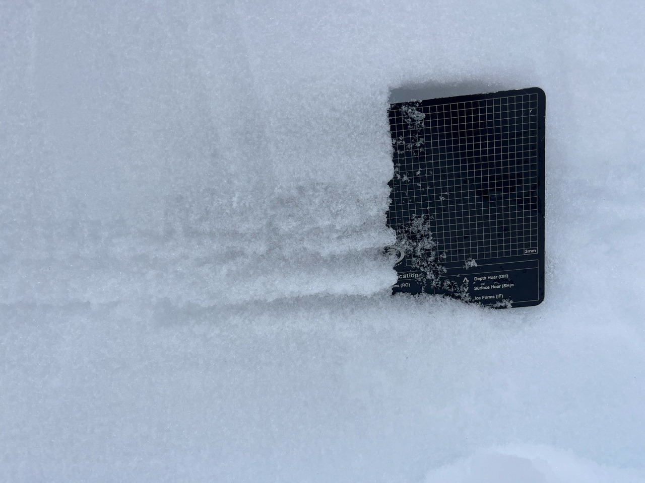
An impressive, thick melt-freeze crust capped middle and lower elevation sunnier slopes (see photo). My track was whirling shards of the crust through the air and face-shots were actively avoided. Adjacent shaded slopes had surface hoar and graupel.
(2/1):
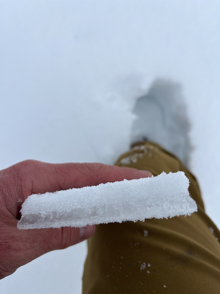
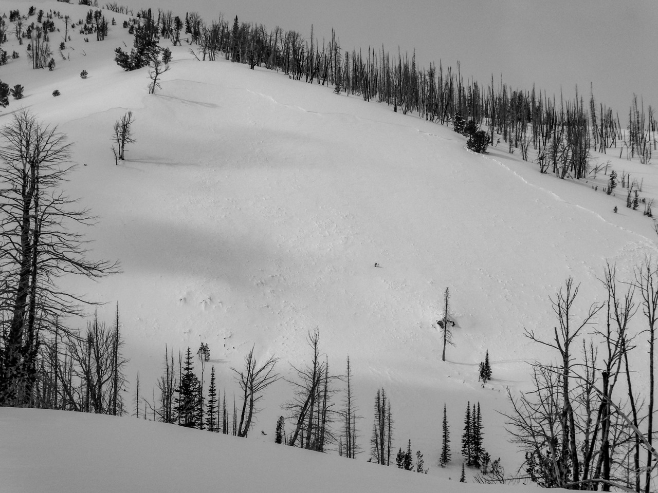
The 2/1 interface was 50-65 cm down, presenting as a melt-freeze crust (rain and sun) that's thickest on steep sunny slopes. I dug in two locations near the crown of the avalanche triggered here on 2/16, one near the top and one lower on the looker's left. The weak layer at the top was a series of thin ice layers separated by facets (see photo). The slide ran between the upper two crusts. The facets between the crusts were much better developed than in other locations I've seen. The pit lower down showed a more run-of-the-mill 2 cm crust with small facets above and below. The slide ran above this crust. An ECT adjacent to this pit returned ECTP21 below the crust. It's possible that the weak layer above the crust had already collapsed and sintered given my proximity to the crown.
(1/6):
In the same pit as above, this layer presented as a thick stack of facets with a softer 4F/4F+ interval. It's gaining strength here under ~100 cm of snow, but I doubt shallower snowpacks nearby are faring this well.
Avalanche
- Size
- D2
- Aspect
- NW
- Trigger
- N
- Elevation
- 8000 ft