
Quick report
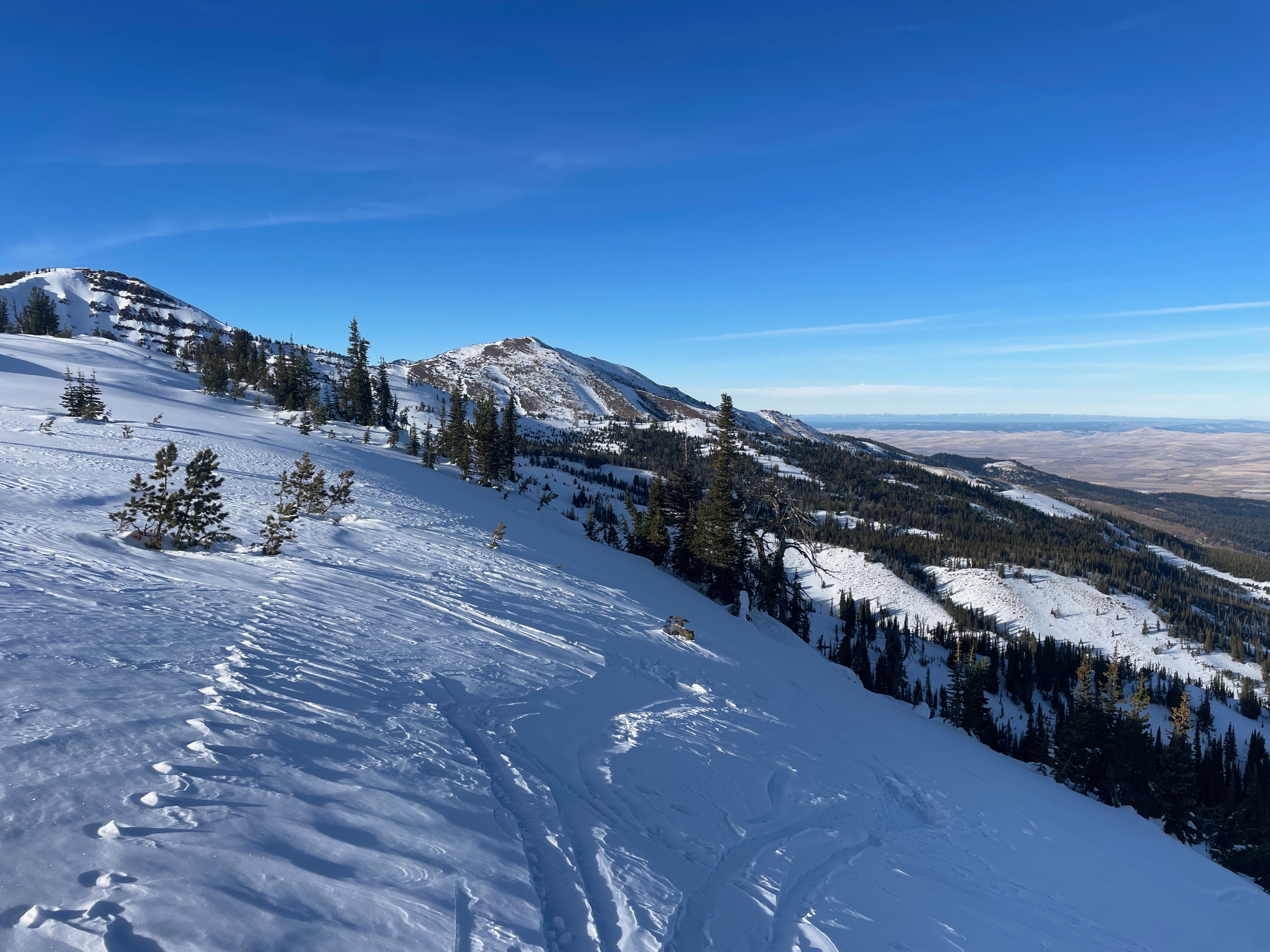
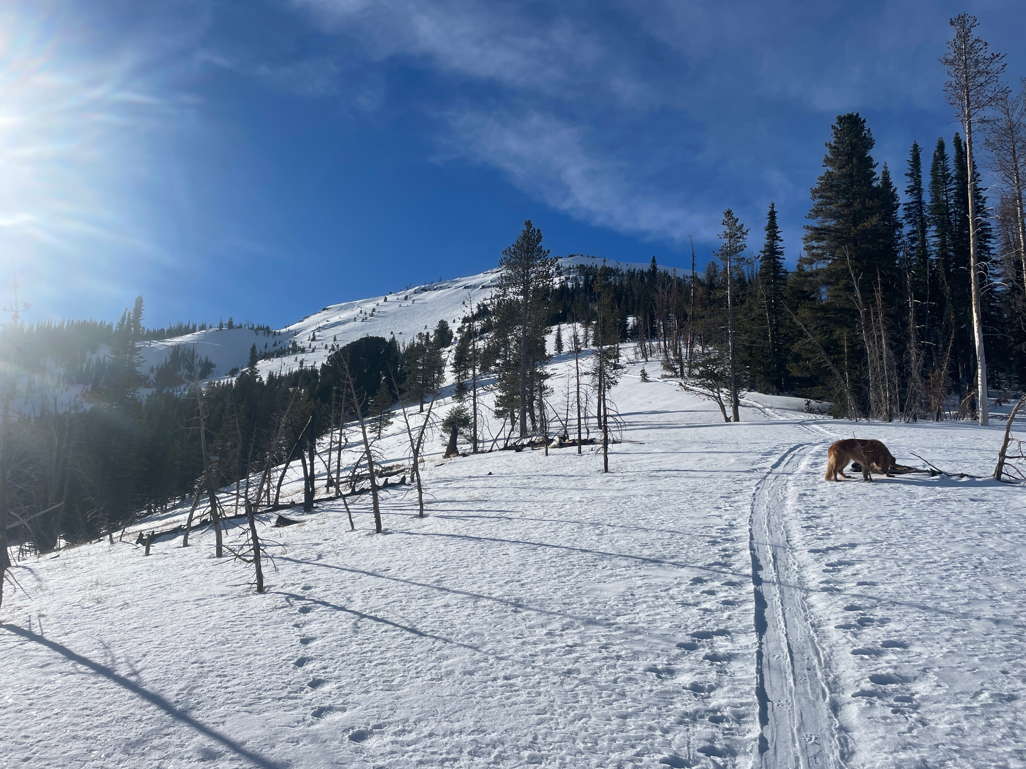
We have a good base across the Wallowas, especially once you make it above 7,000'. I was surprised with the coverage and the travel up Phat Ridge was smooth. The latest wind event scoured windward slopes in the alpine, which is typical for the Northern Wallowas. This is a great time of the year to identify the weak zones or trigger points in the popular ski terrain around Wing Ridge. These will eventually get filled in but remain the most likely spots to trigger an avalanche.
Surface hoar was widespread below 7,000' in standard valleys and drainages with higher humidity.
Weather
- Air Temp
- 0.5
- Cloud Cover
- few
- Wind Loading
- none
- Recent Snowfall
- 0
- Snow Avail For Transport
- moderate amounts
Beautiful day out in the mountains, with calm winds, few clouds and soft snow.
Snowpack
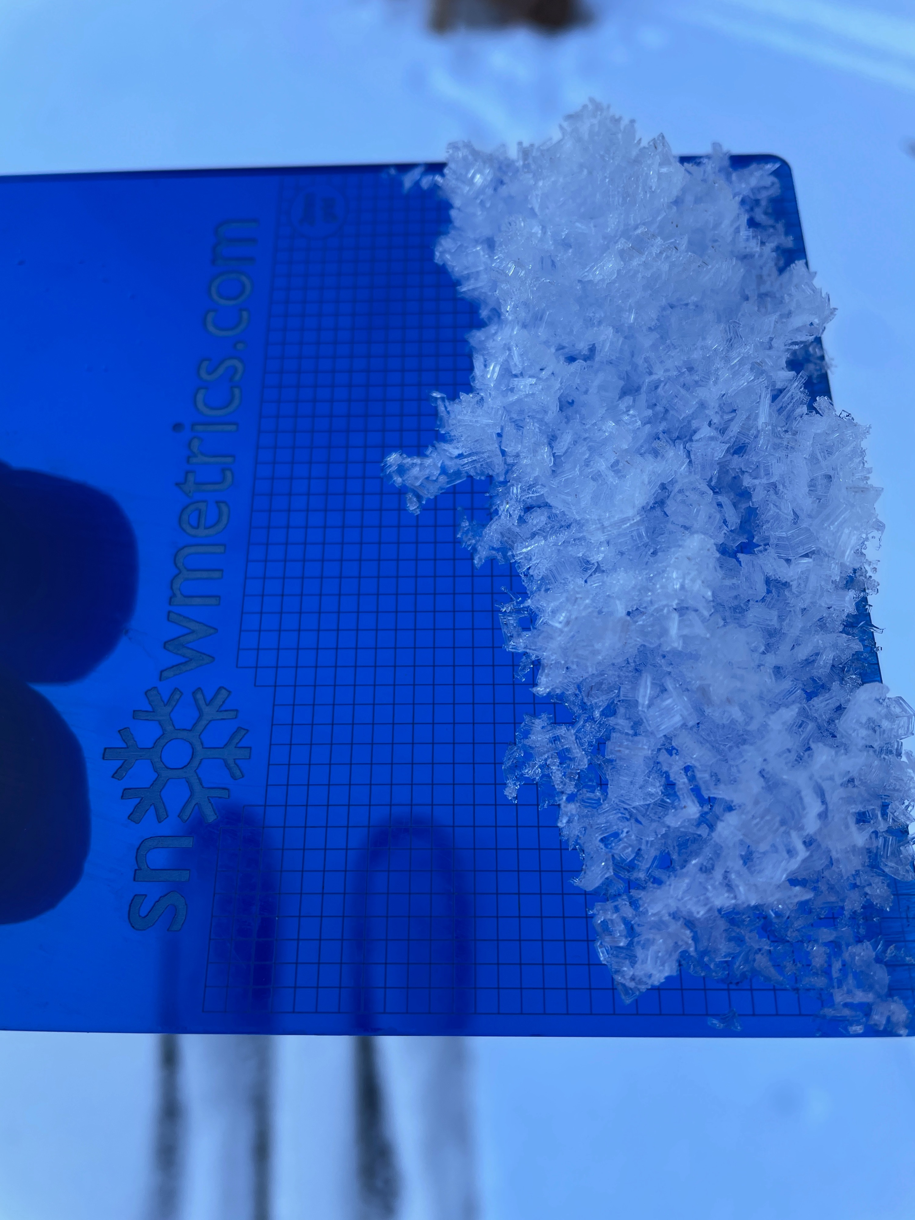
I dug a snowpit on an NE aspect at 8,300', just below the ridgeline. The snow height was 105 cm, or a little over 3'. My snowpack tests showed good stability and my only layer of concern was sugary (faceted) snow on the ground. This snow fell around the end of October/early November. Fortunately for the Northern Wallowas, this weak layer of snow is pretty thin, and won't be found at mid and lower elevations or on solar aspects (s-w facing slopes).