
Weather
- Cloud Cover
- overcast
- Wind Loading
- light
- Rain Elevation
- At least to 8200'
- Recent Snowfall
- 5
- Snow Avail For Transport
- moderate amounts
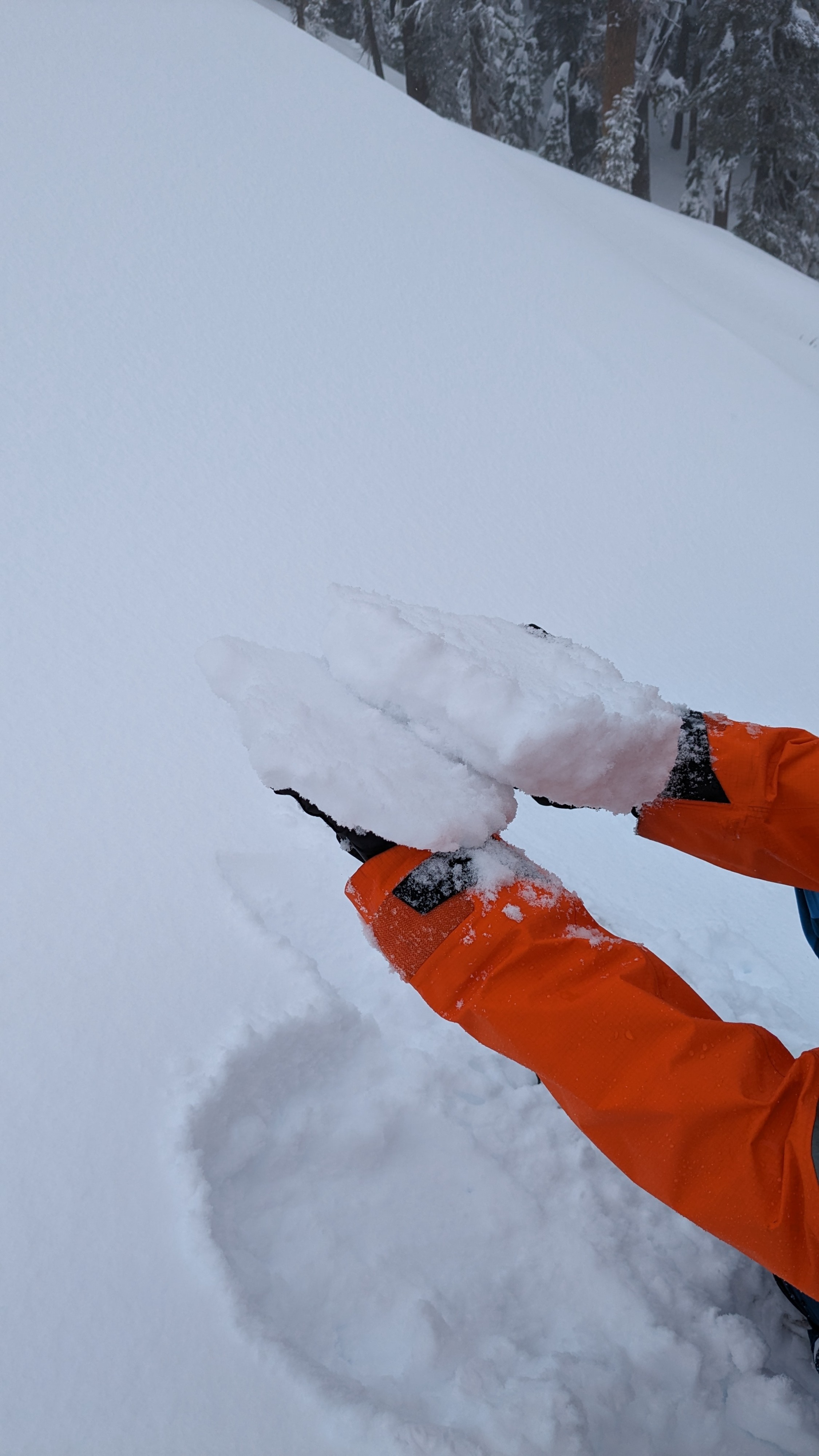
Full cloud cover with increased snow intensity this morning. By late morning, snow intensity decreased and turned to rain at around 11am. Rain levels were up to at least 8200' at our high point of travel. SW winds were mostly light along Andesite Peak.
Snowpack
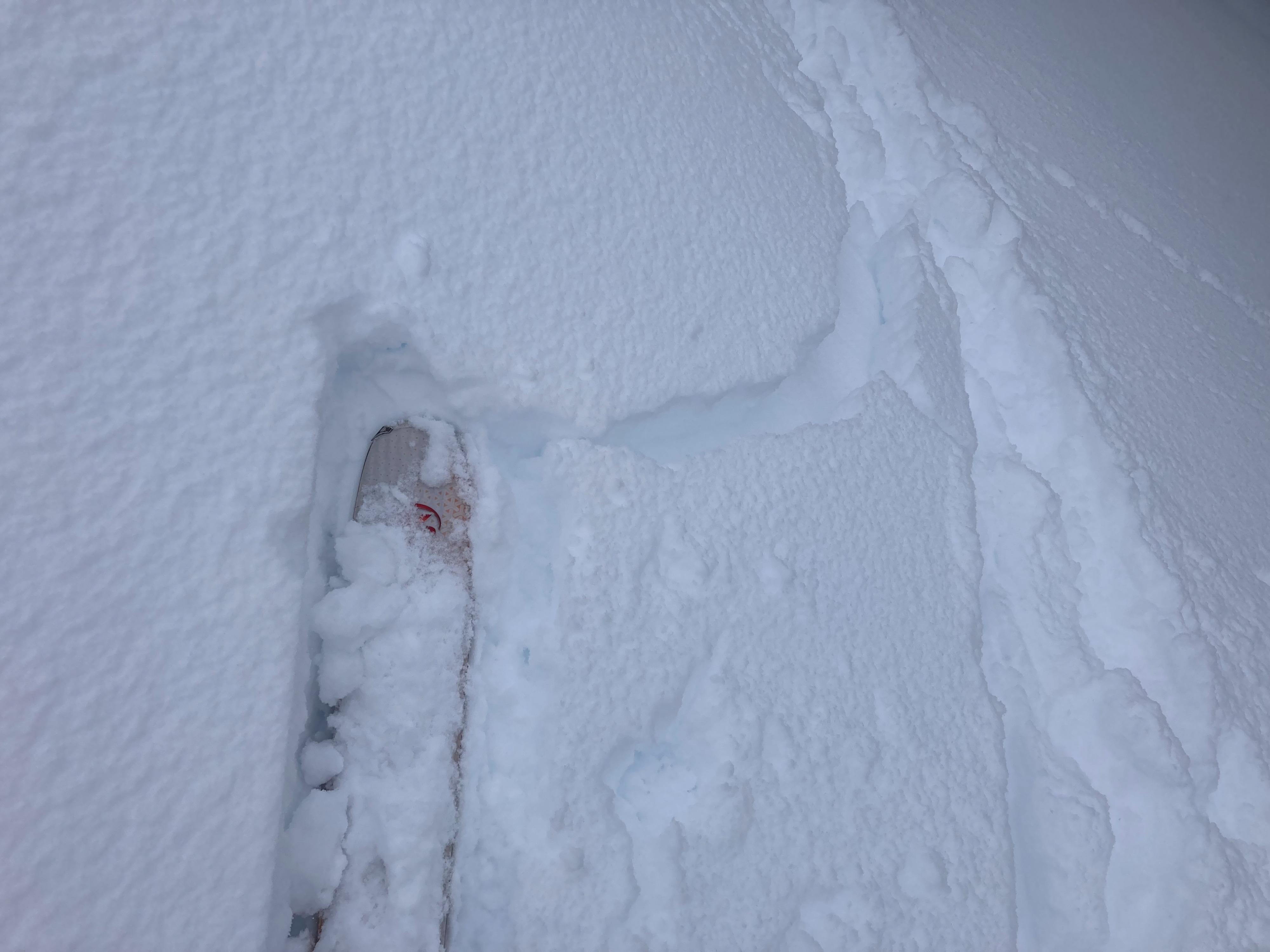
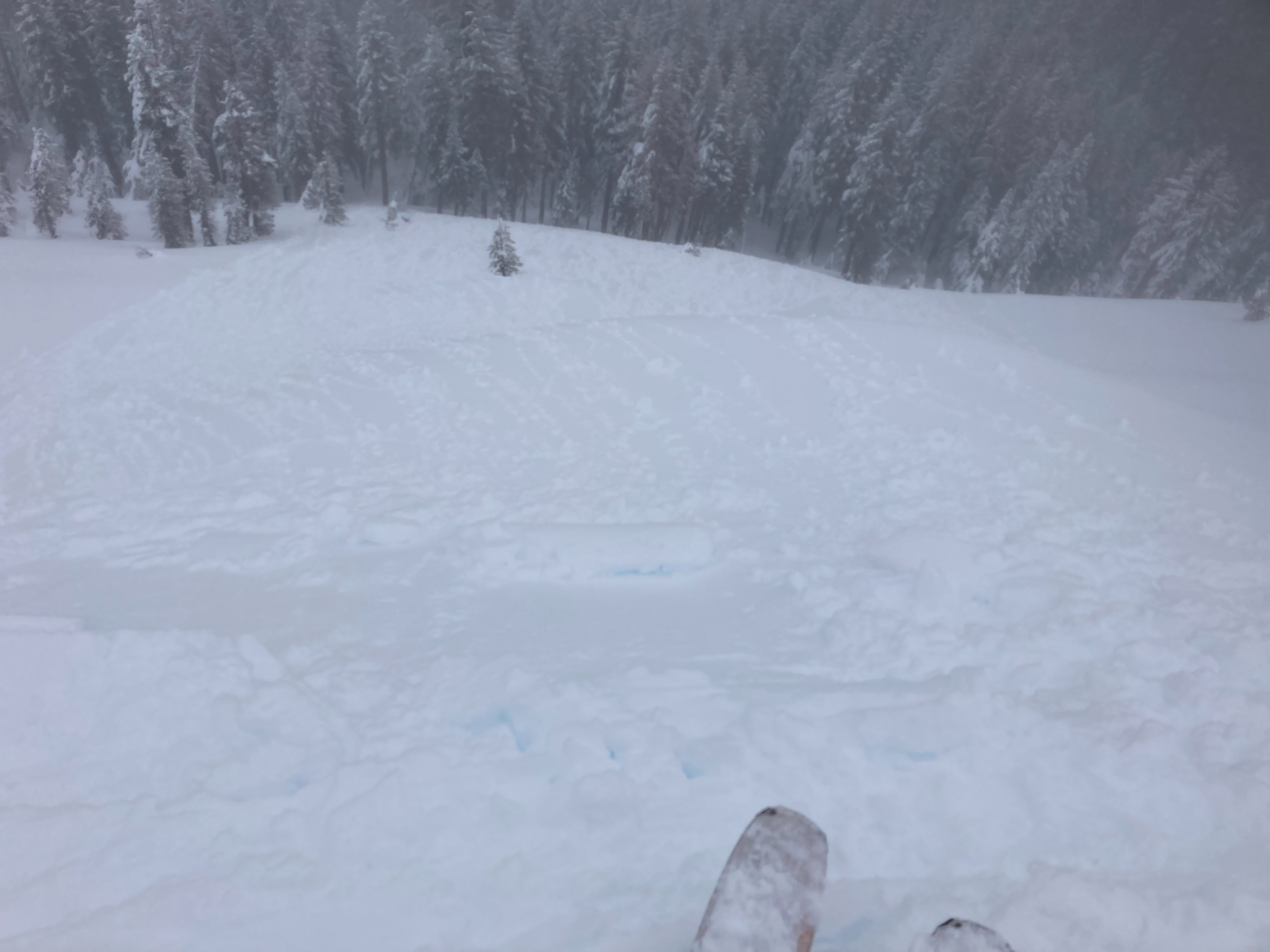
We toured the Andesite Peak area today to monitor the new snow loading and old snow surfaces. Surface hoar has been widely reported throughout the forecast region and we were able to find it here on top of a rain crust and recently buried under 1-2'' of new storm snow. Additional snow is forecasted for tonight and into tomorrow potentially further burying this layer. Snow turned to rain late morning up to at least 8200'- it is unclear how much of this surface hoar will be destroyed from this rain at the lower elevations. The rain crust that the surface hoar sits on, the Jan 24 rain crust, will need to be monitored for some weaknesses found below the crust as well. Blowing snow and signs of previous wind transport was very limited with light SW winds observed up to the top of Andesite Peak. The rain on snow made for sticky and slow travel conditions and small superficial roller balls on the snow surface.