
Quick report
- Cracking
- Observed
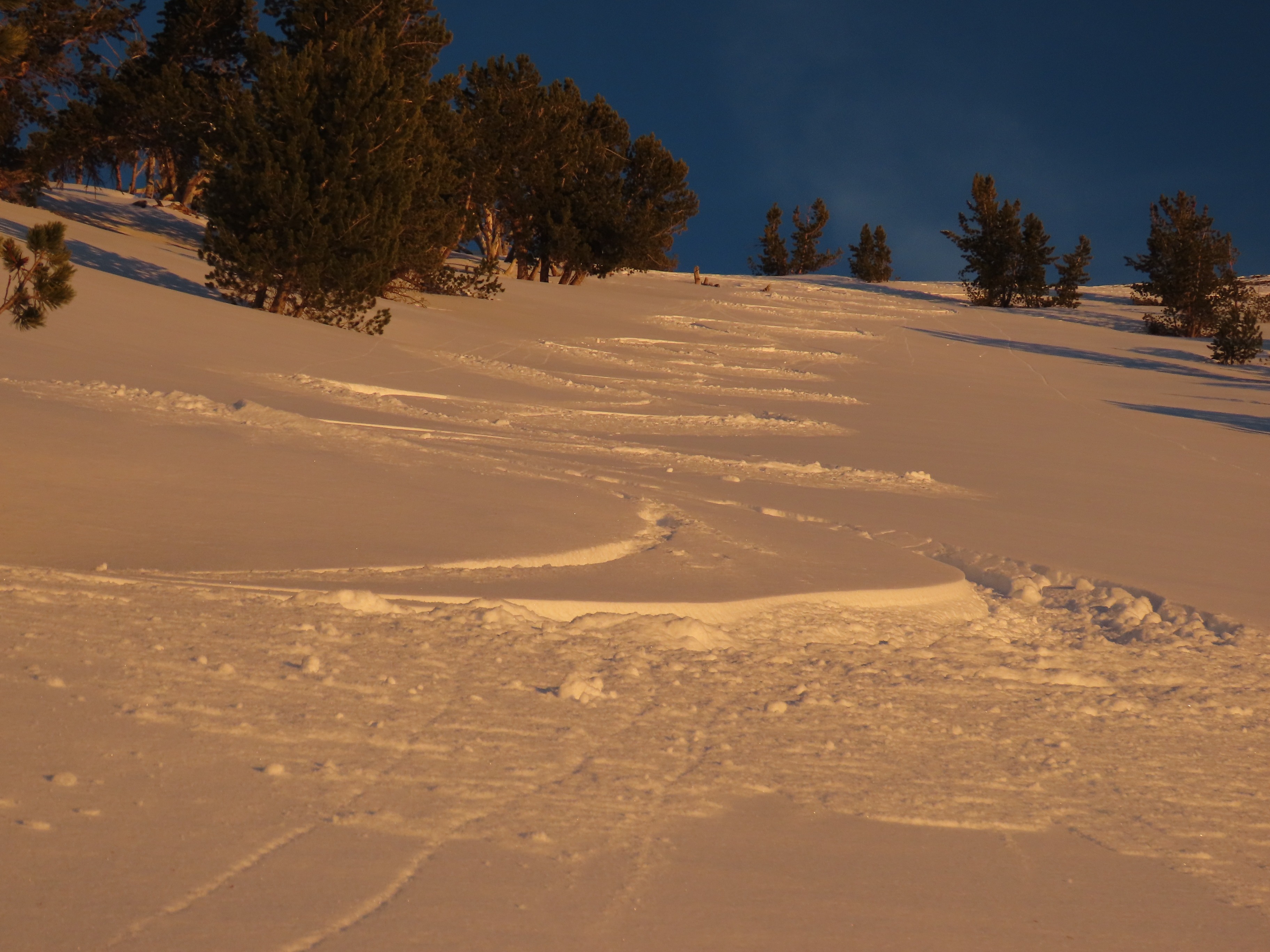
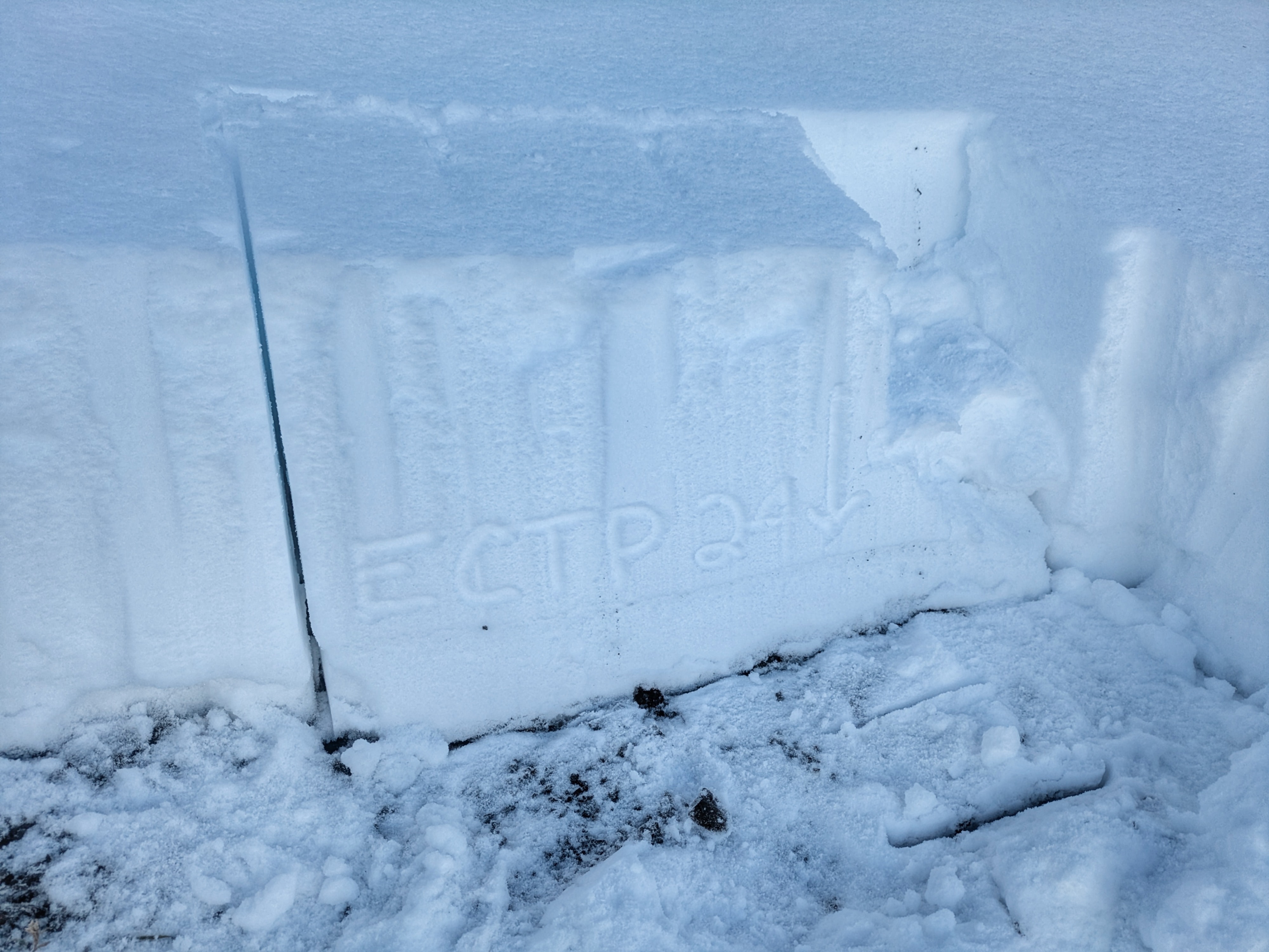
I found a thinner, weaker snowpack here than the one I found the previous day in the Western Smokys. This aligned with my expectations based on weather patterns and my direct snowpack observations prior to and during the recent storm. Storm snow from this weekend came in two pulses, a wetter bit on Saturday and a drier bit overnight Saturday into Sunday. Total storm accumulation was in the 30-35cm range by 8,500', with just 5-8cm of wet slop on the valley floor. The snow wasn't doing quite as good a job of blanketing the landscape as it was in the W Smokys, but the new snow did have a bit of internal cohesion, particularly in the lower interval, and was skiable/travelable even in areas without much old snow underneath. Storm snow graded from F- at the top to 4F at the base. Today was significantly warmer than the previous day and the melting was more pronounced. Crusts formed on a wider array of aspects than the previous day. We are still a decent ways from completely melting off the solars, but there is a lot of sage pushing throughthe crusty snow. I dug a pit on a NE aspect at 9,700' to look at the interface between the new and old snow (the "10/25", our first widespread layer of the season). I found small, dry facets at this interface, sitting on top of a 1-2cm thick crust. The lower portion of the old snow (below the facets and crust) is moist and well connected to the ground, though there is a bit of faceting occurring immediately underneath this crust as well. Overall, this interface isn't particularly confidence-inspiring, but I have seen much worse in these mountains. I performed two ECTs in this pit, both of which produced propagating fractures with hard force involving the small facets on the crust (ECTP 24 x 2). Interestingly, in both tests, this propagation occurred concurrently with non-propagating failures underneath the crust. I stomped on a number of wind-loaded areas in upper elevation terrain with well-preserved older snow underneath which produced a few little cracks but no other movement/sign of instability. With that said, I had no interest in encountering a stiff wind slab sitting on the 10/25 interface on a steep slope. With a drought in the forecast, I'd expect a snowpack that looks like this to deteriorate more quickly than the one I observed in the W Smokys the previous day. I had good visibility and did not observe any recent avalanches. I experienced some very minor cracking in small wind drifts near a ridgeline.
Weather
Sunny all day, much warmer than Monday. Calm to light westerly winds.