
Horse Creek and Western Home Gulch
Quick report
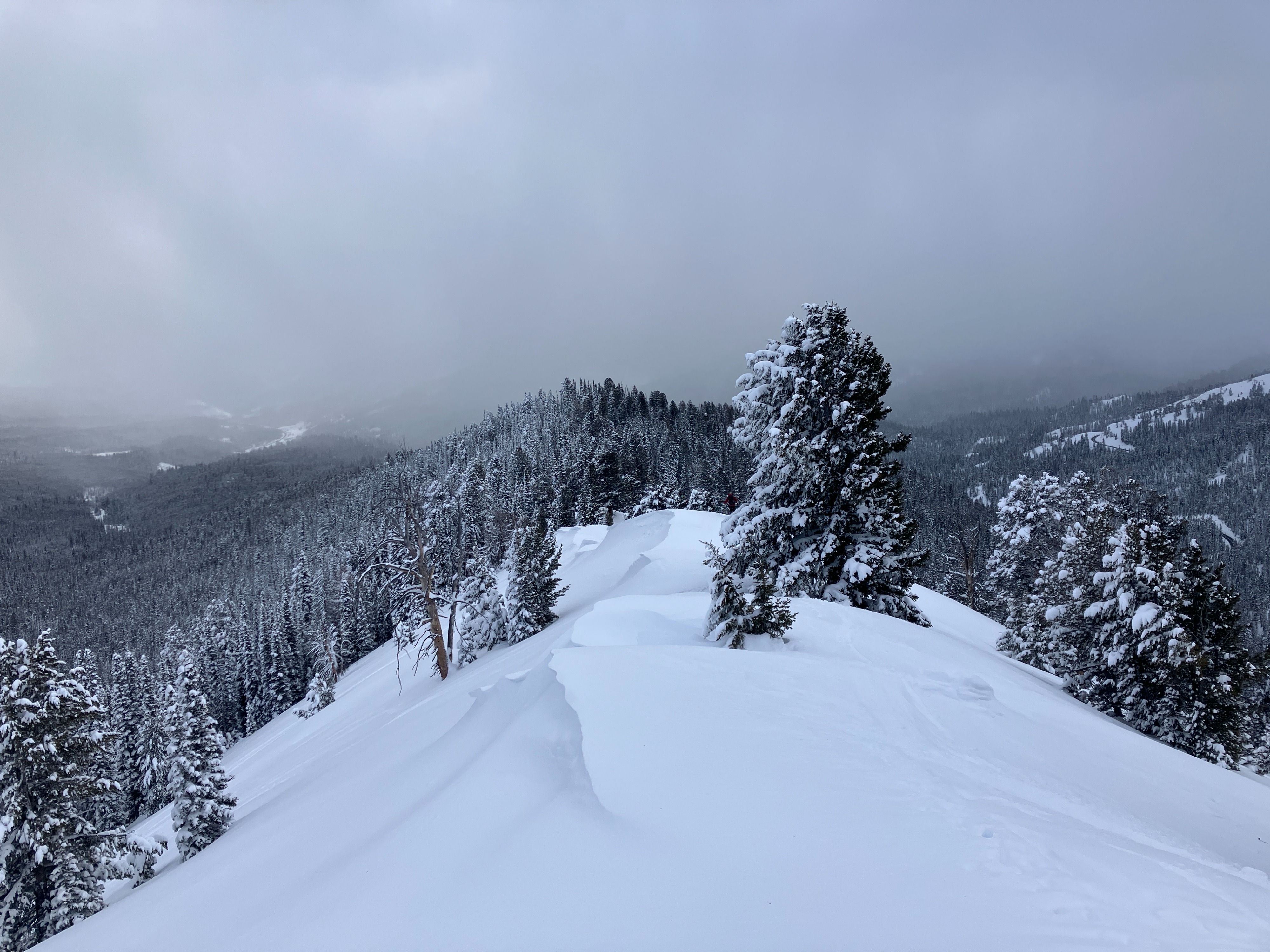
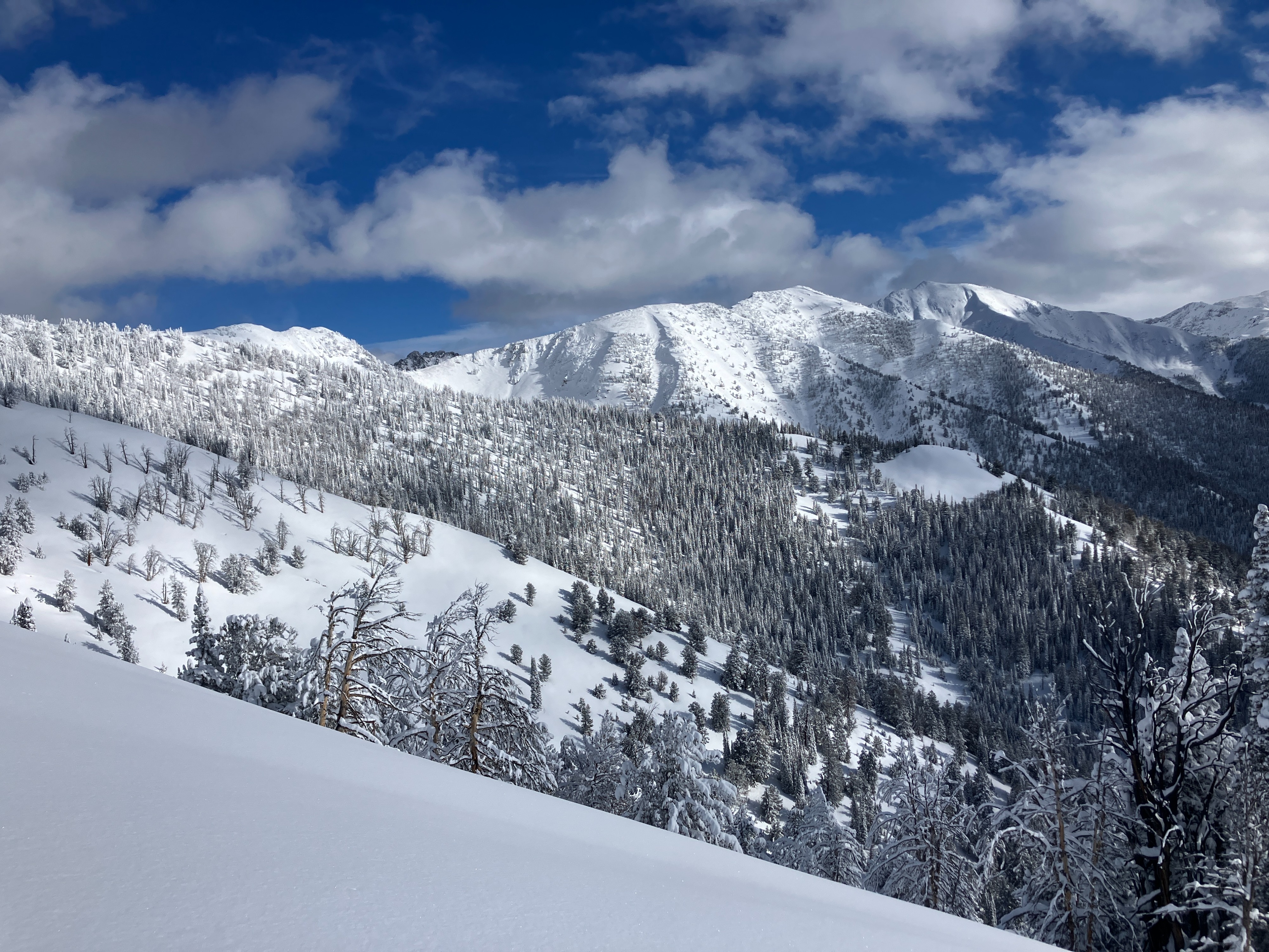
Great wiggling and giggling today in the 1-2 feet of settled powder snow above the Jan 1 consolidated surface. We felt comfortable skiing slopes ~35* in sheltered terrain. By the time the clouds rolled back in, solar slopes had formed thin sun skins in the topmost few inches of the snowpack. No avalanches were observed.
No obvious signs of instability observed. Localized cracking (<1m) was isolated to directly stomping on cornices on test slopes at ridgetop.Weather
- Cloud Cover
- scattered
- Wind Loading
- previous
- Snow Avail For Transport
- small smounts
Overcast in the morning then clearing around 1230pm before the clouds built again around 230pm. Light winds decreased throughout the day. Snowing S-1 when we left the pullout this afternoon.
Snowpack
40-60cm HST over the Jan 1 interface. That interface seems to present as either a crust (below 8500') or a temperature-driven consolidated layer (nearing and above 9k'). No planar shears noted in hand pits throughout the day on this or (any other) interface. We also noticed a thin ~10cm layer of more consolidated snow sitting ~10cm above the Jan 1st interface on solar aspects where we travelled today. By 2pm, slopes receiving direct solar input below 8500' were beginning to form a 5cm thick consolidated skin on the surface.