
Quick report
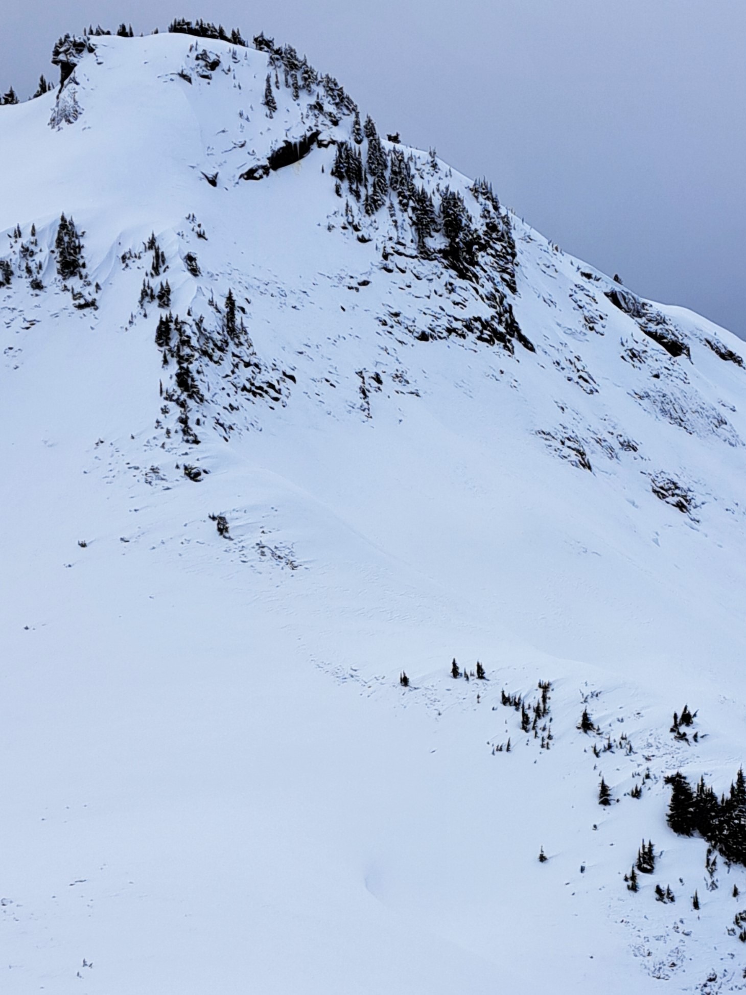
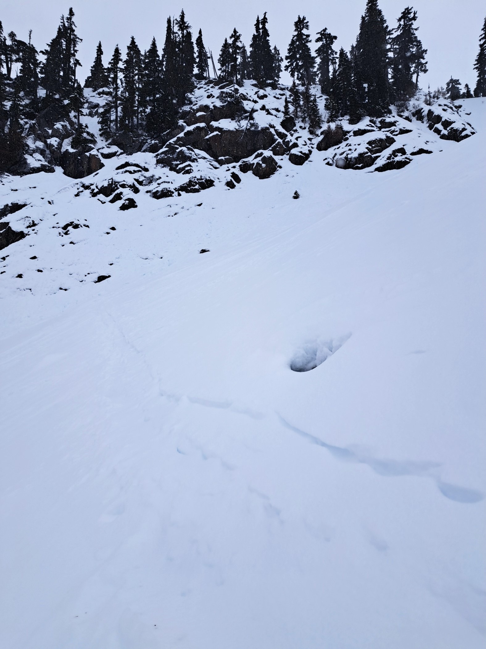
No avalanche danger found - could move freely through the terrain. Low snow cover and crusty travel conditions were the biggest hazards. Other areas may have seen higher wind speeds, slab development, etc, but it wasn't in the Baker BC this morning. Small slabs possibly developing up high by the afternoon. Between strong winds on Jan 1 and warming on Dec 31 there just wasn't much snow available for transport on windward aspects.
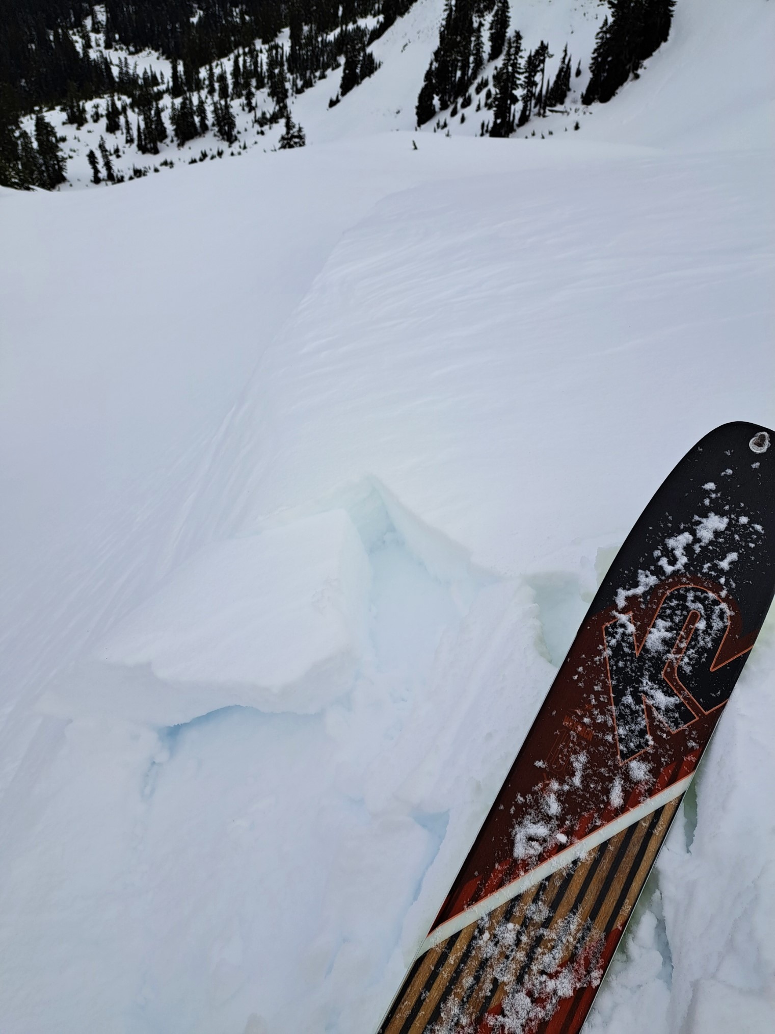
The only instability was localized cracking in wind-drifted snow. Testing on small cornices and steep breakover features produced small blocks of wind slab up to 20cm deep that released on a layer of softer snow above the crust - no propagation observed.Weather
- Cloud Cover
- overcast
- Wind Loading
- light
- Rain Elevation
- 3500'
- Recent Snowfall
- Trace
- Snow Avail For Transport
- small smounts
Overcast but good visibility and calm to start the day with clouds filling in and dropping through the morning. Light snow starting at 10:30 and steady moderate winds from the east at Herman Saddle at noon. Minor wind transport with small drifts forming right below ridgeline.
Snowpack
Up to 10cm dry snow over 12/30 melt-freeze crust. Solar aspects held mostly supportable sun crust. Near-surface facets (1.0mm) were found on all aspects at and above 5000'. This surface layer is likely getting buried by new snow, except in terrain where surface facets were scoured out by increasing winds today.
Minimal wind slab formation from strong winds on Jan 1. Tiny slabs up to 20cm thick in a few places but generally much thinner. The crust below the new snow is 10cm thick and frozen. Alternating layers of P to K hard, moist crusts, melt forms and rounds down the next 100cm of snowpit at 5200' on an NW aspect. Small-column testing produced no results. HS at 5000' 100-200cm.