
Quick report
- Cracking
- specific
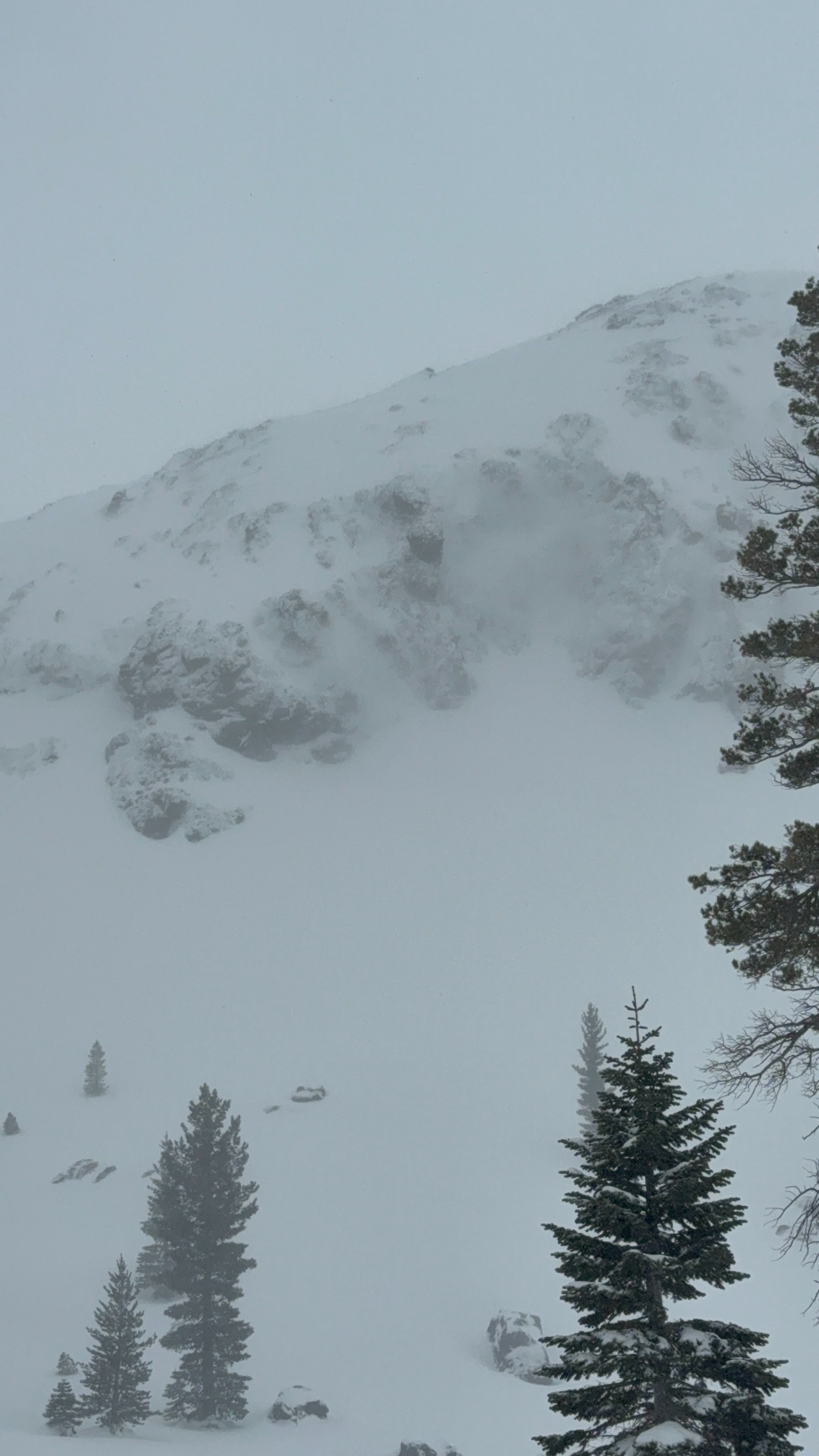
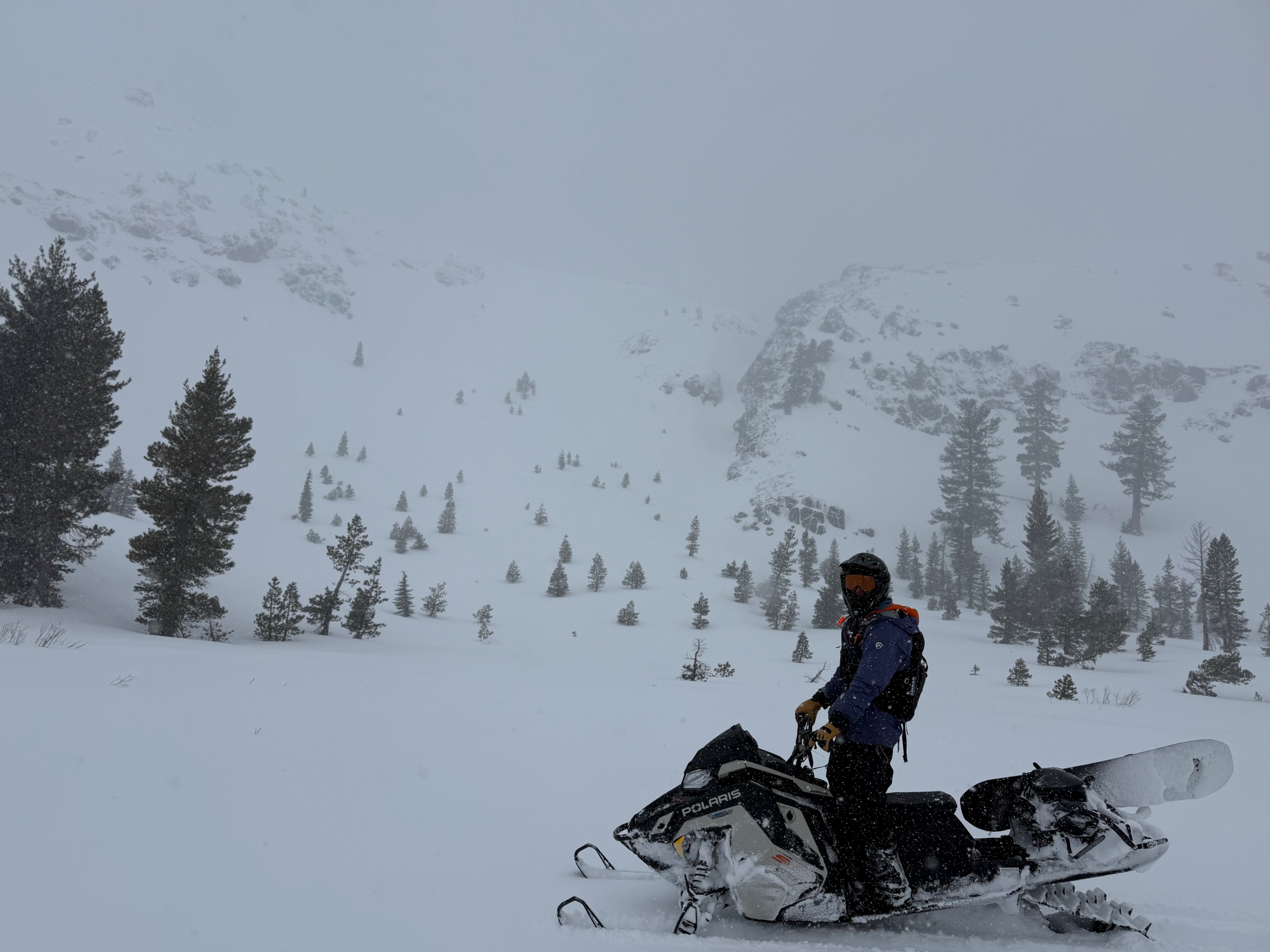
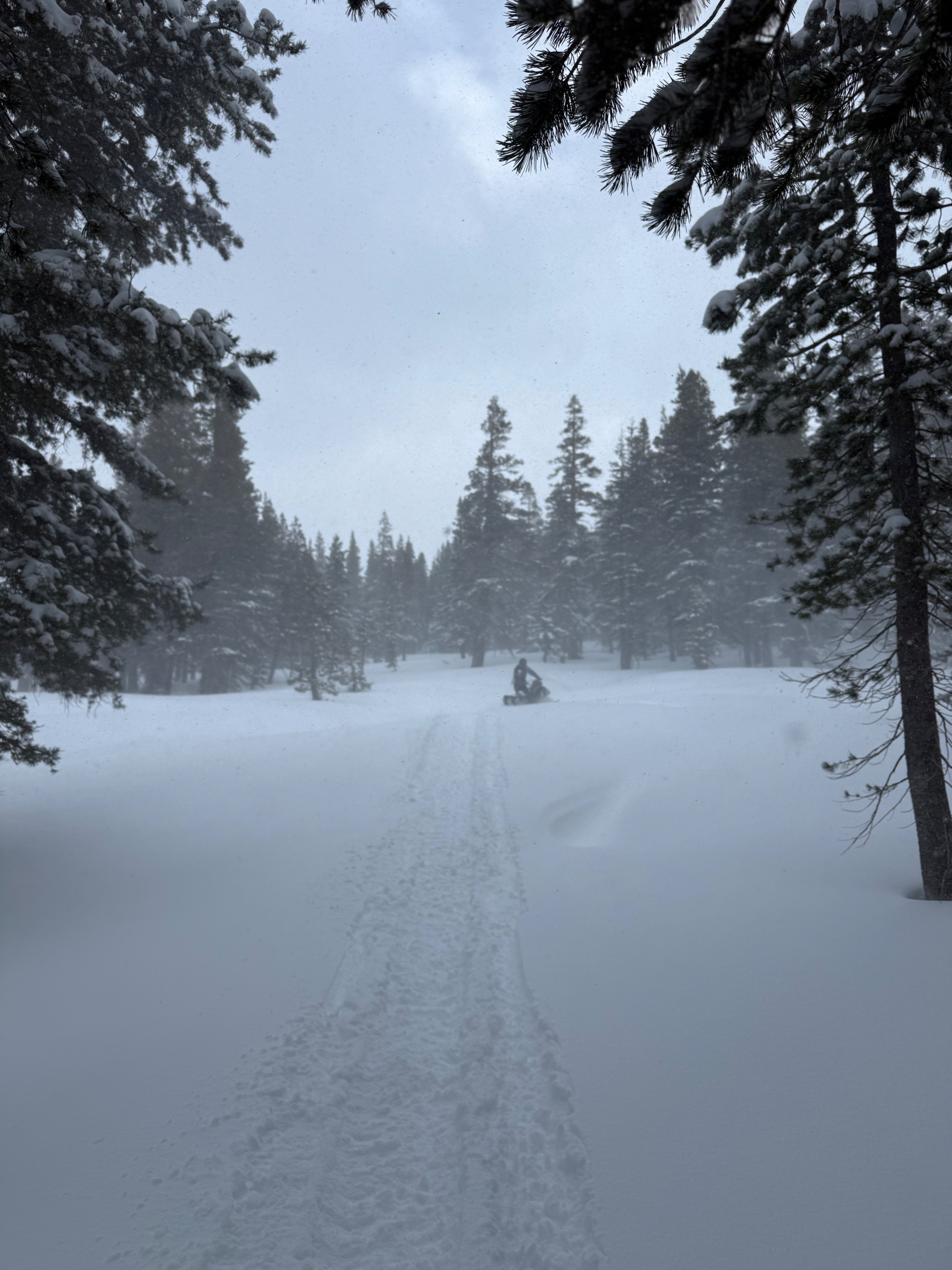
We went to blue lakes to observe the new snow and wind slab development. The storm was still producing preceipitation (S1), temps below freezing and increasing wind speeds throughout the day. The new snow was an average of 20cm (8 inches), with the deepest wind deposits of 60cm. There was blowing snow and observed wind loading on leeward/ crossloaded slopes. Most of the alpine terrain had low visibility. The new snow has covered most features and was appealing to ride. All the same, it was still possible to hit the bottom and proved shallow. Open creek holes and liquid water were constant.
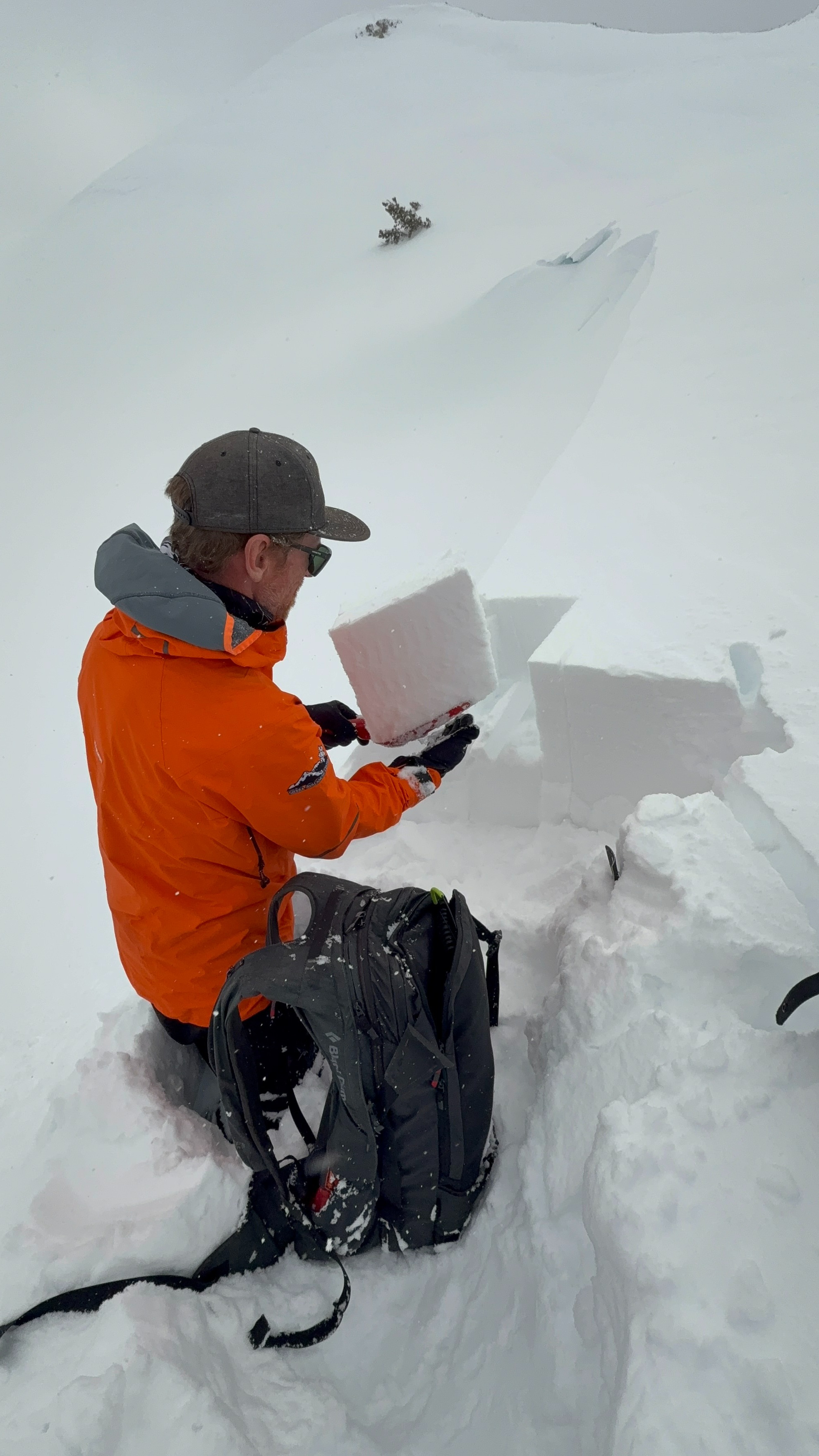
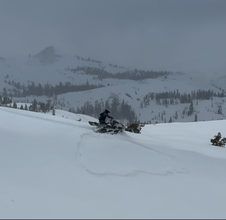
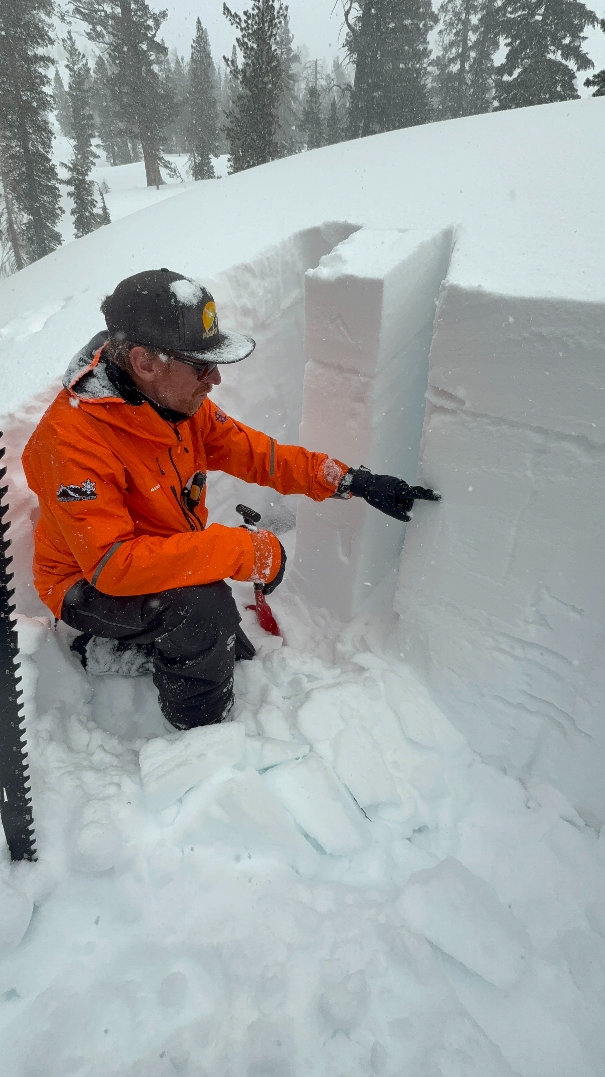
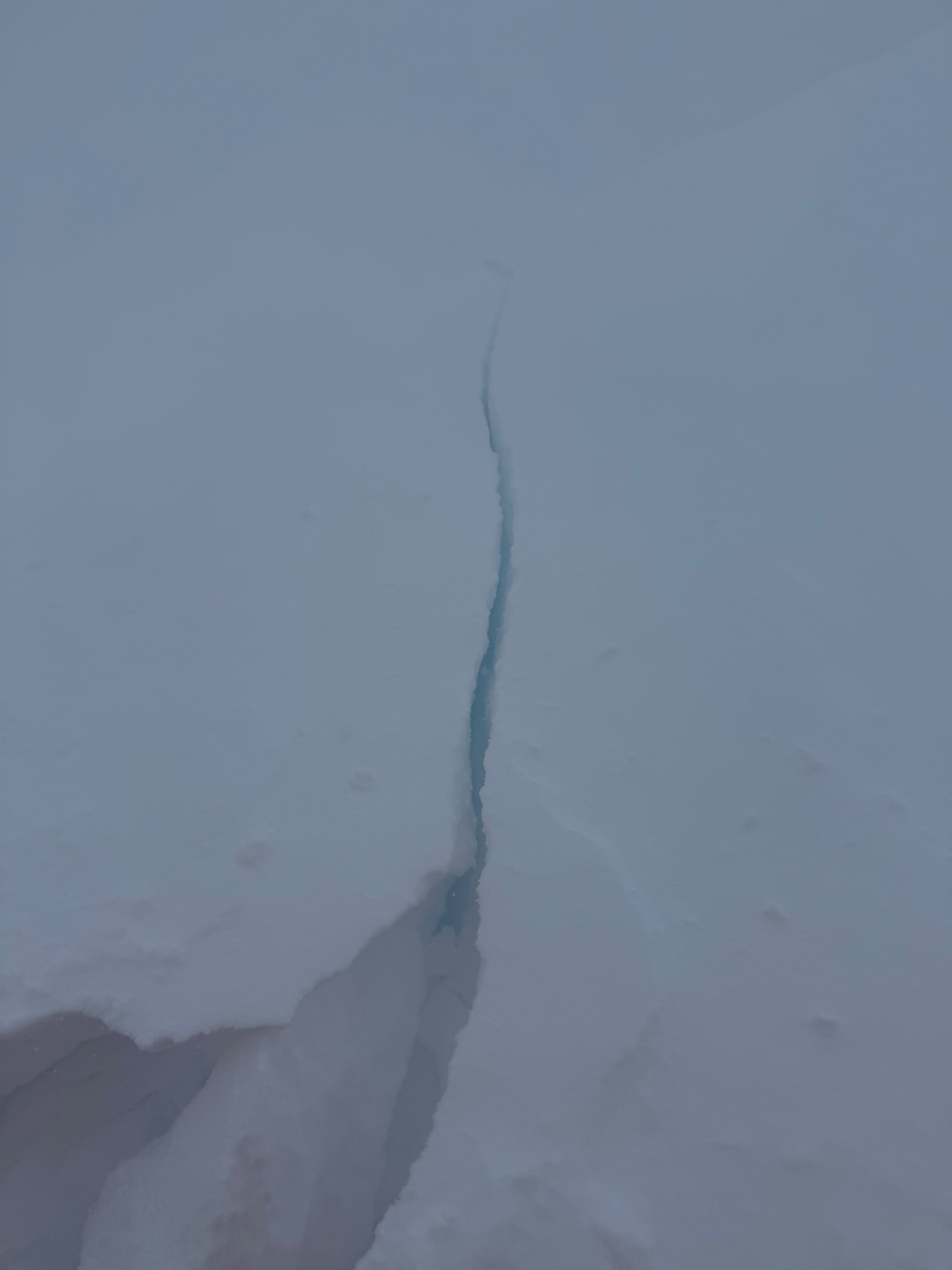
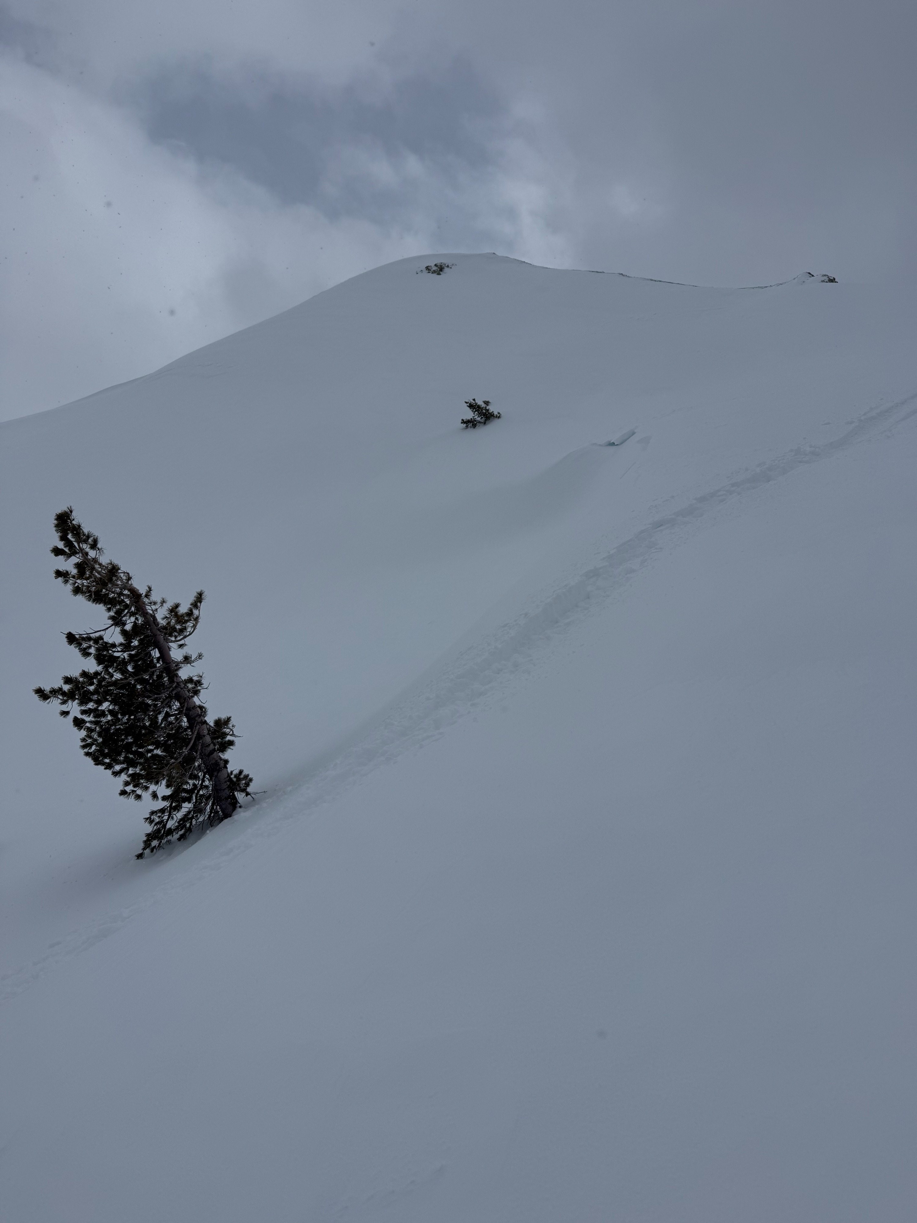
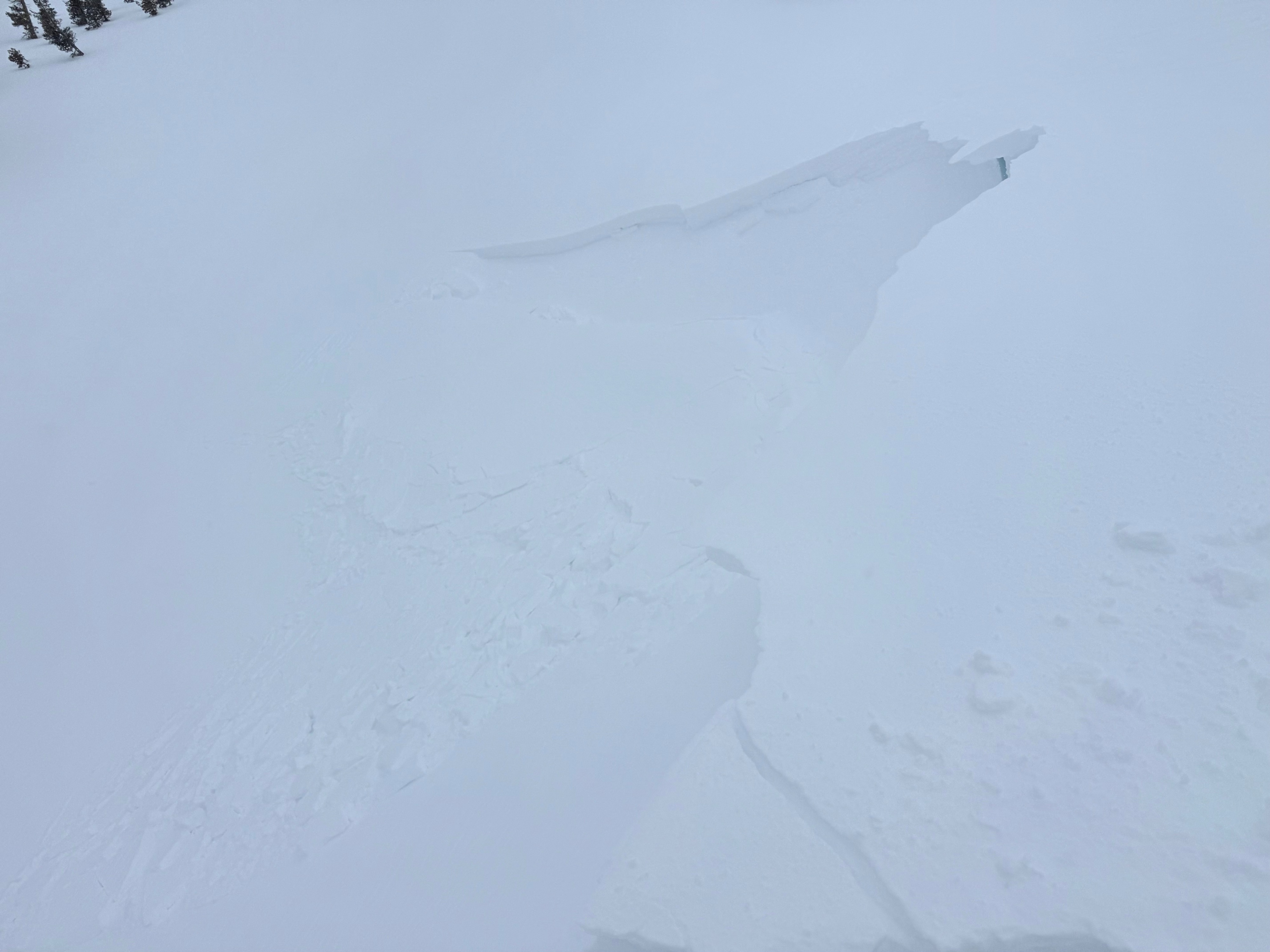
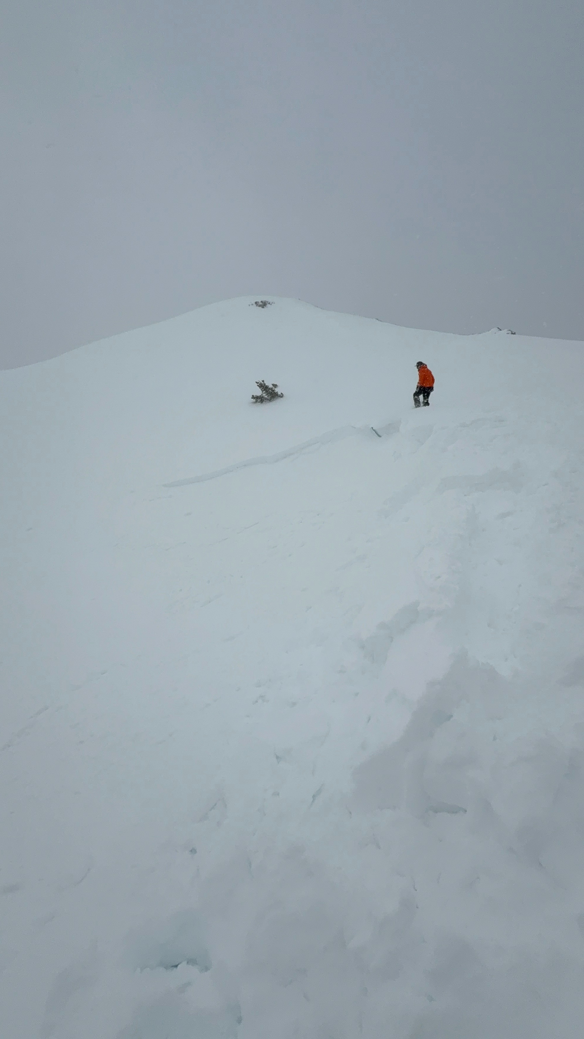
We dug multiple pits. We found a 10-20cm soft wind slab that was reactive to test slopes and touchy in pit tests (See pics/videos). We dug a formal pit at 8,200' on a north facing slope that showed instabilites at the new snow/ old snow interface. This location was the coldest and driest snow we could find, and still maintained a 2cm melt freeze crust below the new snow. The long term concern is the buried Near Surface Facets (1mm) within the midpack. Short term, ECT's did not show propragation nor did we see signs of large destructive avalanches. In our pit location, the new now seemed too unconsolidate to provide a worrisome slab. However, wind loaded areas showed different cohesion and reactivity. All notable results were human triggered, 4 finger soft wind slab (4-12'' deep) within the new snow. The terrain observations matched the forecast, dry loose and wind slabs.
We intentionally triggered multiple wind slabs today. All of them were touchy and easy to trigger.Weather
- Cloud Cover
- obscured
- Wind Loading
- moderate
- Recent Snowfall
- 20cm
- Snow Avail For Transport
- large amounts
Wintery weather with mostly overcast skies and light to moderate snowfall throughout the day. Winds were light to moderate with strong gusts out of the SW. In late afteronoon wind speed increased at lower elevations.