
Quick report
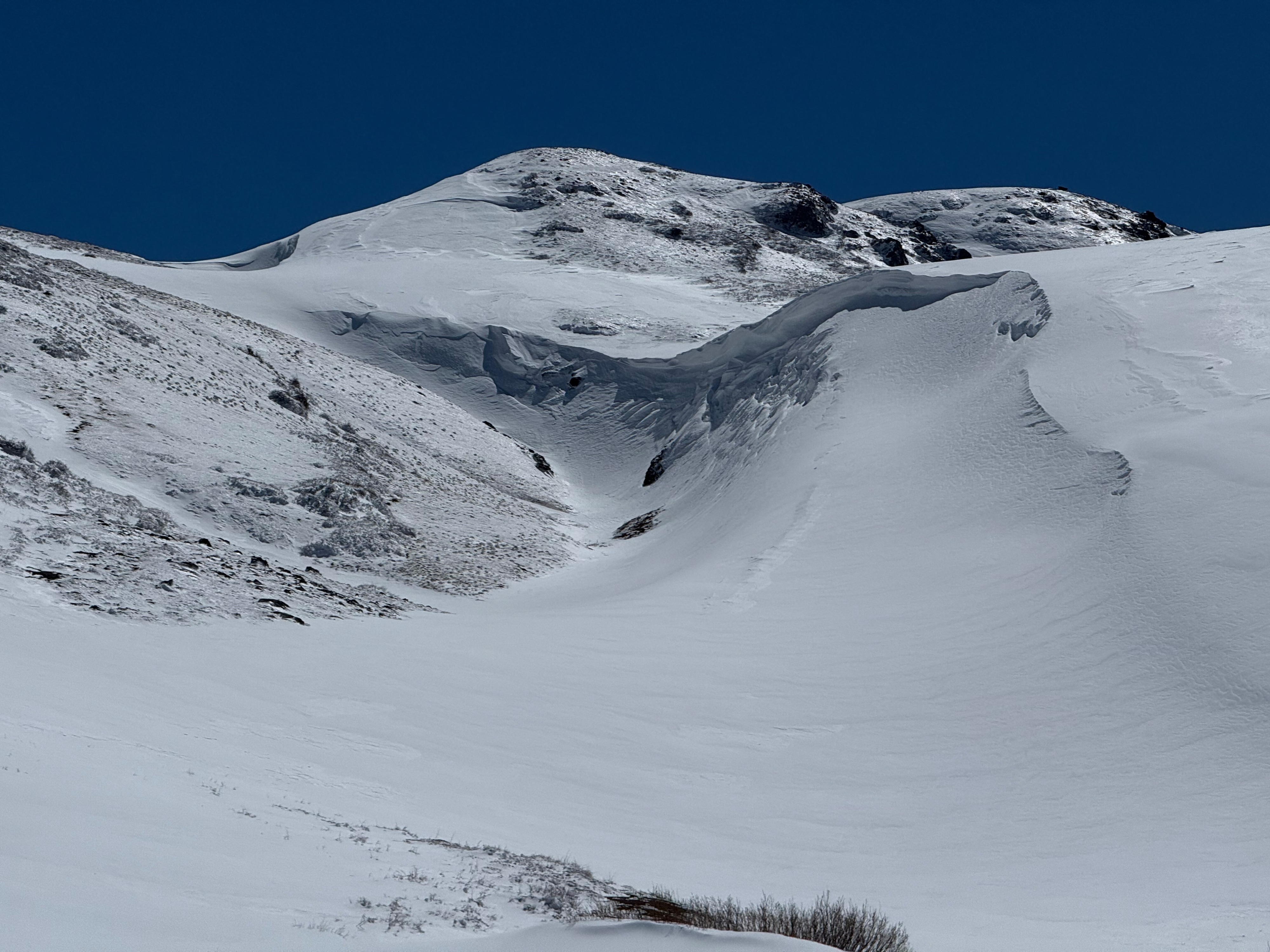
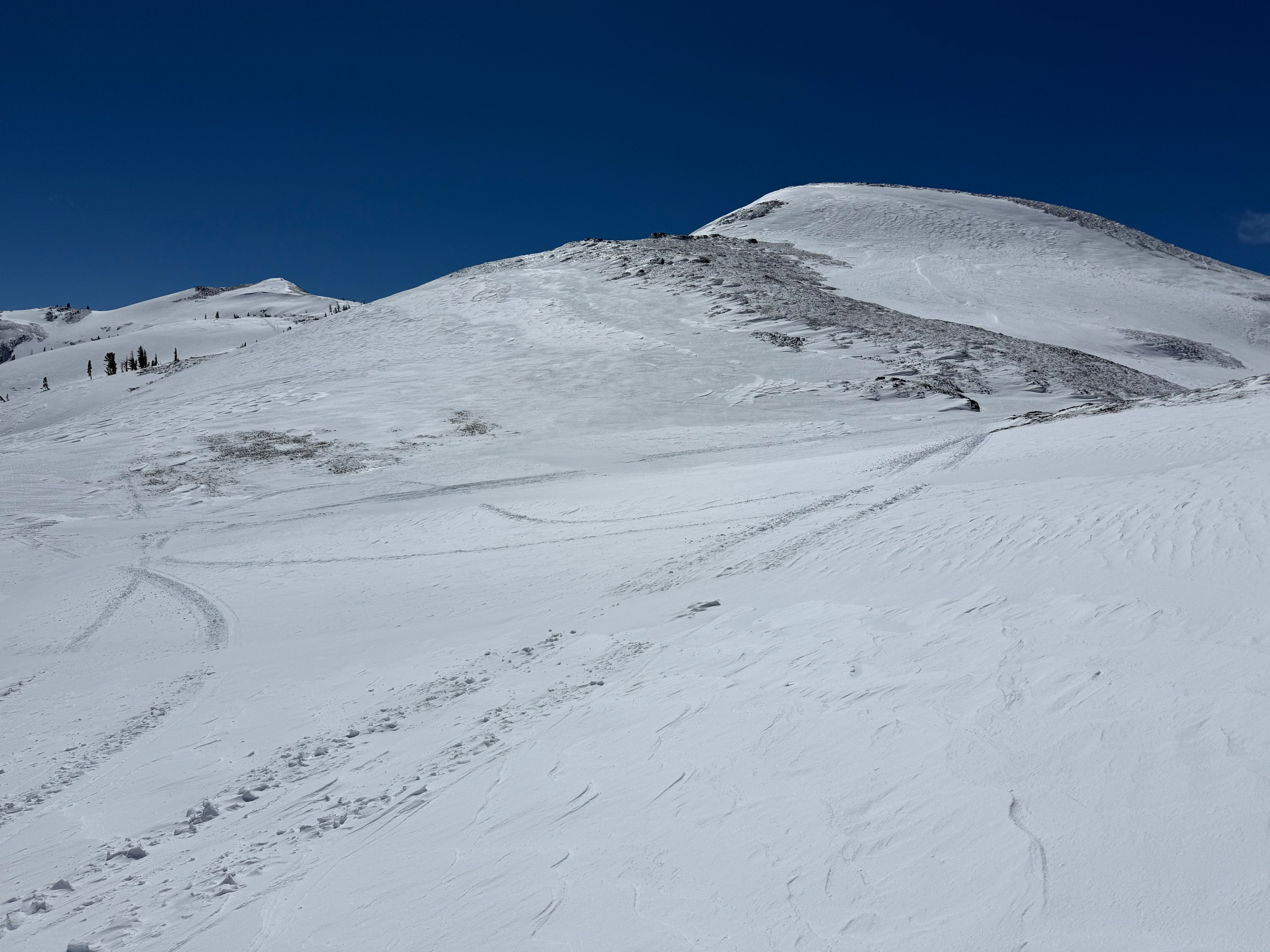
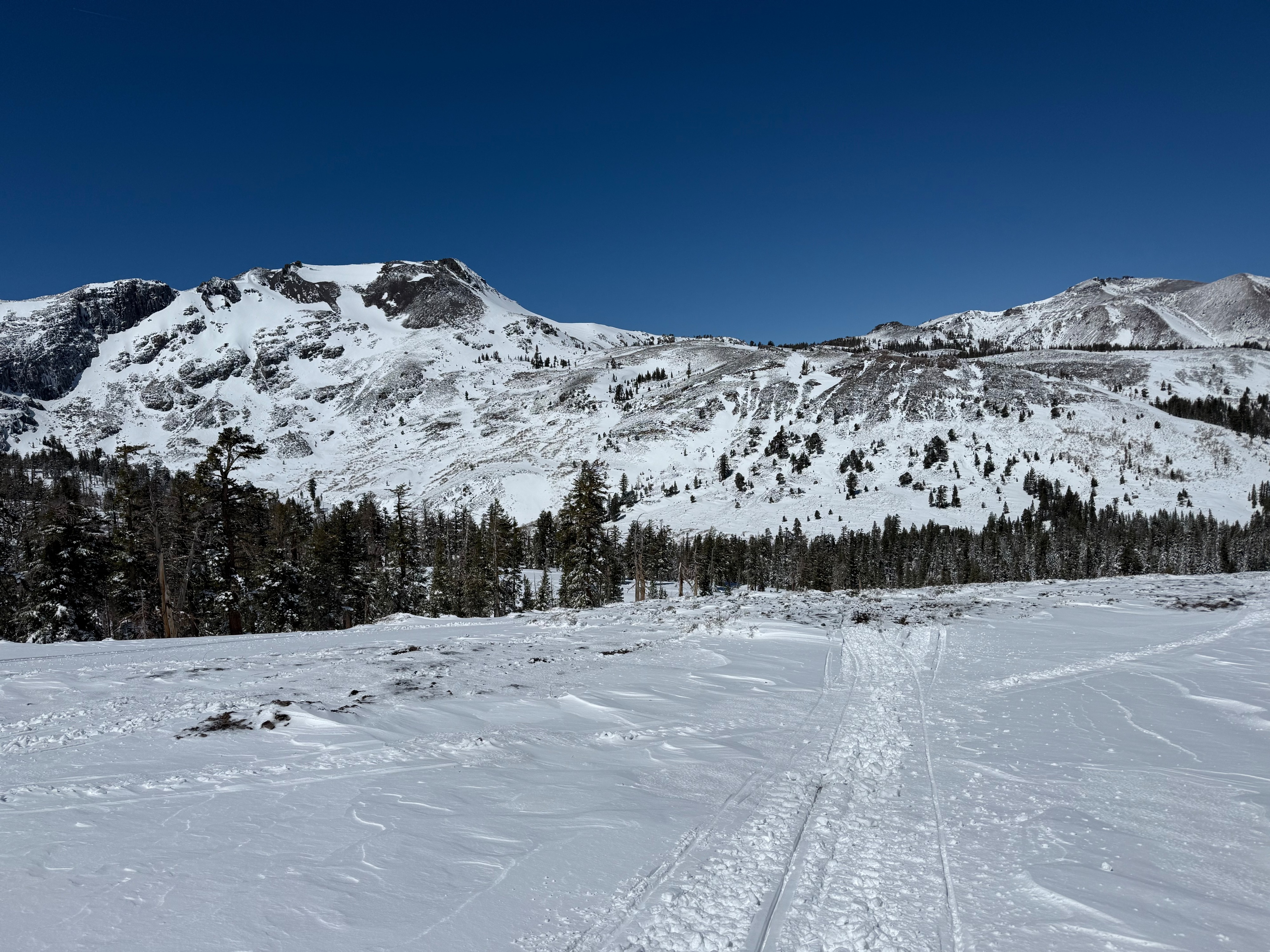
I went out Foresdale Rd. to observe the new storm snow and the influence of the wind. The road was partly covered with new snow, but it was mostly a scratchy ride out to the bridge. Once in the ridable terrain, the new snow was either heavily wind compacted or had a light dusting of powder on top of windboard. The windboard was 20-40 cm thick and pencil hard. The snow machine was fully supported on the surface, leaving minimal tracks in most areas. There were leeward pockets with dry, cold powder (2-10cm). The new snow was 20-60cm depending on wind exposure. It felt like riding on a windboard almost everyewhere. The wind was blowing enough snow to cover tracks from earlier in the day. Sastrugi was in isolated pcokets. Clear skies with a moderate SW wind.
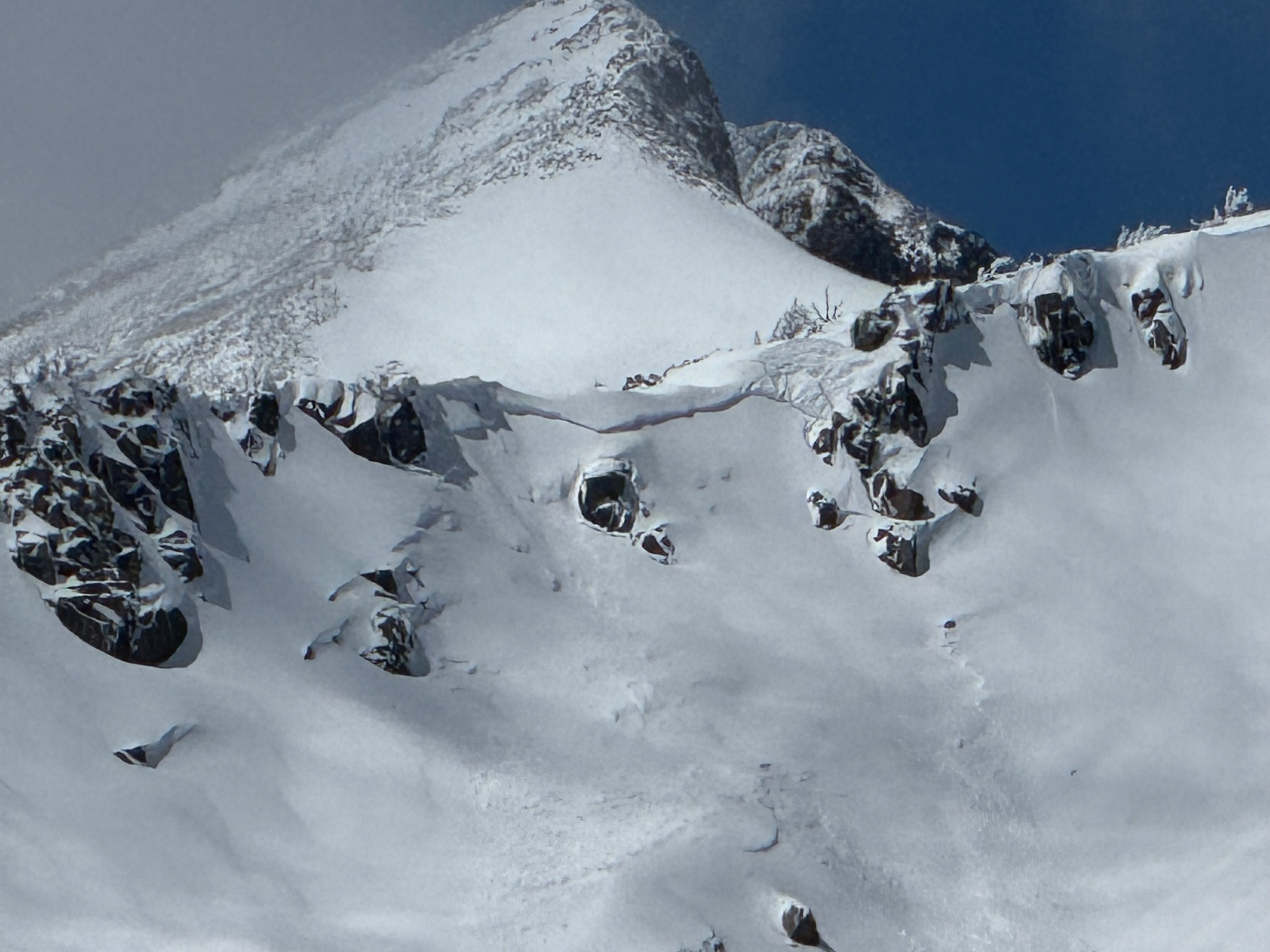
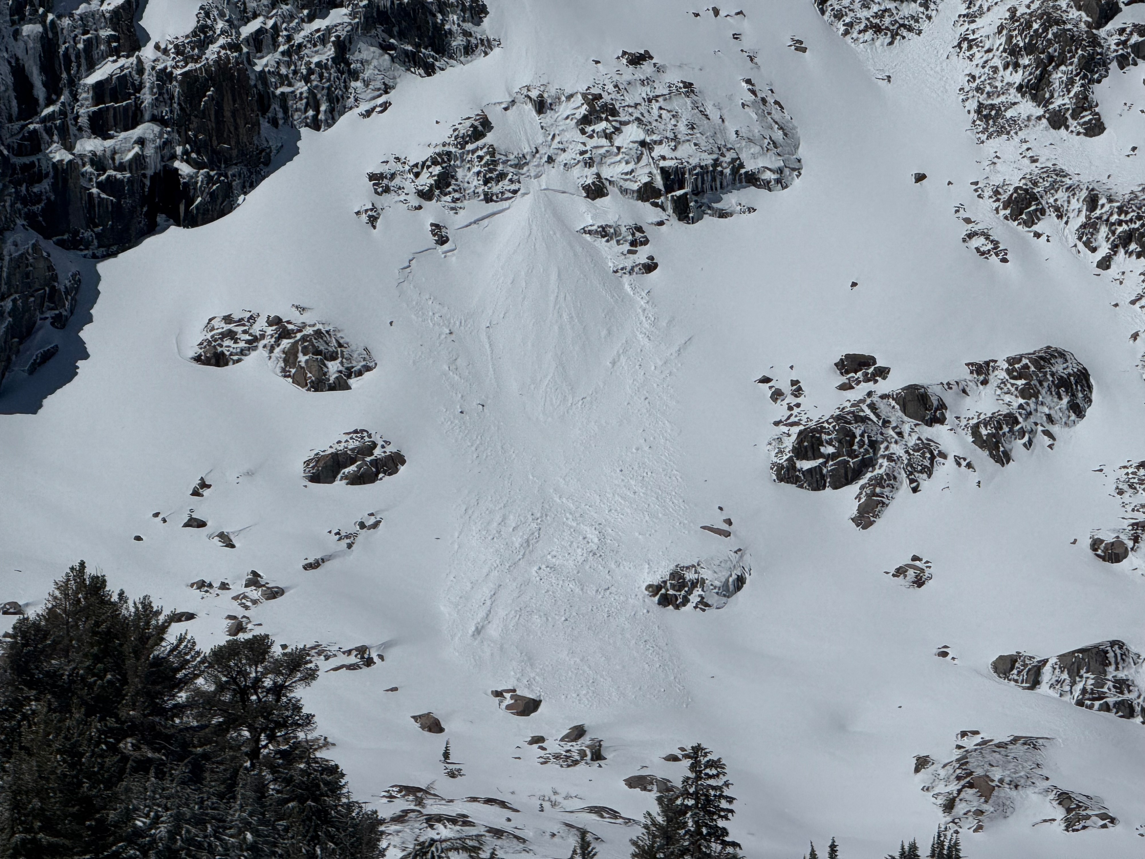
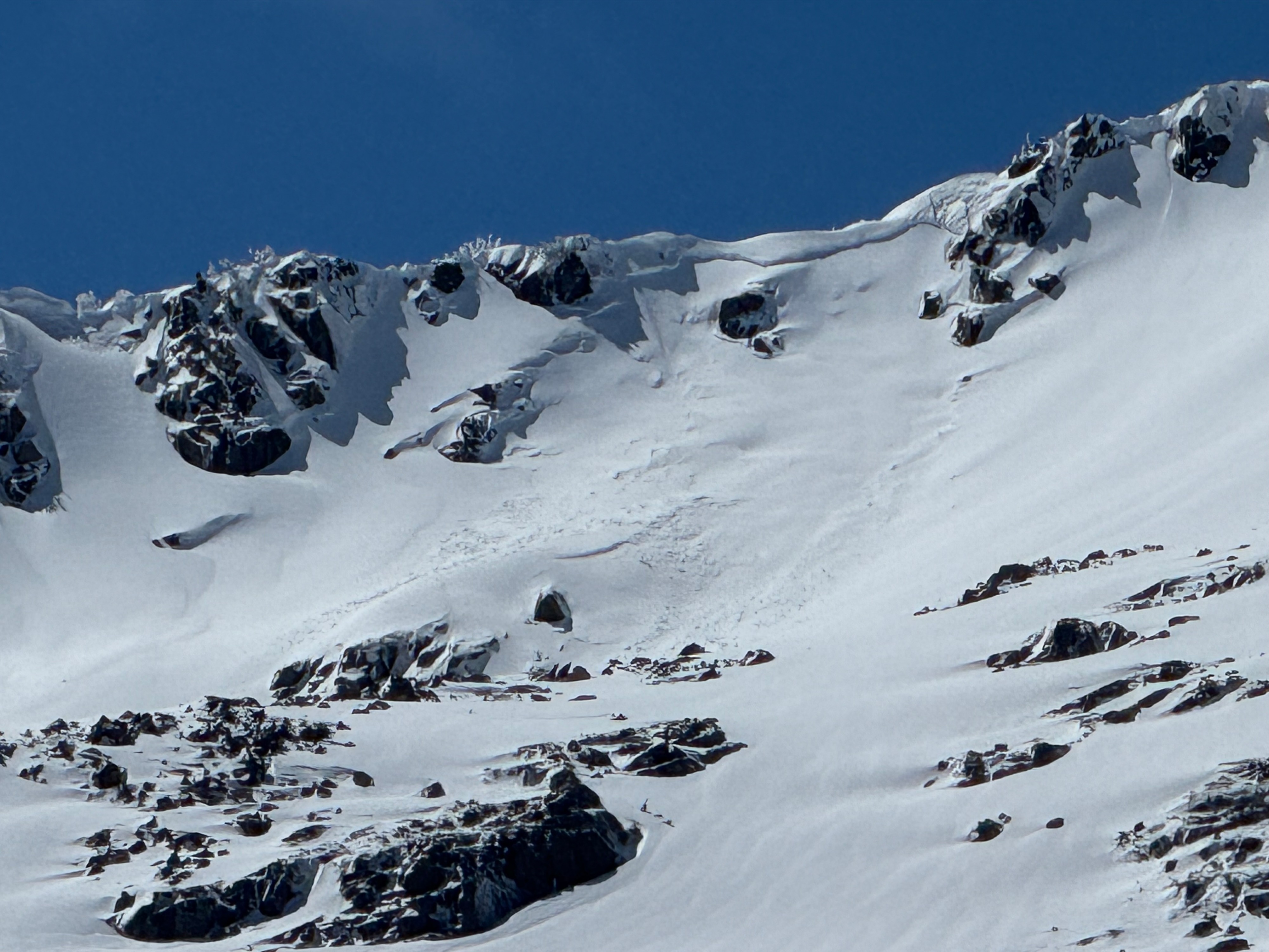
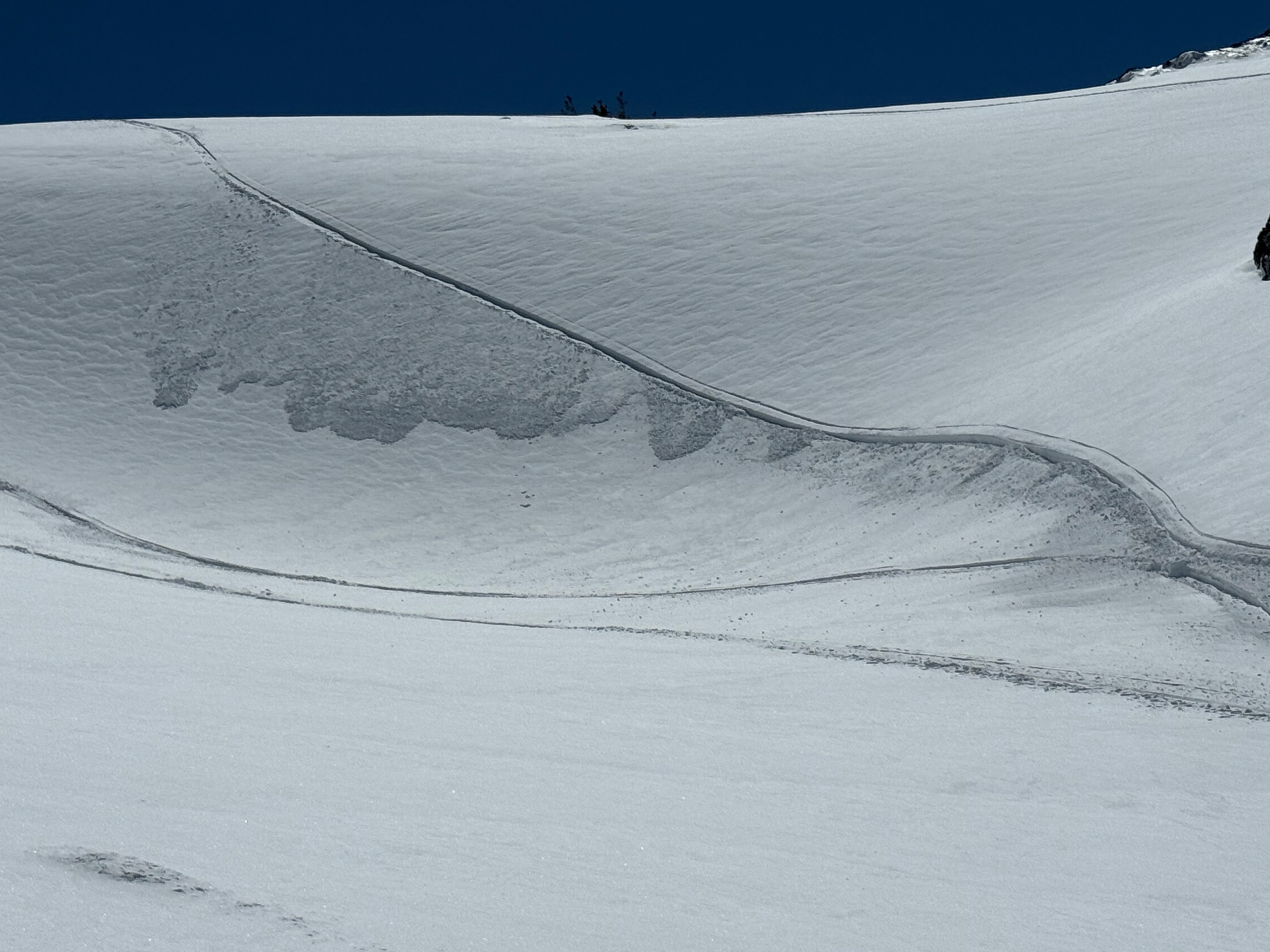
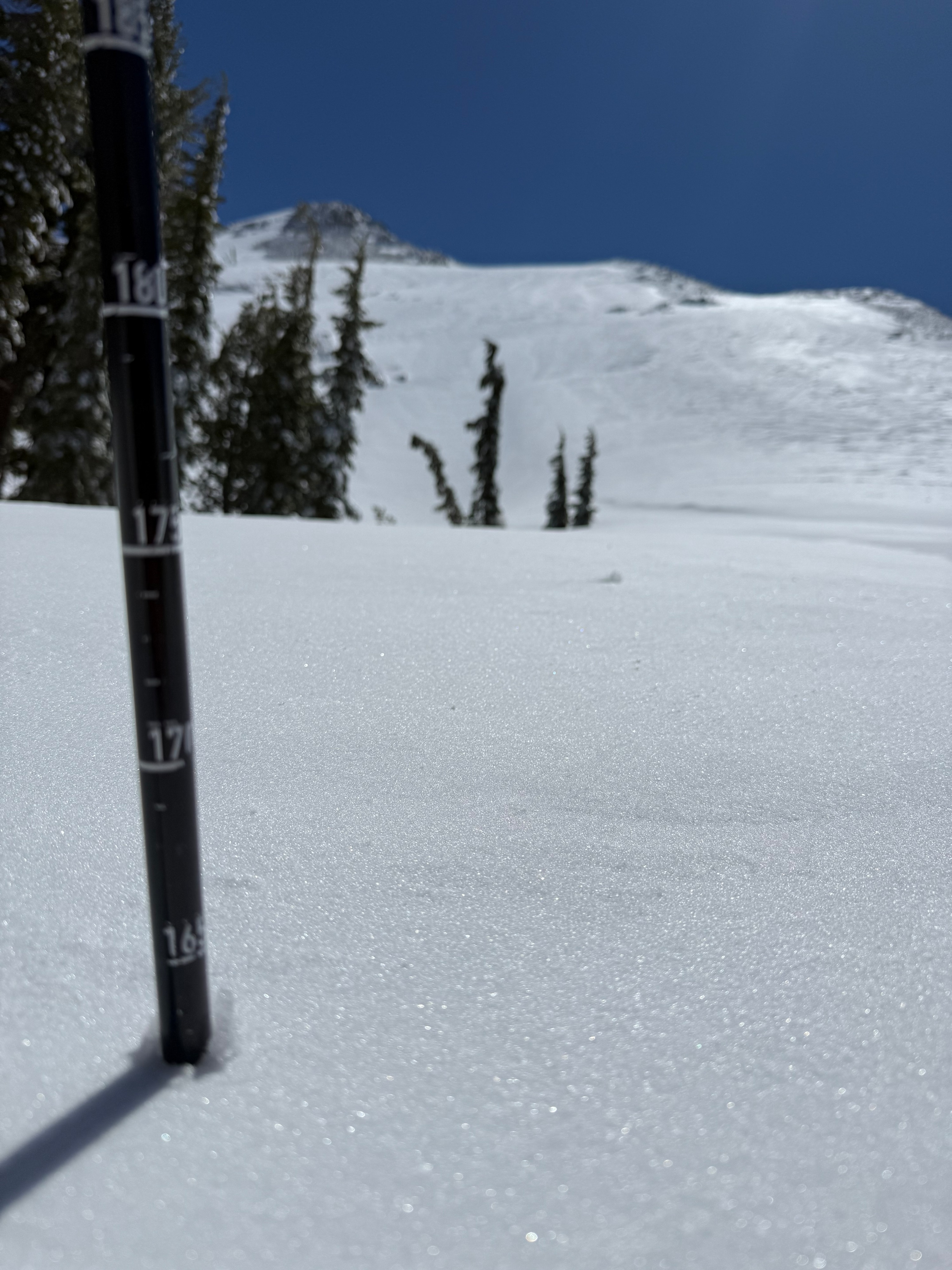
I saw two avalanches from afar. Both appeared to be natural and within the new storm snow, roughly 30cm down. These would have happened in the last 48hrs. This supports the forecasted hazard for today. I dug a pit on a north facing slope at 8,600'. Pit results showed a weak layer within the new storm snow. There appeared to be temperature changes and wind affect within the new snow. A 4 finger soft section below the pencil hard windboard was prodcuing the results. (CT11 SP down 33cm, ECTP13 down 33cm). It is suspected that the recent avalanches were failing on the same layer within the new storm snow. HS in this area was 165cm, with 60cm being new snow.
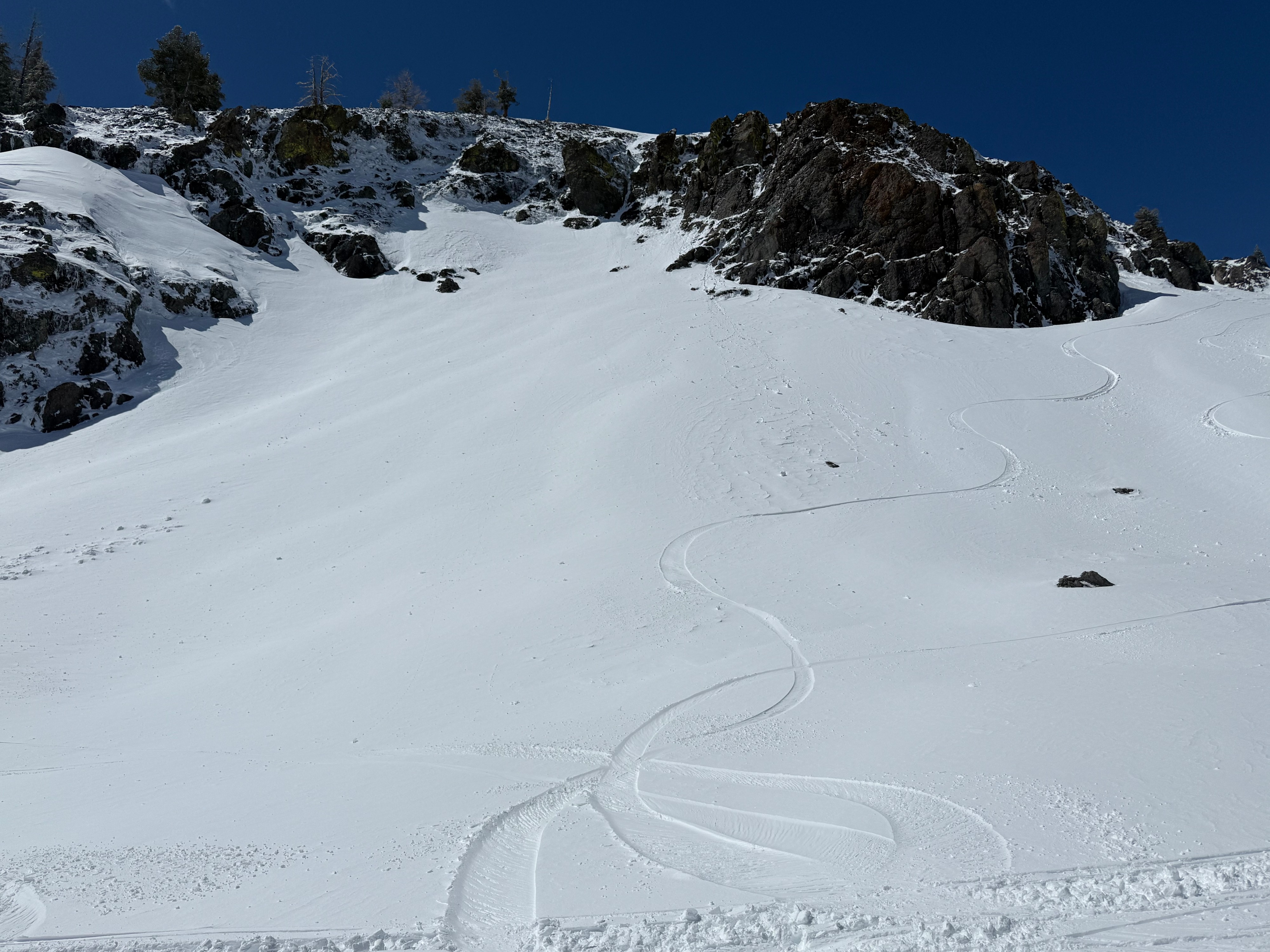
The storm did a good job of resetting the snow surface. The wind compaction made most surfaces smooth in the alpine. On average there was 1-2 ft of new snow. Near and above tree line the snow was cold and wind pressed, below tree line it was melted and mushy. The best skiing and riding are in areas were a previous base exisited.
Signs of avalanches within this recent storm cycle.Weather
- Air Temp
- 33
- Cloud Cover
- clear
- Wind Loading
- light
- Rain Elevation
- Not Observed
- Recent Snowfall
- 20-60cm
- Snow Avail For Transport
- small smounts
Skies were mostly cloudy in the am, but cleared up quickly. Temps were below freezing in the morning, with a strong SW wind. Around noon the wind decreased to moderate on the ridges and light in sheltered areas. The temperature rose to 33 on the crest, but the wind chill in the alpine made it feel like 30. Below tree line warmed quickly and showed significant melt. There was light blowing snow in the alpine. It appeared like the strong/ gale forced wind event had just ended.
Avalanche
- Size
- D2
- Aspect
- E
- Trigger
- N
- Elevation
- 9000 ft
I saw two avalanches from afar. Both appeared to be natural and within the new storm snow, roughly 30cm down. These would have happened in the last 48hrs. This supports the forecasted hazard for today. I dug a pit on a north facing slope at 8,600'. Pit results showed a weak layer within the new storm snow. There appeared to be temperature changes and wind affect within the new snow. A 4 finger soft section below the pencil hard windboard was prodcuing the results. (CT11 SP down 33cm, ECTP13 down 33cm). It is suspected that the recent avalanches were failing on the same layer within the new storm snow. HS in this area was 165cm, with 60cm being new snow.