
Quick report
- Cracking
- specific
- Collapsing
- specific
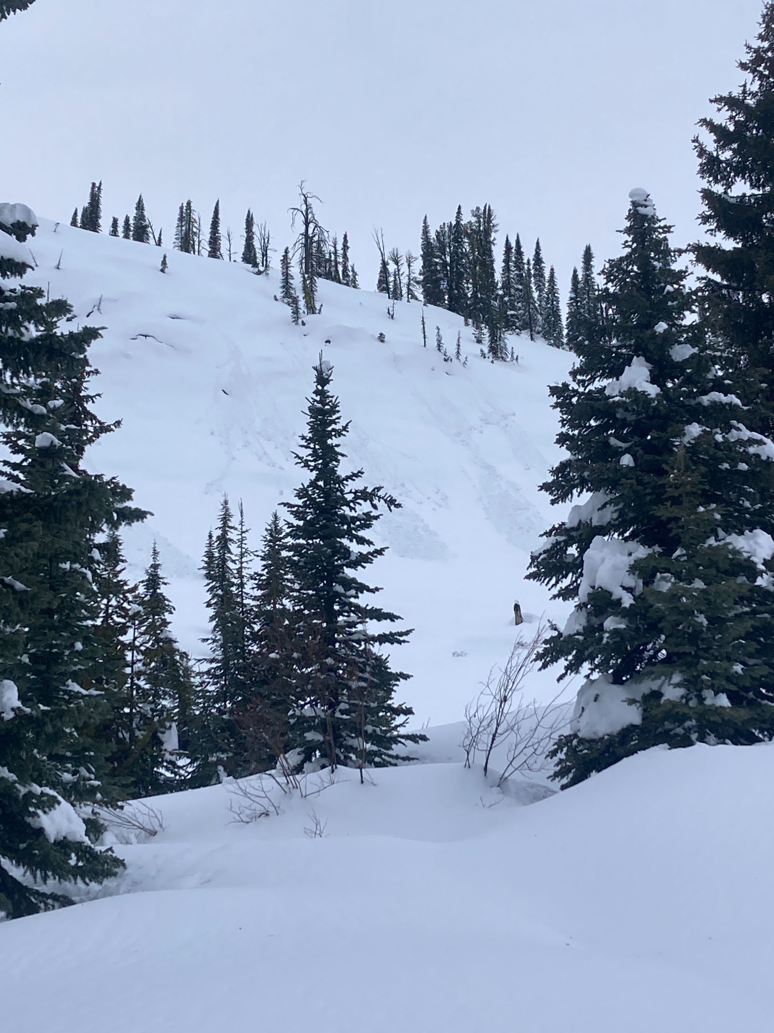
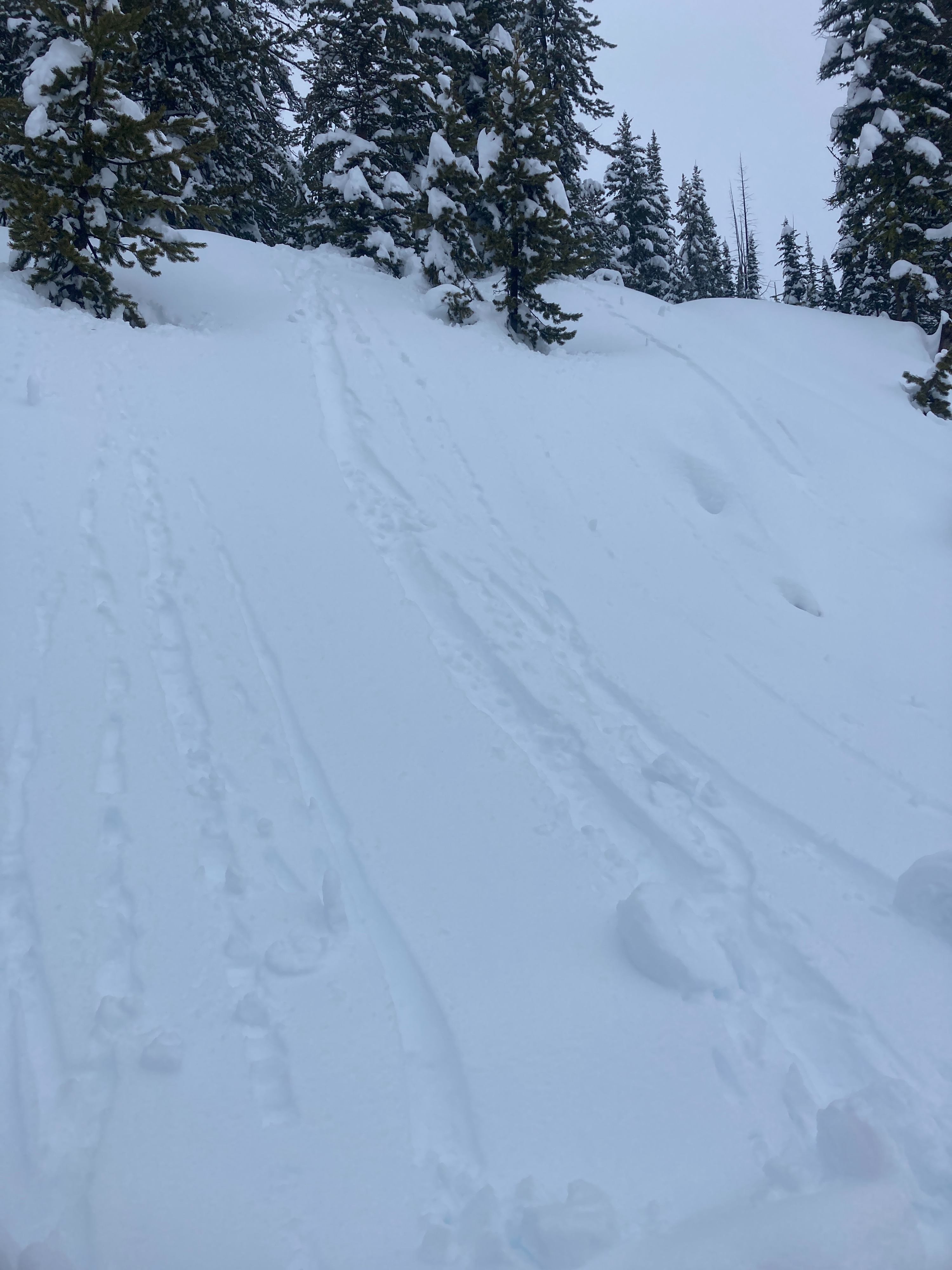
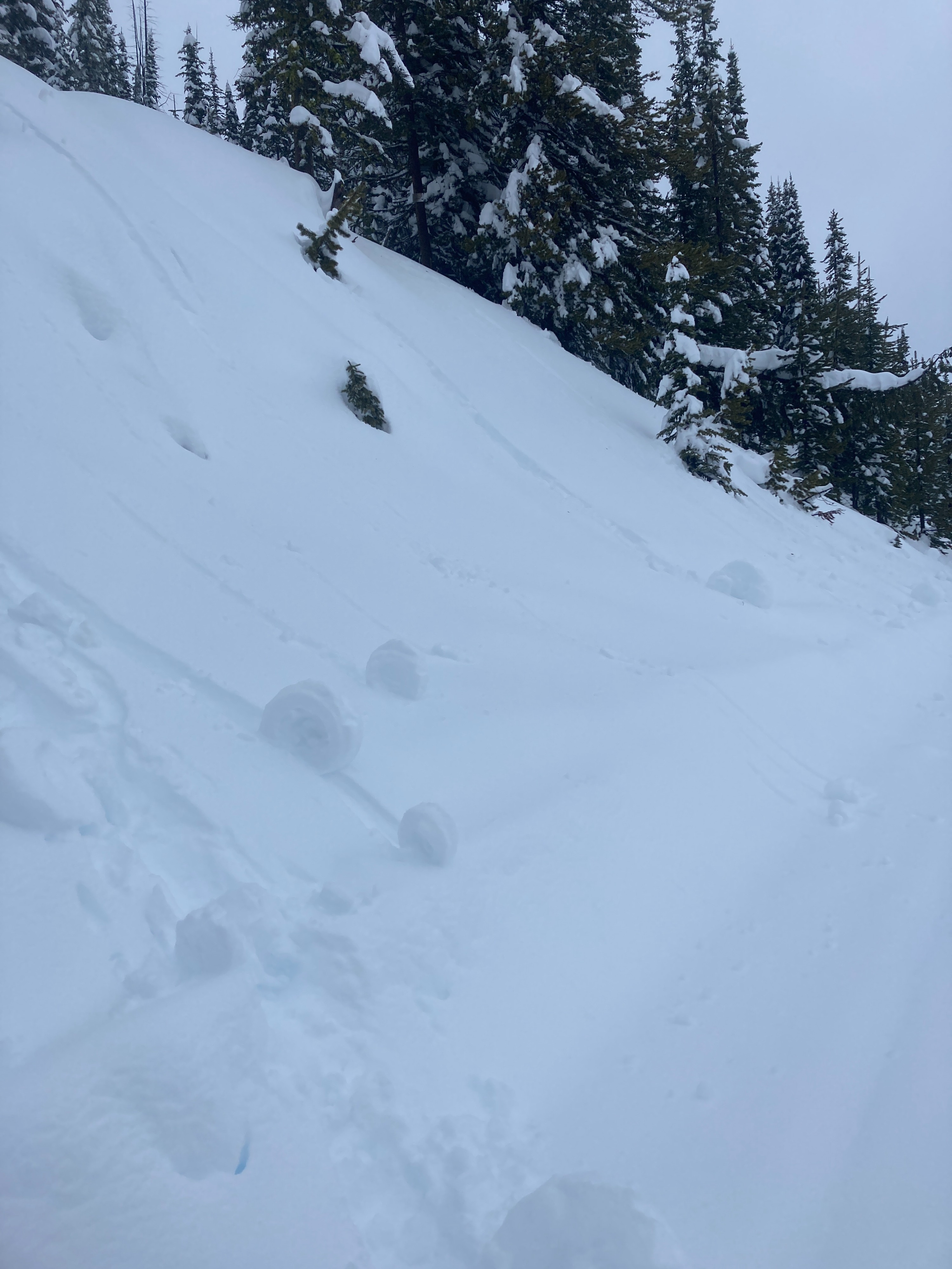
Wet and wild weather today in the mountains. New storm snow has created an upside down storm slab which is widespread, but most reactive in wind-affected terrain. Wet loose activity was observed between 6000'-7200' across multiple aspects. Persistent slab problem has become unlikely.
Cracking and collapsing of new storm snow. The upper foot of the snowpack is "upside down" (stronger snow overlying softer snow). Wet, heavy snow has been falling on lighter, drier snow from earlier this week. Small, natural wet loose avalanche activity observed from trees shedding wet snow.Weather
- Air Temp
- 29-34
- Cloud Cover
- overcast
- Wind Loading
- moderate
- Rain Elevation
- 7400
- Recent Snowfall
- 15-20
- Snow Avail For Transport
- small smounts
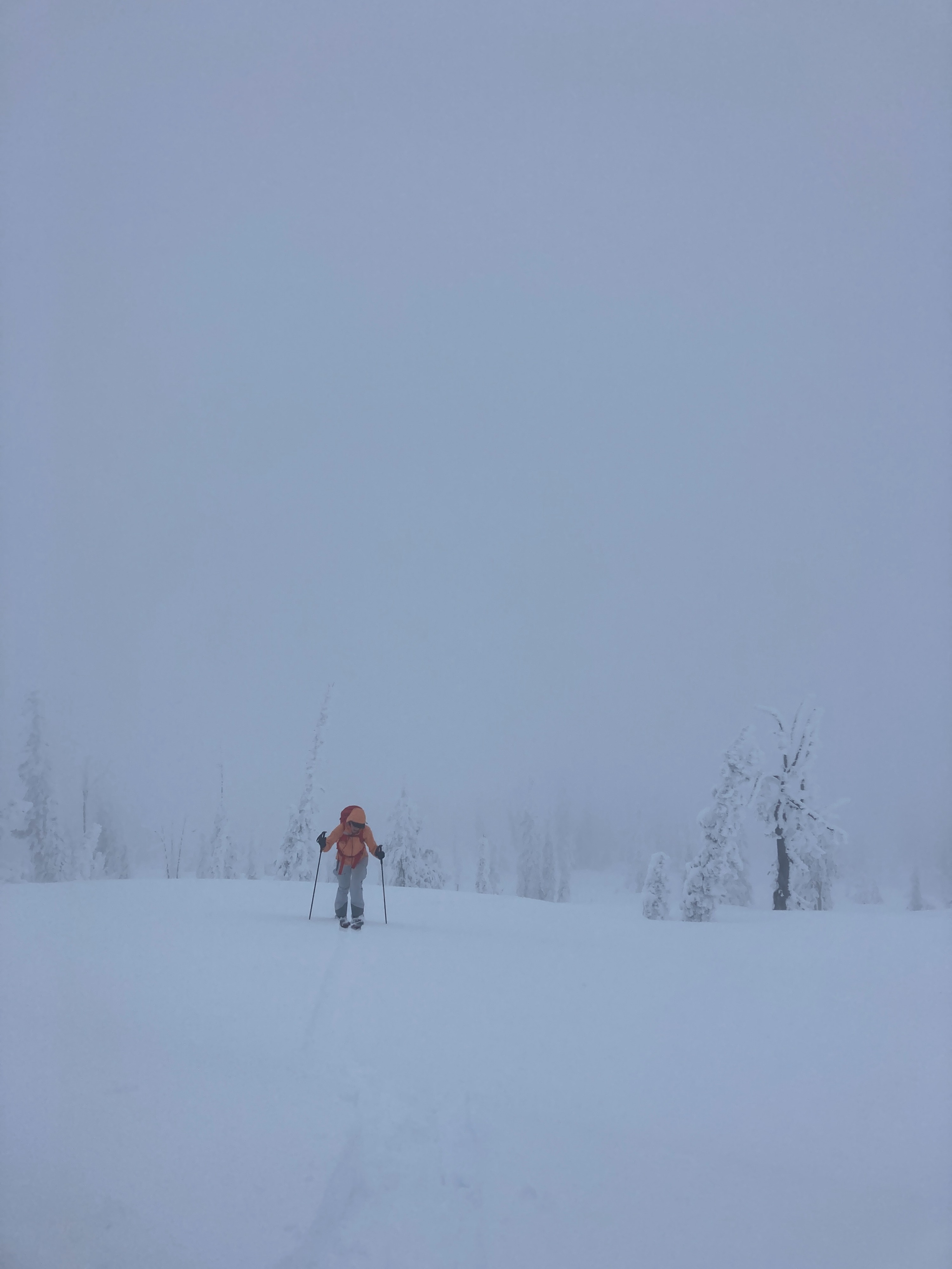
Another Friday storm day. It was a great day to test your NikWax and Goretex. We departed Titus lot (5700') around 1000 and the cloud ceiling was on the rise. Snow surface had been rained on up to about 7400'. We hit light rain around 6500'. Winds were light in the AM and precipitation was decreasing. We started skinning from 7500' and we were just above the rain/snow line. Visibility became extremely poor in the PM above 7800'. Winds picked up out of the SW and were gusting into the 30 MPH range. Snowfall increased above 8000' in the PM as well. Snowfall seemed limited to terrain above 7500'. Winds were gusting into the 20 MPH range around 7500' in the PM. Precipitation was limited on our ride out around 1530. Goose creek canyon was funneling dense clouds up from the Meadows valley.
Snowpack
We dug three pits today across different elevation bands. Pit A was 6850', E/SE aspect. HS 176 cm (6 ft.). 20 cm (8") storm snow sitting atop 13 cm (5") softer snow from earlier this week. Upper 4 cm was wet. ECTN 9 & 11 observed within new/old interface. Pit B was 7630', N/NE aspect. HS 305 cm (10 ft.). 15 cm (6") storm snow sitting atop 23 cm (9") softer snow from earlier this week. Upper 5 cm was moist. ECTN 11, CT 12 SC at new/old interface. Pit C was 8300', E aspect. HS 313 cm (10 ft.). 21 cm (8") new storm snow sitting atop 10 cm (4") softer snow. Upper 6 cm was dense. ECTP 11 (x2) 25 cm down at new/old interface.