
Quick report
Wind slabs will likely be trending down over the next few days. Small, dry loose sluffs may increase during high pressure. The current snowpack appears to be handling the recent storm snow well, and we have yet to find any discernible layers of concern.
Weather
- Cloud Cover
- overcast
- Wind Loading
- light
- Rain Elevation
- <5000
- Recent Snowfall
- 5-10 (24 hours)
- Snow Avail For Transport
- moderate amounts
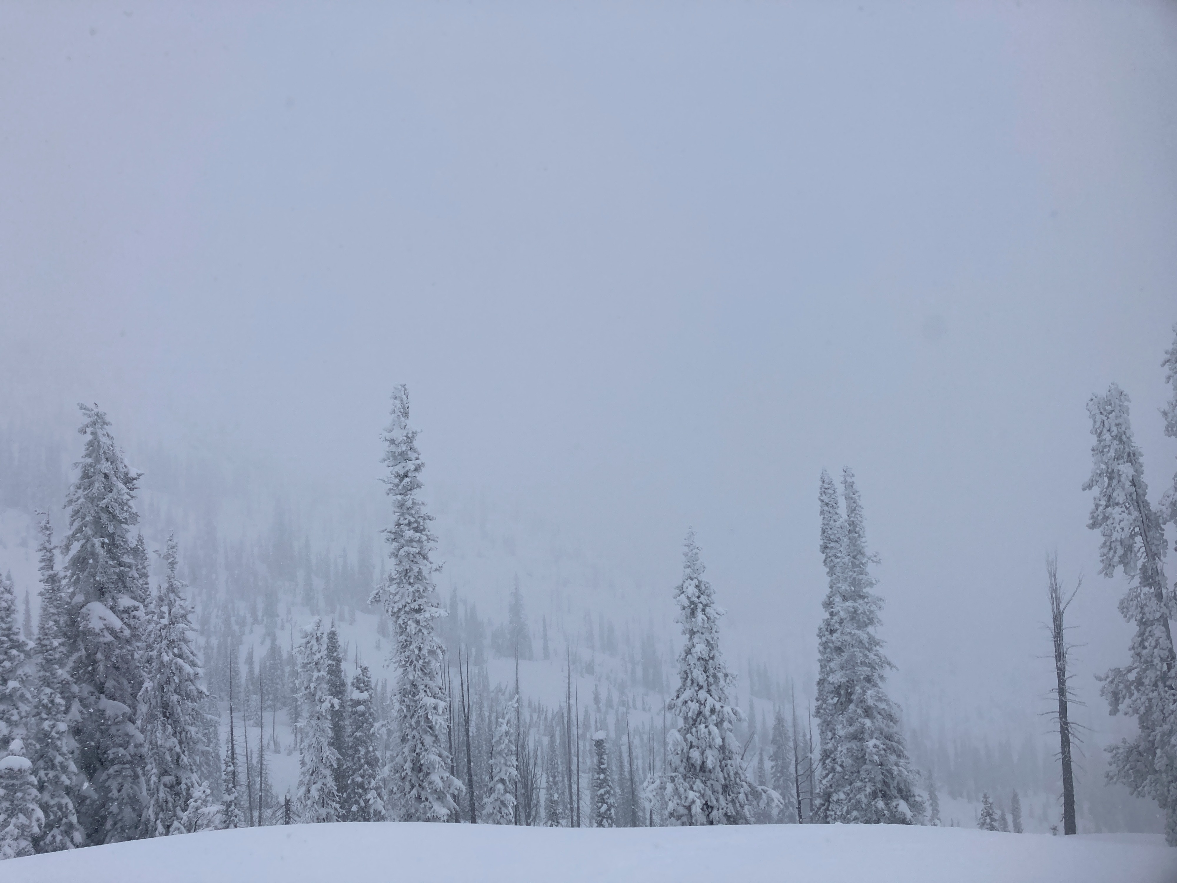
Skies were broken in the morning, with visibility around 1-2 miles. Intermittent snow showers for most of the day, most were light to moderate (S1). Skies became overcast to obscured during the PM. Temperatures were dropping throughout the day. Winds were moderate out of the W/SW.
Snowpack
Lower elevation (below 6500 feet) - I found a snowpack 3-4 feet deep that was saturated from the 01/03 crust down. Off-trail travel is improving, but there are still plenty of challenges with bushes, open creeks, and much lower than normal snowpack.
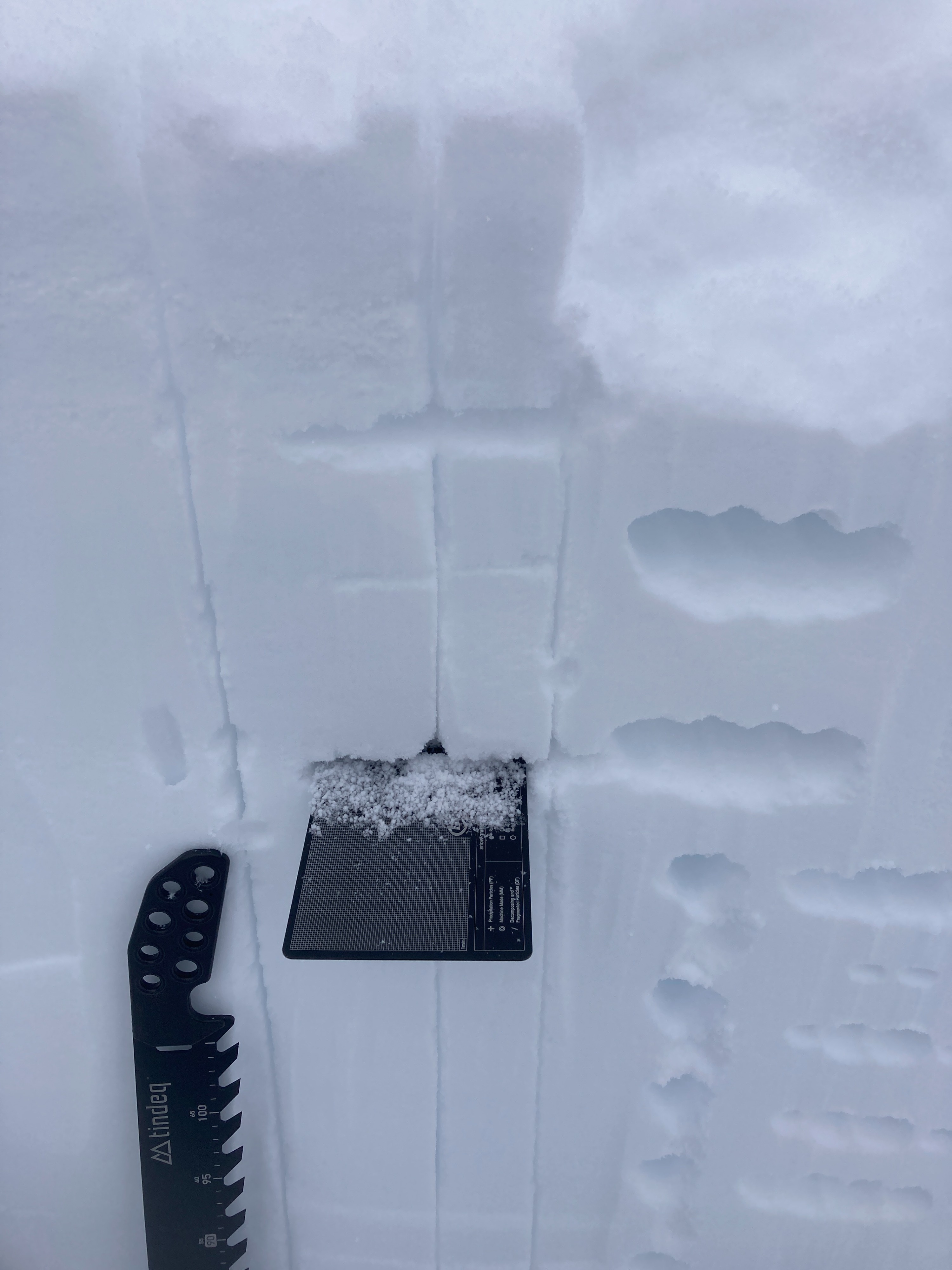
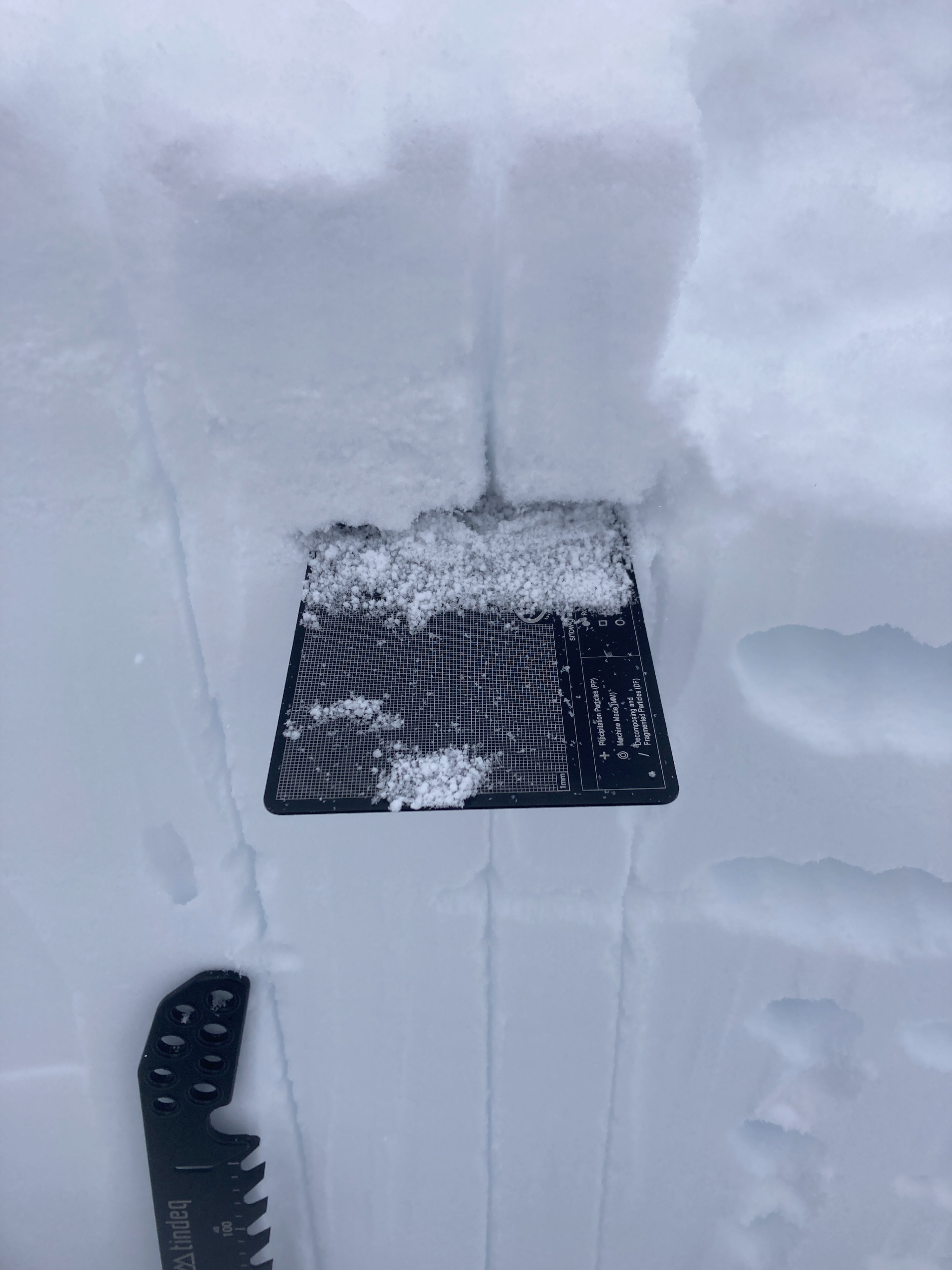
Middle elevation (6500-7500 feet) - Height of snow ranges from 5-8 feet deep (deeper as you climb higher). 3-4 feet of settled snow since around New Years day. No persistent grains observed in pits. Two distinctive layers of graupel are buried 1.5 feet down. No propagation in extended column tests. No signs of instability while traveling, and no evidence of a slab where I traveled today.
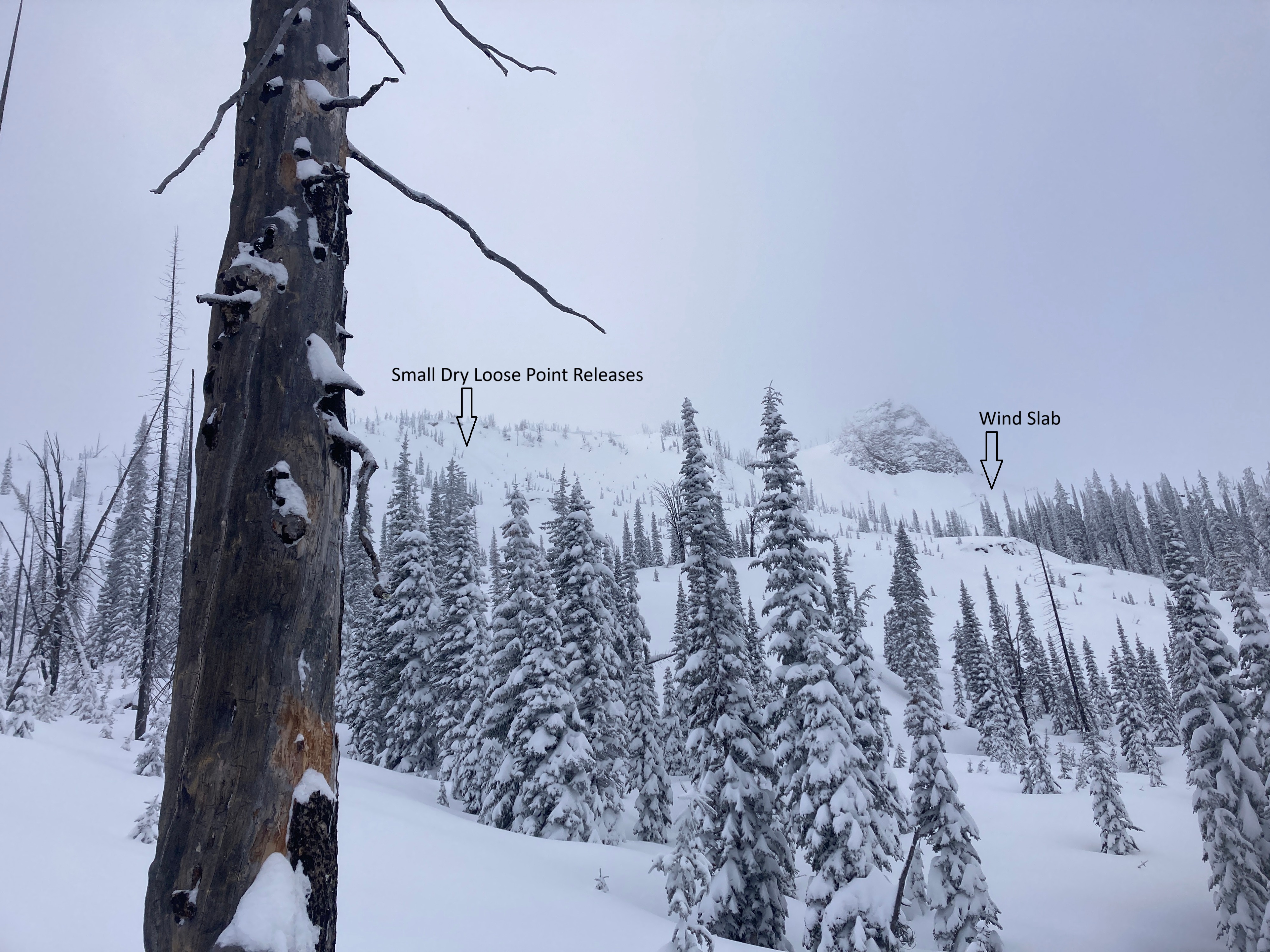
Upper elevation (above 7500 feet) - I observed evidence of previous wind slab avalanche activity on steep, east-facing slopes, just beneath ridgelines. I also saw small, dry loose point releases in steep terrain. Wind slab problem is slightly trending down, but remains possible in certain terrain features.
Avalanche
- Size
- D1.5
- Type
- SS
- Aspect
- E
- Trigger
- N
- Elevation
- 8100 ft
I observed a small wind slab avalanche that likely occurred sometime on Tuesday (6th), around 8000', on an east aspect, just below the ridgeline.