
SR-S-6.9 & 7.3
Quick report
In addition to the avalanche summary, the wind did its damage throughout the Salmon River Mountains. Exposed terrain was striped to the most recent rain crust and sastrugi has developed along areas that were not stripped.
Snowpack
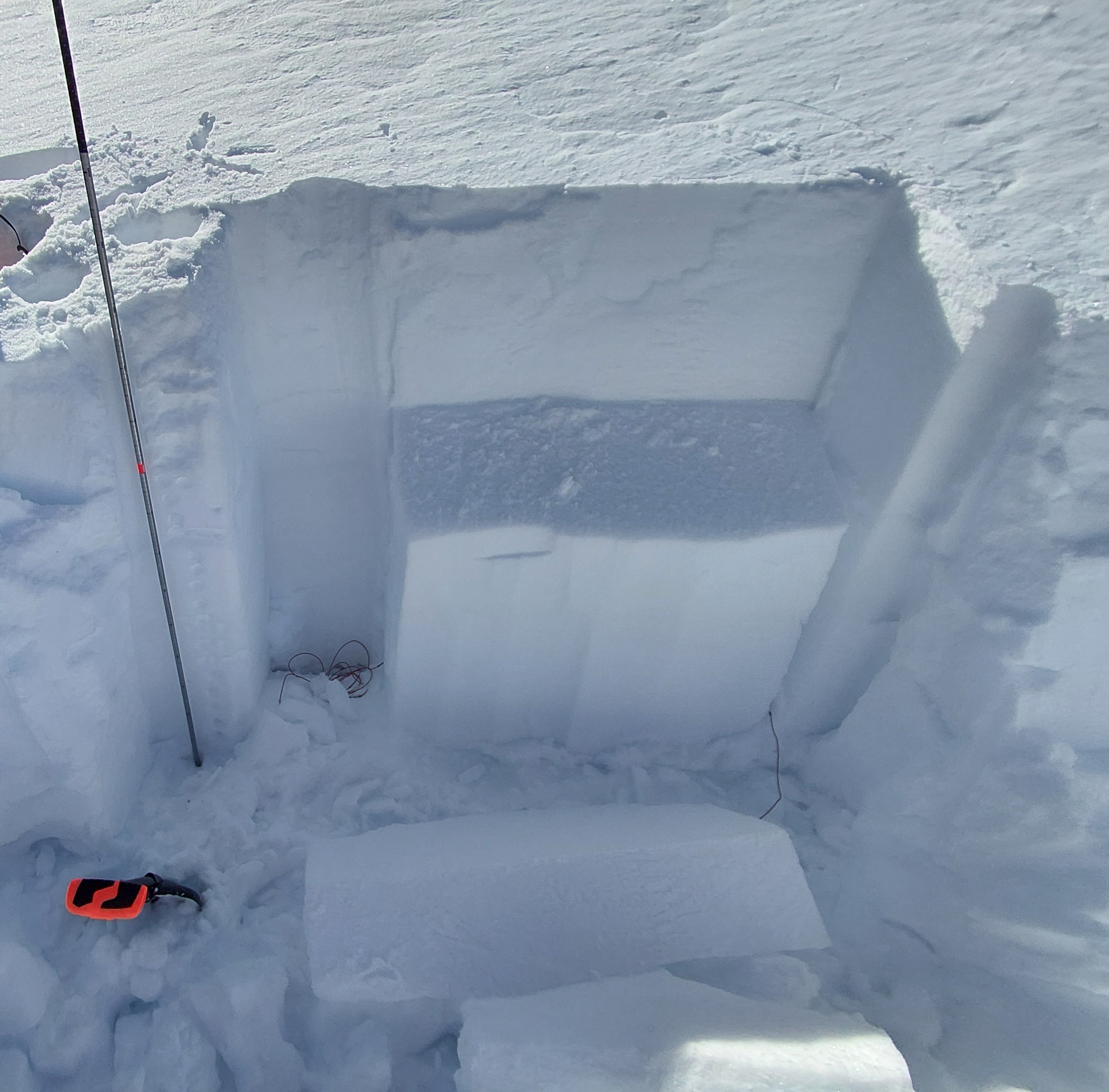
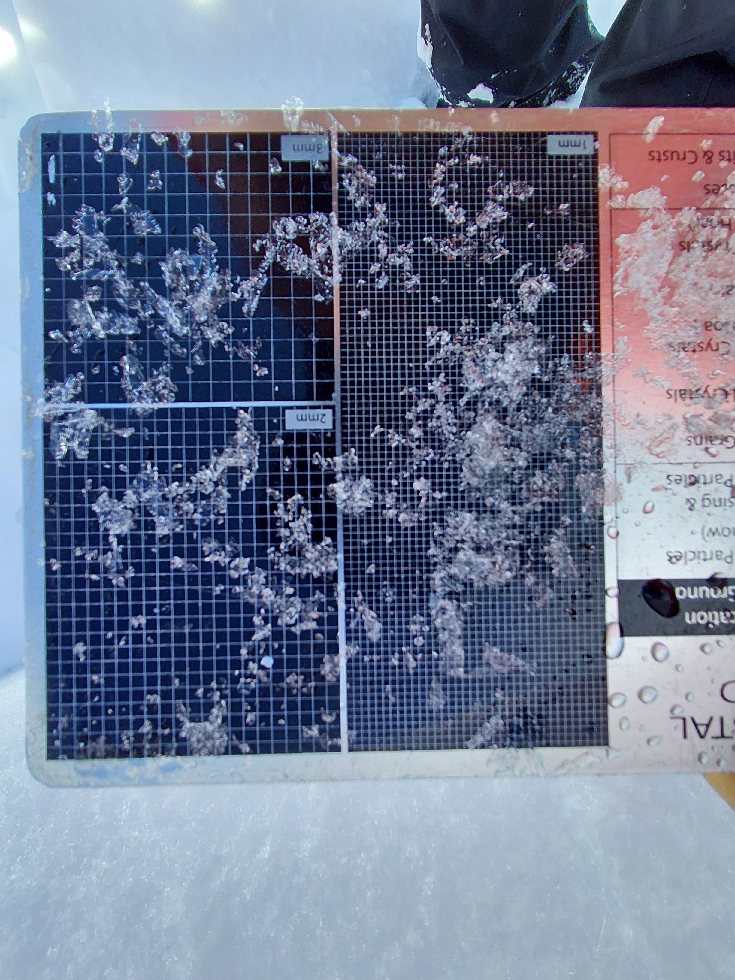
Snow profile dug between SR-S-6.9 & 7.3 avalanche paths in the Stibnite Road corridor. Working top down. Height of snow: 179cm ECTN14@ 163, ECTN16@ 155 Layers of concern listed below. ECTP20@ 131 1-2 cm layer: F hardness, preserved 2-4mm surface hoar, 2-3mm facets, and some preserved graupel. The block popped off the column when it propagated. ECTP27@ 109 10cm layer: 4F hardness 1-2mm facets.
Avalanche
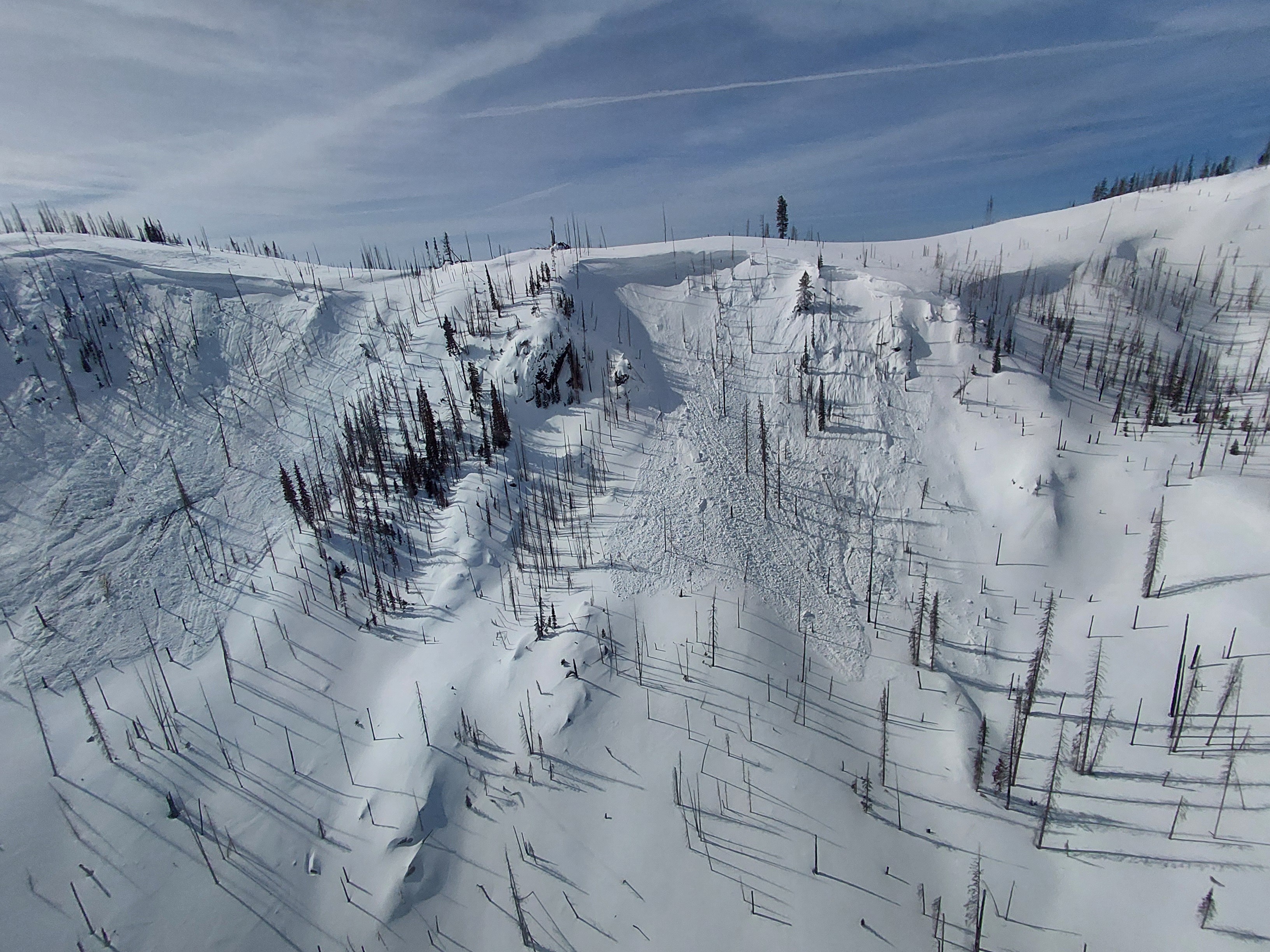
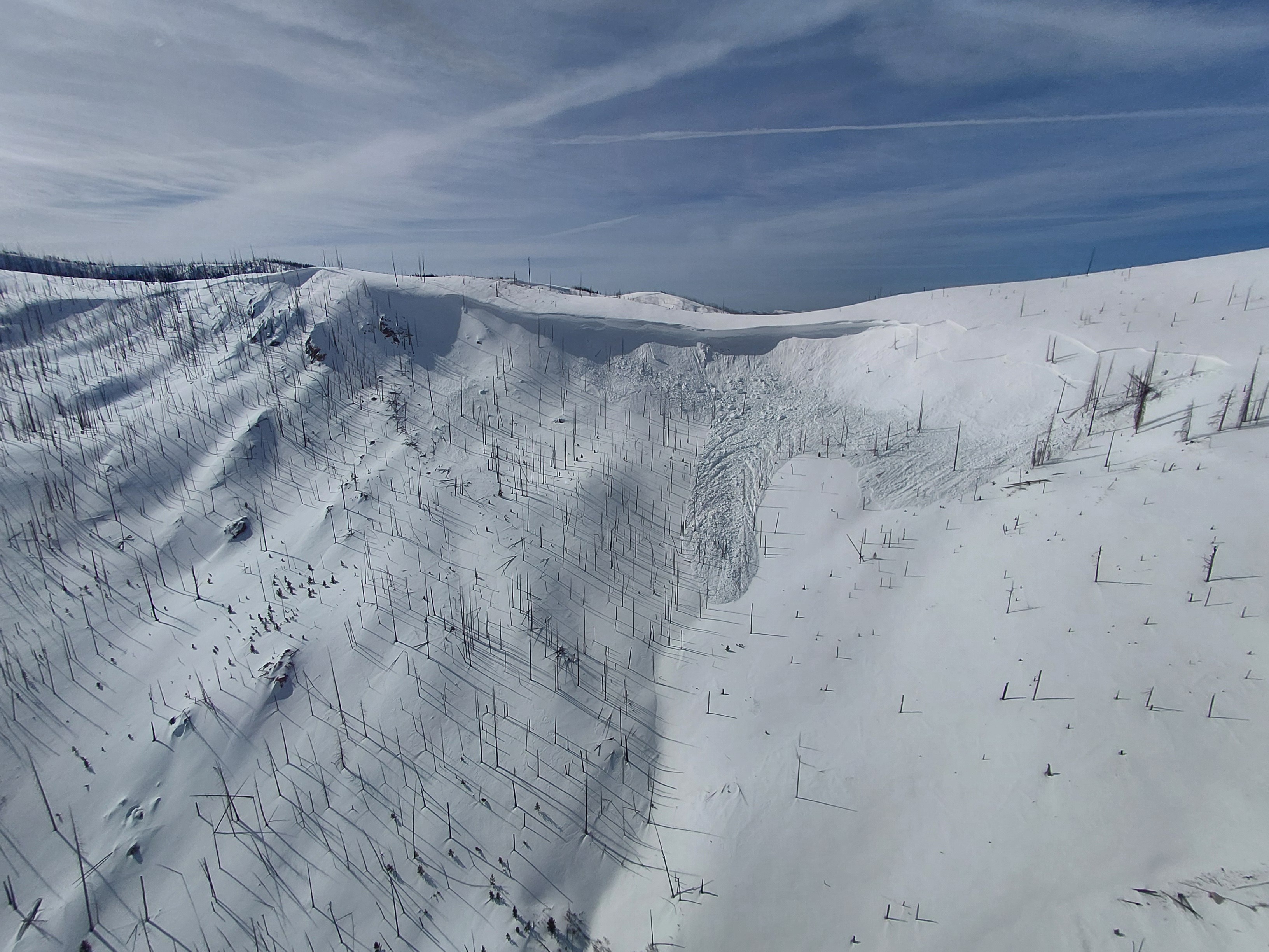
Avalanche were observed while flying from Warm Lake to Stibnite. All looked to have occurred in the previous 24hrs during the wind event. All occurred on NE-E asp at ridge tops near 7500 ft. Avg D2 size.