
Quick report
I'd expect sensitive slabs to develop on a mix of touchy surfaces (facets+crusts and some surface hoar) as a storm returns Wednesday night through Friday. So far, observations indicate much less avalanche activity here than E of about Dollarhide Summit and the Smoky Divide. This suggests that the weak layers are less sensitive here and will likely better handle our incoming storm.
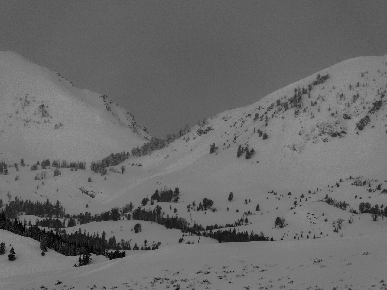
It seems quite likely that the slide I observed on N. Smoky Dome released sometime Monday night or early Tuesday (see below). No Cracking. My primary mode of travel was snowmobile, so collapses are not really applicable.Weather
- Air Temp
- Low 20s F
- Cloud Cover
- overcast
- Wind Loading
- previous
- Snow Avail For Transport
- moderate amounts
High clouds with some very short breaks of sun in some places. Very light snowfall in the morning. Clouds thickened, and snow picked up around noon. No appreciable accumulations by 1:30 PM. As I drove in, I noticed some flagging on a mid-elevation high point along Miller Ridge. This was short lived and the wind quickly died. While I was up there the wind blew light from the WNW and NW.
Snowpack
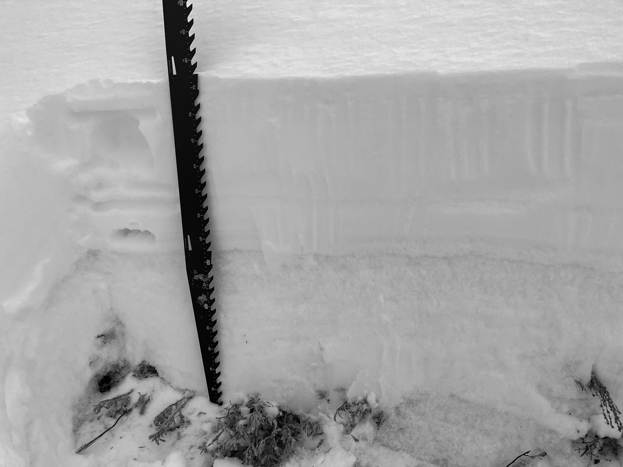
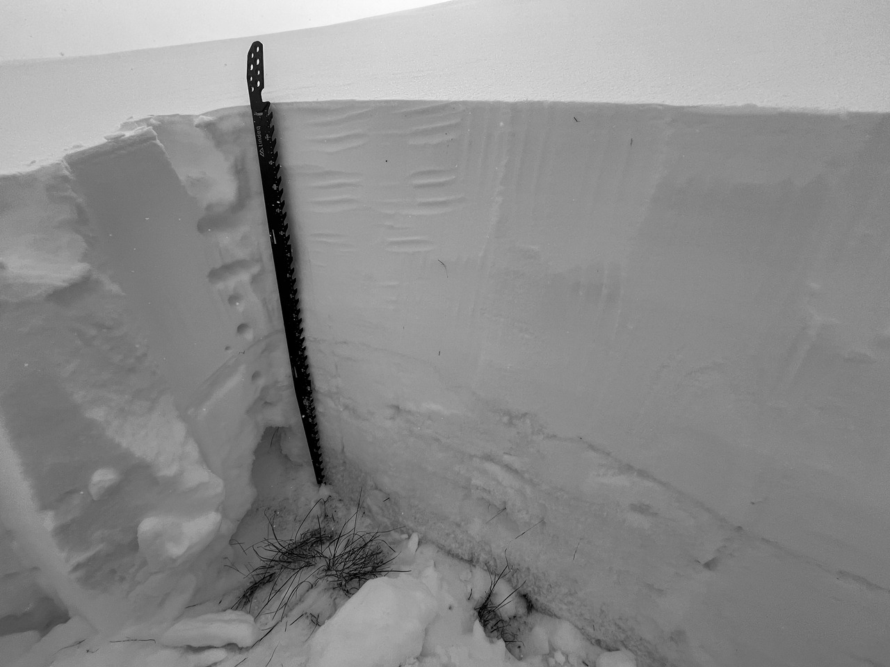
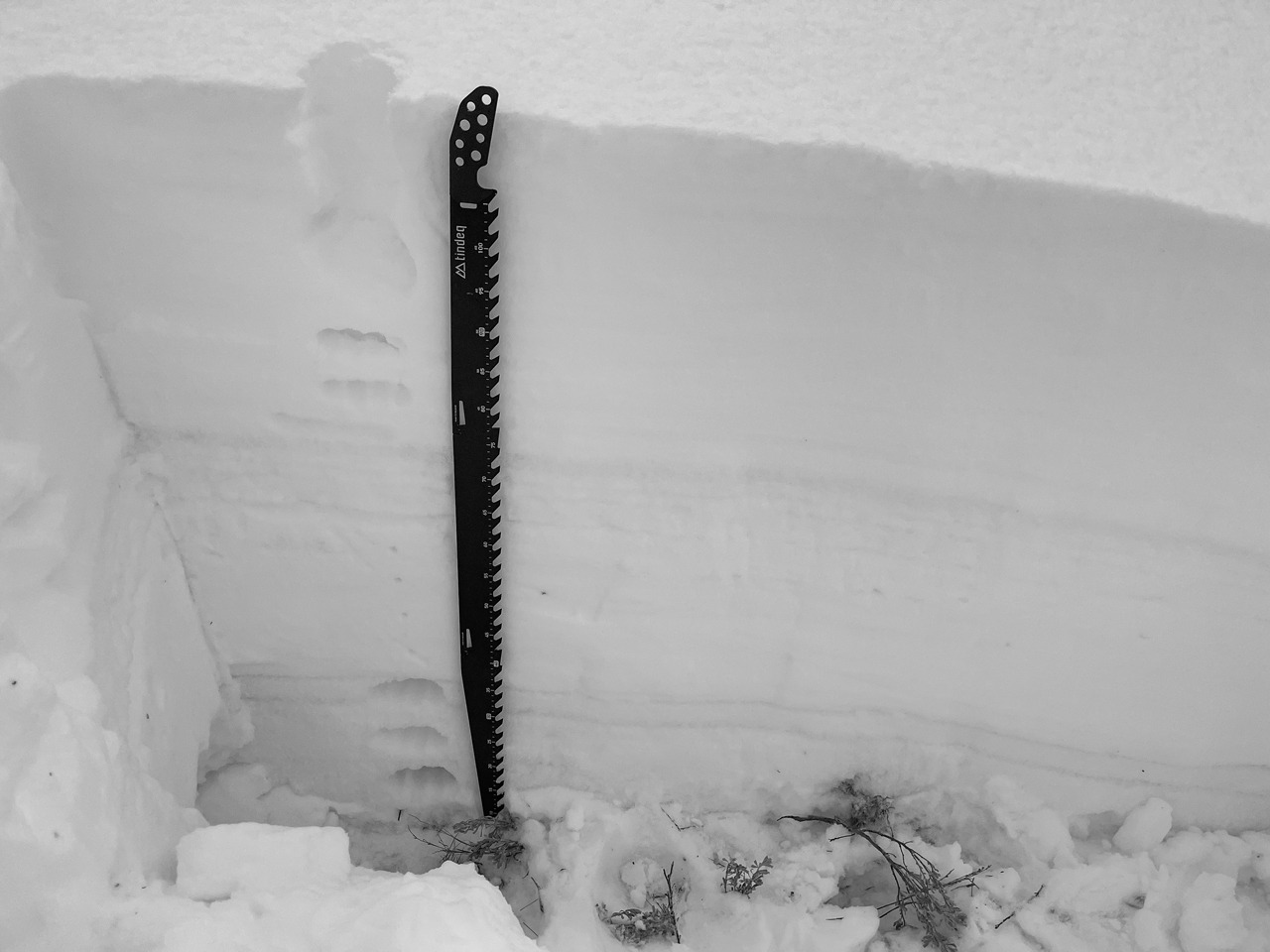
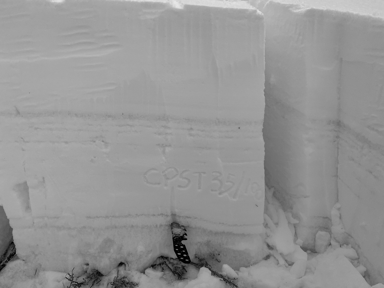
I dug at middle elevations on W, WNW, NNE, and SE aspects. See photos for specifics.
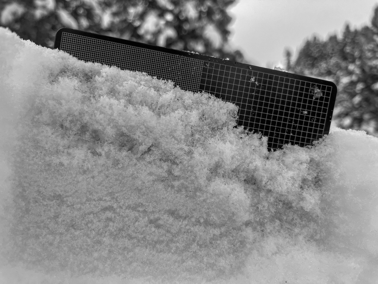
Surfaces: I'd expect the worst of the soon-to-be V-Day layer to exist on the solar margins. I observed some ugly-looking crust+FCsf sandwiches in these locations. Next on the bad list are the shadier slopes. Here, I found some FCsf and SH (photo). This may not last long but would be sensitive to a rapid load. Lastly, the sunniest aspects had stout 5 cm crusts with small facets beneath.
(2/1) Interface down 30-50 cm: This interface was most interesting on a NNE @ 8,300' where it presented as a 1 cm rain crust. Small FC below the crust were weak. I could see a setup like this misbehaving with load but only in very specific locations (ECTNs). Storm snow was well bonded to the top of the crust in all pit locations and tests returned ECTXs in all other locations.
(1/6) Layer down 60-80 cm: Despite the fairly shallow depth, this layer is acting more like a Deep Persistent Slab problem here. So far, observations indicate a lack of activity during the last storm. Like in much of our W and N mountains, it's had more time to sit and sinter under a heftier slab than the drier E portions of the forecast area. On sunnier slopes, there's a stout MFcr and a very dense slab shielding it from impact. Even on wind-sheltered WNW, the slab above the layer has a 30 P/P+ base.
Avalanche
- Size
- D2
- Aspect
- SE
- Trigger
- N
- Elevation
- 9700 ft
I had visibility to Dollarhide and mediocre views as far N as Big Peak. I had a good look at the Soldiers proper. No obvious avalanche activity. I'd guess most of the smaller mid-storm activity in windy areas would be mostly obscured.