
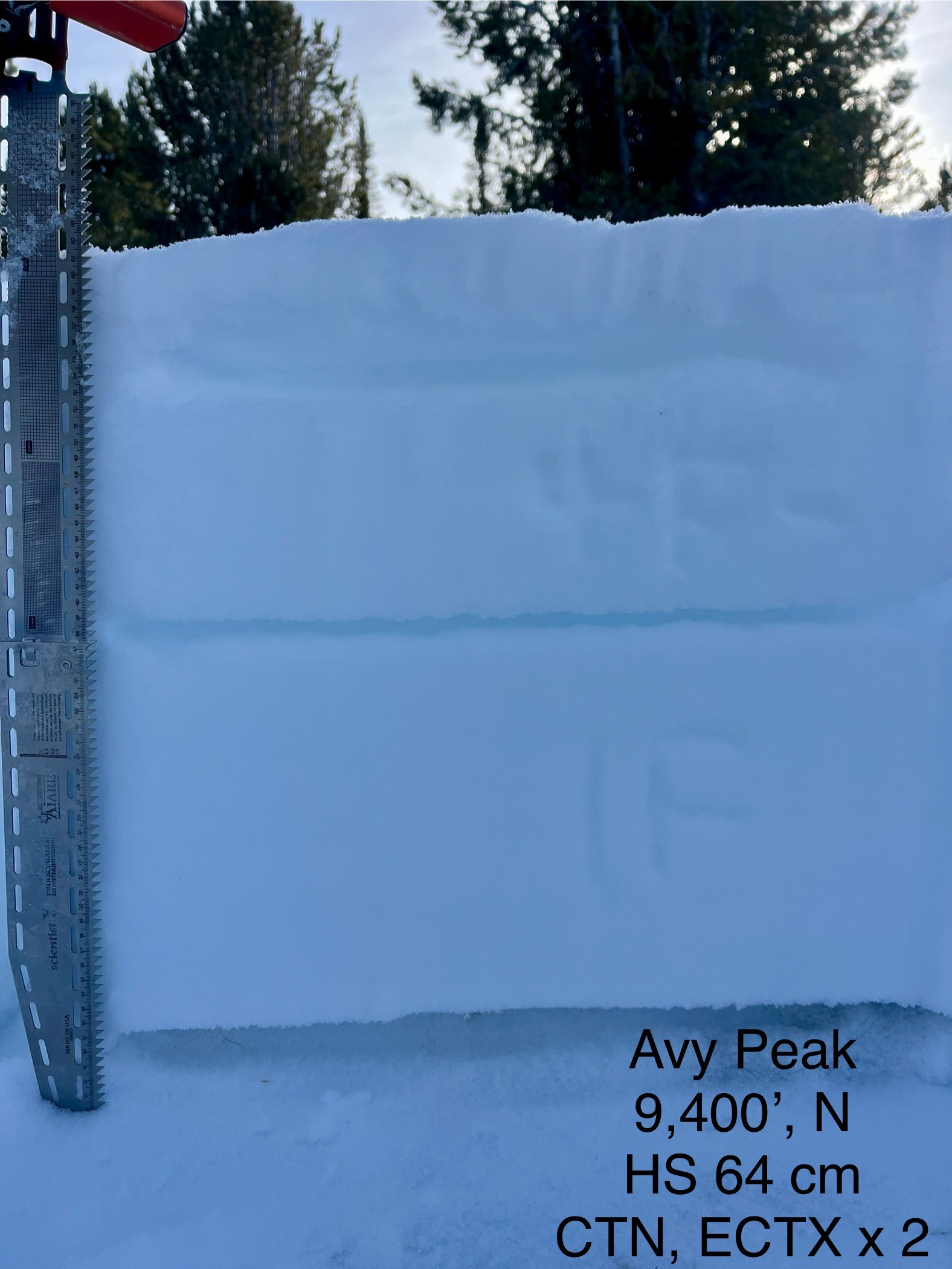
Quick report
- Cracking
- isolated
We observed recent wind-transported snow along the ridgeline forming thin slabs, 2-3 inches thick, which cracked underfoot in isolated pockets of wind slab. The snowpack appears to have settled significantly since the major storm prior to Thanksgiving, with the basal facet layer remaining relatively thin on north-facing slopes. Of greater concern are the surface layers in anticipation of the incoming weekend storm. The recent 1-2 inches of snow has created a cohesive blanket, concealing surface hoar and/or faceted snow within the top 6 inches of the snowpack.
Weather
- Cloud Cover
- broken
- Snow Avail For Transport
- moderate amounts
We encountered a couple of sucker holes of sunshine, but mostly cloudy for our short time in the field.
Snowpack
We conducted a snow pit on a north-facing slope at 9,400 feet, where the snowpack measured 64 cm in depth. The upper layer consisted of 2 inches (5 cm) of recent new snow. Beneath this layer, we identified 4 inches (10 cm) of weak, faceted grains. This layer will likely be a future player in the incoming weekend storm. Below the faceted layer, the snowpack was well-bonded and strong until reaching the basal layer, which contained 4 inches (10 cm) of 1-2 mm dry, faceted grains. Stability tests showed no failure on the basal facets, with results of CTN and ECTX repeated twice.