
Quick report
While there are isolated patches of snow lingering on higher elevation northley aspects in the Galena Summit and E. Mountains Zone, we are largely entering the storm system this week with a clean slate. Now is a good time to start a mental map, take photos, and think about where weak snow may be lingering between storms as we enter the shuffle between systems at the end of this week.
Weather
- Air Temp
- >32
- Cloud Cover
- scattered
- Wind Loading
- none
- Rain Elevation
- N/A
- Recent Snowfall
- 0
- Snow Avail For Transport
- none
There were scattered (SCT) high clouds at 14:00 while I entered the field from Galena Summit, with light W winds gusting moderate. Throughout the afternoon winds consistently stayed out of the W, increasing to the upper end of light both over the course of the afternoon and as I climbed in elevation from 7000'-9700' out Titus Ridge. Cloud cover also increased to broken (BKN) throughout the afternoon. Temperatures were just barely above 32°F, dropping to below freezing in the late afternoon at upper elevations.
Snowpack
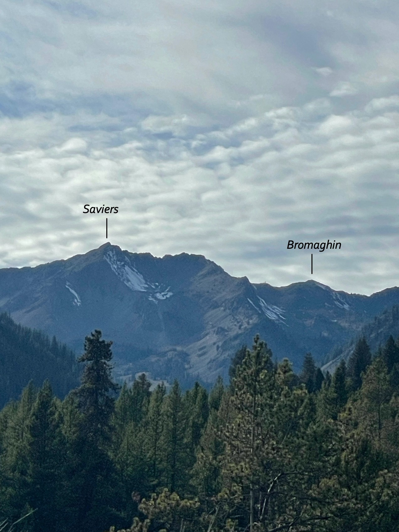
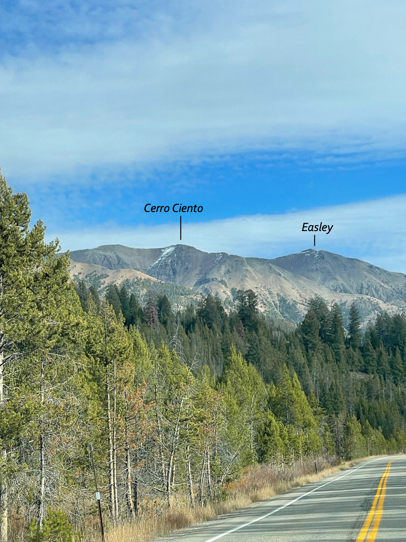
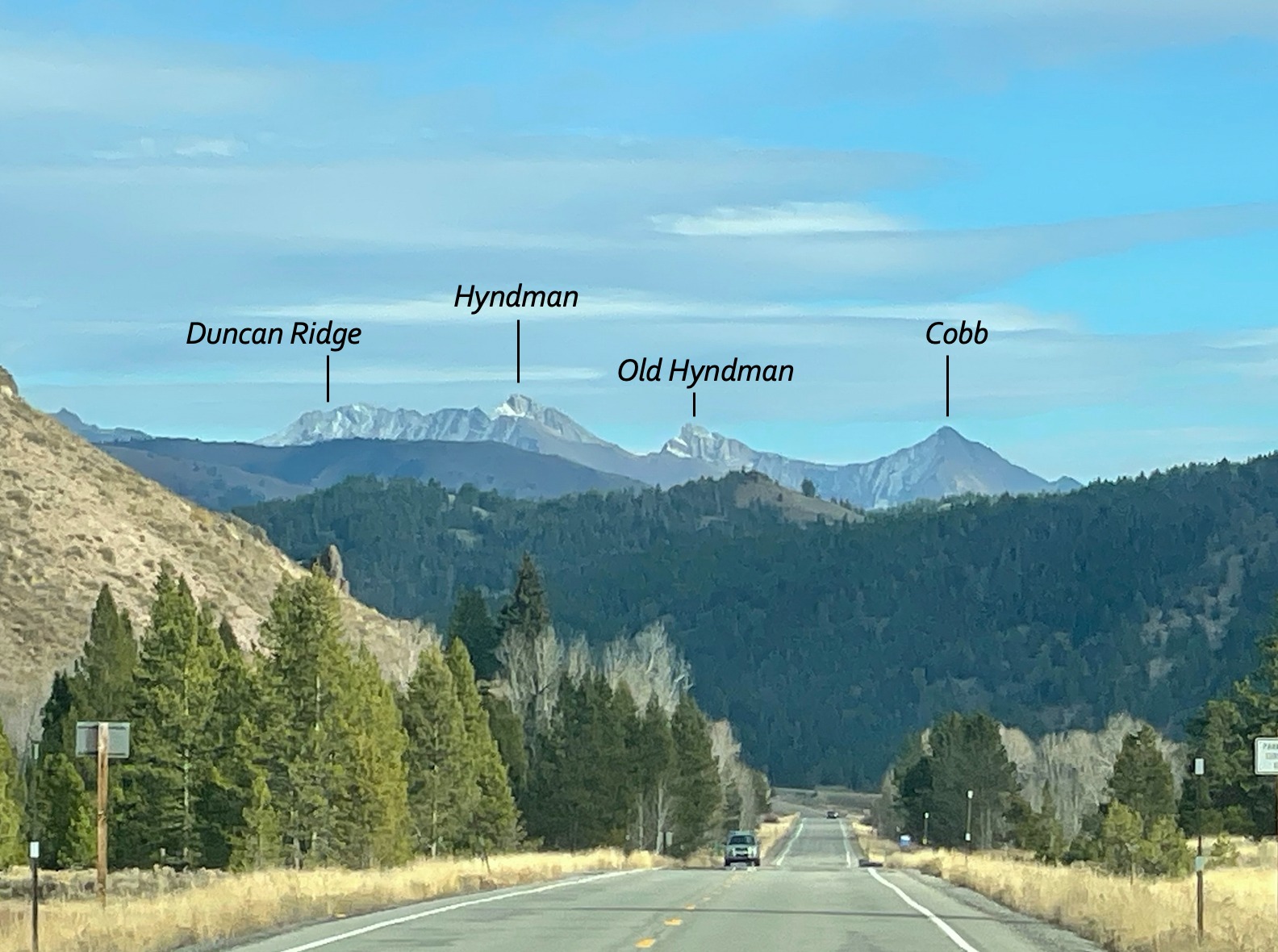
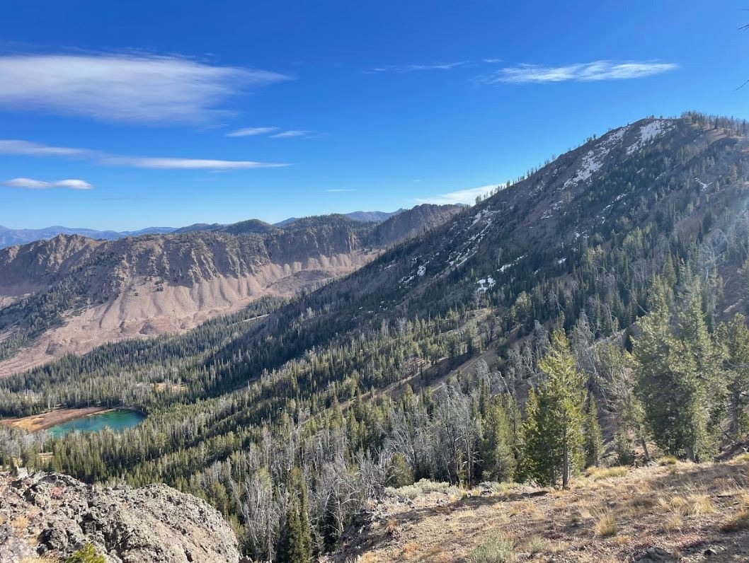
Travelling out along Titus Ridge from Galena Summit it was apparent that while there is some snow on higher elevation shaded northerly aspects, that it is quite isolated in the Galena Summit & Eastern Mountains Zone as we prepare for this week's storm. Walking along the ridge, the lowest elevation I encountered thin patches of snow was at 9400', just before reaching the top of first bump. The largest of patches were roughly 8'x5', only 2cm thick, and just beginning to facet . Northerly aspects of ridgelines both in the Titus Lake area, as well as out towards the ridgeline from Galena Peak towards Easley held isolated patches of snow. While driving back and forth to town I was able to spot minimal snow on northerly aspects of other peaks within the zone as well with a spotting scope (see photos) with the Pios holding the most snow at this time.
The moral of the story at this time is that while there are isolated patches of snow within the Galena & E. Mountains Zone, we largely are starting with a clean slate in the majority of the range. However, it is important going forward to keep a mental map (and photos!) of early season snowfall as it comes in — such as the system coming in this week on Tuesday evening (10/24) — when there are periods of high pressure, or clear weather, between the first storms of the season. The Pioneer Mountains are a great example of a place to watch right now. Why care about small snow patches if they aren't large enough to take your rock skis out on yet? The snow surfaces of yesterday are the slide surfaces of tomorrow. This means that if there is a significant amount of snow left in the mountains from this upcoming storm, that it might have a long time to sit out and facet, or weaken, before the next storm comes. While snow may melt from more solar southerly aspects, the more shaded northerly aspects might not get enough sun exposure to totally clear the slate, leaving snow lingering. This weak snow could pose a problem when a sizeable amount of fresh snow is added on top, creating a weak layer for the storm snow to slide on. Without knowing how exactly the first storm system of November will pan out, now is a great time after this short system comes in to pay attention to where our potential facets of tomorrow live heading into the season.