
Quick report
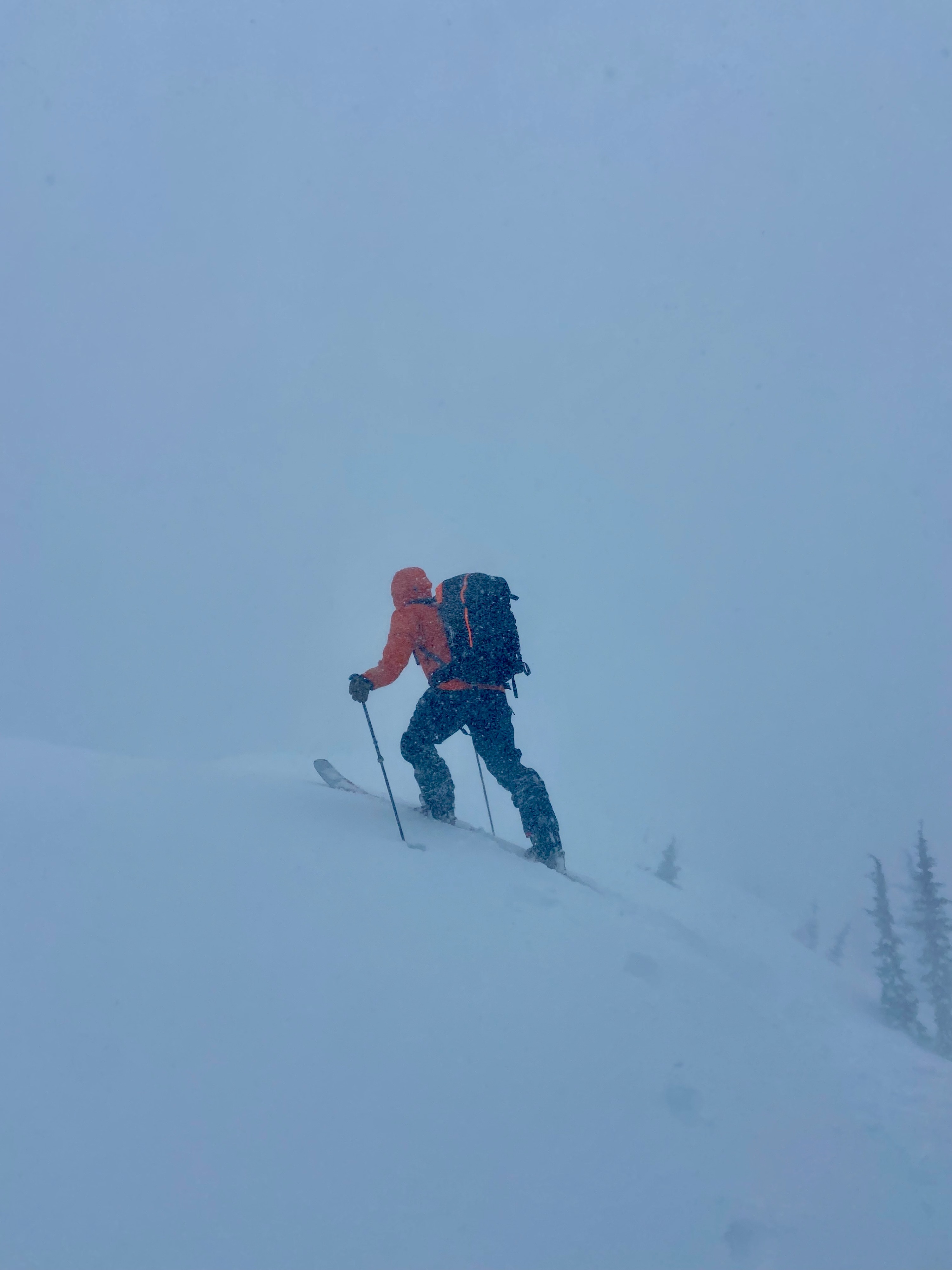
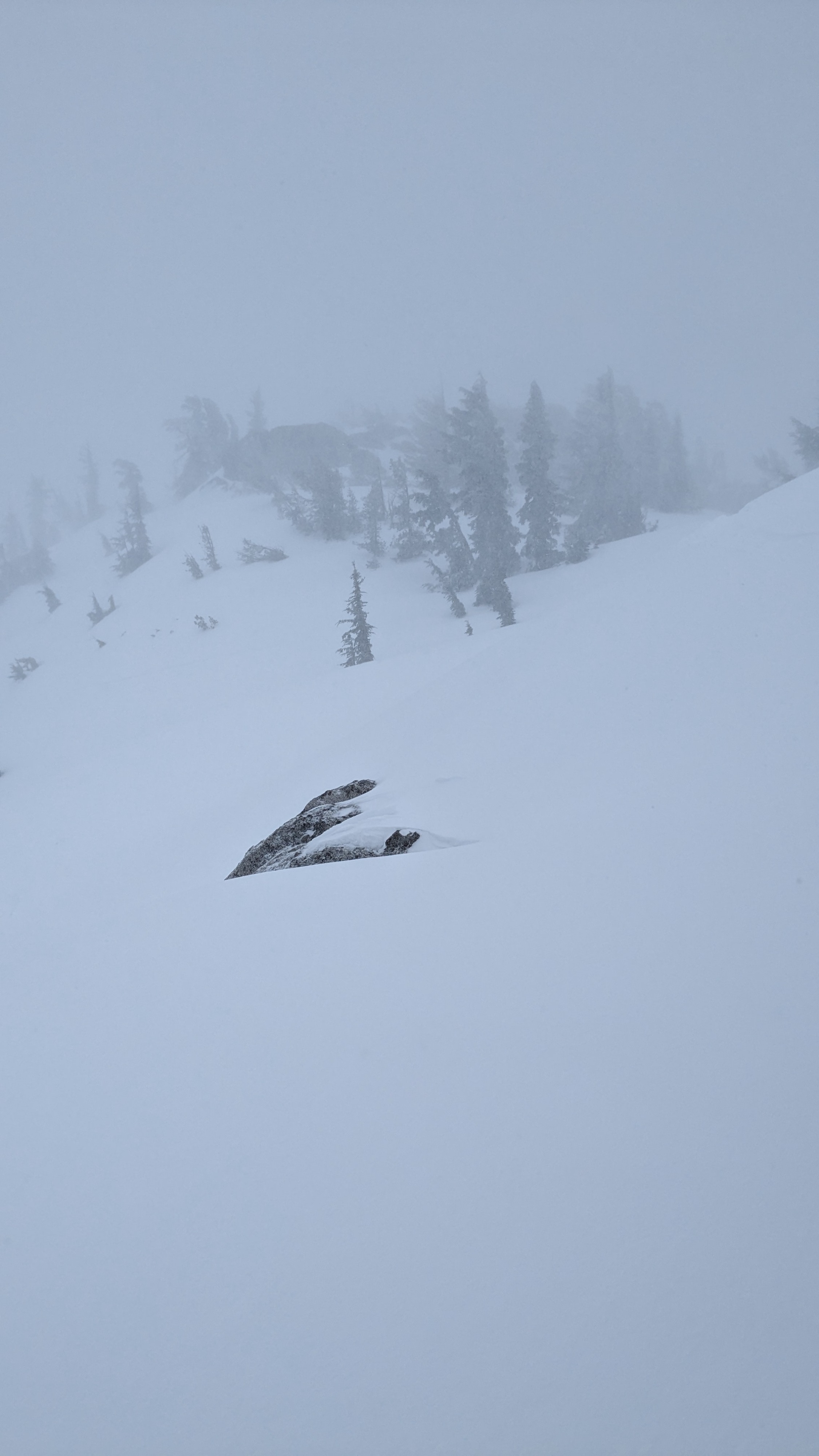
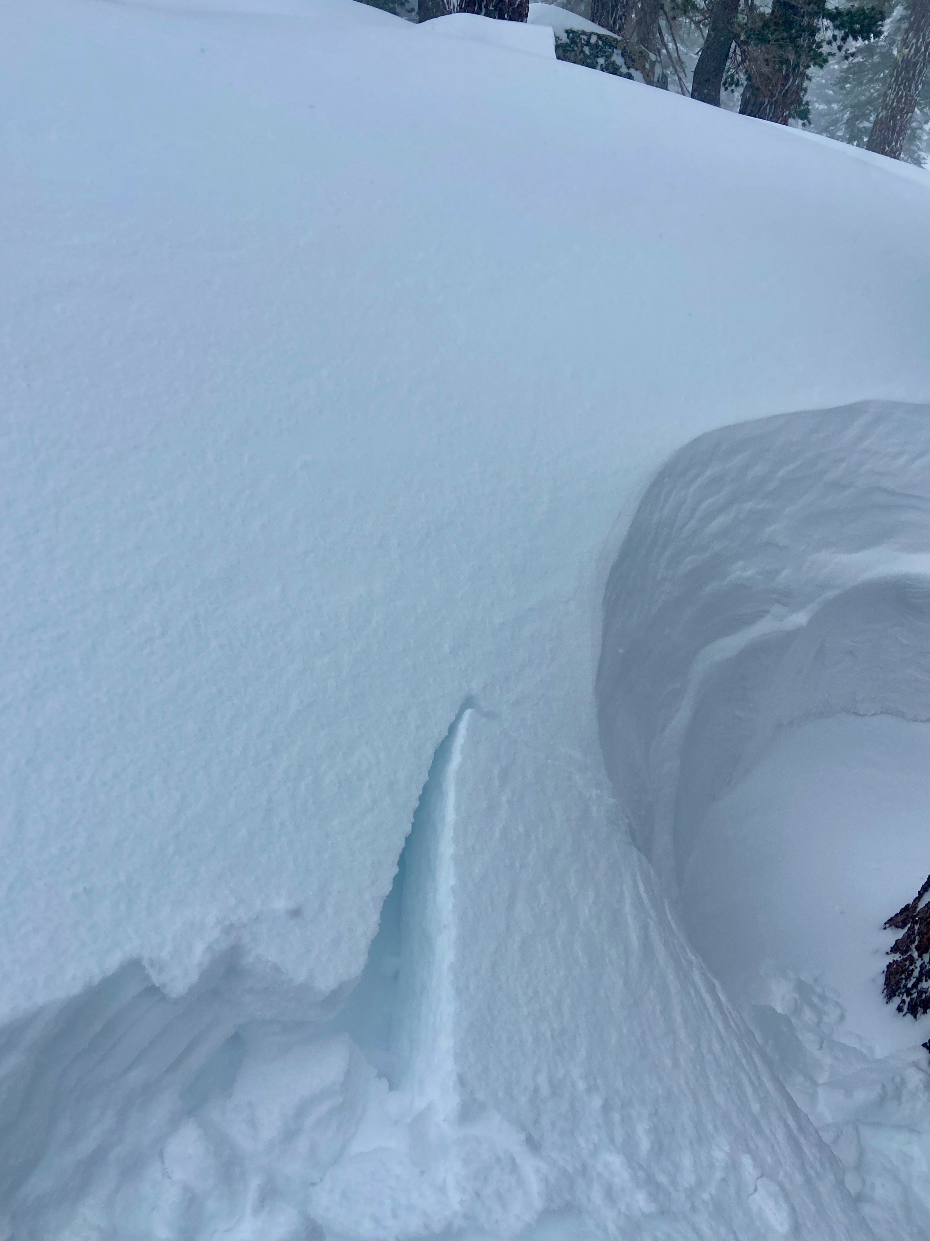
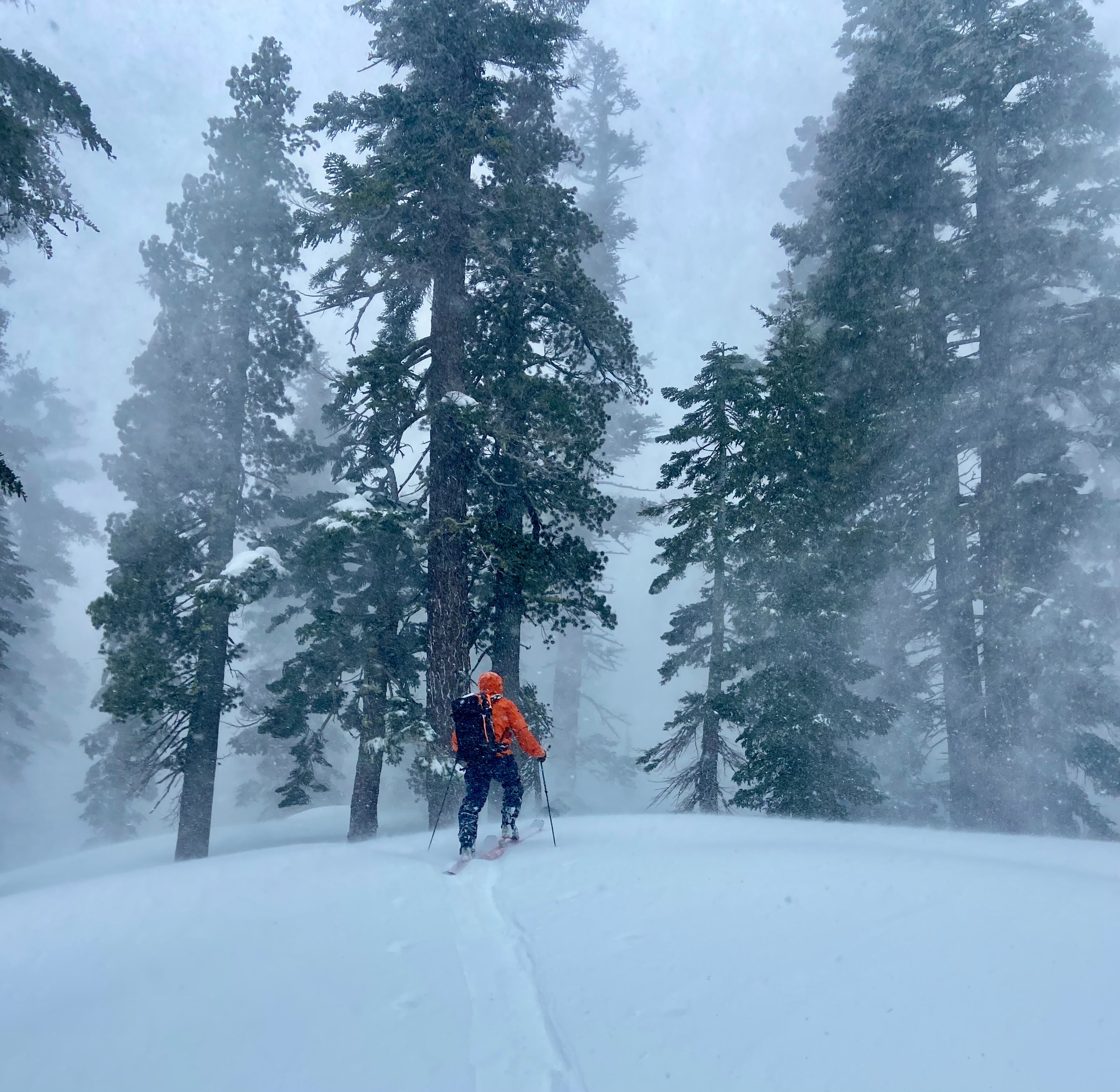
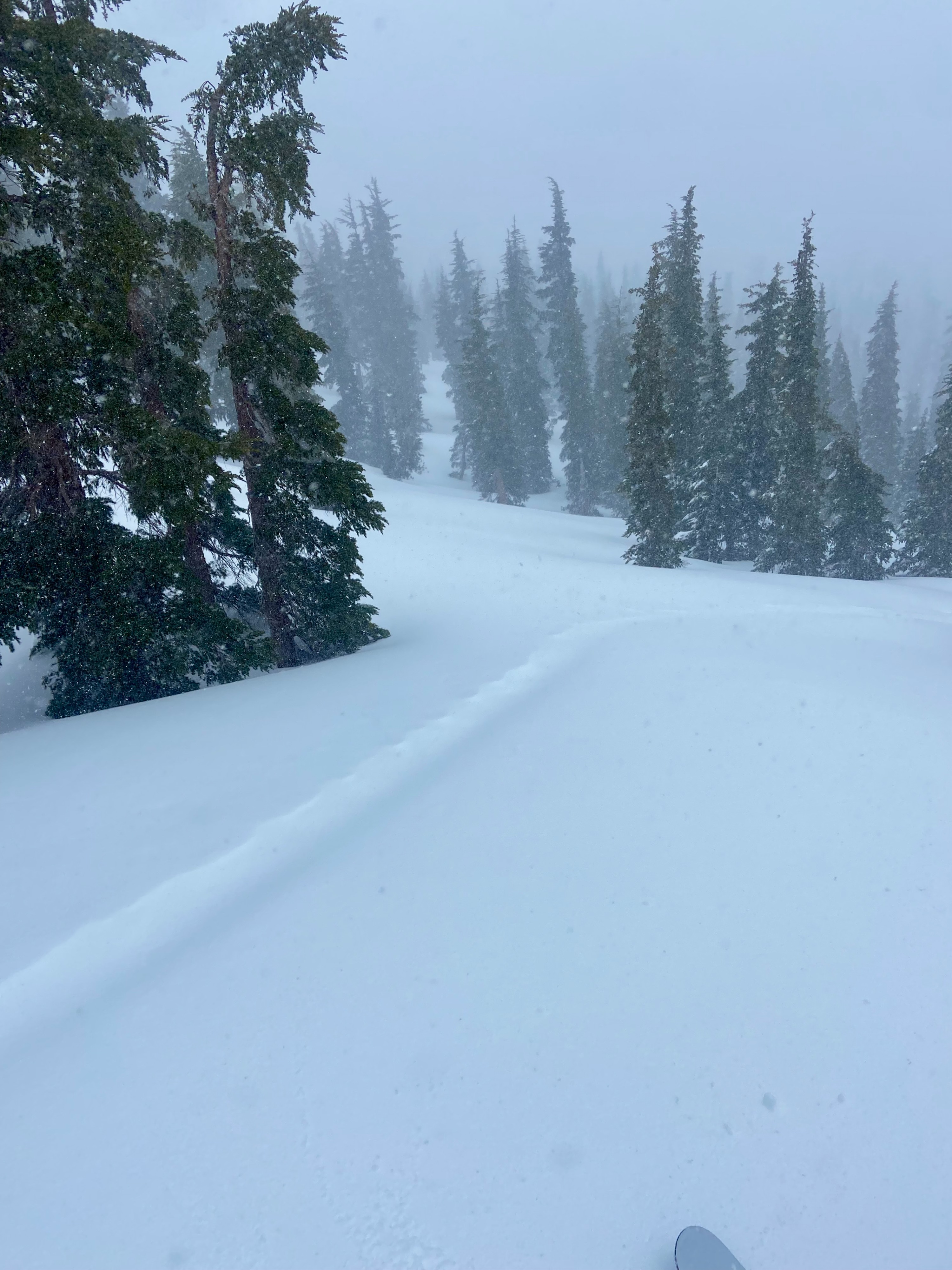
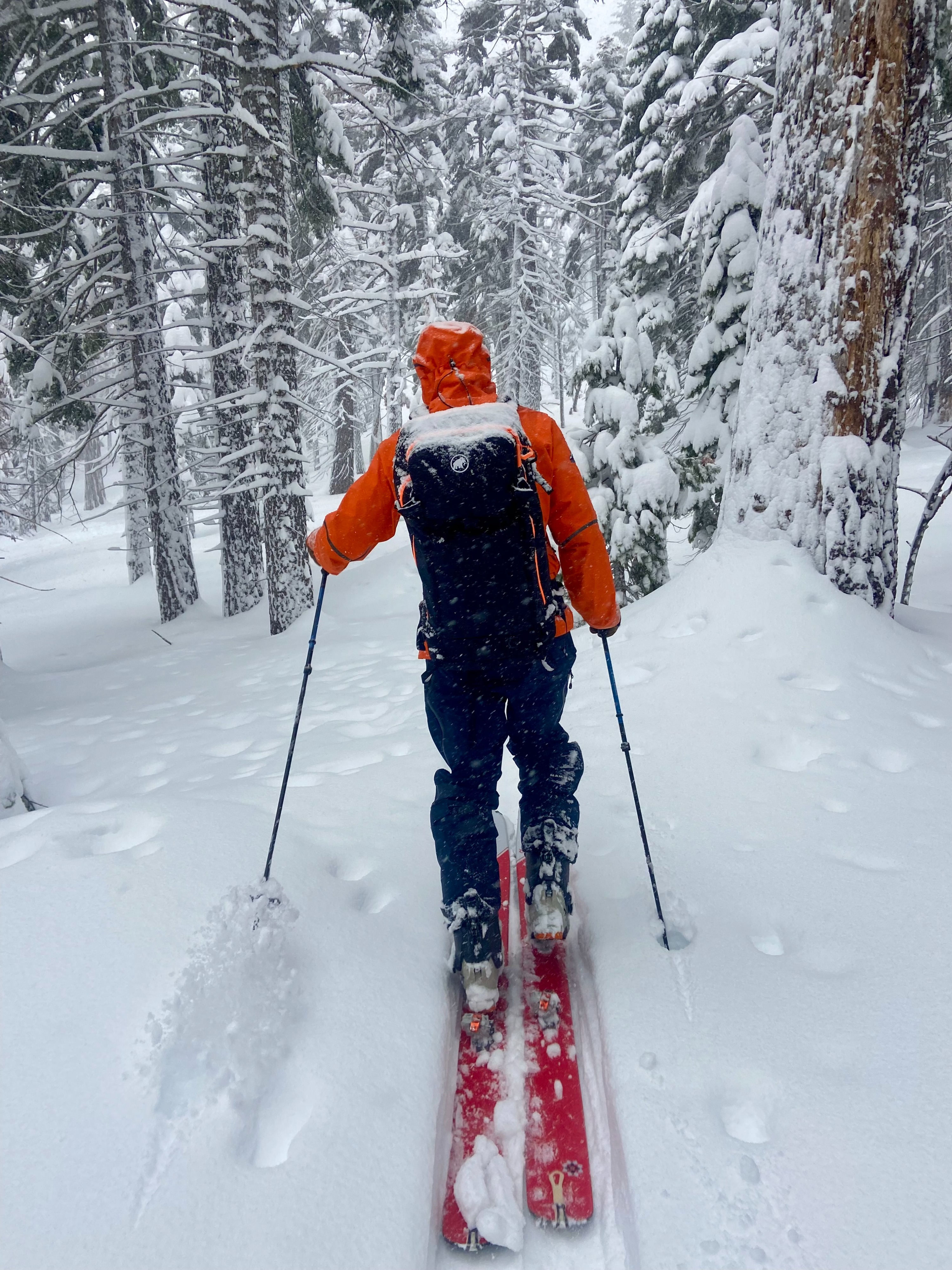
The trailhead held ~12" of heavier storm snow this morning and winds were blowing moderately. As we gained elevation storm snow predictably decreased in density and increased in depth, toping out in the 20-24" range. We were able to locate graupel layers near the base of the recent storm snow around 8,000'. Winds were strong at mid elevations and gale force on the ridge. These powerful winds combined with current and previous snowfall made for significant snow transport and occasional very limited visibility. Assessments aimed at targeting wind loaded test slopes produced minimal results. Ridge top wind slabs were shallow ~4-6" and extended only a few feet onto leeward terrain. We were able to produce some minor cracking on an undercut convexity that failed ~18" on the recently buried melt / freeze crust. But in general wind slab development was light in this area. The combination of heavy / gale force winds and slightly warmer temperatures resulted in a slightly denser, very mildly compacted storm snow.
Weather
- Air Temp
- 30
- Cloud Cover
- overcast
- Wind Loading
- intense
- Recent Snowfall
- 12-24"
- Snow Avail For Transport
- large amounts
At 10:00 am temperatures hovered around 30°F. Around noon there was a noticeable drop in temperature. Precipitation rates were generally light to moderate throughout our tour. Wind direction was predominantly SW but felt variable and speeds were moderate to gale force.