
Quick report
- Cracking
- specific
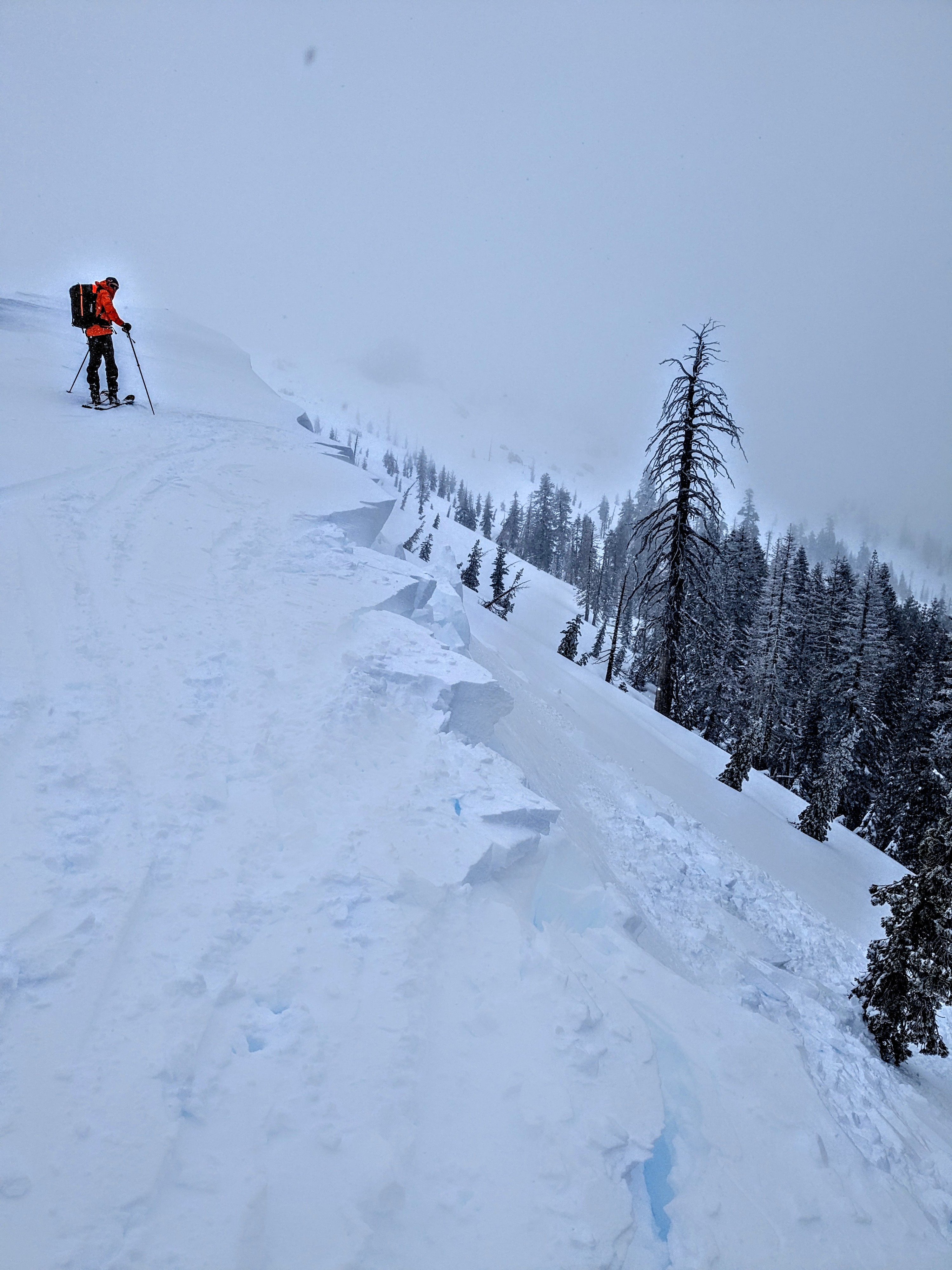
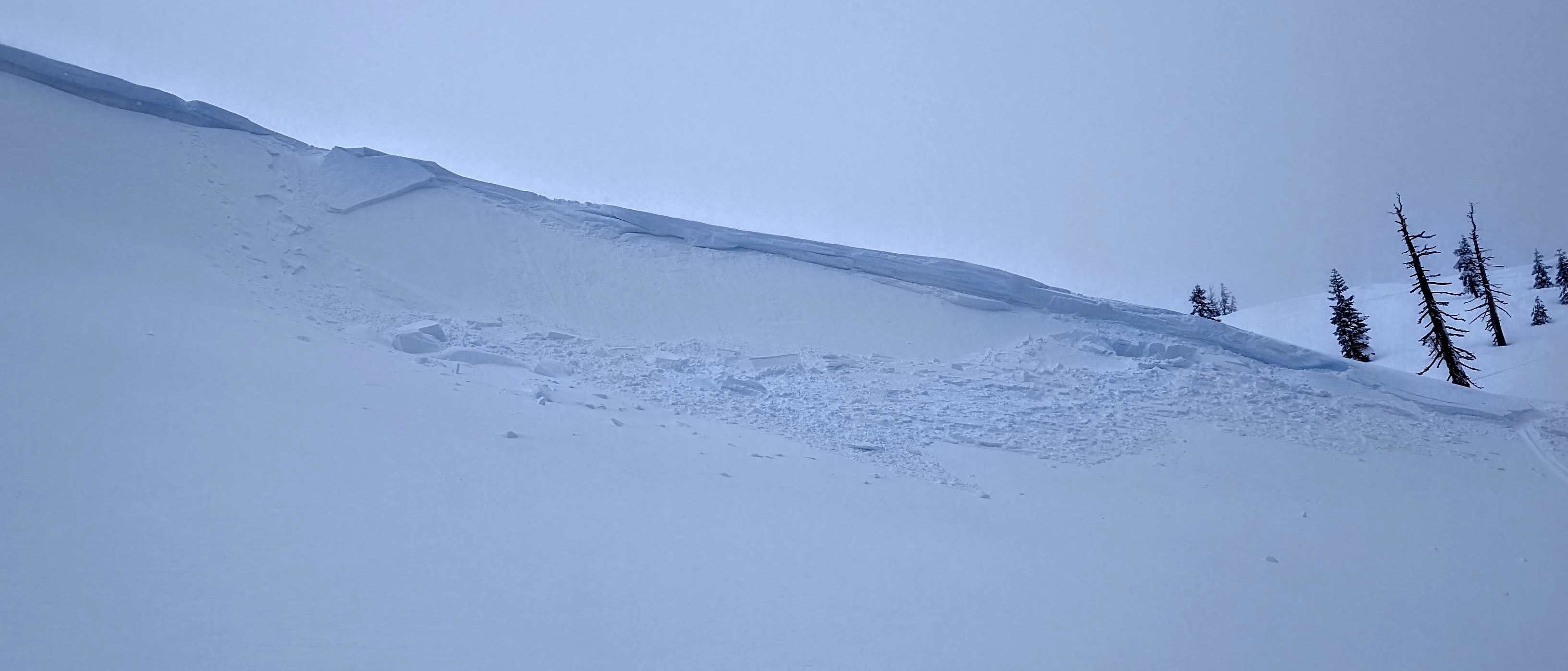
We toured the SW Ridge of Castle Peak and the E slopes of Andesite Peak today. There was a significant improvement in stability in this area over the past 24 hours. Reports are coming in that this was not the case everywhere today with multiple large avalanches triggered below treeline on Jake's Peak and Hidden Peak (West Shore Tahoe).
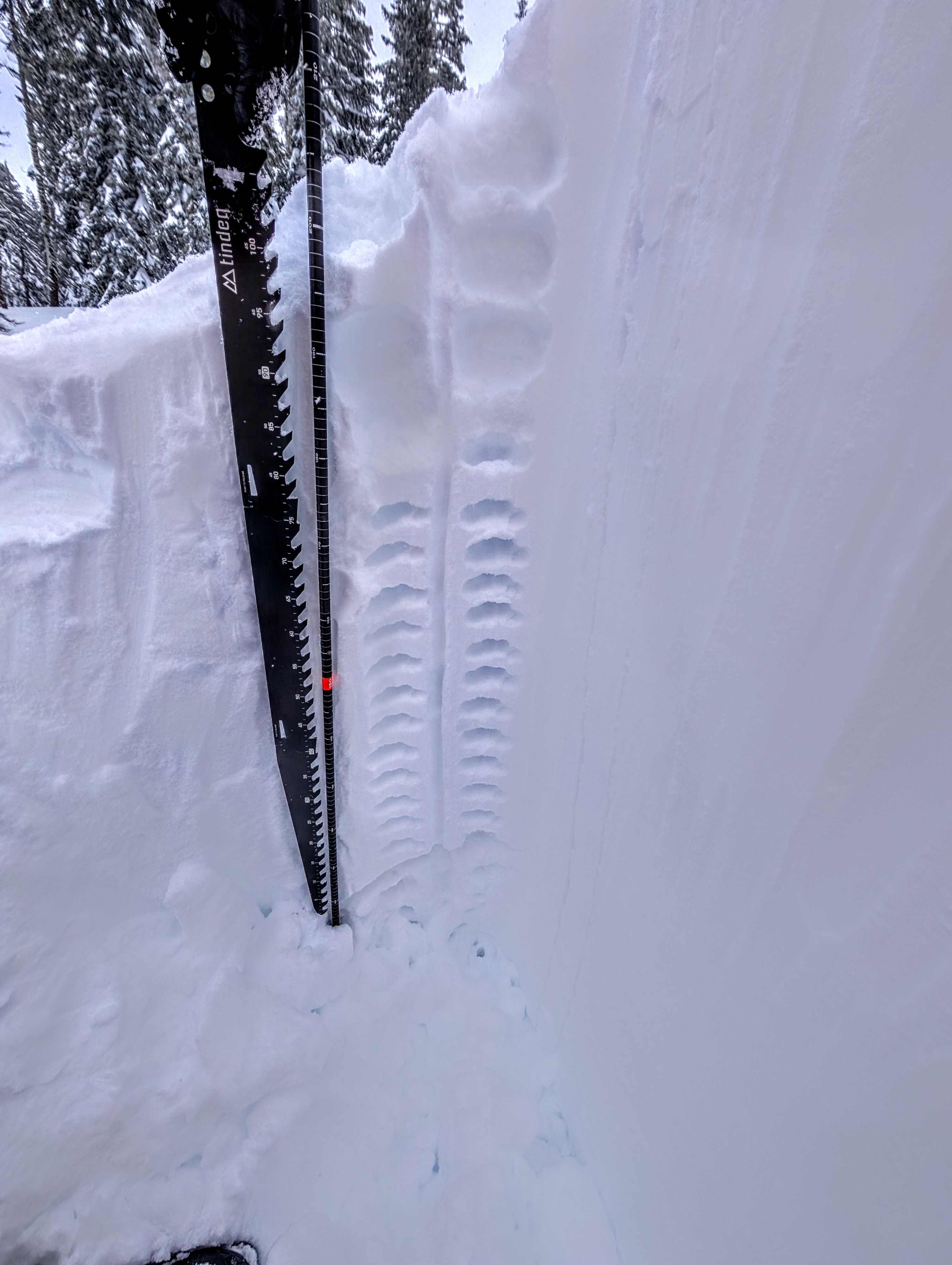
At 8,000' there was 115 cm of recent storm snow, all right side up and mostly 4F, indicative of the 5+ inches of SWE within the new snow. We checked stability in several areas that were likely to hold surface hoar, both on slopes that failed yesterday and ones that did not. We triggered no collapses or cracking while moving across a variety on N to E aspect terrain. We were unable to see any continued weakness at the old/new snow interface in this specific area.
Cornices were large and fragile, but only a small minority of the ones we intentionally collapsed triggered and slab failure when landing on the slopes below. We triggered a couple of 6 inch deep wind slabs with very little down slope extent. Not much of a wind slab problem in this area today.
The avalanches we observed were mostly all from yesterday. We were able to trigger some isolated, shallow wind slab test slope failures failures today.Weather
- Cloud Cover
- overcast
- Wind Loading
- none
- Recent Snowfall
- 115
- Snow Avail For Transport
- large amounts
Light to moderate speed winds with a notable absence of drifting snow. Snow rate S1 during the morning, decreasing to less than S1 to nil during the afternoon hours.