
Quick report
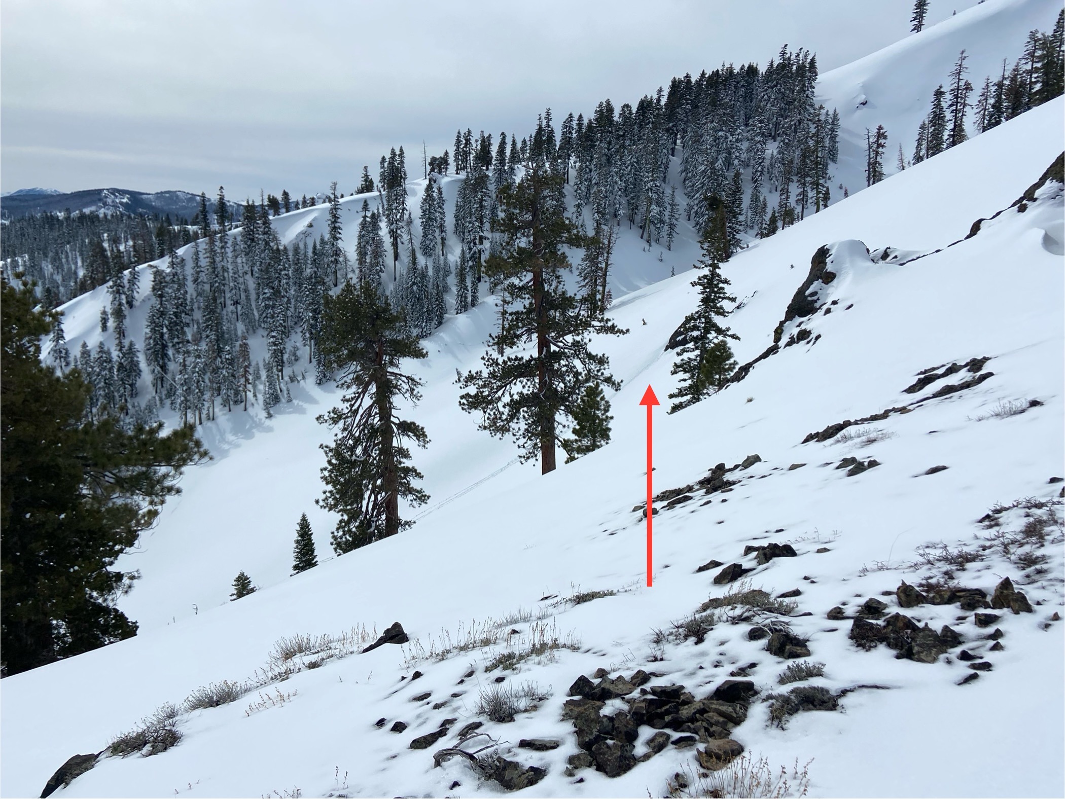
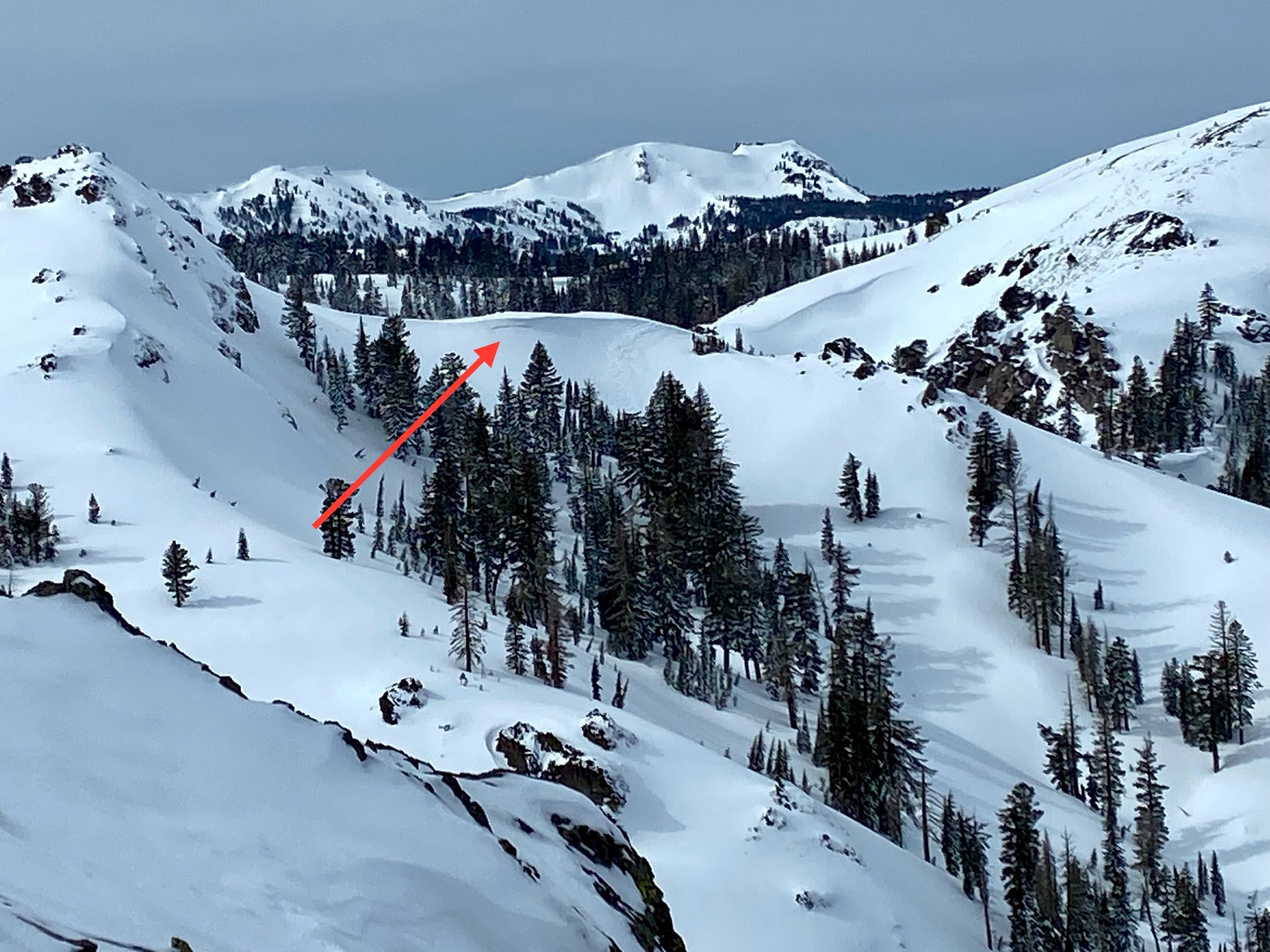
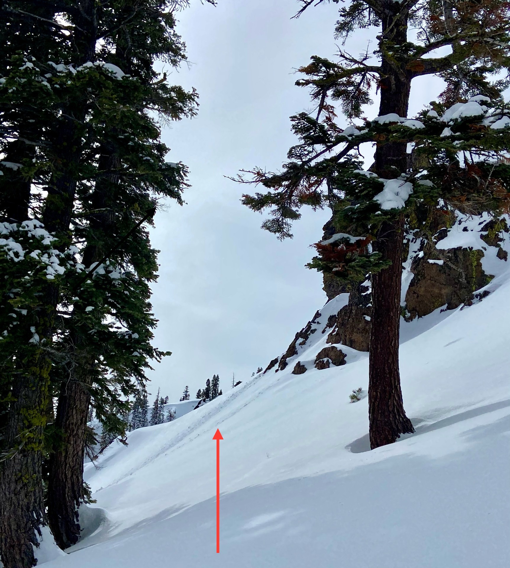
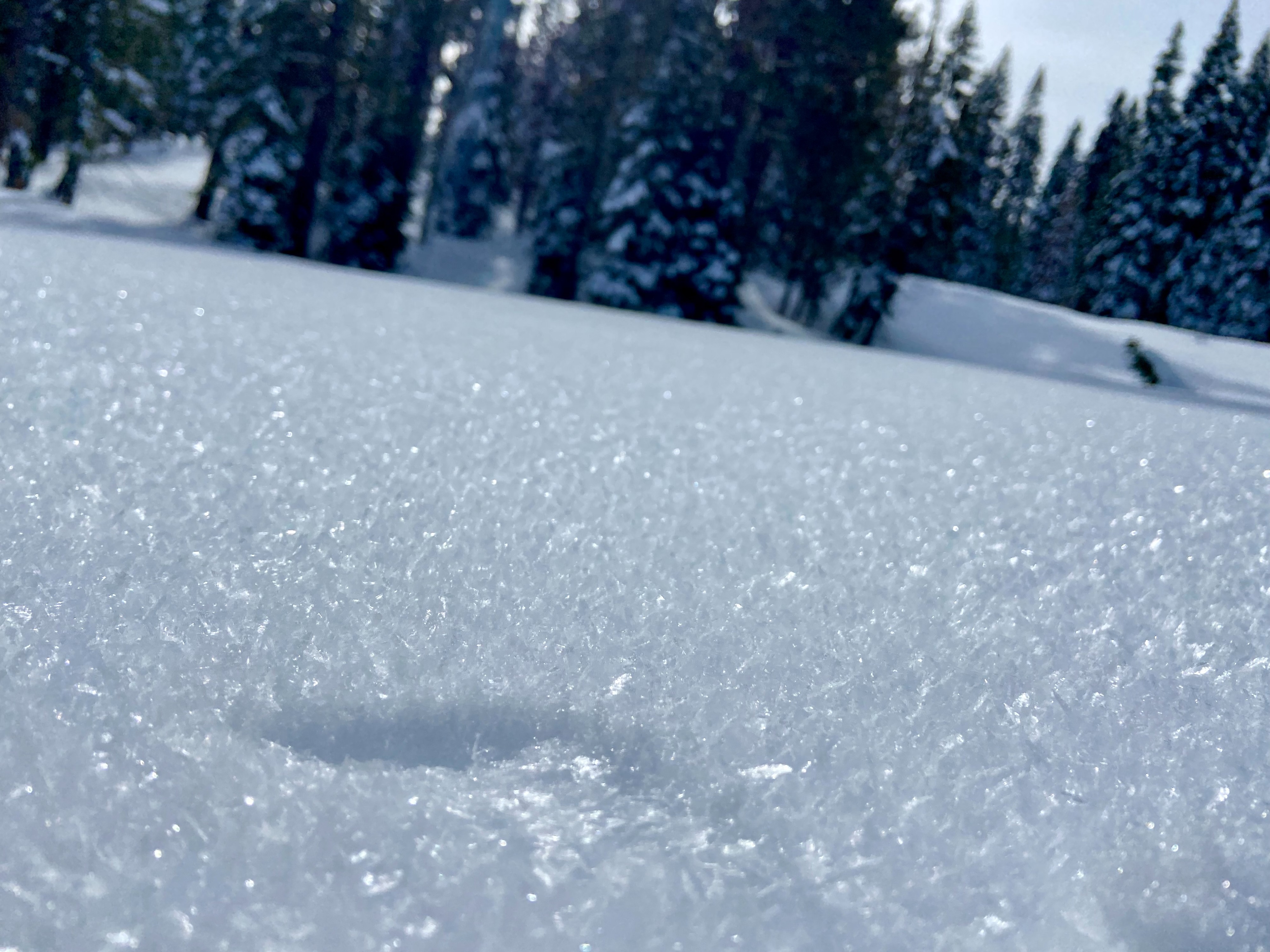
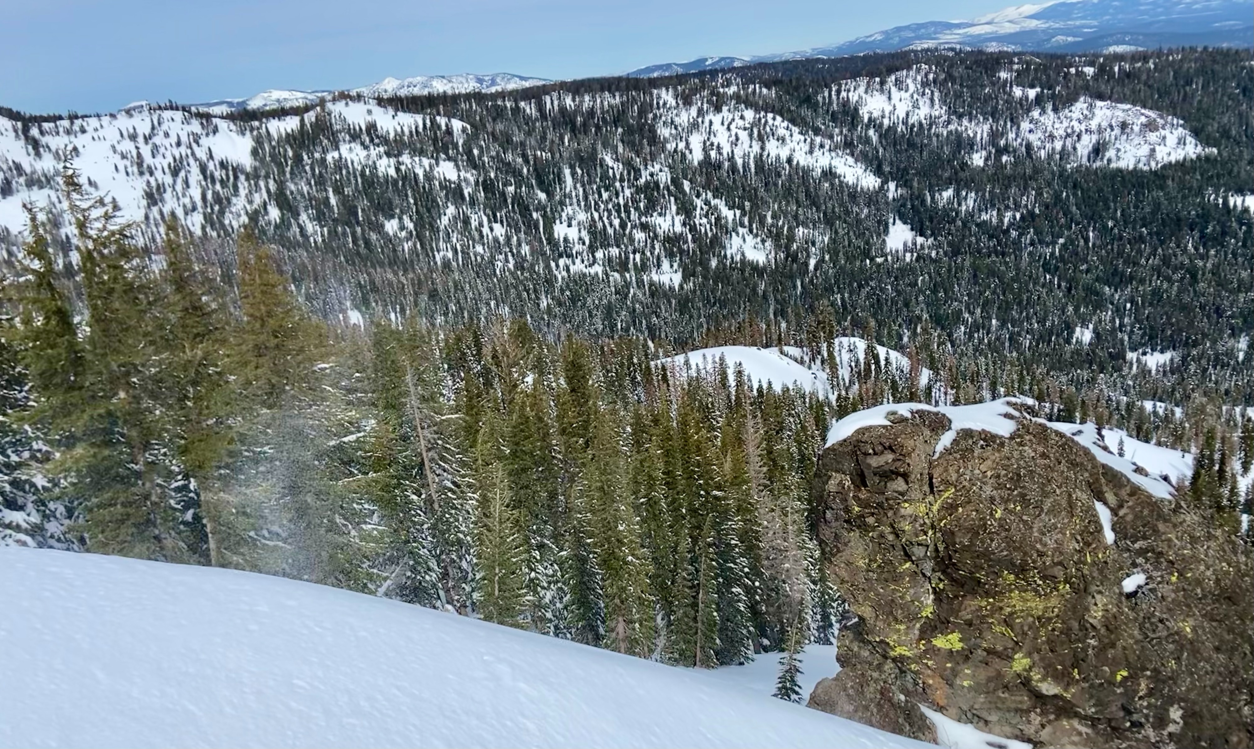
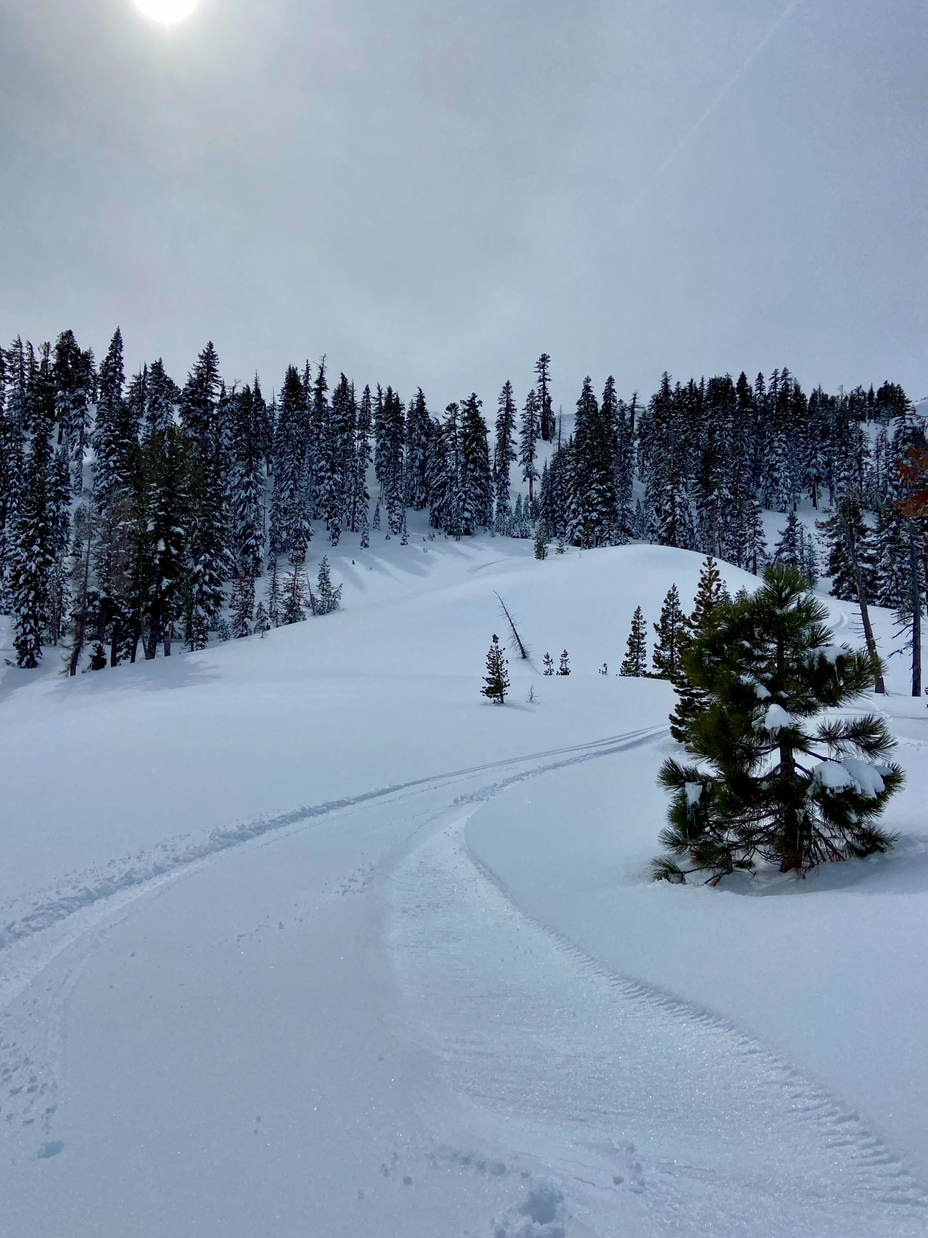
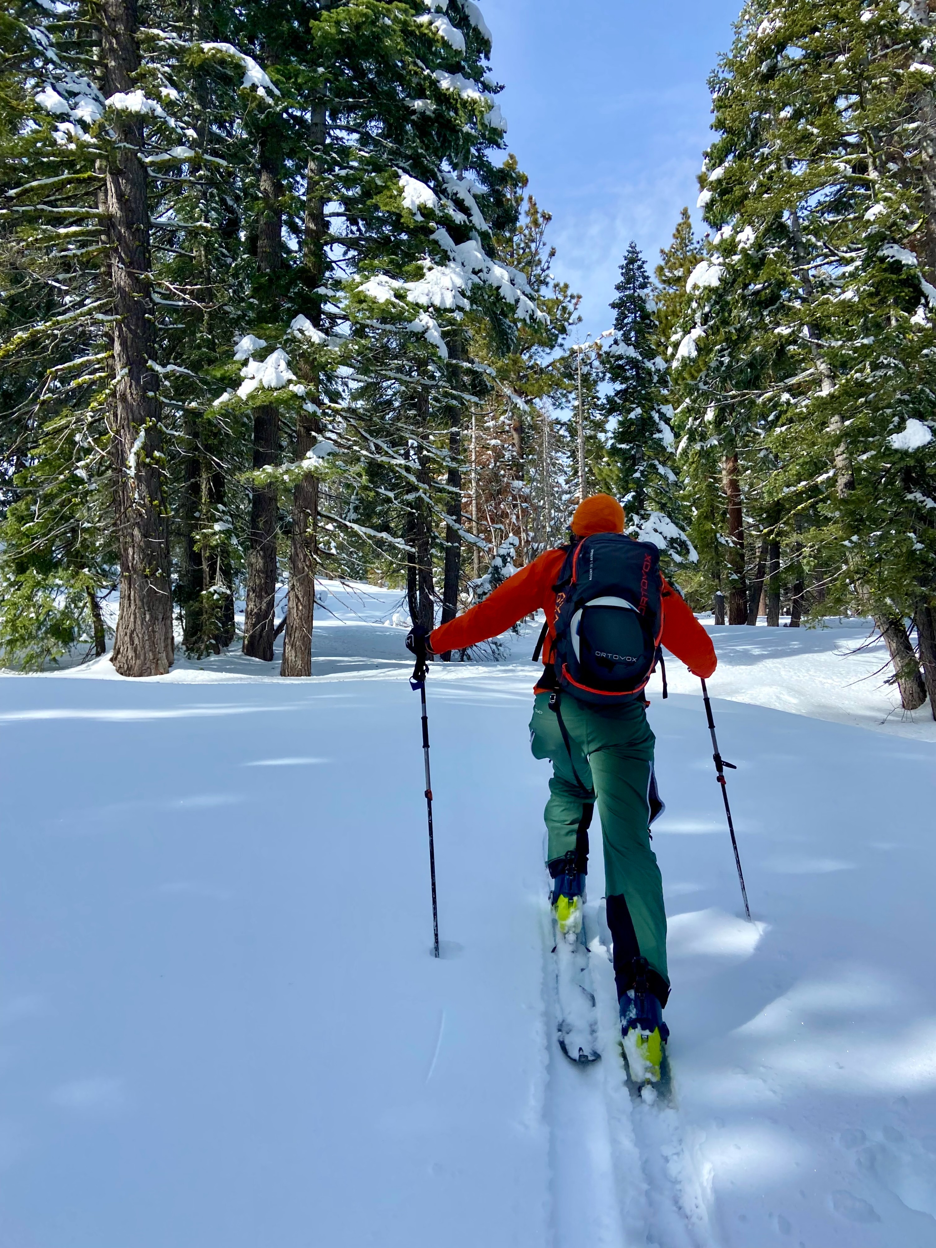
Minimal sings of instabilities were observed on our tour today. The combination of overcast skies coupled with stronger than forecasted winds kept snow surface warming lower than anticipated. These conditions resulted in fewer wet loose instabilities than were possible with the weather forecast. We observed small roller ball activity below E facing rock features near 8,000' but that was the extent of wet loose instability observations. Winds were peculiarly variable and we noted snow transport on Lyon Peak and Nat Geo Bowl out of the E and snow transport from the S on Silver. From the summit of Silver we were able to discern an older wind slab avalanche. Surface hoar was present at many locations and elevations. Transitional wet sticky snow was present on all aspects below 7,000' by the afternoon and up to 8,000' on S, SE aspects. On N aspects above 7,000' snow was still hanging in the trees and conditions were still cold and unconsolidated.
Weather
- Air Temp
- Above freezing
- Cloud Cover
- overcast
- Wind Loading
- light
- Rain Elevation
- NA
- Recent Snowfall
- 0
- Snow Avail For Transport
- small smounts