
Weather
- Air Temp
- 48
- Cloud Cover
- few
- Wind Loading
- none
- Recent Snowfall
- 0
- Snow Avail For Transport
- none
Mostly clear skies with warm temperatures and calm winds.
Snowpack
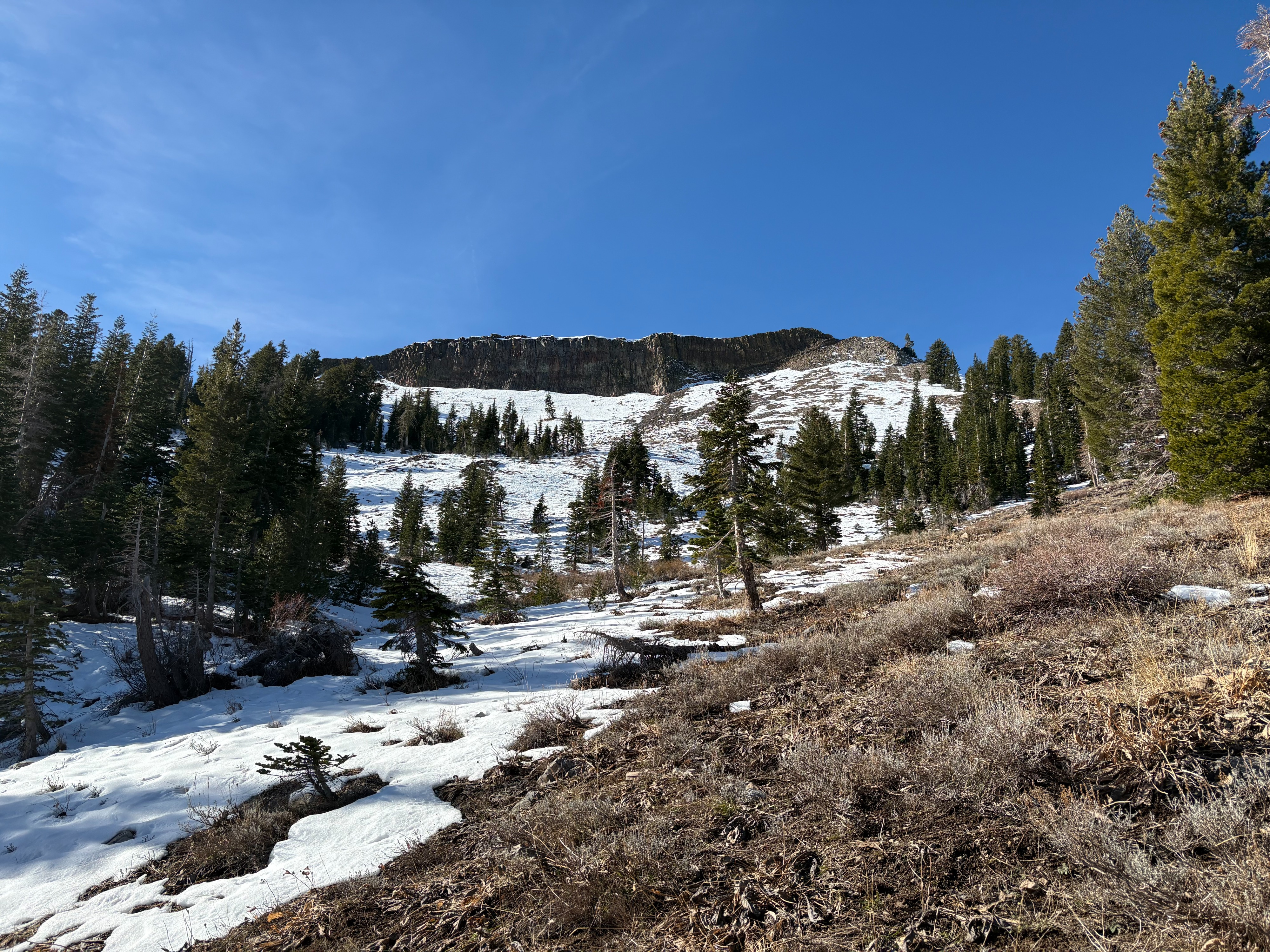
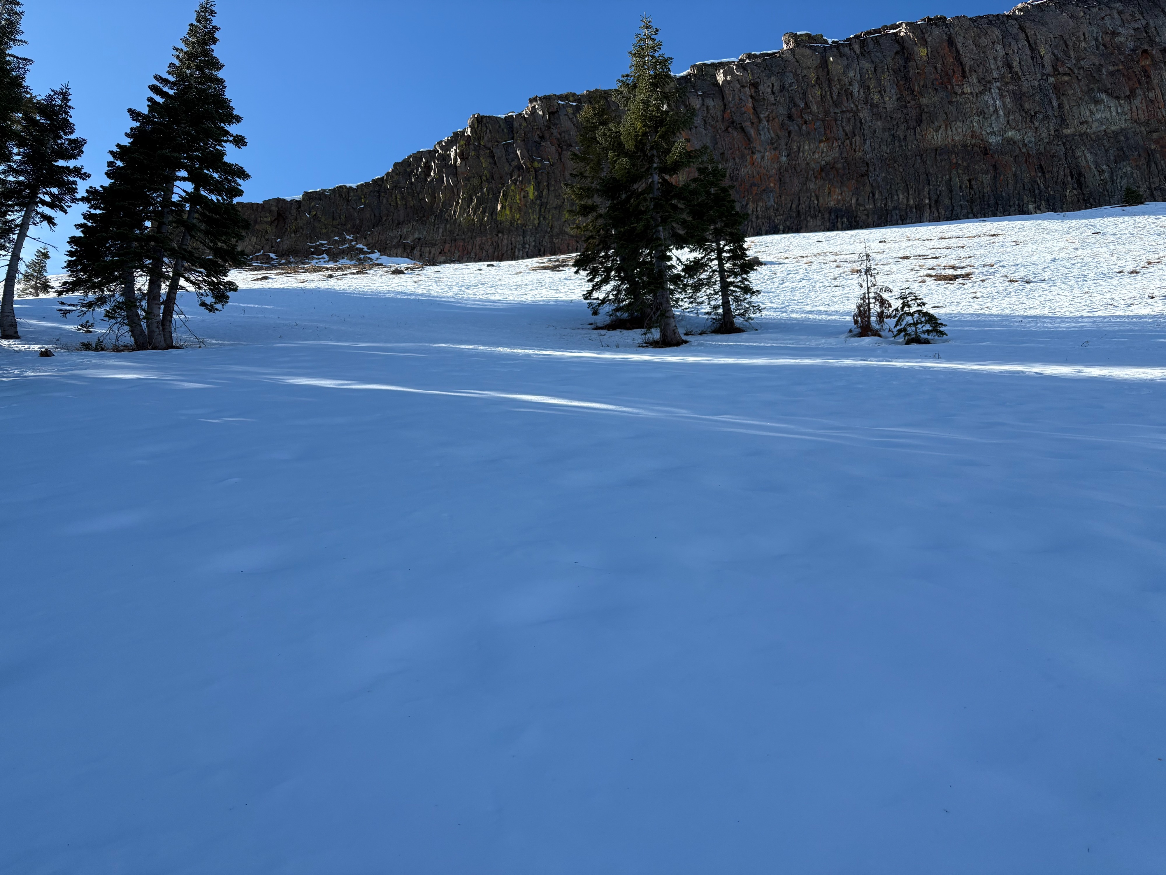
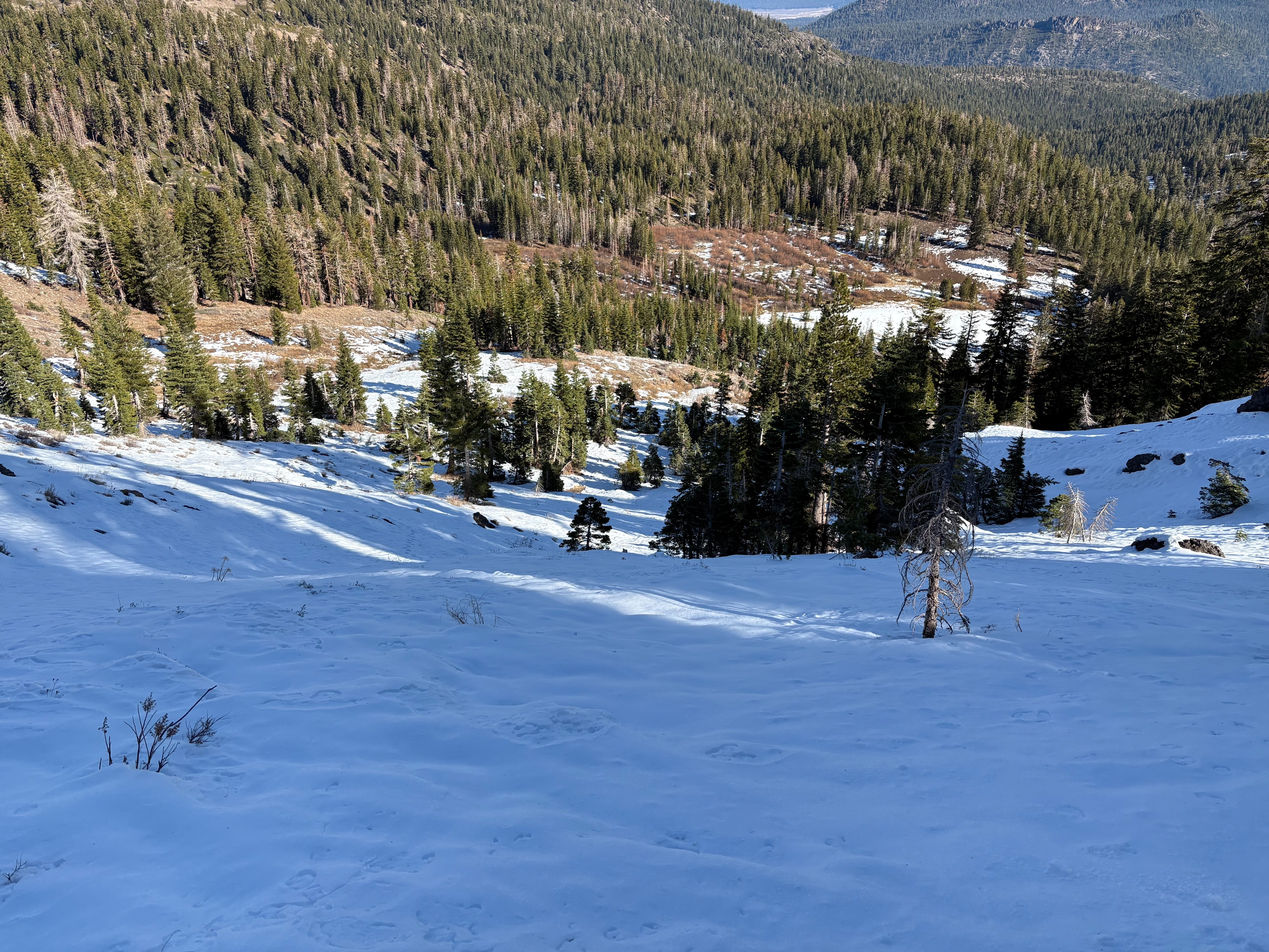
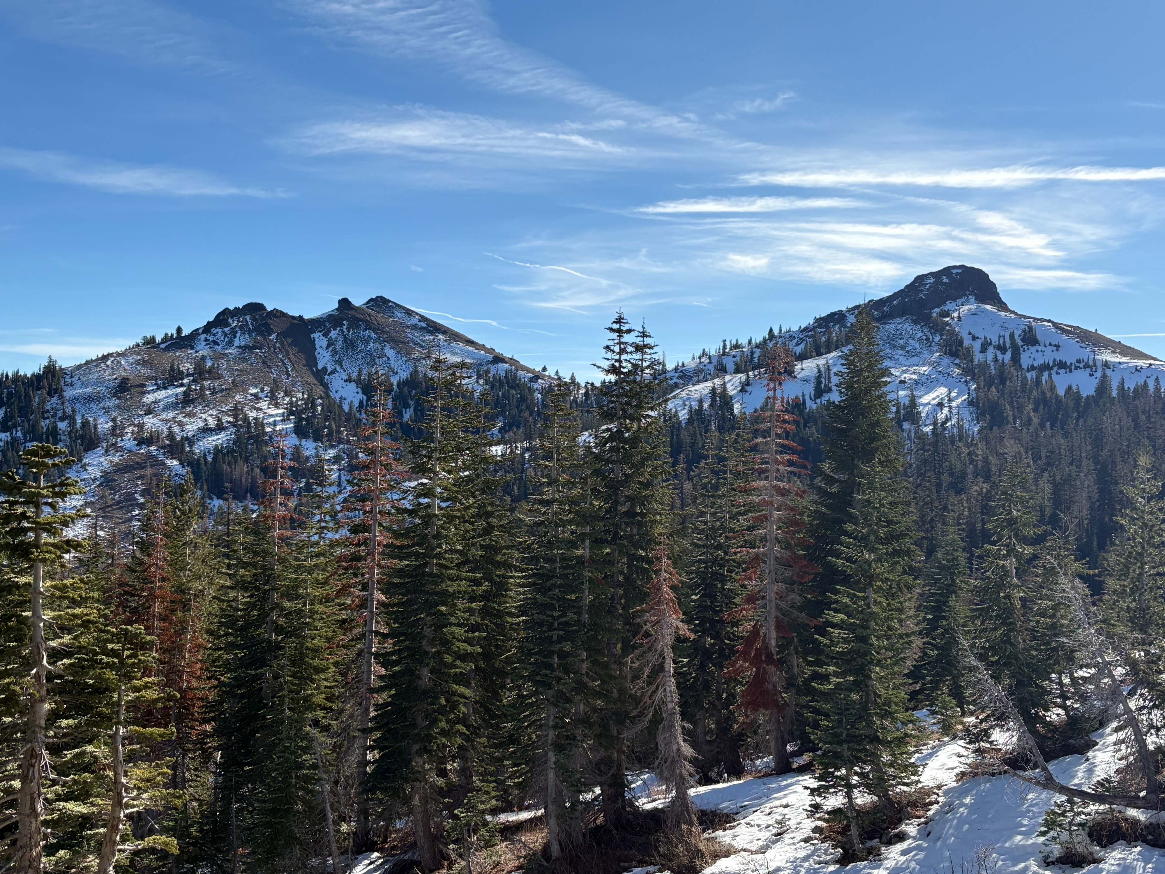
We went to Flattop Peak in upper Pole Creek to make snowpack observations today. Some snow started to appear in shaded areas above around 7400'. Areas with full sun exposure are mostly bare ground and dirt in this area. The snow got deeper near and above 8000' on N-NE aspects with around 1' of snow present. As aspects changed over to East, snow coverage decrease dramatically. Some wind scouring was present at the higher elevation wind exposed areas with less snow and more dirt and rocks showing. The snowpack here is similar to other areas we have observed along the Sierra Crest. A surface melt freeze crust was on top of weak faceted snow that has formed over the last 3 week dry spell. This faceted snow sits on top of a firm rain crust on the ground only on N-NE aspects above around 8000'. Clear skies, shorter days, and low sun angles have promoted the faceting process which is expected to continue until our weather pattern changes.