
Quick report
- Cracking
- Observed
Weather
- Cloud Cover
- overcast
- Wind Loading
- moderate
- Rain Elevation
- 5000
- Recent Snowfall
- 15
- Snow Avail For Transport
- moderate amounts
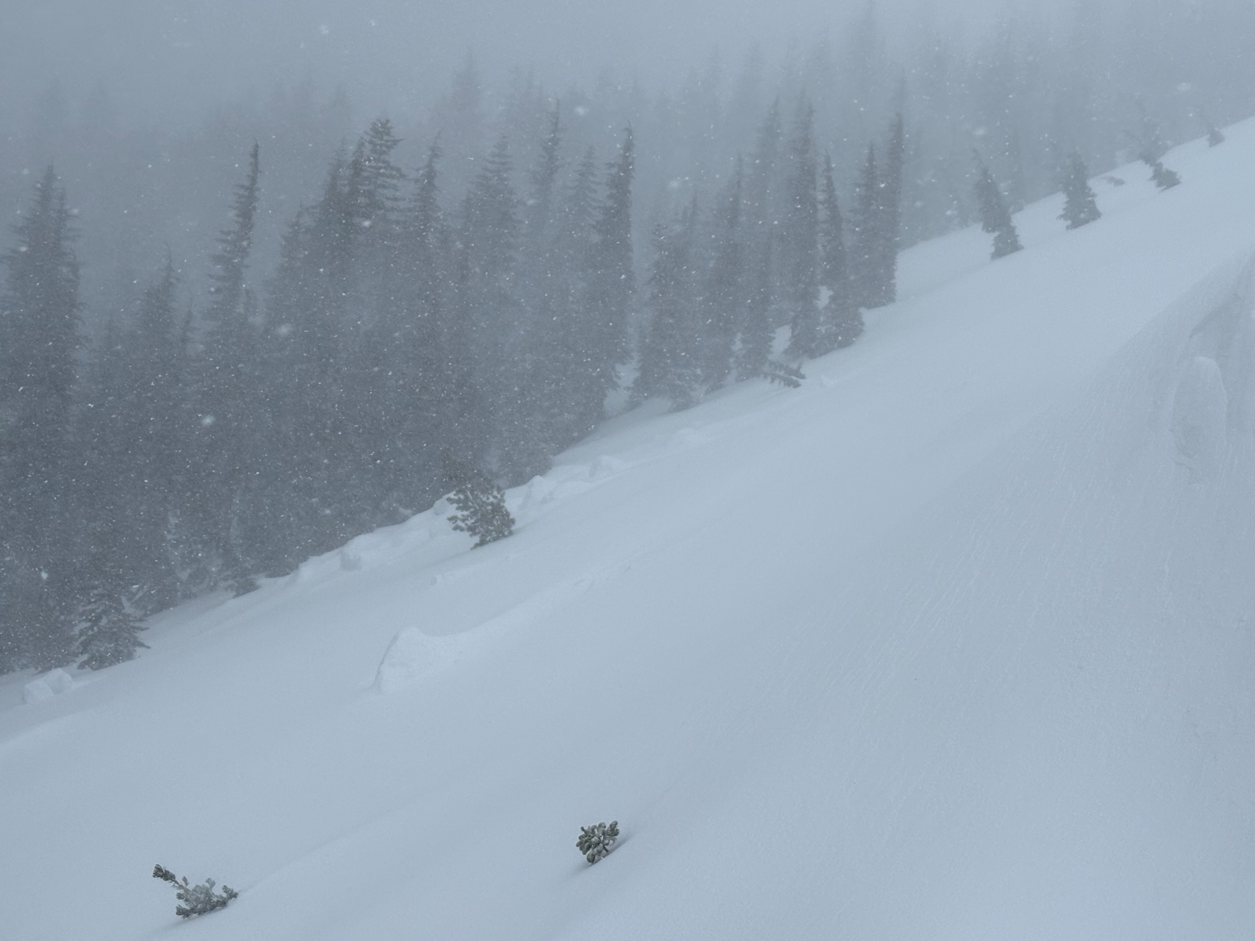
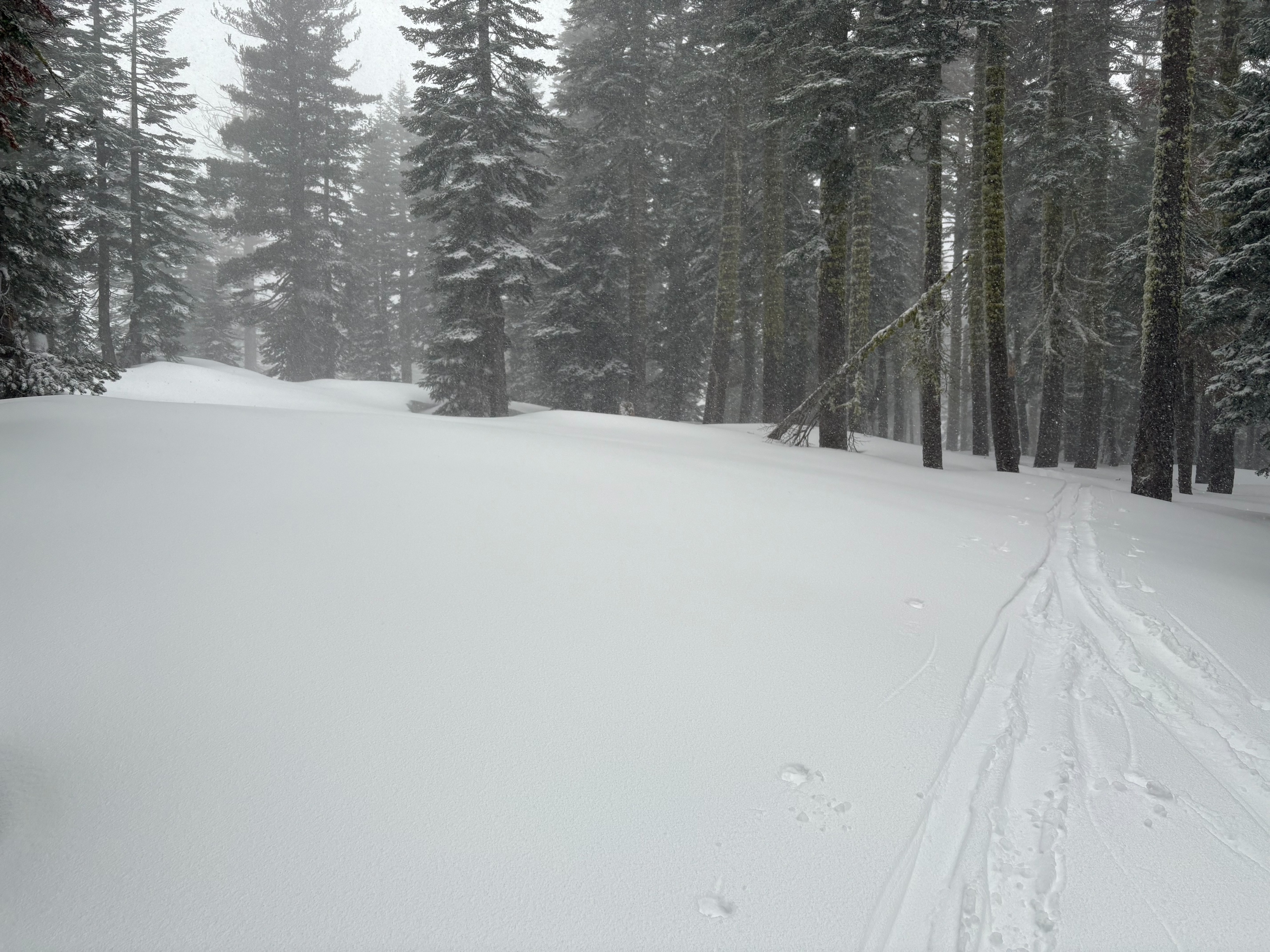
Light snow started around mid-morning with snowfall rates around 1''/hour. By mid-day, snowfall rates increased to 2''/hour +. SW winds were strong to gale force along the upper ridges with moderate amounts of blowing snow. Blowing snow observed was limited by the amount of new snow that had fallen at that point.
Snowpack
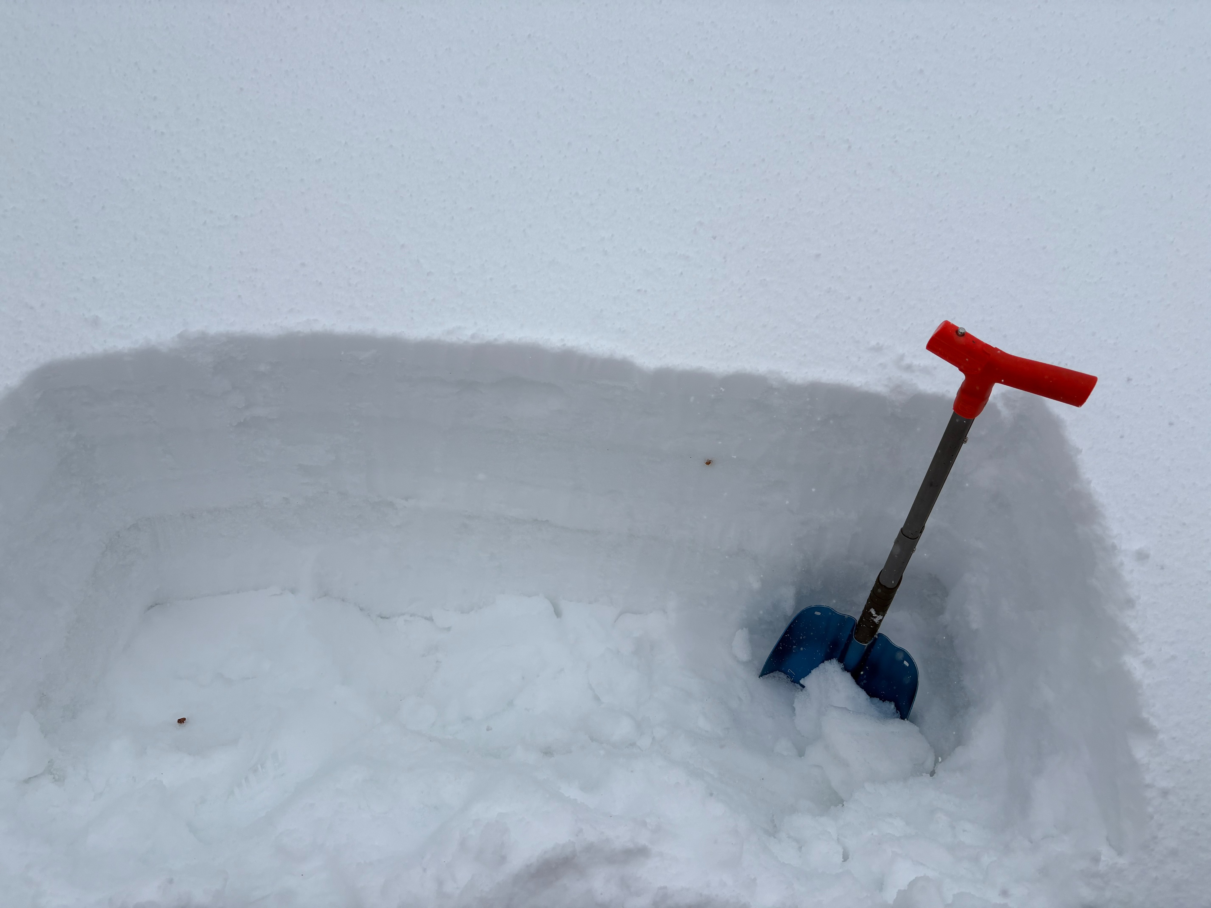
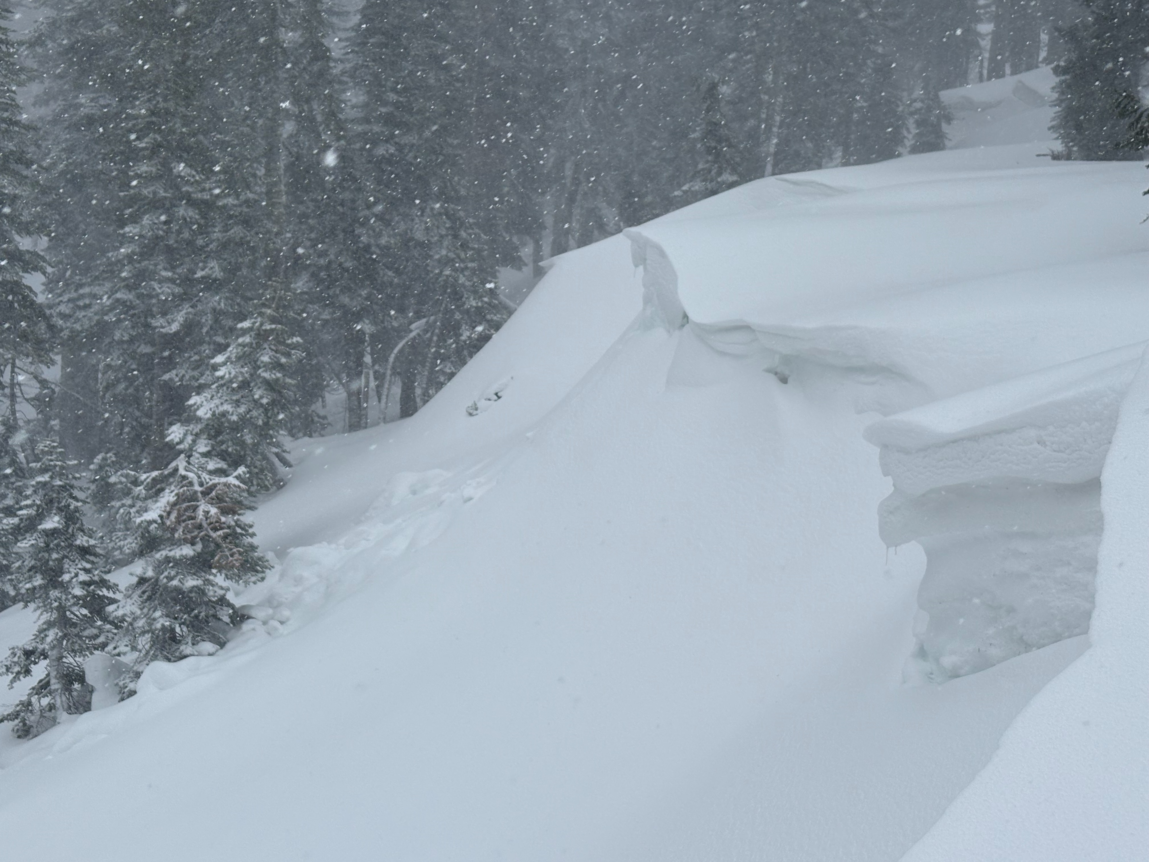
We went to Yuba Pass today to see the approaching storm enter the forecast area. Increasing wind and snow began mid-morning with snowfall rates increasing by mid-day. We were on the early side to see avalanche conditions become reactive. Snowfall rates increased by mid-day with around 6'' of new snow when we left in the early afternoon. Localized cracking occurred in wind loaded terrain with cornices cracking and breaking with ski kicks. At this point, we did not see any reactive wind slabs as they were still on the smaller size around 4 to 6'' deep. New snow was falling on a firm and mostly supportable rain crust from Wed, Jan. 1, with good bonding at this point. Snow levels dropped down to 5000' in the Sierra Valley in the early afternoon with increased snowfall rates.