
Quick report
- Cracking
- specific
- Collapsing
- specific
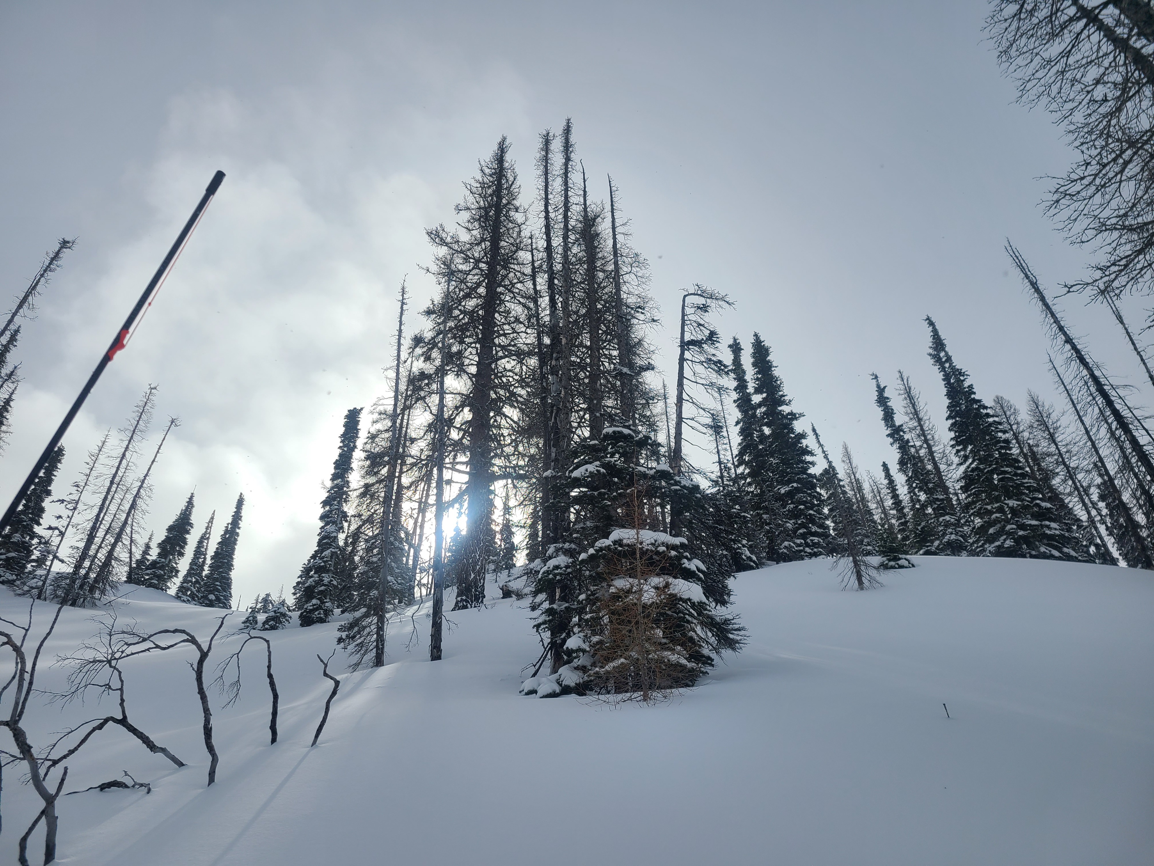
Katie and I were expecting a stormy outing to Blewett Pass, and ended up with relatively pleasant conditions. While we certainly experienced some wet precipitation in the form of rain and wet snow, we also were treated to sun breaks and not-too-sticky skiing at higher elevations. Above 4900 ft, there was enough dry snow for some limited wind transport while we ascended, in addition to the previous transport during the last storm which formed numerous wind lips and drifts.
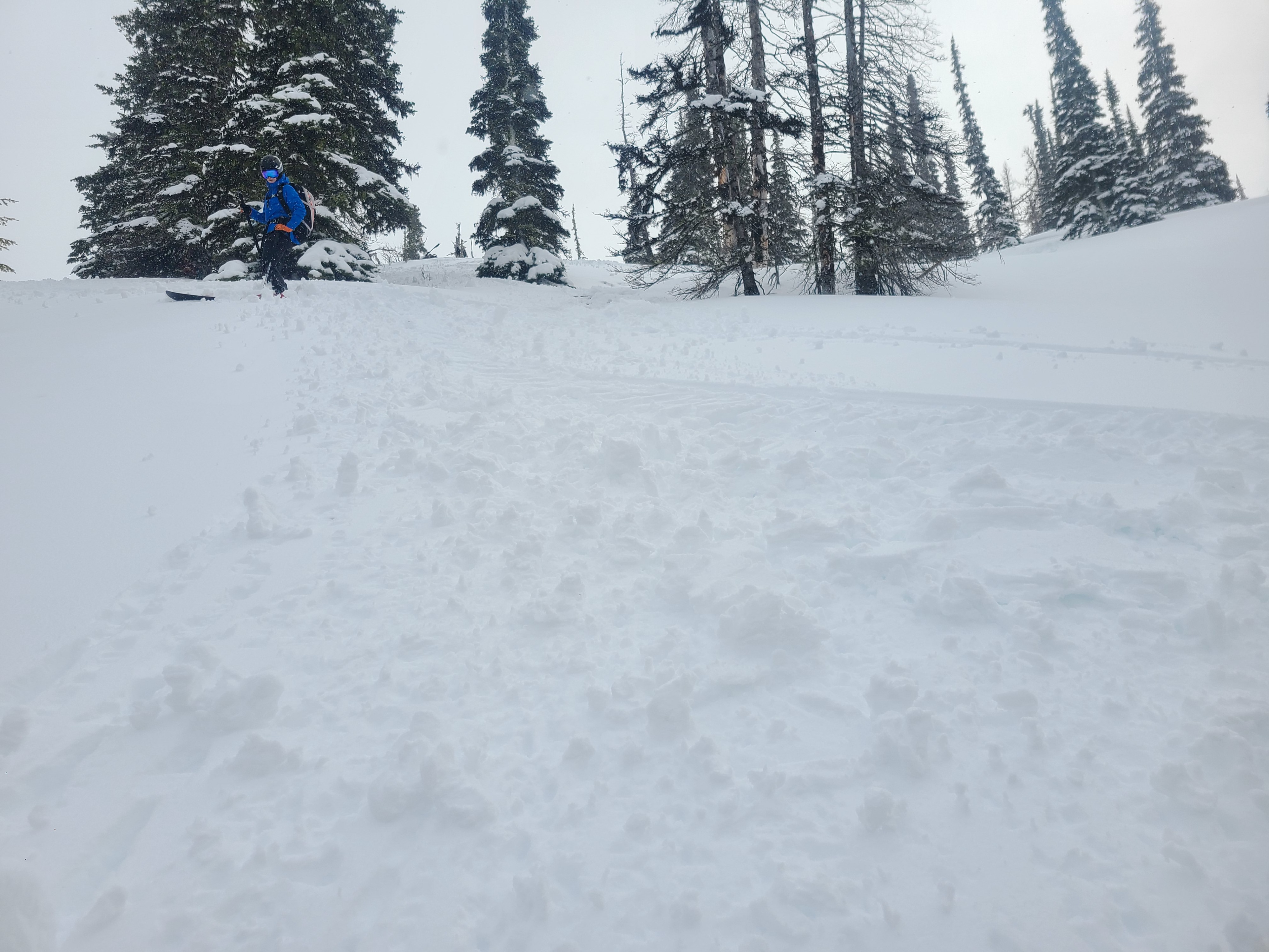
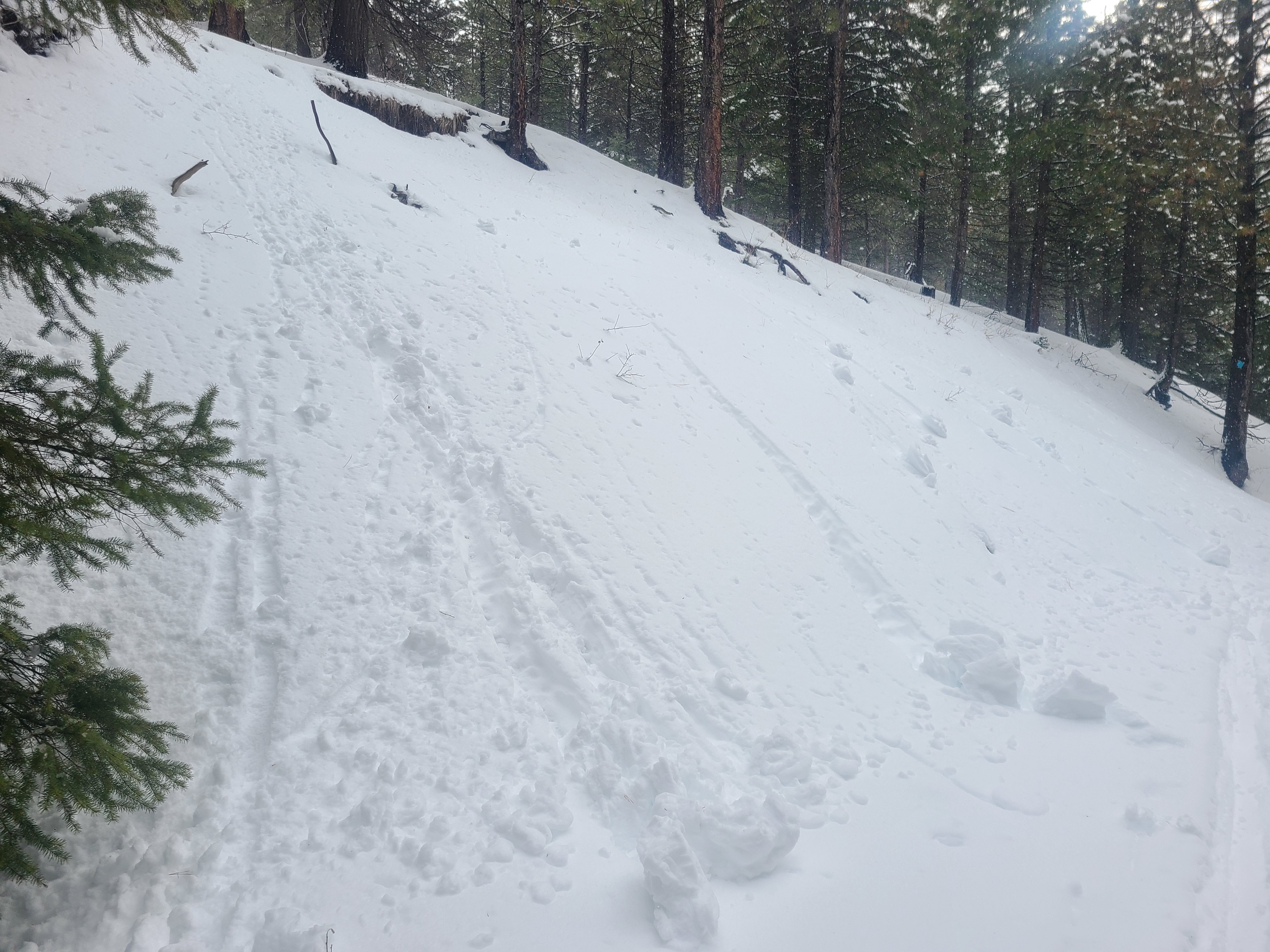
That being said, the warming temperatures and precipitation were having a noticeable impact on snow surfaces, which were adjusting to the new moisture. By the time we had finished with our snow pit, around 12:30PM, the snow surface was noticeably warmer, and no longer blowing around in the wind. We saw some impressive roller balls and pinwheels, and kicked off roller balls with every ski turn, but the snow had not yet taken on enough water for these roller balls to entrain more snow into wet loose avalanches. The most notable observation from our day in the field was the weak snowpack structure - see "Snowpack" below for details. We exited the field around 2:30 PM after a ski out on the very damp, sticky snow at lower elevations.
We experienced some cracking and collapsing on small convexities on test slopes. We observed a single small (D1) storm slab from the road just South of Blewett Pass, but did not observe any recent avalanche activity during the ski tour.Weather
- Air Temp
- Just above freezing
- Cloud Cover
- broken
- Wind Loading
- light
- Rain Elevation
- Variable throughout day, but around 4400ft.
- Recent Snowfall
- 31cm
- Snow Avail For Transport
- small smounts
Periods of percipitation (both rain and wet snow) mixed with sun breaks throughout the day, but became generally stormier in the afternoon. Moderate winds.
Snowpack
We dug a pit at 5,200ft on a north facing slope, and found snowpack test results which suggested weak layers in the snowpack with potential for propogation. We found 12" (31cm) of recent storm snow overlying two specific layers with weak characteristics. Just below the 2/24 interface, we found 1-2mm facets. We also found a thicker layer of facets above the stout Early February Crust (EFC), which sits about 20" (50cm) below the surface. This layer just above the EFC showed potential for propogation in both extended column tests and propogation saw tests (ECTP 13, PST 20/100 End).
Something to note is that below ~4400' there was only about 4-5" (10-15cm) of wet storm snow over the Early February Crust (EFC), and snow coverage in general was very thin, so our concerns about these layers were limited to the snowpack above this elevation.