
Quick report
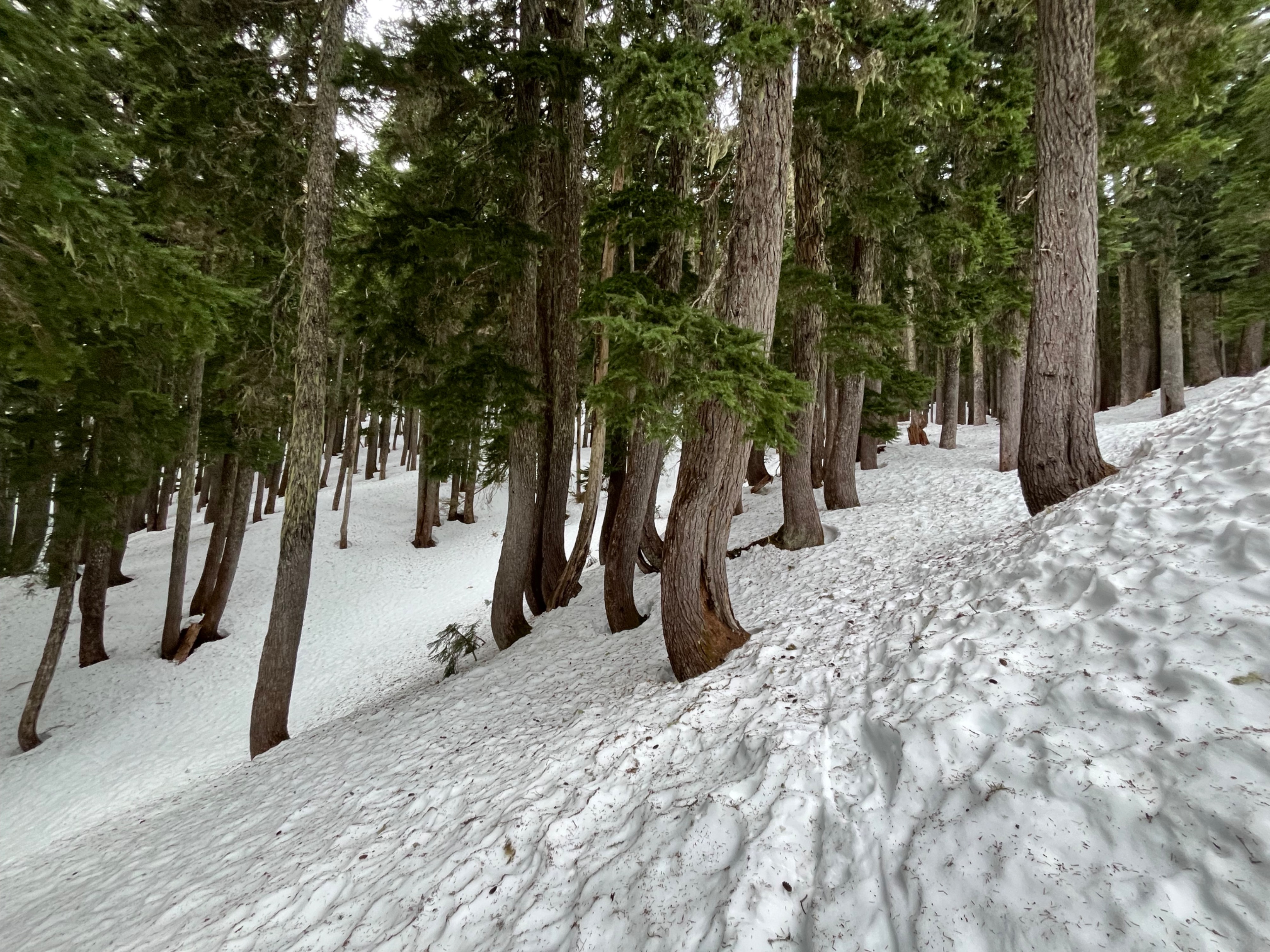
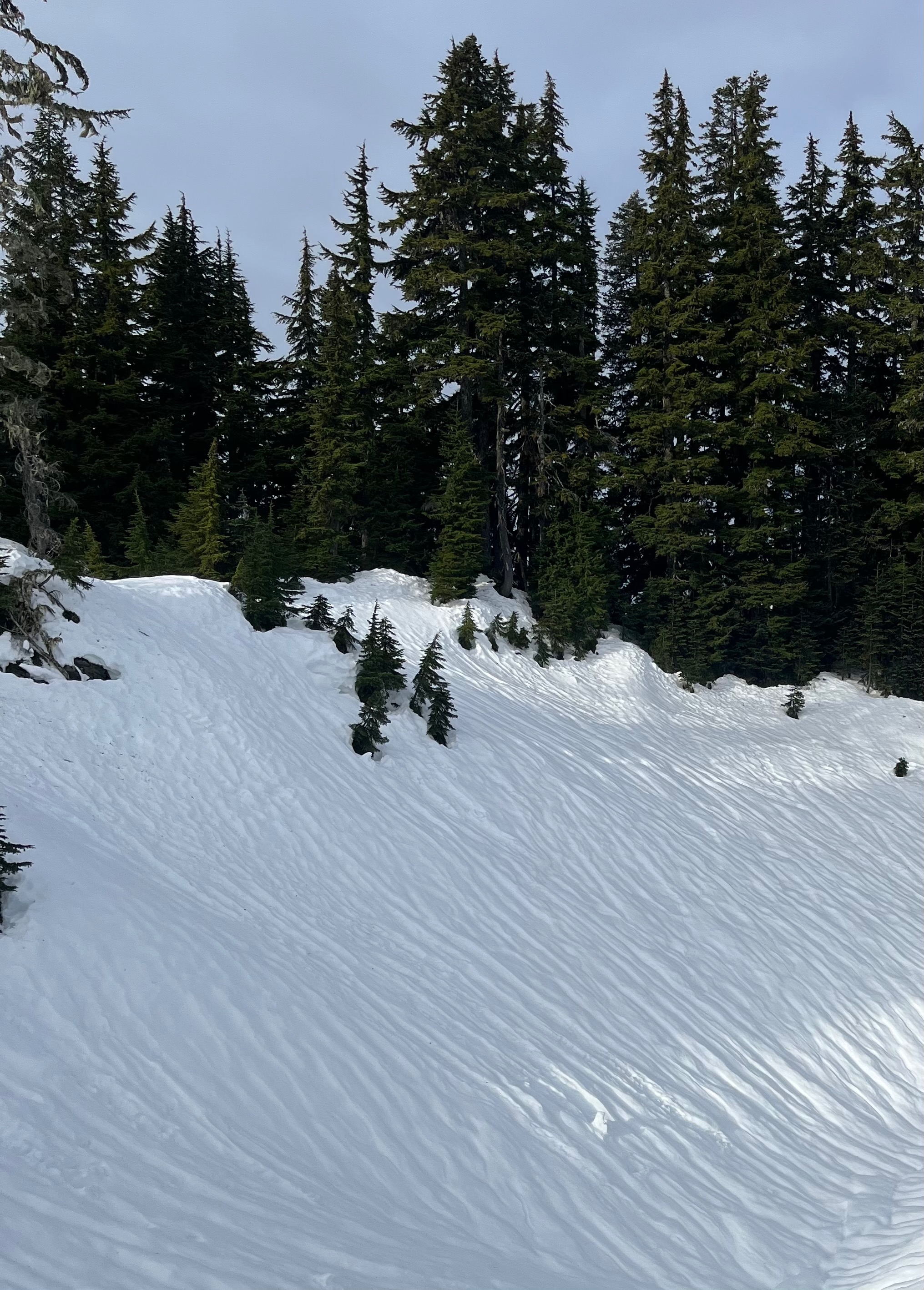
It was a good day to cover miles due to the higher snowlines and firmer snow, and get a baseline before snow arrives. My suspicions were correct- surfaces were hard. There was a little softening at lower elevations and on steep, sunny slopes. Snow surfaces were bumpy in most areas, and smooth in very few. Travel was relatively easy- the firm surfaces were grippy enough on foot that I didn't have large sliding concerns on any steeper slopes.
Weather
- Air Temp
- 32
- Cloud Cover
- broken
- Wind Loading
- none
- Recent Snowfall
- 0
- Snow Avail For Transport
- none
Skies shifted between overcast and broken, with a few sunny patches first thing in the morning and then early afternoon. Calm.
Snowpack
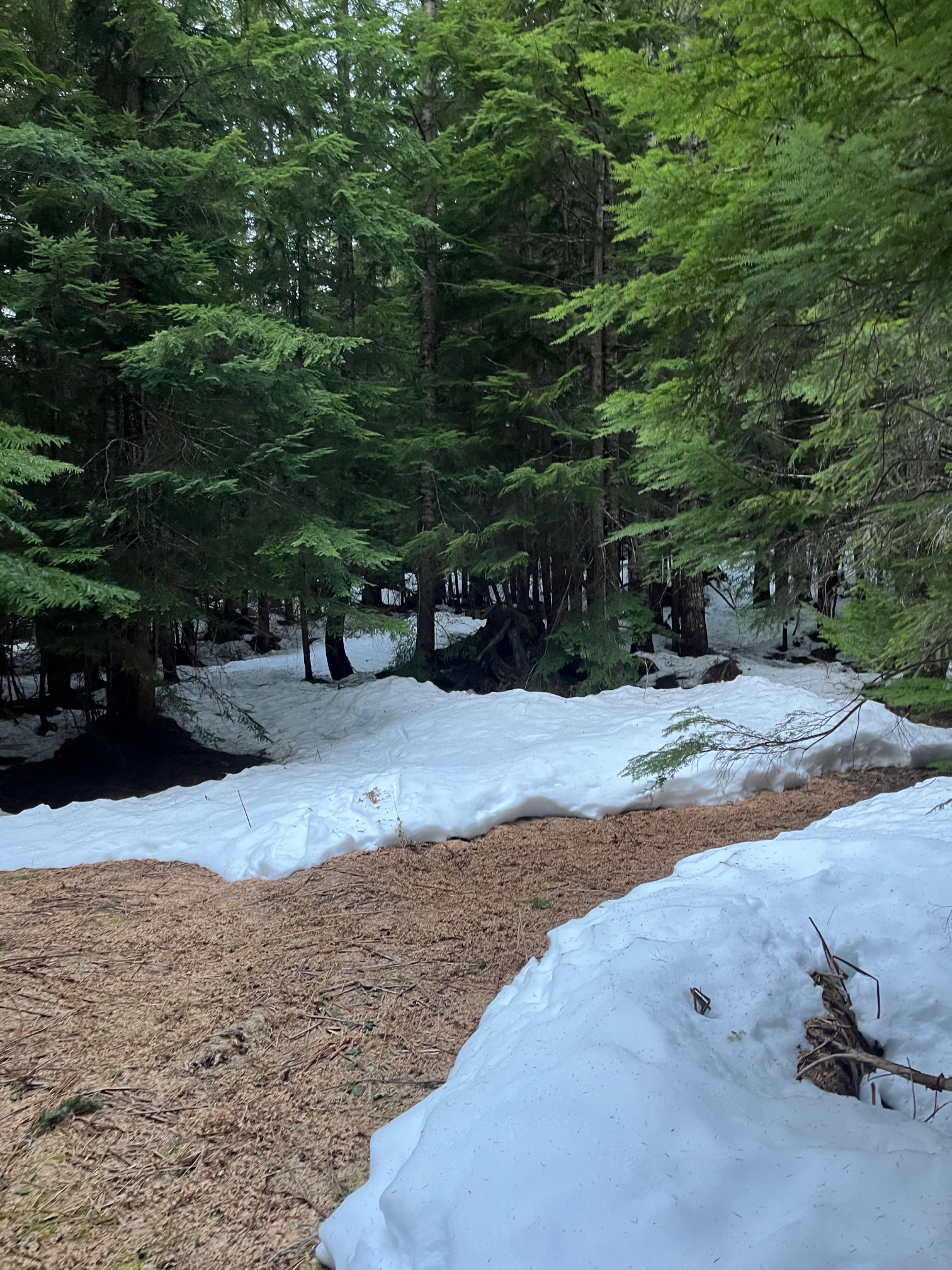
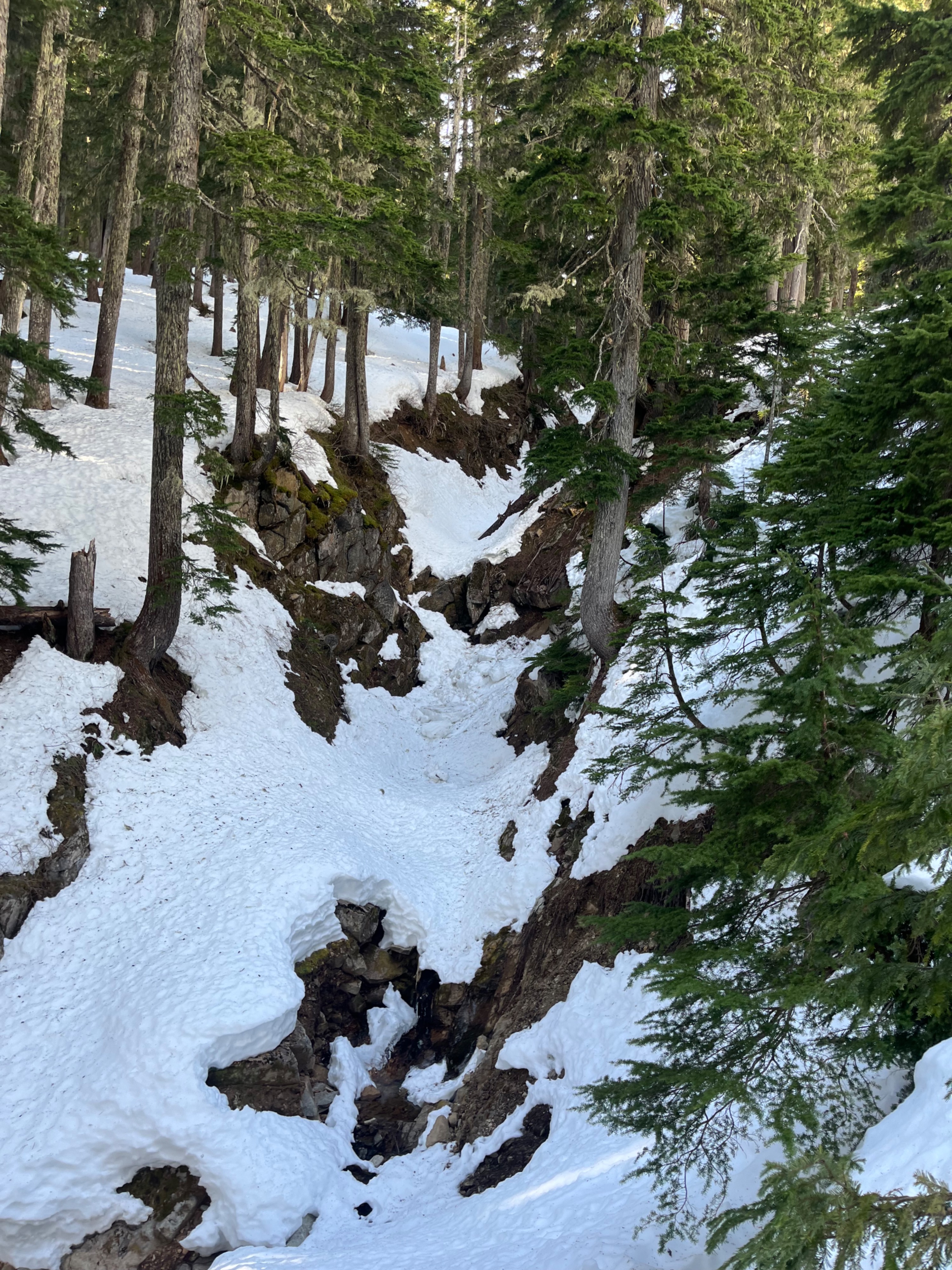
Consistent snow cover began at about 3000ft. Nearly all snow surfaces were hard and bumpy, whether due to runnels or sun cups, or other irregularities. Snow was at least grippy, and I wasn't concerned about sliding hazards.
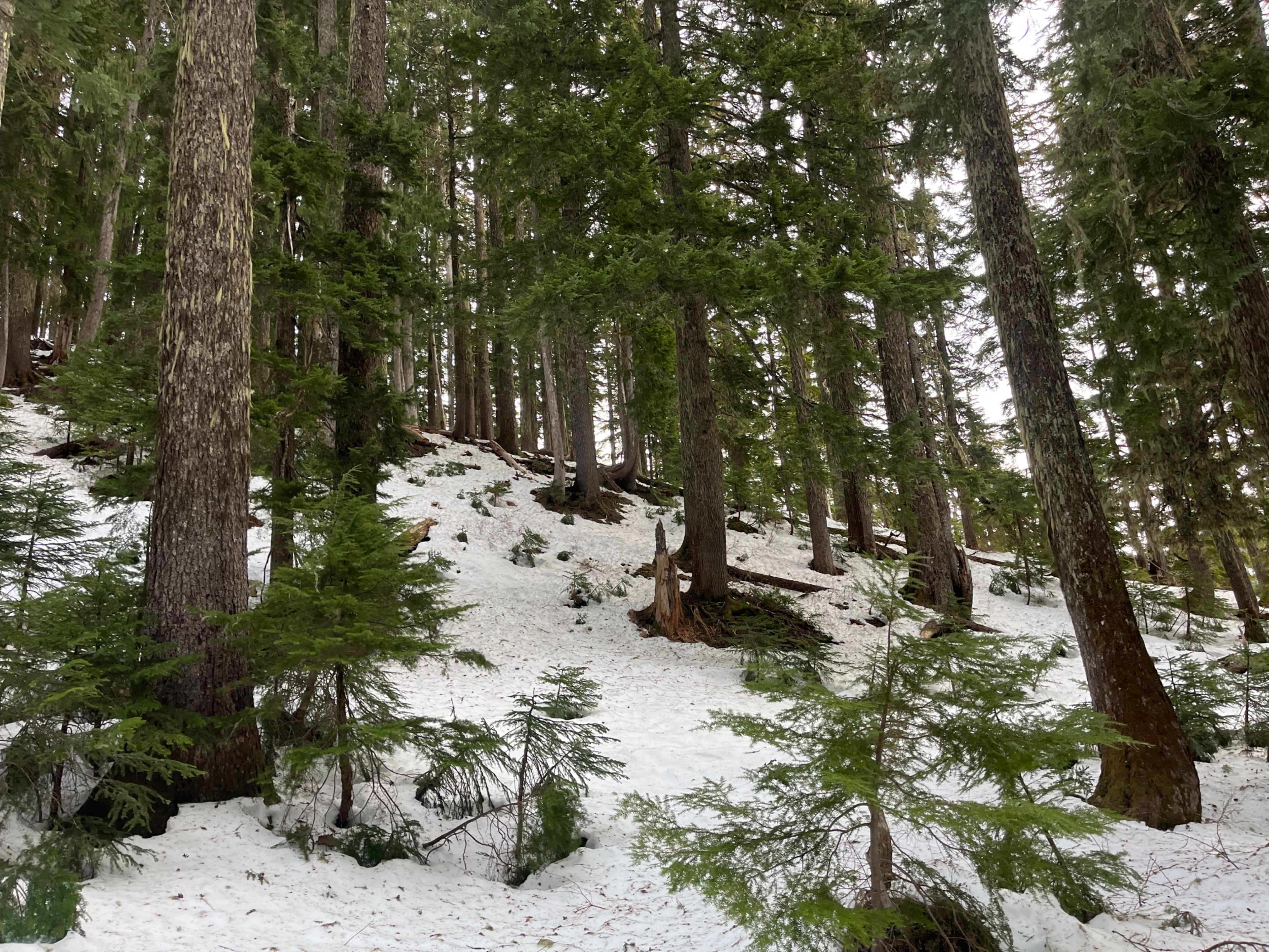
Snow cover slowly increased, to about 200cm, or about 7ft, on north-facing slopes over 5000ft. South-facing slopes in similar areas were significantly more melted out, with rocks and other hazards poking through.
I found a few soft snow patches, and I searched for faceted (weak) snow in these spots. I found a few angular forms, but most of the grains were predominantly melt forms. I didn't see any surface hoar during my outing.
On my way down, a few steep, sun-affected slopes softened about an inch deep. Below about 3500ft, the thin snow layer was soft, unlike the very crispy snow that I encountered in the morning.