
Quick report
- Cracking
- specific
- Collapsing
- specific
Weak, persistent grains in association with the 2/7 melt-freeze crust are widespread throughout the zone. Additionally, buried surface hoar exists with patchy distribution in the top 40-50cm of the snowpack. Wind-loading has thus far been the driving force in initiating recent natural avalanches. Even as activity subsides, these questionable interfaces will warrant attention, possibly through the season.
We observed relatively shallow cracking (<15-20cm depth), mainly limited in propagation to beneath-the-skis. However, we avoided more deeply loaded alpine start zones. Numerous collapses occurred while breaking trail, both in sheltered / shaded meadows (suspect buried SH) and while ascending wind-effected solar slopes (suspect facets around the 2/7 crust subject to recent loading). Neither collapses nor cracking produced any avalanche activity, but our terrain choices were conservative.Weather
- Air Temp
- low 20's
- Cloud Cover
- broken
- Wind Loading
- intense
- Recent Snowfall
- 25-30cm
- Snow Avail For Transport
- large amounts
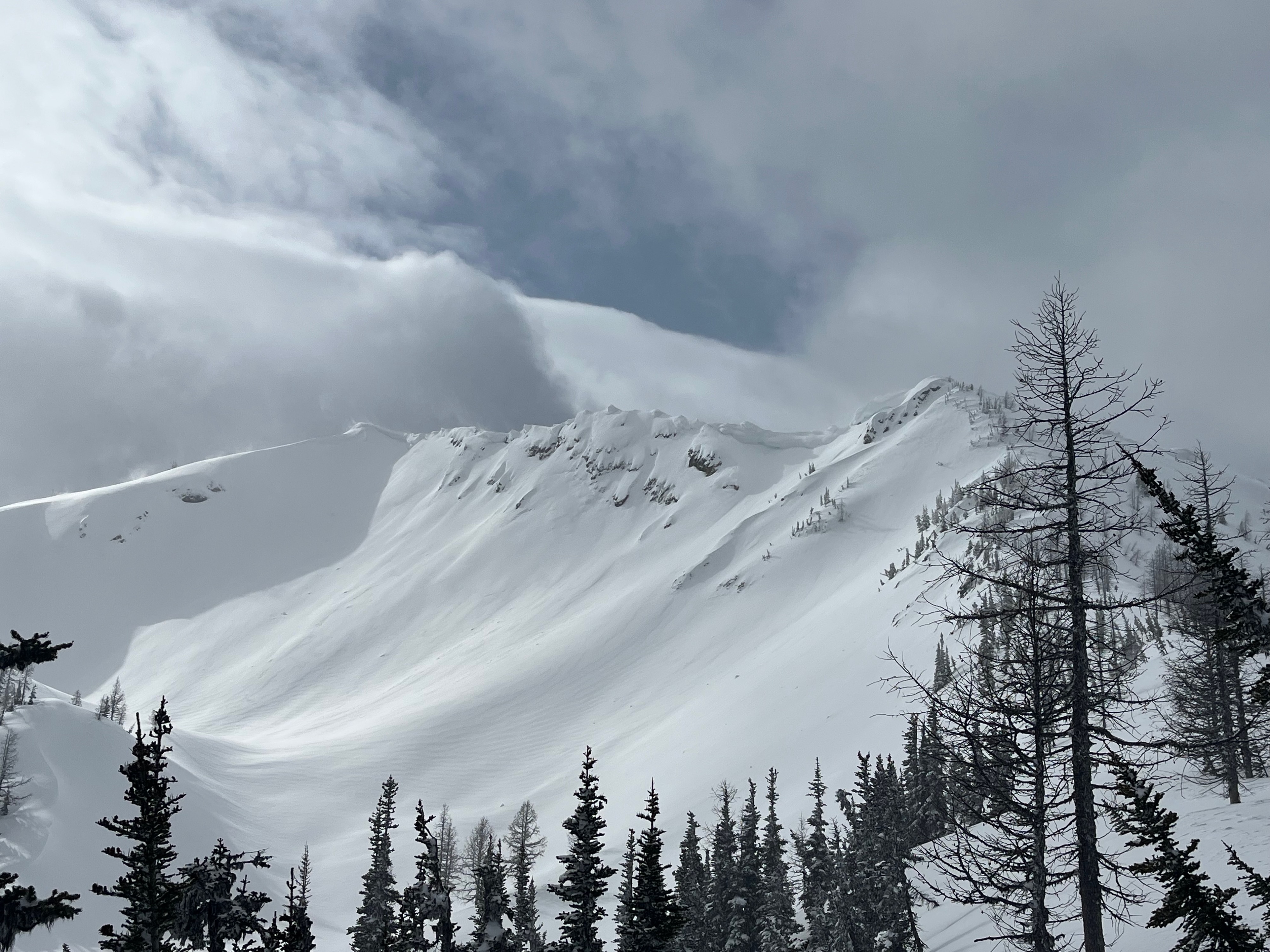
As of the early PM on the 26th, we were "only" 36 hours into the ongoing wind event that is moving large amounts of snow, and altering snow surfaces throughout the local mountains. Splashes of sunshine occurred, though lacking in appreciable warming. Light, intermittent snowfall (s-1) was similarly trivial, compared to the wind-driven transport of the event.
Snowpack
Based in the area for several days, snowpack concerns were limited to the upper snowpack. Following up on Adam's observation from 2/18, I dug several profiles in the upper 50-100cm of the snowpack, targeting Surface Hoar that was buried into the AM of 2/19. I did not find any buried SH in several likely pits, but suspect that it may preserved with isolated, patchy distribution in sheltered low-to-mid elevation terrain. Collapses experienced while traveling through such terrain could serve as confirmation.
Weak, faceted grains both above and below the 2/7 melt-freeze crust also remain a concern. Both snowpack tests and ski tests were unremarkable, in terms of generating results at these interfaces. I suspect that the ~25 cm recent storm snow was not quite enough to overload these questionable layers. However, the ongoing wind loading seems to be accomplishing this quite effectively, as evidenced by the numerous natural wind slab avalanches that have occurred in the past 24-36 hours, often failing within facets above the 2/7 crust.
Throughout the zone, the total snowdepth varies from about 240-280cm. The 2/7 crust is visible in pit walls and palpable by probe, down 35-45cm in most locations. About 10-15cm weak faceted grains exist between this crust and the more robust 1/28 crust, generally down 50-60cm. In colder, sheltered areas, the 2/7 crust is becoming quite weak and faceted, while along windward and solar slopes, it remains quite firm, supportable, and sometimes slick. Most recently-observed avalanches have failed at this interface, with a bias toward solar slopes, largely due to wind-direction.