
Quick report
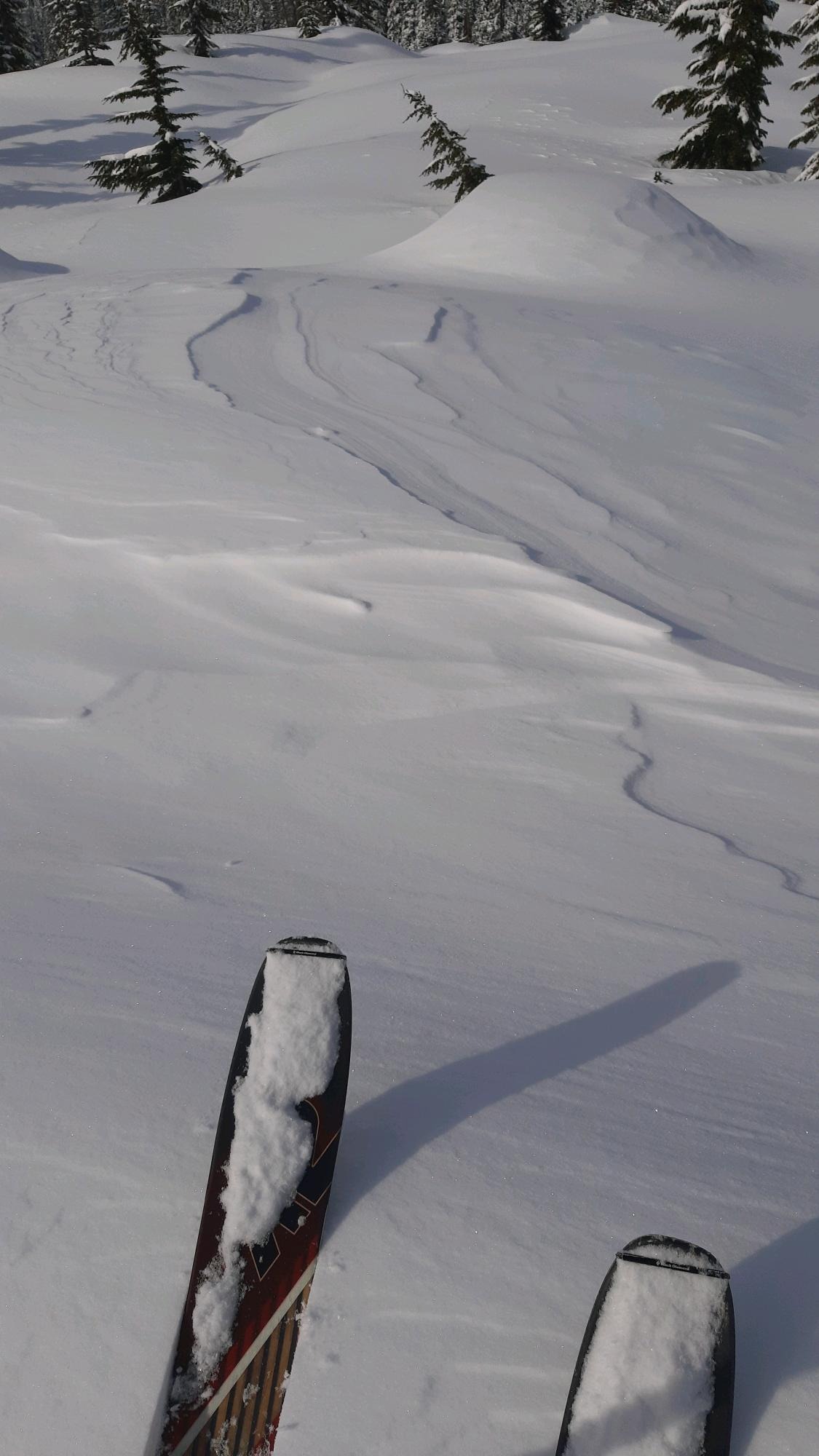
Below 4,300ft on a SW aspect, I was able to push wet snow with my skis on steep test slopes. The new snow (4" at this elevation) was moist, and it slid on the new/old interface, which had moist but harder melt forms. This was not yet a fully frozen crust. It seemed that loose wet avalanches would be possible on larger slopes.
Weather
- Cloud Cover
- broken
- Wind Loading
- previous
- Recent Snowfall
- 17
- Snow Avail For Transport
- small smounts
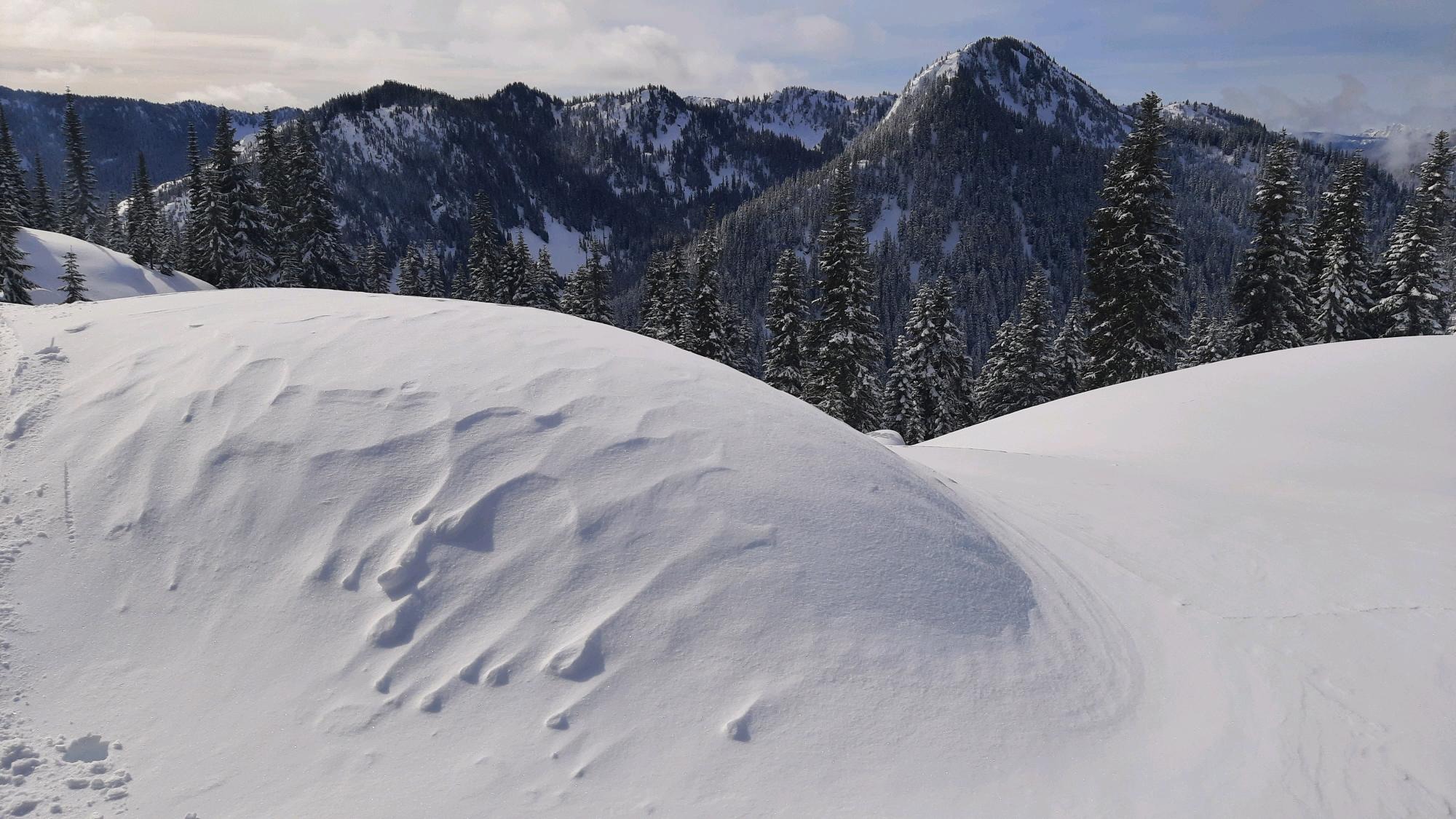
6" (17cm) of new snow overnight. Below 4,000ft, accumulation was only ~2-3 inches, but increased quickly with elevation. Winds were calm by morning, but had been strong enough to transport snow overnight. Skies were few, thin clouds, becoming overcast (still thin at times) by 12p.
Snowpack
The new snow was generally well-bonded to the old (3/9) interface in wind-sheltered terrain. On steep, low-elevation southerly slopes, it was weak enough to trigger loose wet avalanches, but otherwise stubborn. Below the new snow, the upper snowpack was variable based on previous warming (aspect dependent) and recent freeze (aspect, elevation, and vegetation dependent).
This was exemplified by two profiles that I dug at 5050ft ten feet apart. One profile was on an east aspect (85 degrees compass bearing) while the other was on a northeast (55 degrees). At the northeast profile, the surface snow was dry, crusts were frozen solid, and other layers were mostly dry and hadn't transformed to melt forms. On the other hand, at the east profile, the new snow was moist, the top 85cm were either moist or had seen significant melt-water, and the crusts that were present were much softer and not fully frozen.
Avalanche
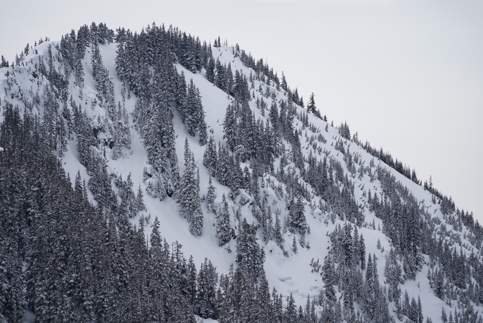
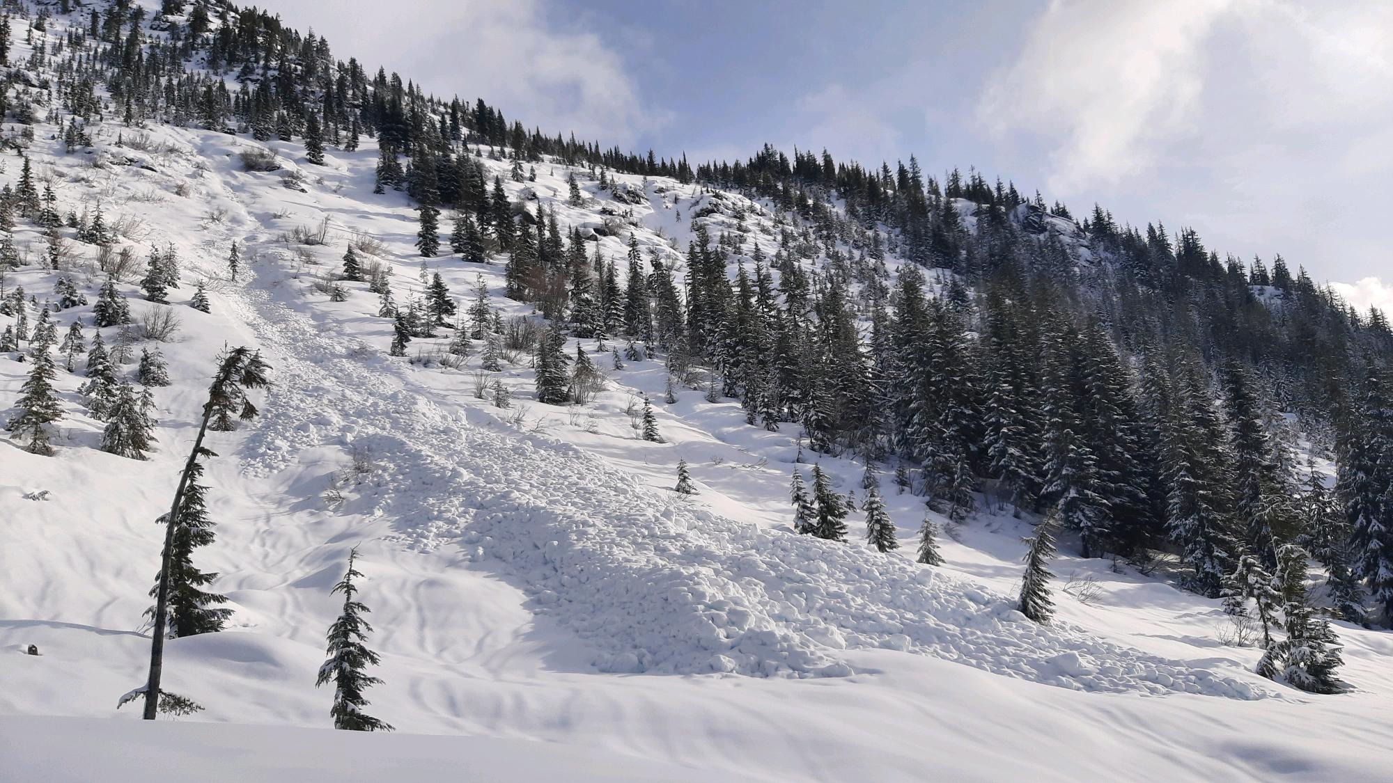
An older wet debris pile (D2) from the late-February AR event (likely 2/25), Lichtenberg, SW.