
Weather
- Cloud Cover
- broken
- Wind Loading
- none
- Recent Snowfall
- 22
- Snow Avail For Transport
- moderate amounts
Broken cloud cover with a mix of snow showers and warming conditions.
Snowpack
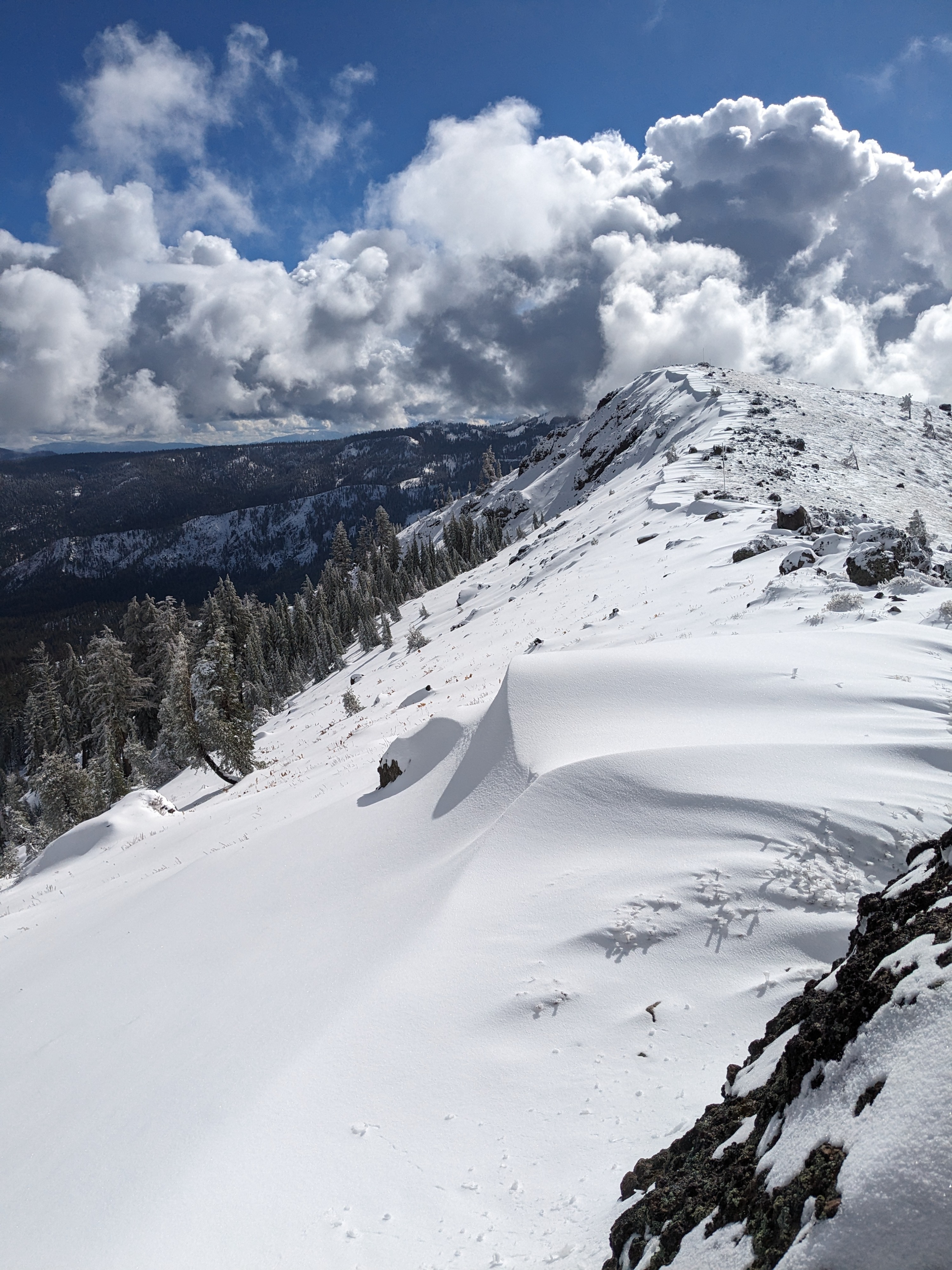
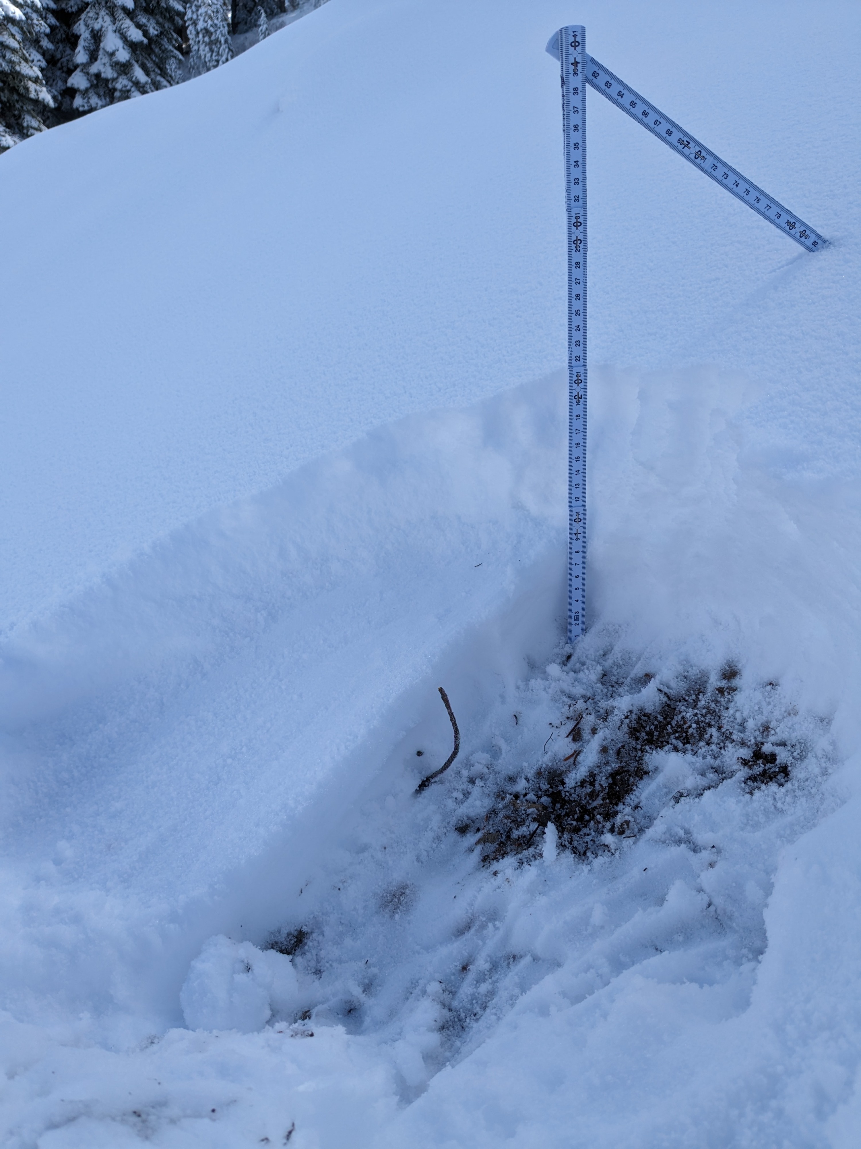
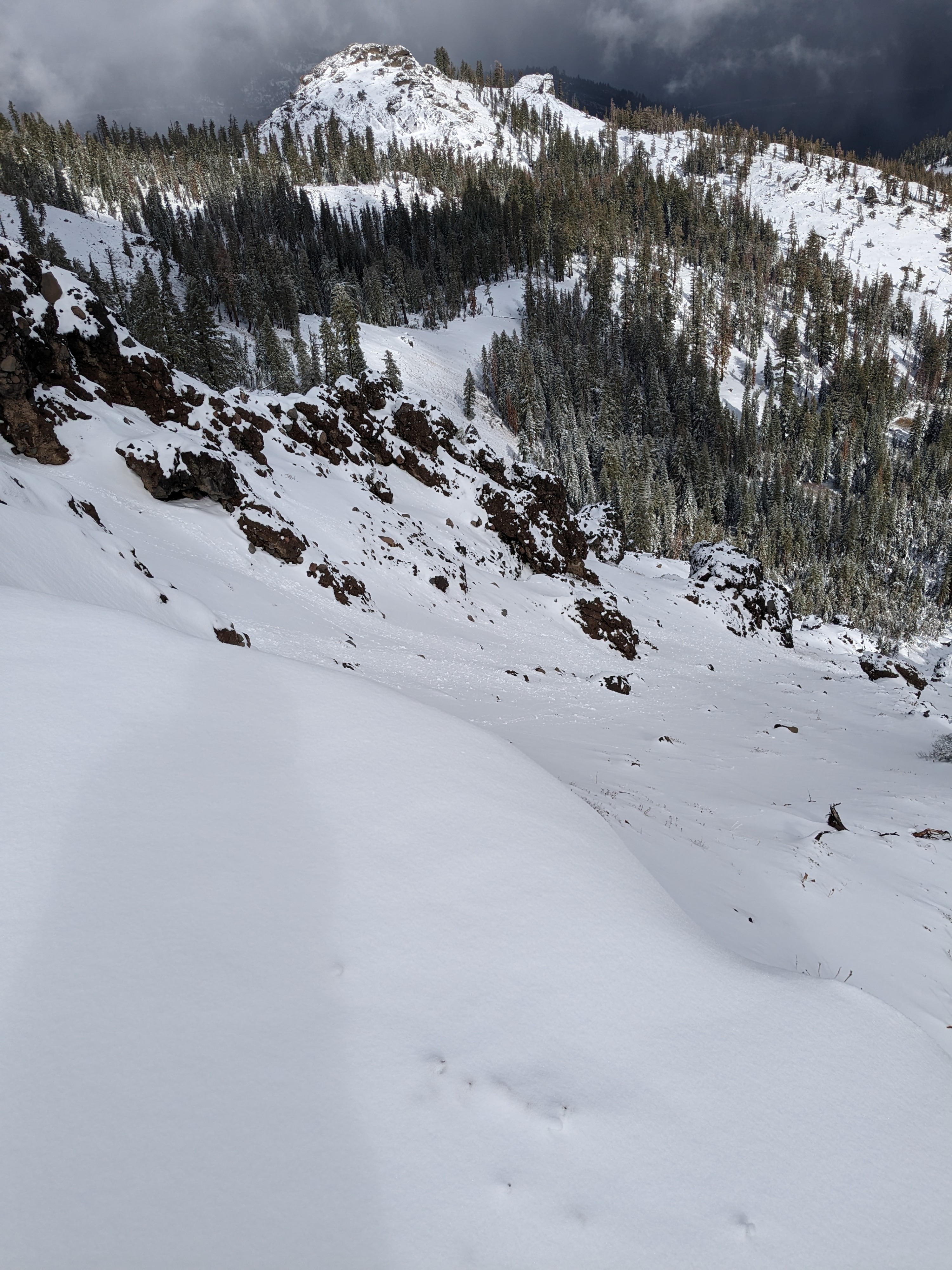
New snow amounts increased across the elevation range that I traveled today. There was 3 to 4 inches at the parking area at 7,100'. Snow depth increased above 7,500' with 8 to 9 inches of new snow at 7,600' to my highpoint of travel at 8,200'. Wind drifts nearing 2 feet were observed along the leeward side of ridgetop areas (N-NE-E aspects).
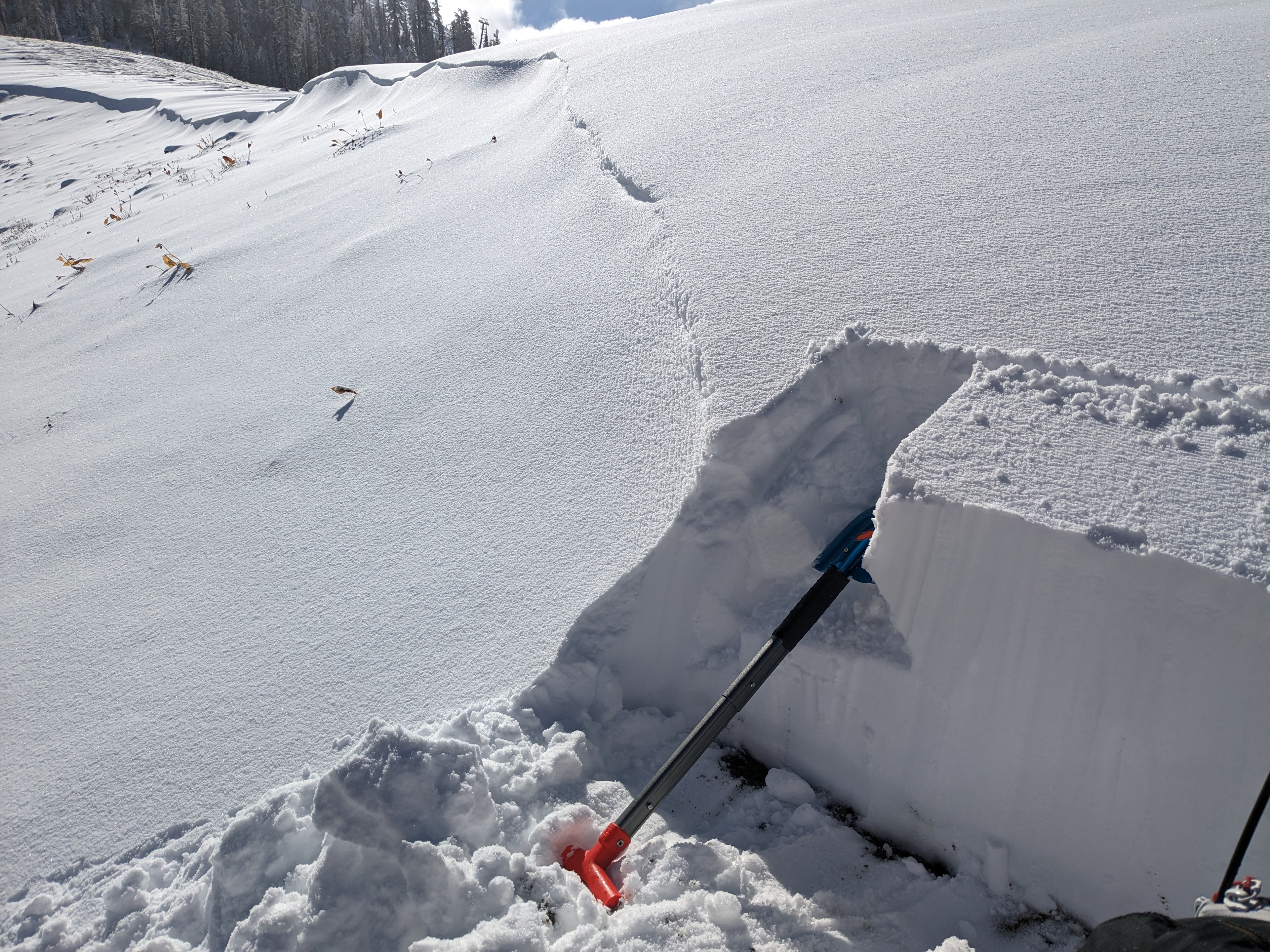
I dug numerous hand pits looking at areas where the new snow was deposited on a thin cover of old snow. I found an old snow layer between the ground and the new snow in a few locations. In all of these areas the old snow had been rained on at the start of the recent storm and old faceted snow had become wet and easily clumped together when squeezed. The new snow above was fairly dense at 4F hardness. I performed a few snowpit tests at 7,680' on a NE aspect in an area where a 20 inch thick slab of wind drifted snow had deposited on top of a couple of inches of old snow (wet facets). I saw no signs of instability.
Several of my hand pits in the 7,700' to 8,200' elevation range showed a 1 cm thick rain crust (4F+ hardness) at mid height within the recent new snow. The overall shallow snowpack, especially with a crust within it is prime for faceting over the next week. Worth tracking leading up to the next snowfall.
Some warming was observed during sun breaks through the cloud cover with tree drippings and some roller balls falling off of rocks.