
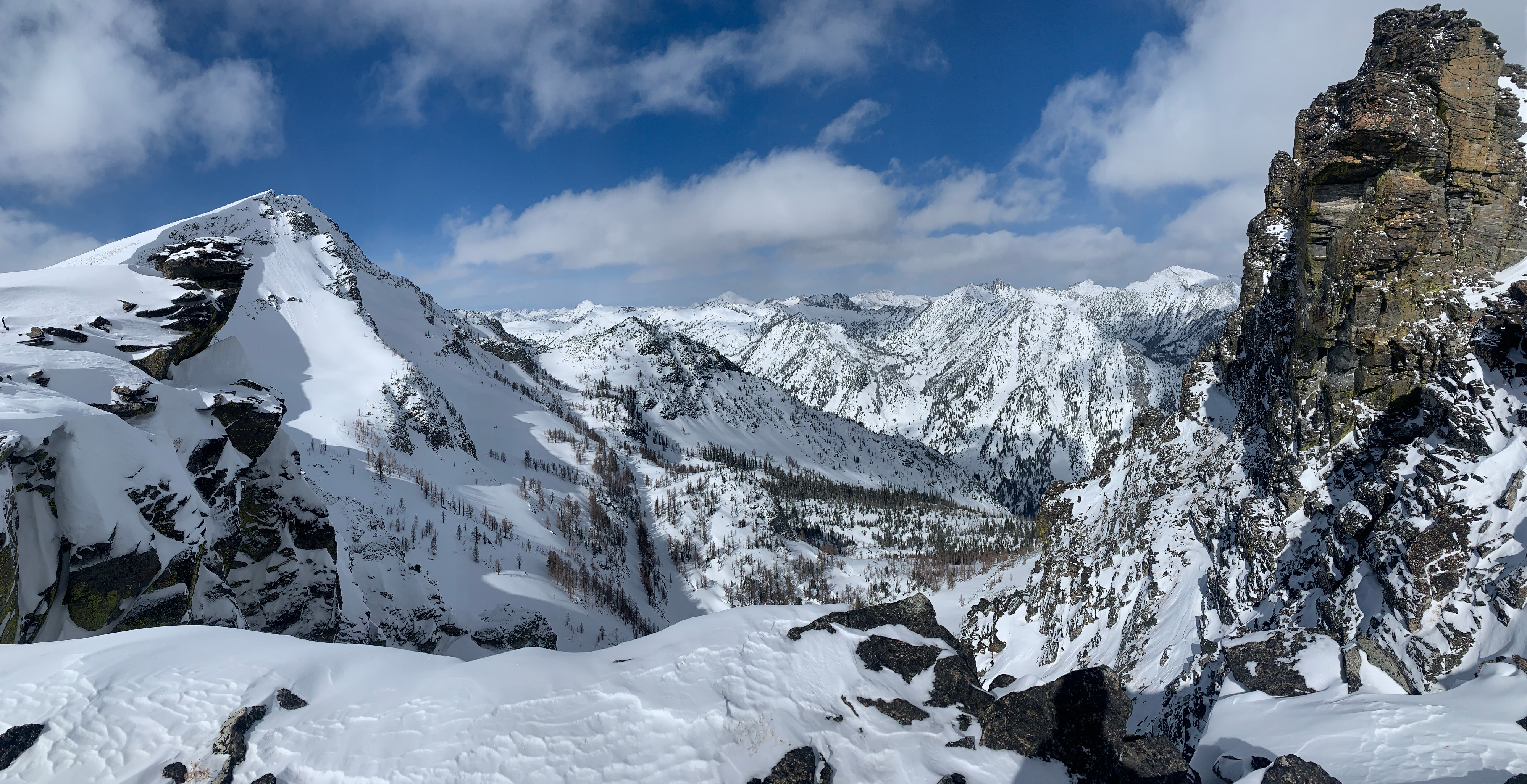
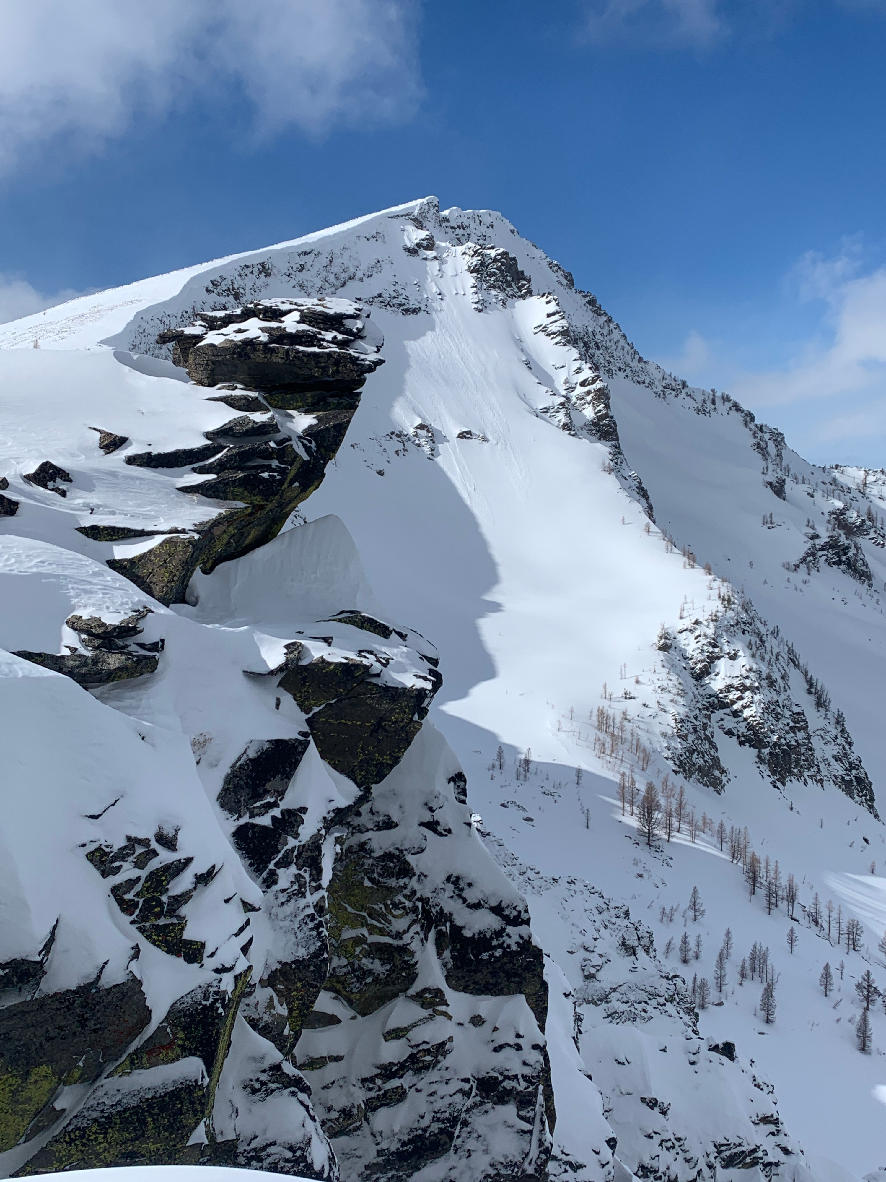
Quick report
No signs of instability. Only avalanche noted was a far running D1.5 dry loose off of Boulder Peak propper into steep east facing terrain.
Weather
- Air Temp
- Mid 20s
- Cloud Cover
- few
- Wind Loading
- light
- Rain Elevation
- n/app
- Recent Snowfall
- 2" overnight at upper elevation
- Snow Avail For Transport
- small smounts
Overall, a beautiful day in the mountains. Very mild temperatures borderline warm. Light southwest wind even on the most exposed upper elevation ridges. Just enough wind and high cloud to keep the sun in check and keep the snow cool.
Snowpack
The snowpack at mid and upper elevation on Boulder Peak is the deepest in the southern Bitterroot. At 9000' we found snow depths between 150 and 200cm in terrain not affected by wind. Above 9500', snow depth decreases dramatically on all aspects due to strong recent winds stripping the peaks down to rock. Low elevation south facing terrain coming out of the West Fork is near bare dirt with only a few inches of snow and disconnected patch skiing between 4500' and 5500'.
All solar aspects up to the highest peak have multiple sun crusts throughout the upper half of the snowpack. We are definitely entering an early spring snowpack with deep snow depths and rounding grains at upper elevation. We could not find any faceting around the buried crusts, and all crusts were unreactive in pit tests. We also did not get any cracking or collapsing at upper elevation (mid slope cross loading primarily) between 8500' and 9500'.
Overall, the snowpack feels like it is gaining stability. That being said, we approached terrain selection today with a stepping out mindset, primarily concerned with buried crusts and potential for faceting above or below. I am placing stability at moderate up high, but with low confidence due to a lack of observations from terrain north of the West Fork and it being out first time into the true alpine in this area this season.