
Sentinel and University Peaks
Quick report
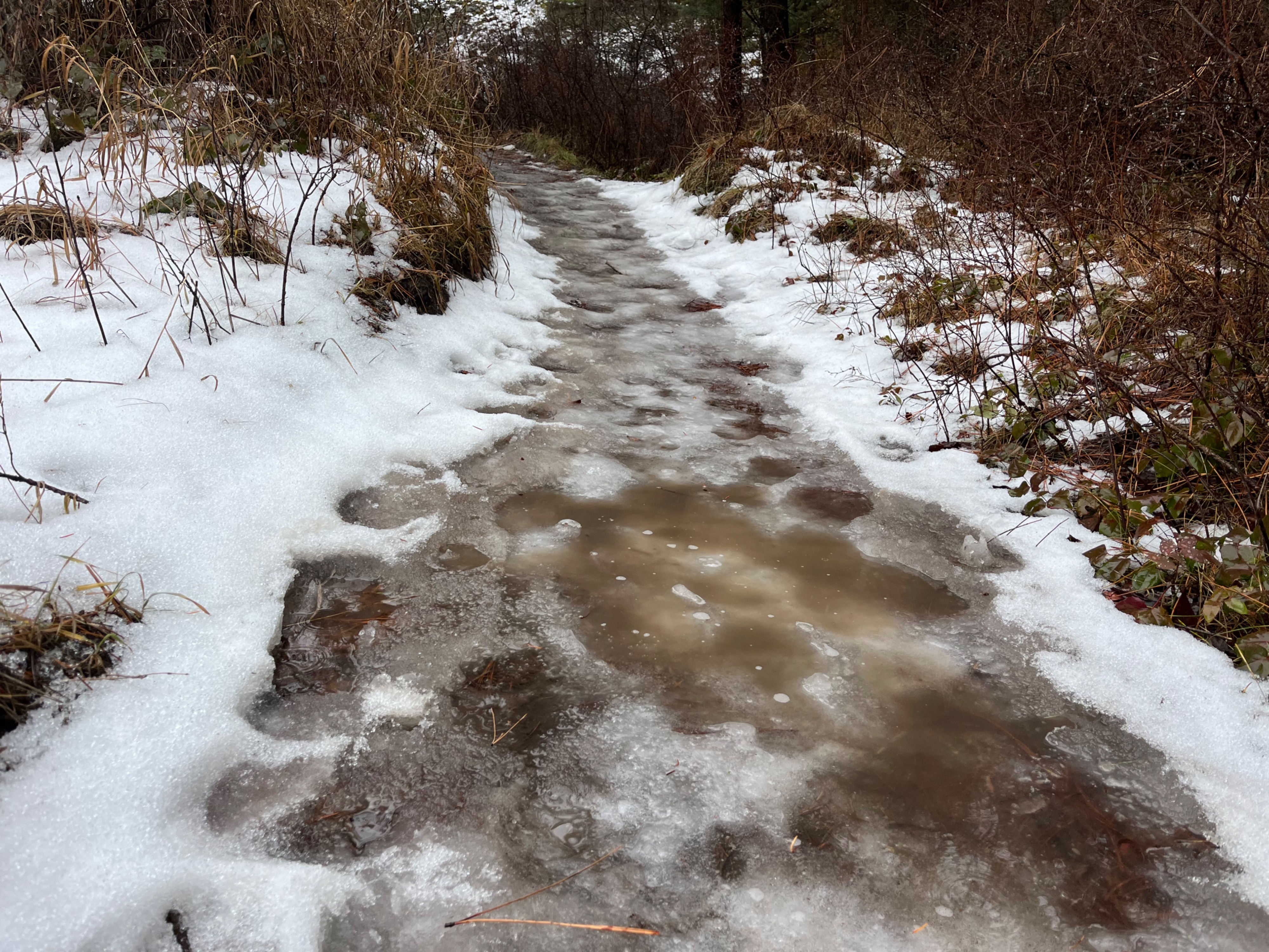
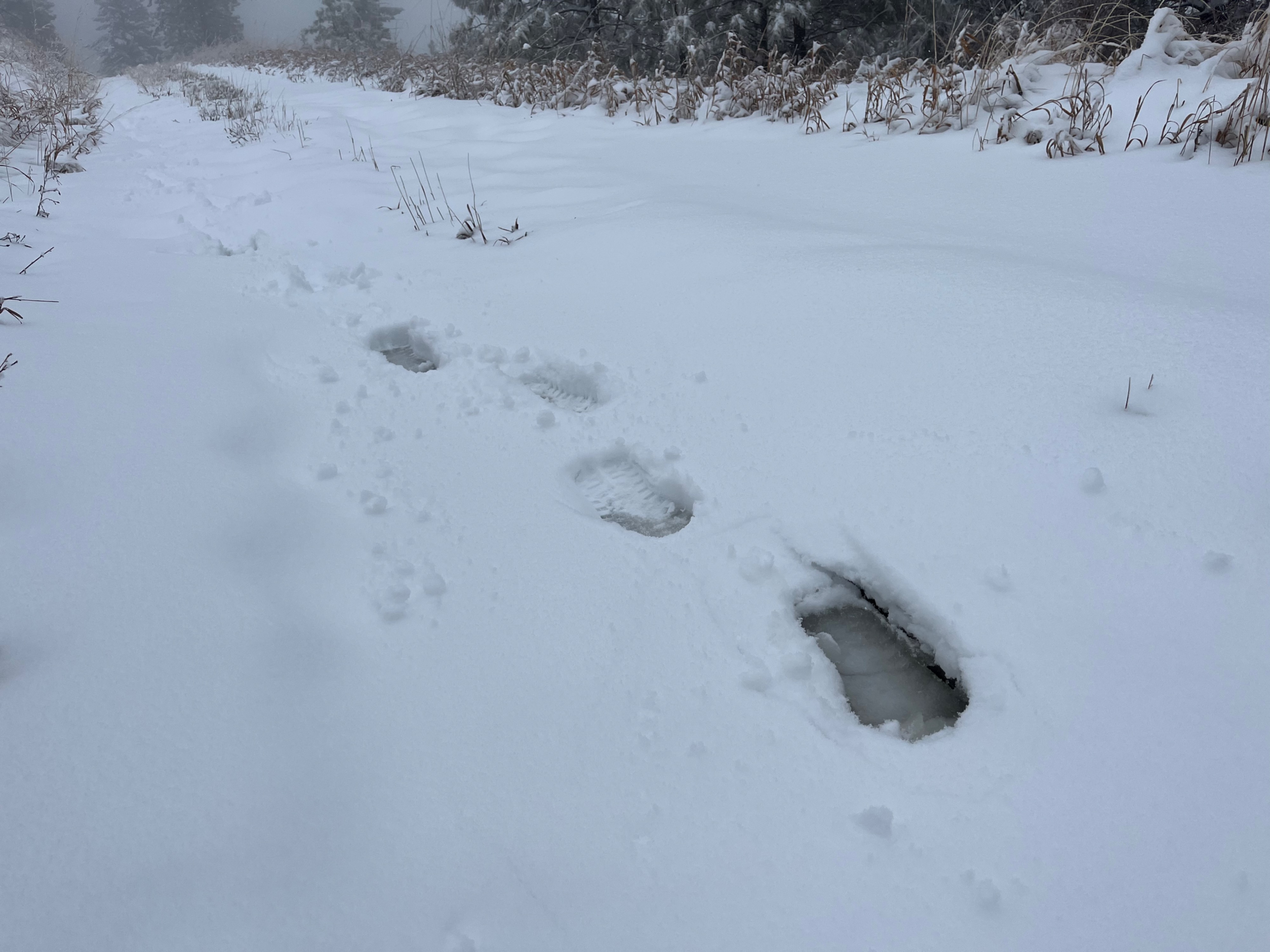
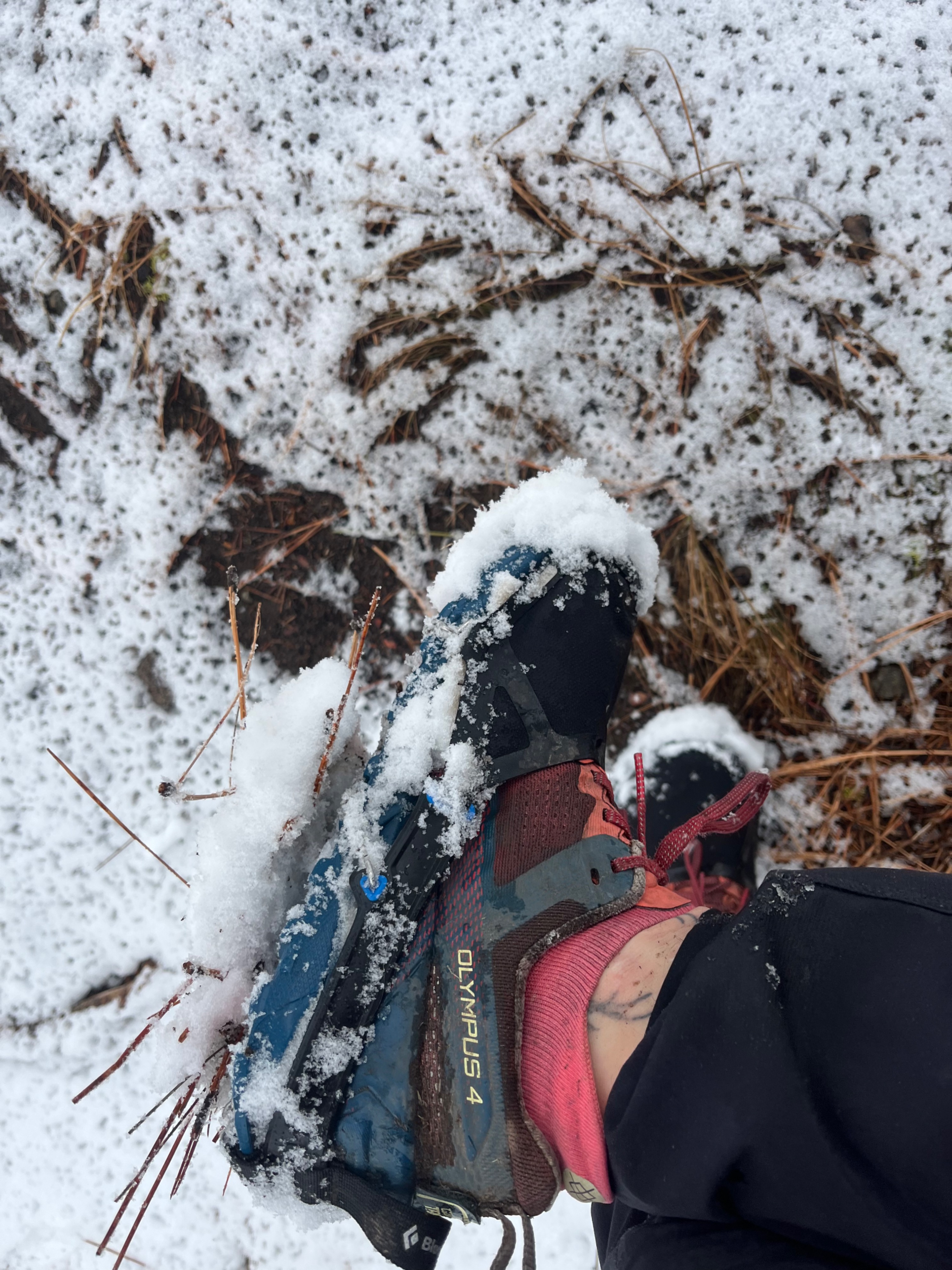
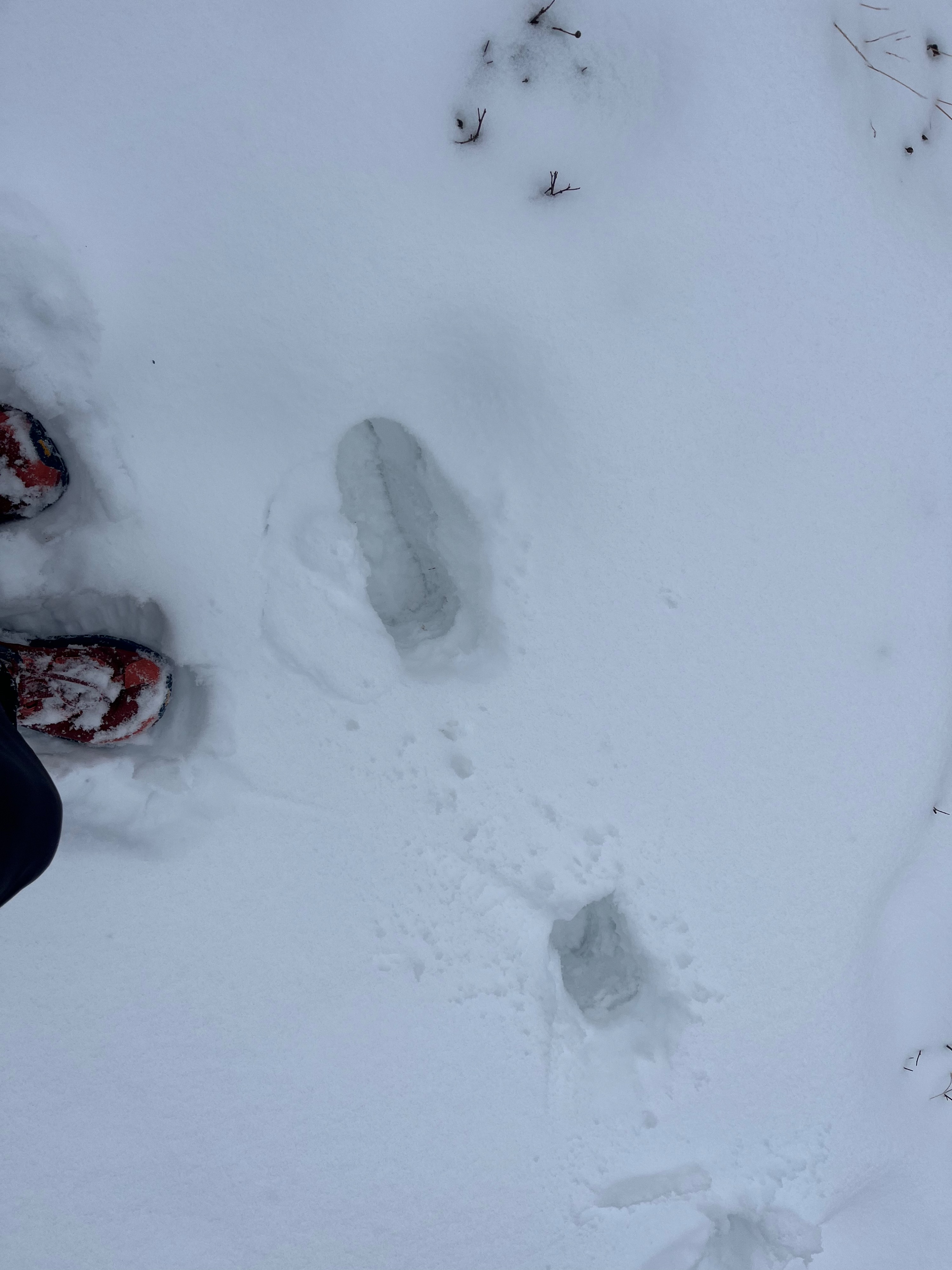
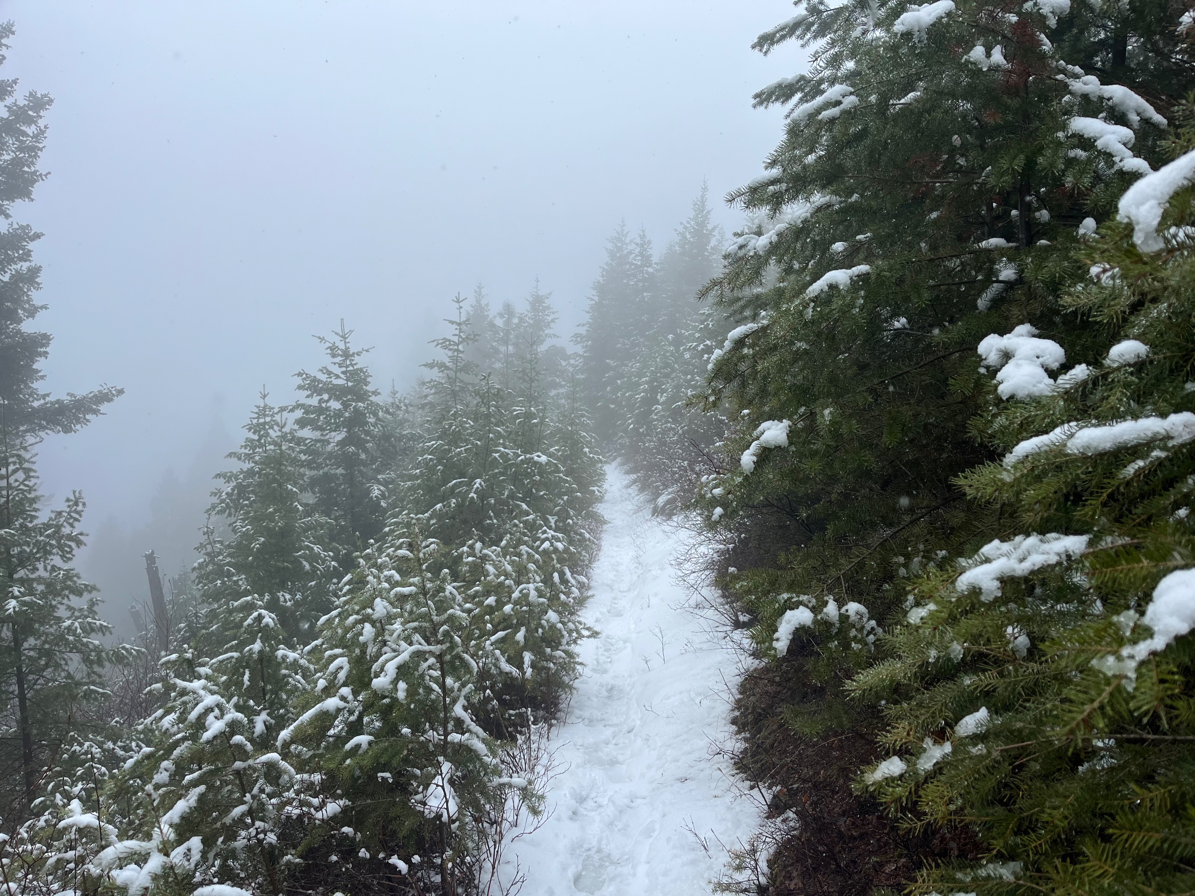
I observed a rain/snow transition between 3800’ - 4000’. However, the snow that fell today hit warm ground and did not stick at lower elevations, except where there was already snow or ice. Snow began sticking around 4300-4400’. The snow was very dense, wet, and heavy. The bottom of the new snow was slushy and wet, even up to 5800’ on the top of University Peak. I think this is because the snow fell on warm ground and began melting, even as more snow fell on top, insulated from the ground by the slush. I observed snow depth between 2-3” at 4400’. Snow depth increased to approx 6-8” higher up. Above 5000’ travel via running became increasingly difficult due to the heavy dense snow and I wished I had skis on instead. Felt like running in 6 inches of wet concrete. At 5200’ on SE-NE aspects east of University Peak, I observed some wind-loaded snow drifts in the road, post-holing over a foot deep without hitting ground. It was windy on University Peak and I observed a bit of blowing snow but nothing remotely close to a wind slab.
Weather
- Air Temp
- 30-35
- Cloud Cover
- obscured
- Wind Loading
- moderate
- Rain Elevation
- 3900
- Recent Snowfall
- 5-20
- Snow Avail For Transport
- small smounts
WET. The worst weather possible for running: 30 -35 degrees and raining/sleeting/snowing, but melts as soon as it touches your body.
Snowpack
“Snowpack” seems generous; All the snow I saw today was falling on naked ground or packed ice on north-facing trails.