
Quick report
- Collapsing
- isolated
We observed a few collapses while hunting around some previously wind-loaded terrain features.
Weather
- Cloud Cover
- overcast
- Wind Loading
- none
- Snow Avail For Transport
- moderate amounts
Between 10am and 1pm, the accumulated snowfall was around an inch. Snowfall rates picked up around 12:30pm-1pm as we were headed out. Calm wind and poor visibility.
Snowpack
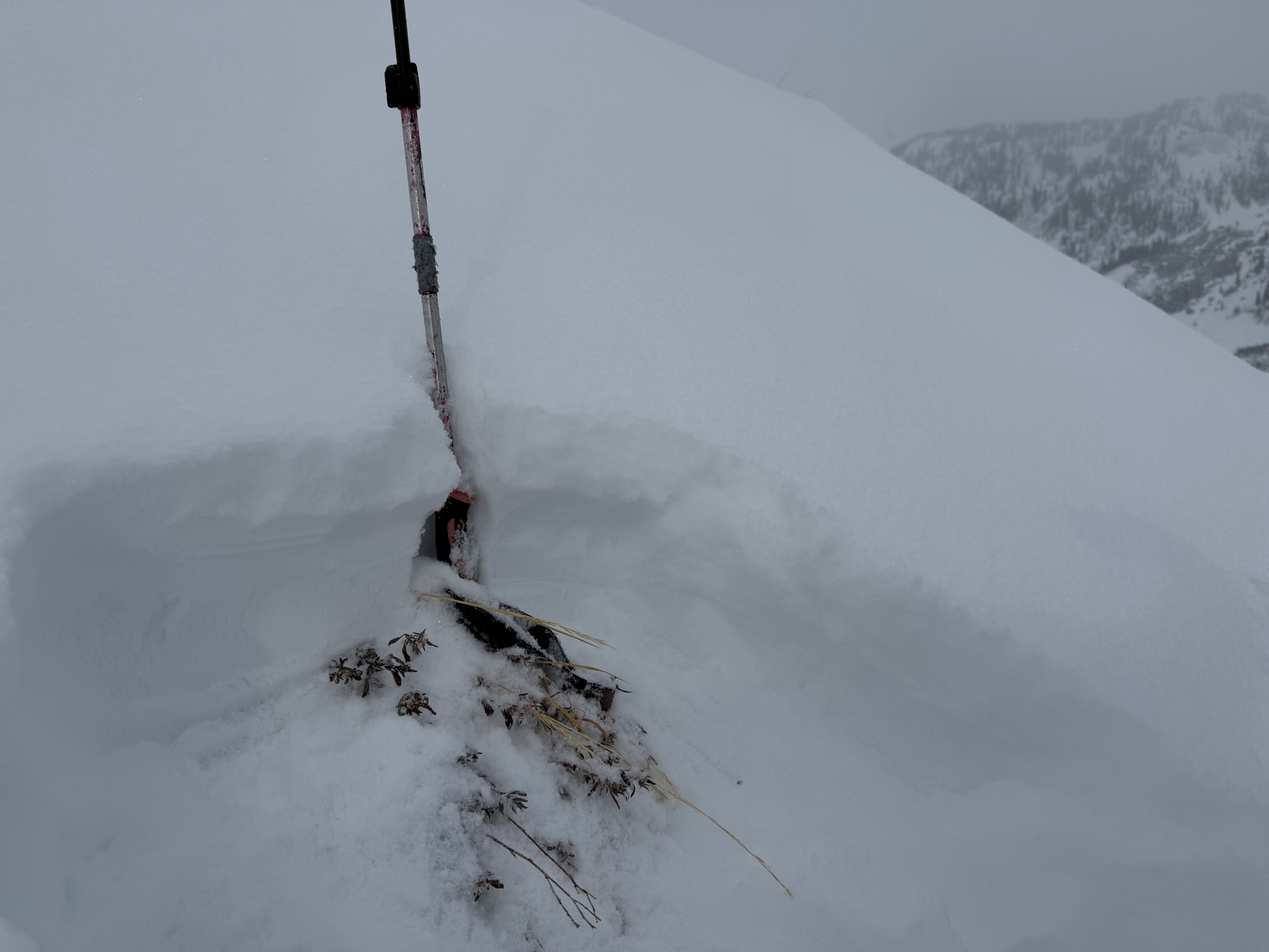
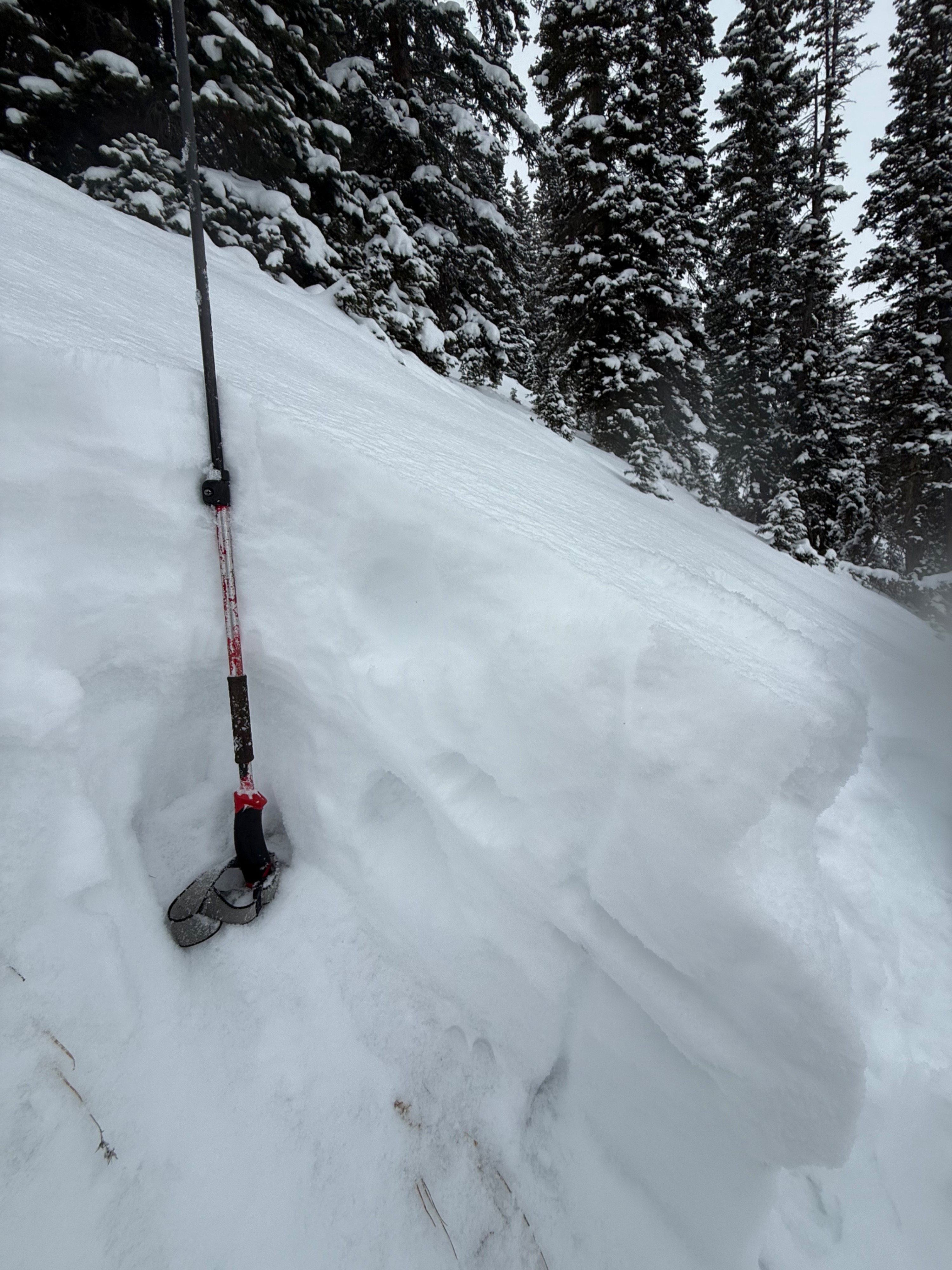
The snowpack on this tour was not that interesting, with a general snowpack that was shallow, soft, and/or weak. Slabs were isolated, as there was not much previous wind loading where we traveled. The poor visibility made old loading patterns hard to see, and it kept us from going any higher.
Since 12/1, there was about 10cm of new snow at 10,500ft and around noon before snowfall rates started to pick up.
The ski pen is still near the ground because the snowpack hasn't gained strength while slowly settling from last weekend's storm.