
Quick report
- Cracking
- specific
- Collapsing
- specific
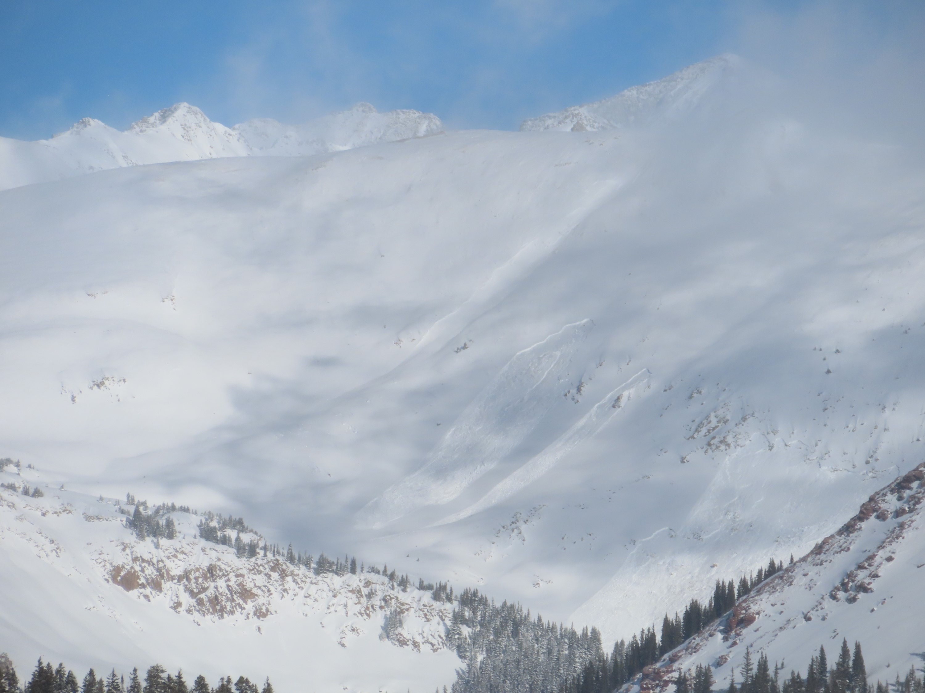
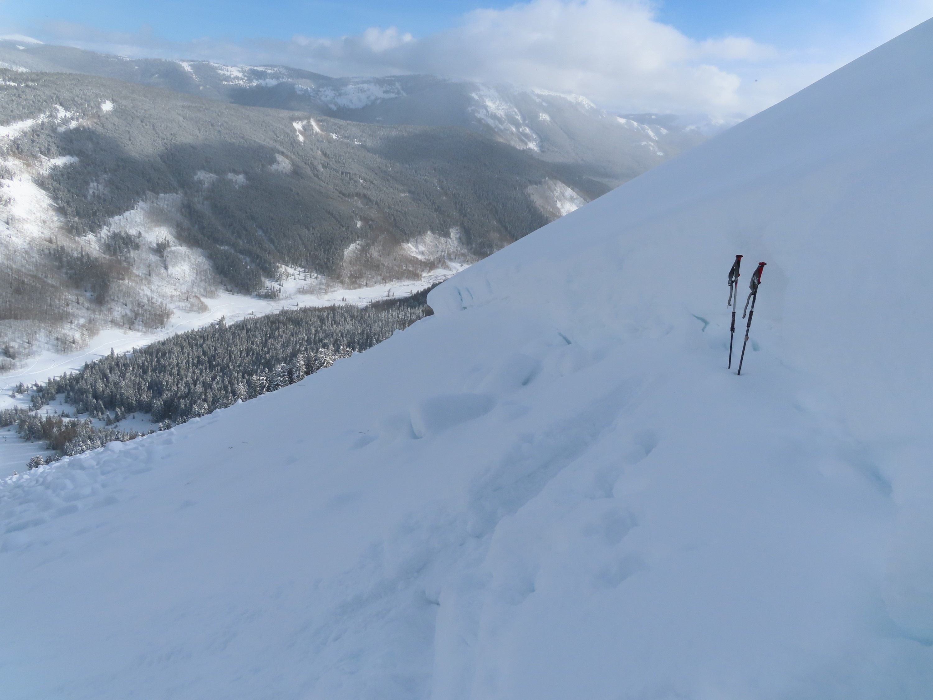
Continued natural activity in this drainage. One of the worst-looking snowpacks I've seen in a few years. Signs of instability diminish as the snowpack gets deeper, not because the weak layer is any stronger, but slabs are thick enough that it's not easy to impact the total junk weak layer. I skied the bedsurface (no hangfire!) of a slope that ran over the weekend and that skied quite nicely now with another foot of snow on top.
Consistent slope-scale collapses and shooting cracks in the lower parts of the drainage up to about 9,600'. After that, collapses became rare, a function of slab thickness and ski pen. I got a few collapses higher in the terrain while breaking trail next to pungie trees where the snowpack is thinner.Weather
- Wind Loading
- light
- Recent Snowfall
- 35
- Snow Avail For Transport
- moderate amounts
Cloud cover decreased throughout the day, snowfall ended by 1 p.m. About 35 to 40 cm of low-density new snow (best estimate).
Snowpack
Facets and depth hoar near the ground are fist hard, large and well-developed, with minimal signs of rounding. There is typically an abrupt hardness change at the bottom of the slab (1F or harder) from the wind event early in the January storm. That's helping keep ski pen from punching through to the weak layer, but if you do...yikes! Slabs are typically 3 to 4 feet deep. Rode around on some moderately steep (25 to 30 degree) southerly slopes below treeline and didn't get any collapses; these were probably all sagebrush two weeks ago.
Avalanche
- Size
- D1.5 R1
- Type
- SS
- Count
- 12
- Aspect
- SE
- Trigger
- N
- Elevation
- 11400 ft
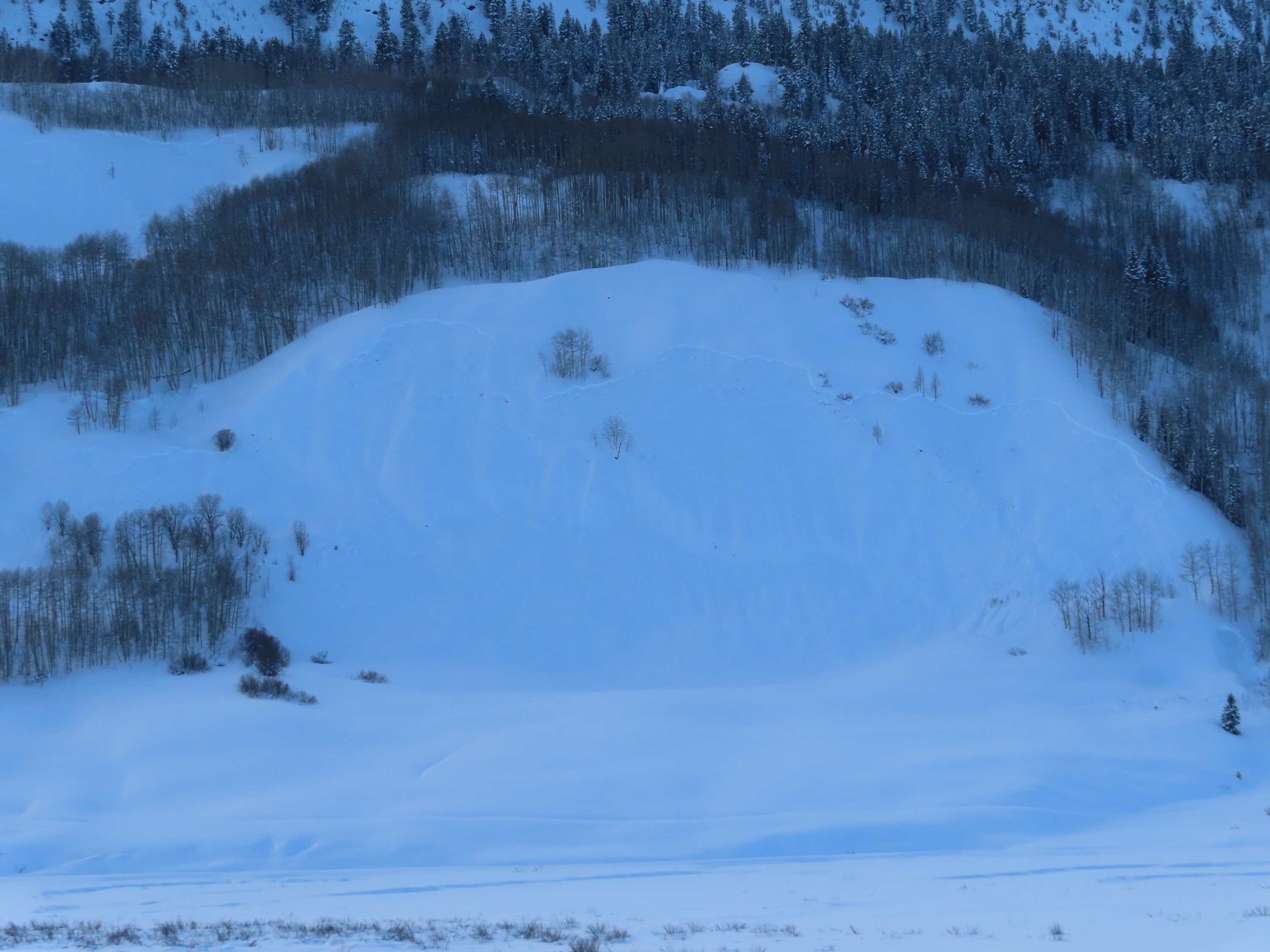
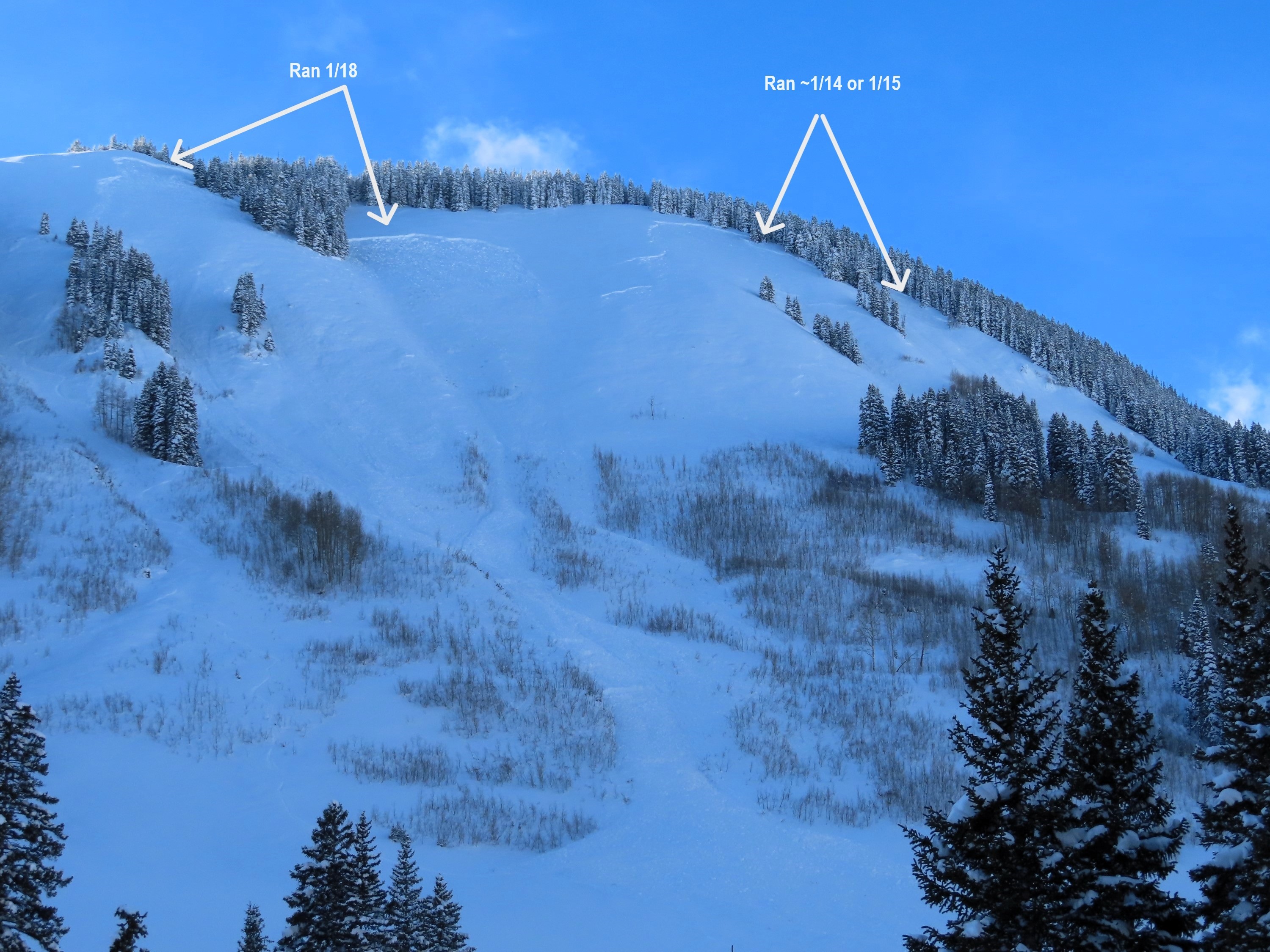
Numerous persistent slabs ran in the past 12 hours in this drainage on easterly aspects below treeline. The most notable was approximately 800' wide, 5 feet deep, connecting two start zones. It failed on fist hard depth hoar grains (~5-6mm) at the ground. I skied over the debris pile and estimate it was 15 to 20 ft deep. There was also a trio of fresh persistent slabs on the west side of Carbonate Hill. There was also a small storm slab/wind slab natural cycle in a few terrain features this morning.