
Quick report
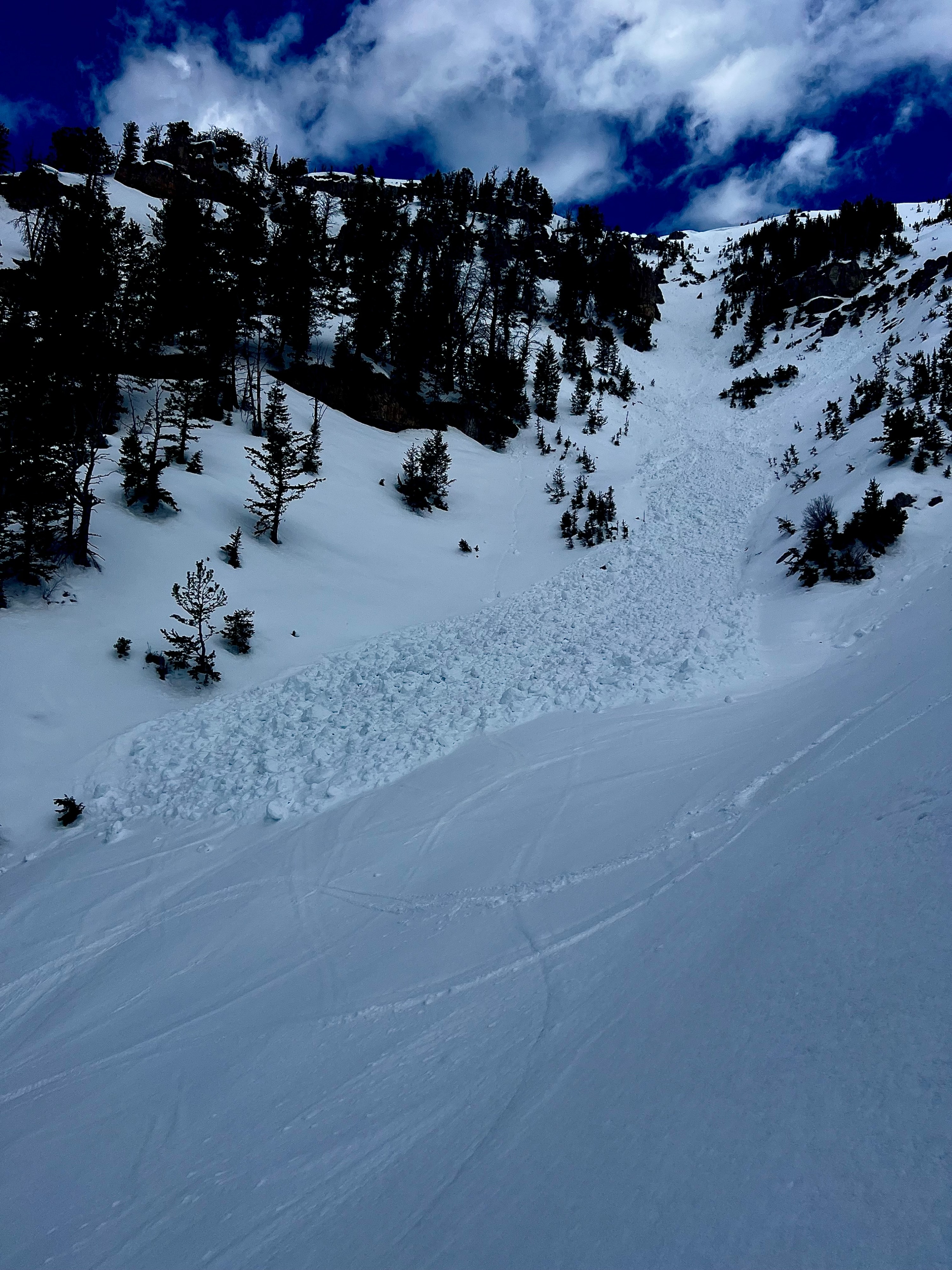
The day started off warm with temperatures above freezing in the AM. Found superficial refreeze of surfaces exposed to the wind. Isolated, sheltered terrain in the trees showed signs of no freezing overnight. Refreeze was deteriorating early and warming quickly on E/S aspects by 10:00 until cloud cover (scattered-broken) developed by 11:00. Corn conditions were quite pleasant with the right timing of warming. Cloud cover kept surfaces cool prolonging the destabilization process of wet avalanche problems (with the help of consistent SW light breeze). Winds were 10-20 mph above 10,000'. Observed a recent large wet avalanche at the bottom of the poop chute (SE face) D1.5. Hard to tell whether the debris pile was from one event or multiple wet loose slides that all terminated in the same spot. Digging into the snowpack it appeared that top 4-6" became wet yesterday. Not much free water moving throught the snowpack by 12:00. But, skies are clearing as a write this and snow is warming back up.
Greys Zone: Cloud cover was far more developed to the south of Taylor. The Snake and Salt River Ranges appeared broken (5/8-7/8) for the morning to early afternoon. Cumulous build up was occuring as potential thunderstorms were forecasted today. Some light precipitation may have occured as well.
GTNP: Skies looked clearer north of Taylor for the morning and early afternoon.