
Quick report
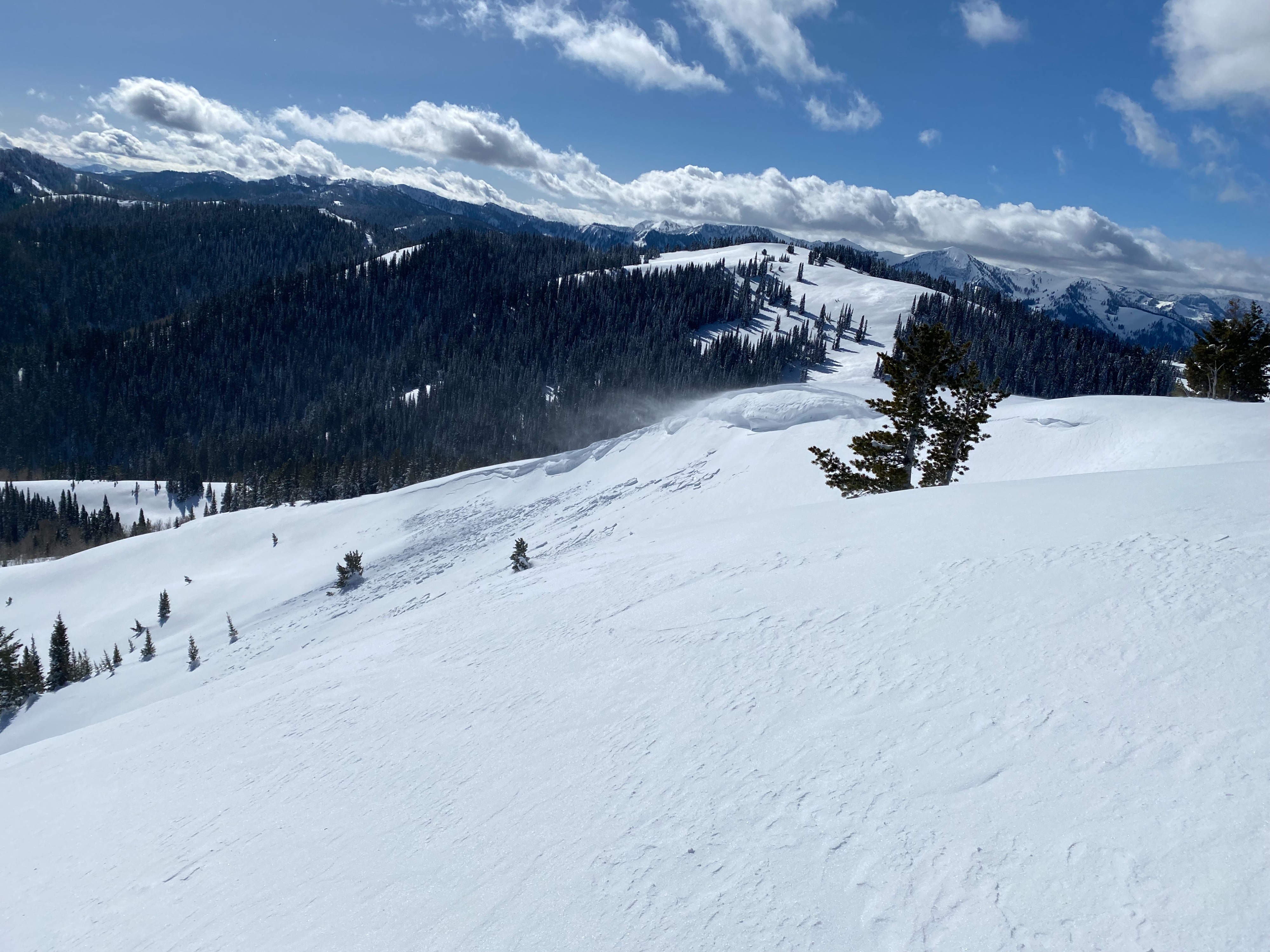
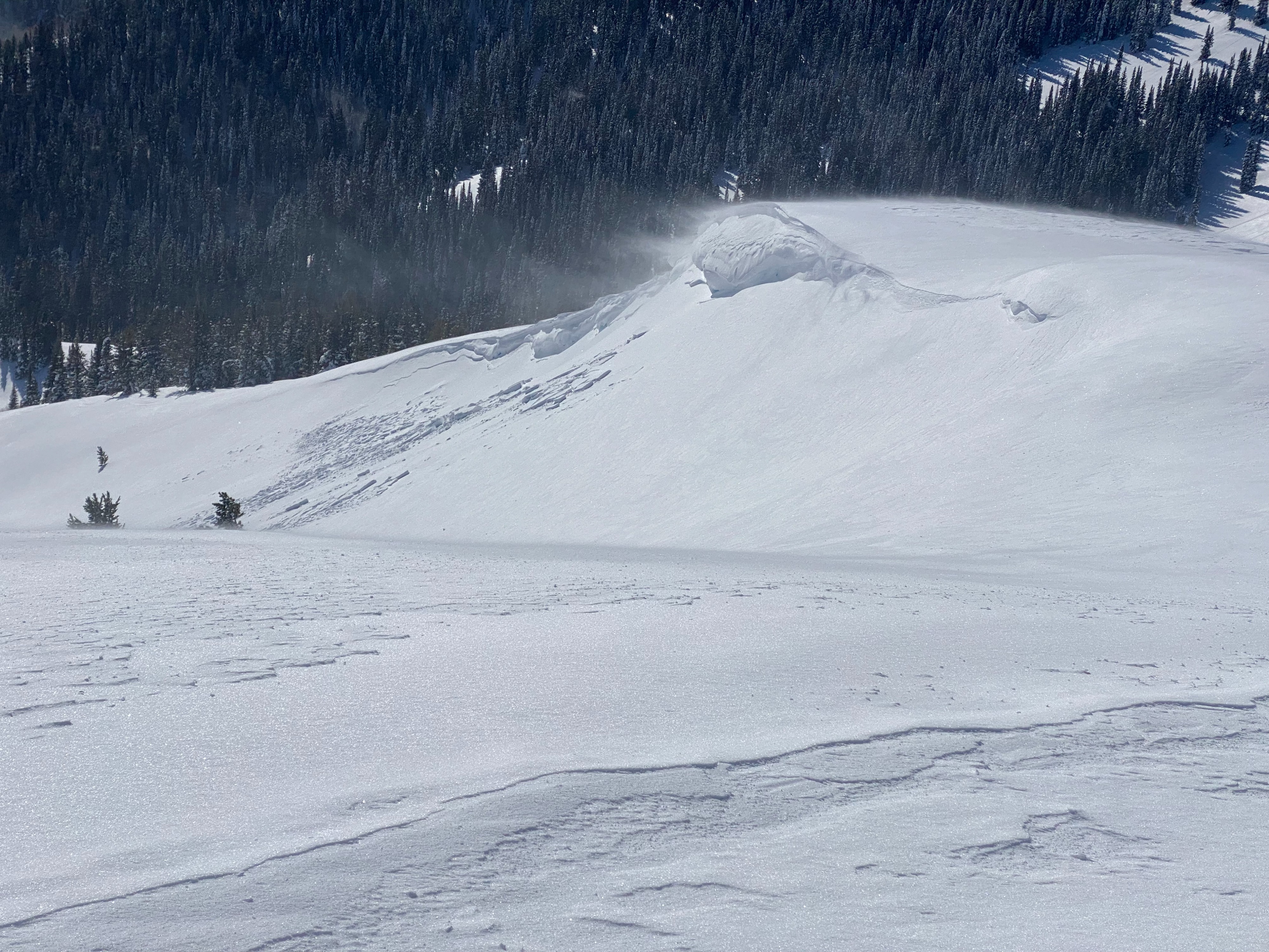
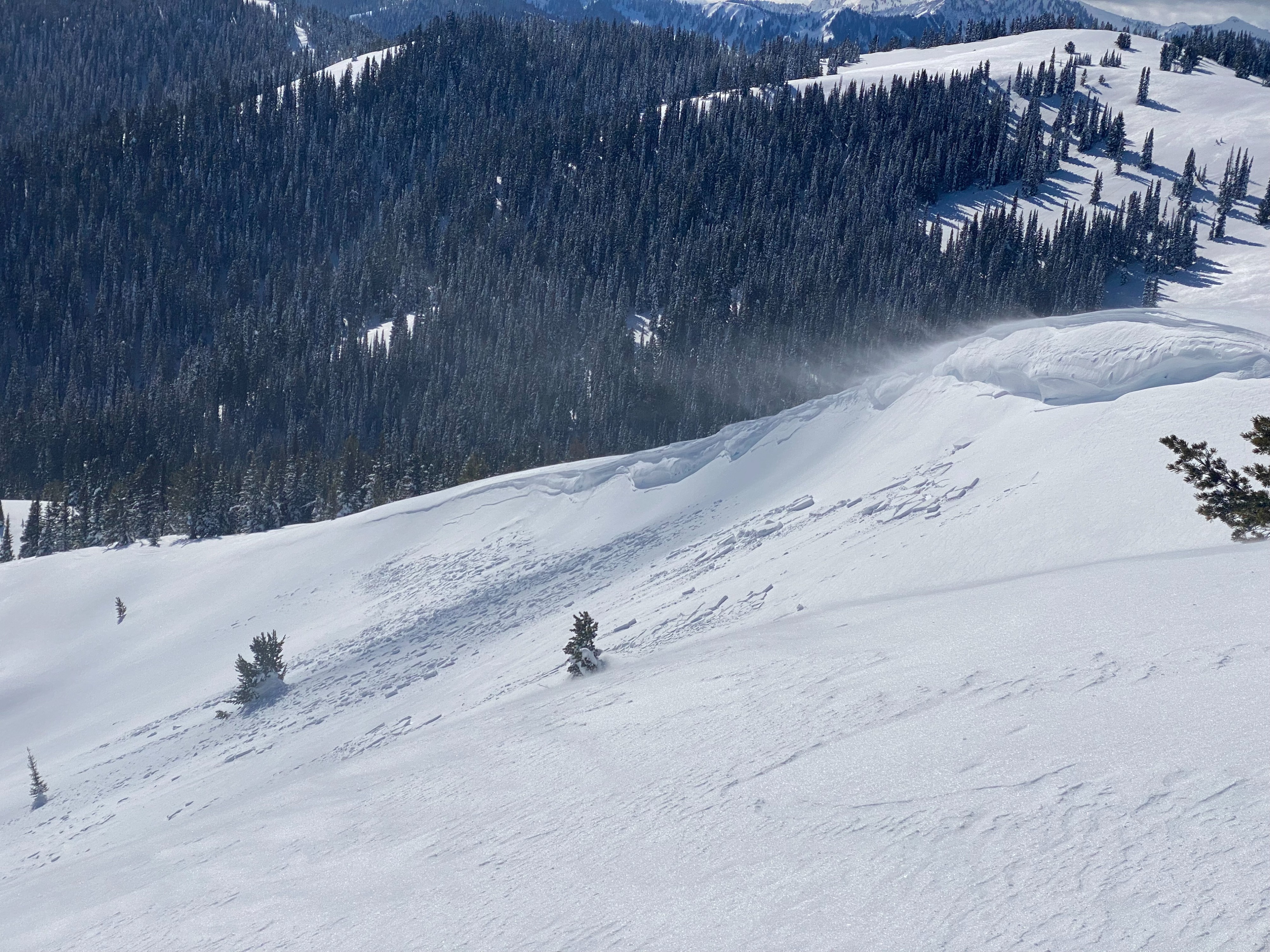
Snow was actively being transported out of the west today. Isolated shallow soft slaps were observed on the NE facing ridge line you ascend. Cornice developed on an E/NE aspect at 9k feet. No signs that it was human triggered but I didn't get too close. It appears the cornice failure caused a small slab to rip on the more NE facing part of the slope. Snow was warming pretty quickly today on solar aspects around mid-day, even at higher elevations (9k is the highest elevation I traveled today). Small failure but more evidence that cornices are sensitive right now. Isolated shallow soft slabs have formed on NE facing ridge lines since I traveled in the Oliver zone last weekend. No signs of cracking or collapsing.
Weather
- Air Temp
- upper 20s
- Cloud Cover
- few
- Wind Loading
- light
- Recent Snowfall
- 0
- Snow Avail For Transport
- moderate amounts
Warm and sunny day. Winds were moderate out of the west but snow was still warming under the sun.