
Quick report
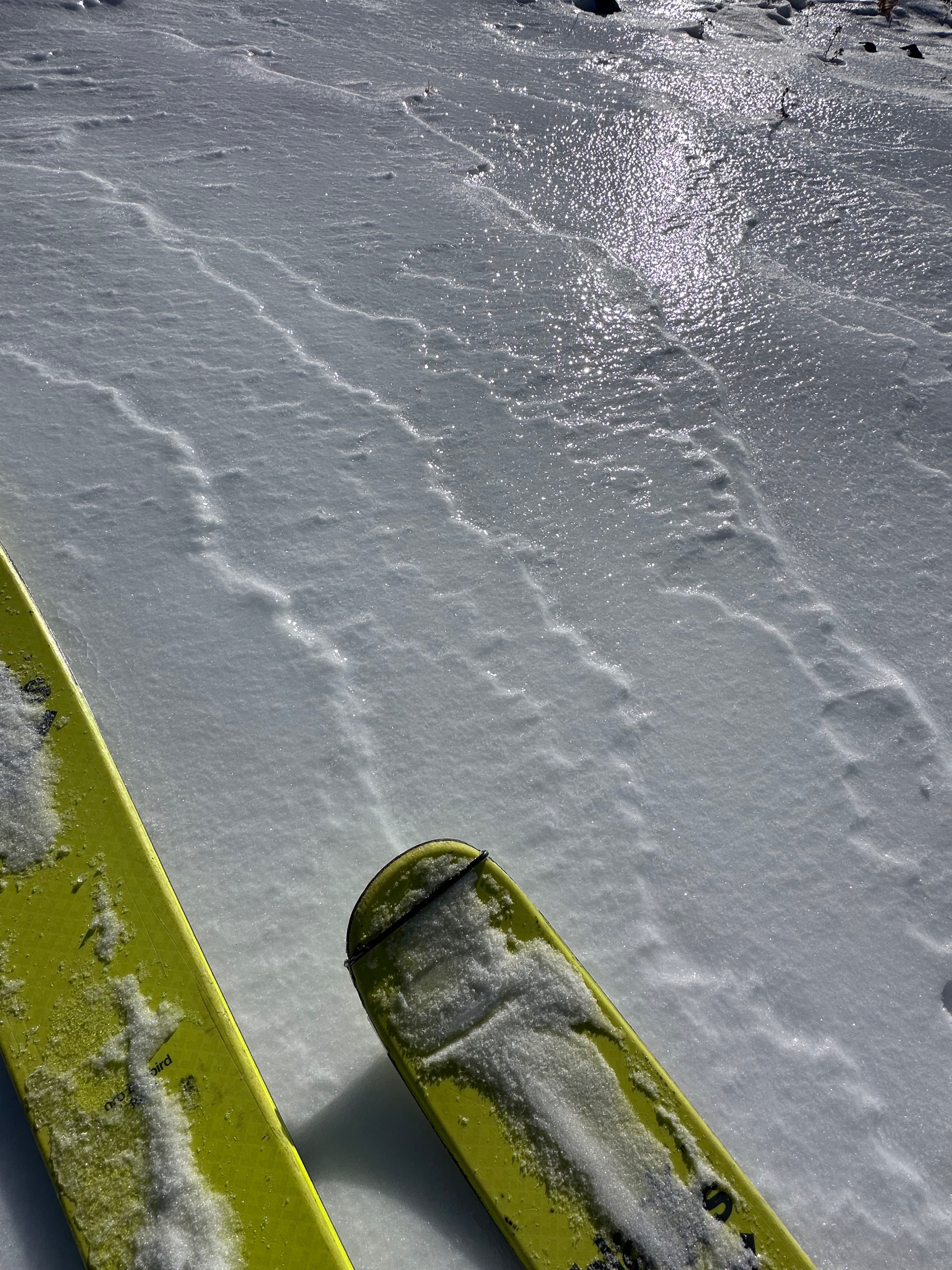
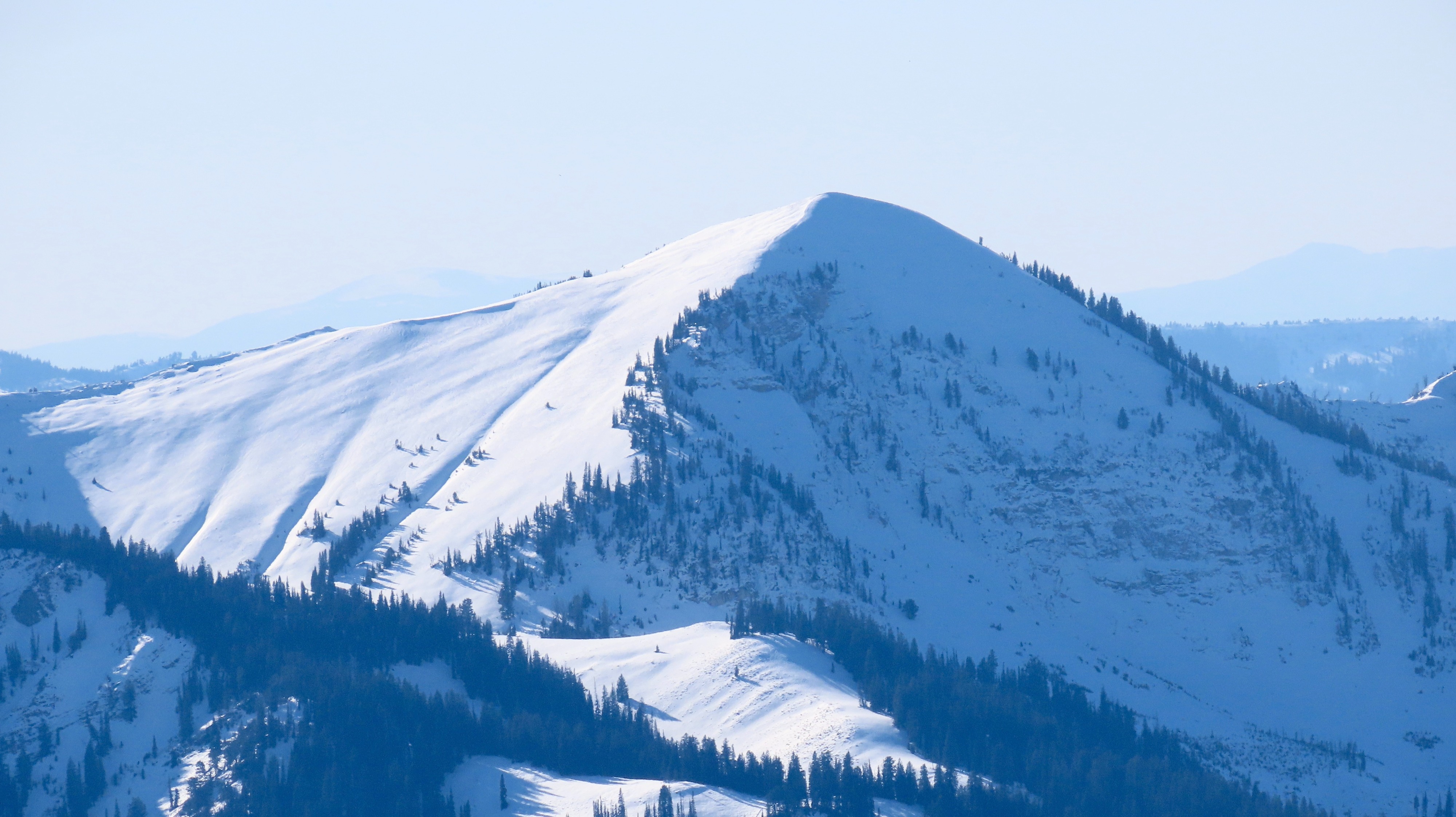
Clear skies, sun, and cold temps have worked over the snow on multiple aspects above 9,000 feet. The current snowpack is primarily composed of decomposing and faceted snow (par for the course this time of year) with a few crusts in the mix. Time will tell which dog will bite. A few days of warmer weather will bode well, but we're looking high and dry for a while.
Weather
- Cloud Cover
- clear
- Wind Loading
- previous
- Rain Elevation
- 9,600+
- Snow Avail For Transport
- none
Snowpack
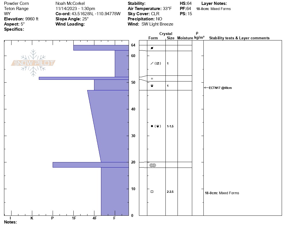
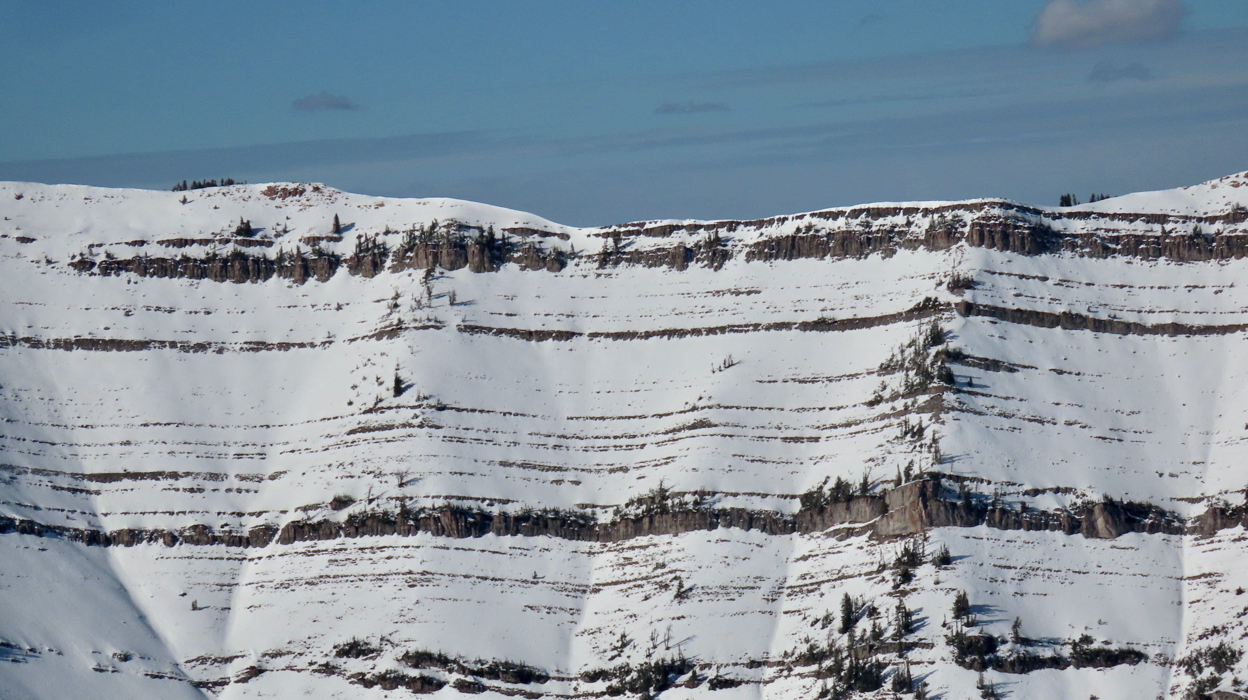
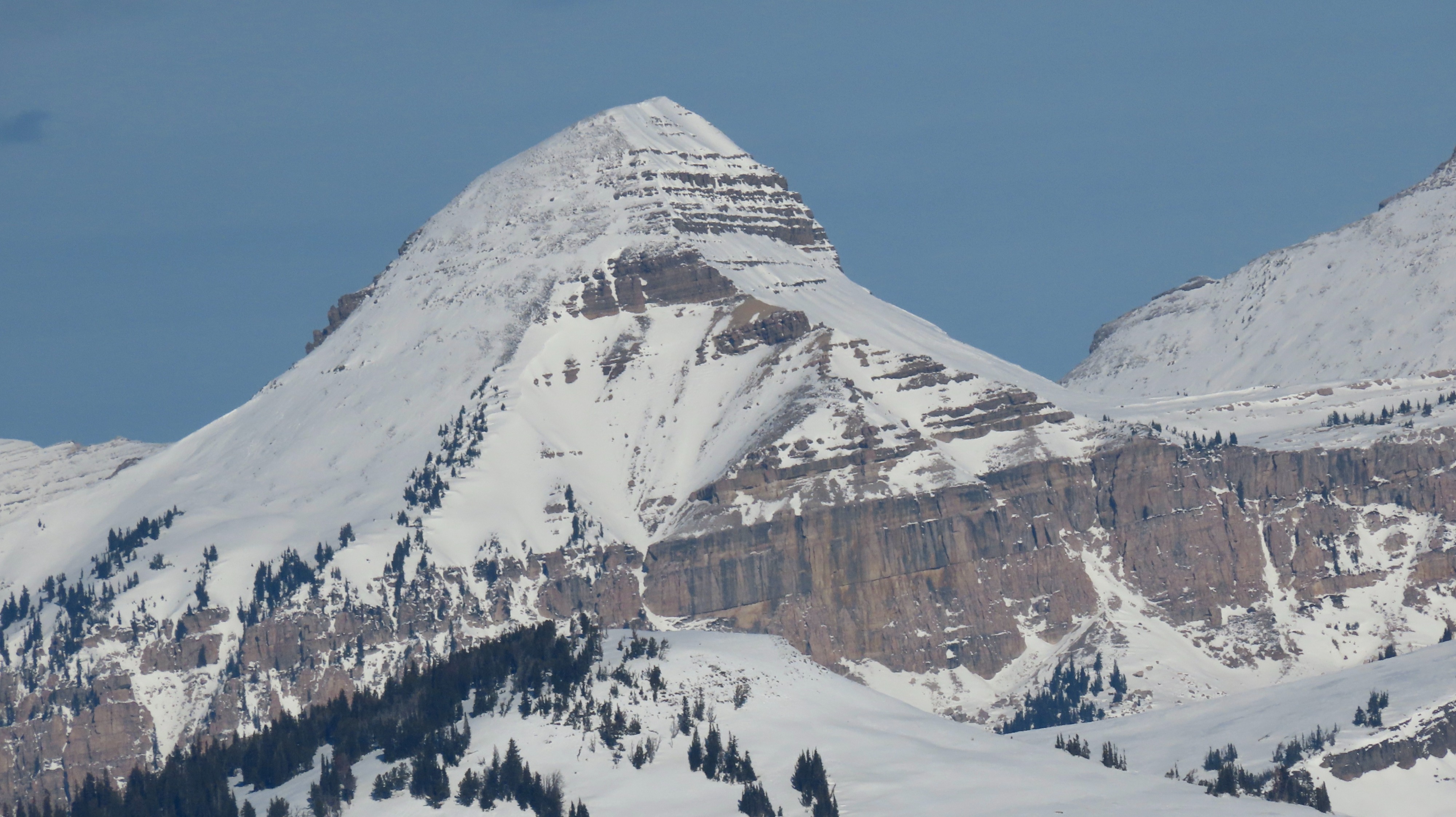
Well-connected areas of old snow that have been weakening exist on many aspects. We noted a rain crust from around 11/5 on all aspects (down ~25cm on a N aspect, also noted at Targhee), likely extending to about 10,500 feet. Glassing across the valley at the Pallisades, this rain crust was visible to the tops of many peaks where the wind had transported any snowfall from the last ten days off that surface. Total snowpack depth on N/NE aspects around 9,960' ranged from 50-70cm, with ECTN results in the teens on NSF below the rain crust. Most areas have melt-freeze mixed with facets at/near the ground. I'll take that over straight facets, but it all just depends on the upcoming weather.