

Quick report
The 2 to 3 feet of snowfall and winds in the first 8 days of January created varying layers within the snowpack and also buried older weaker interfaces. Weak layers of surface hoar from January 1st and the Grinch crust from December 24th rain show weak layer potential in snowpack structure; these layers are decreasing in sensitivity, but are difficult to trust and cannot be written off or forgotten yet. Variables in elevation and slope aspect contribute to differences - yet still emerging patterns - in snowpack structure, weak layer distribution and sensitivity, and slab depths. An upcoming stable weather pattern is expected to bring a similar trend to the snowpack.
Weather
- Air Temp
- +4C at 6700ft at 1pm
- Cloud Cover
- broken
- Wind Loading
- previous
- Rain Elevation
- above 7500
- Snow Avail For Transport
- none
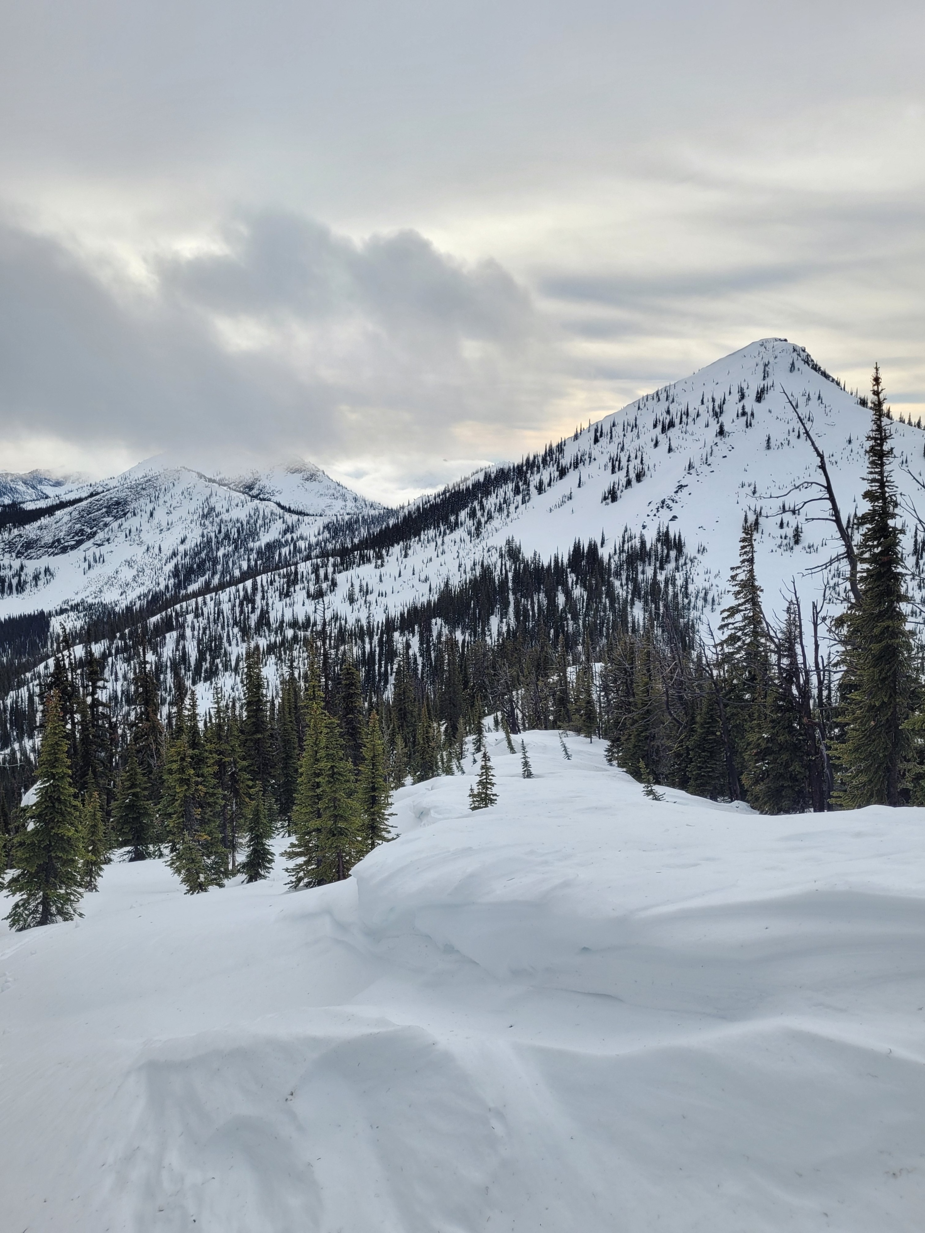
Warm temperatures, trees were dripping water and wet snow surfaces up to 7500ft. Light west winds. Mostly overcast with the sun occasionally poking through. Good visibility with intermittent inversion clouds blocking views moving up in elevation.
Snowpack
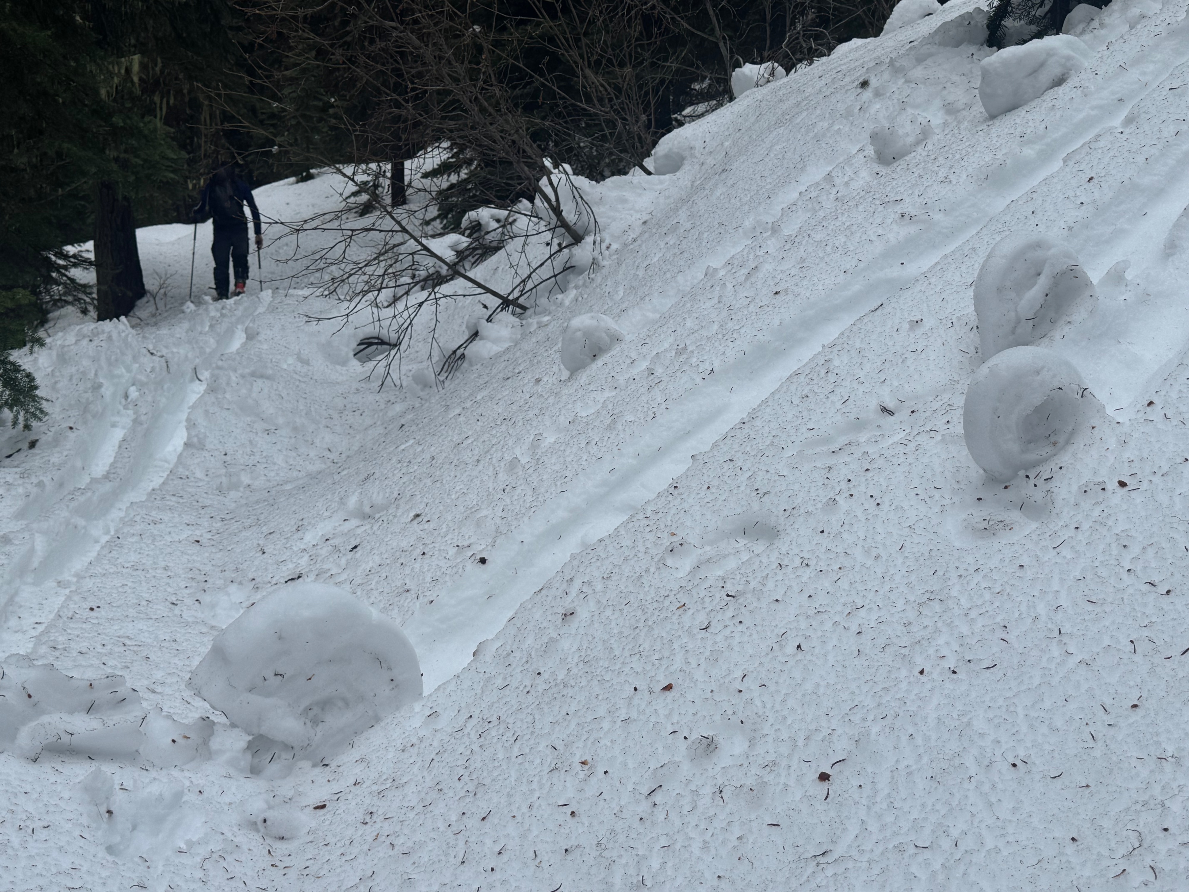
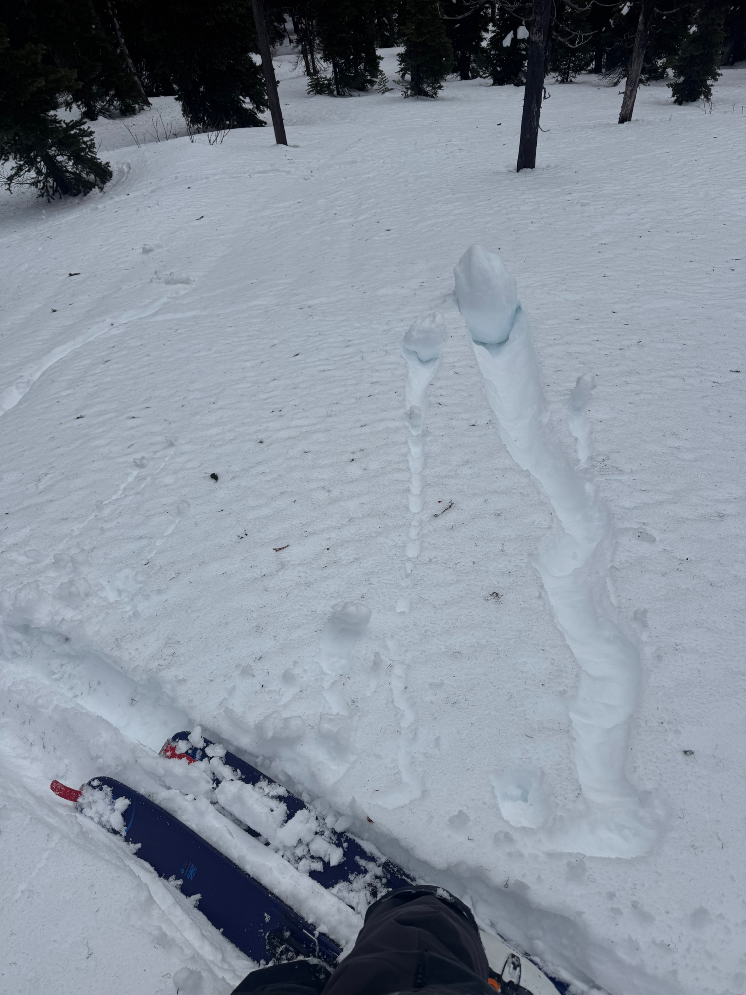
We found wet snow surfaces all the way up to 7500 feet, our high point for the day. About the same amount of surface snow (top 5 to 10cm) was wet throughout our travels. This provided shallow ski penetration (5 to 10cm) and faster travel conditions. Traveling up in elevation showed a trend of moist to dry snow closer to the surface underneath the wetted surface. Roller balls on the surface were observed on most aspects and elevations. At 2pm a paper thin surface crust was forming on an East aspect. Evidence of recent and previous strong winds were shown by wind blown vegetation on the wet surfaces and older, stubborn feeling, wind pillows and drifts along ridgetop.
A quick pit at 6000 feet (SE aspect, HS 200cm) found a P- hard decomposing 2cm thick crust down 40cm, and moderate force CT RP (x2) down 45cm.
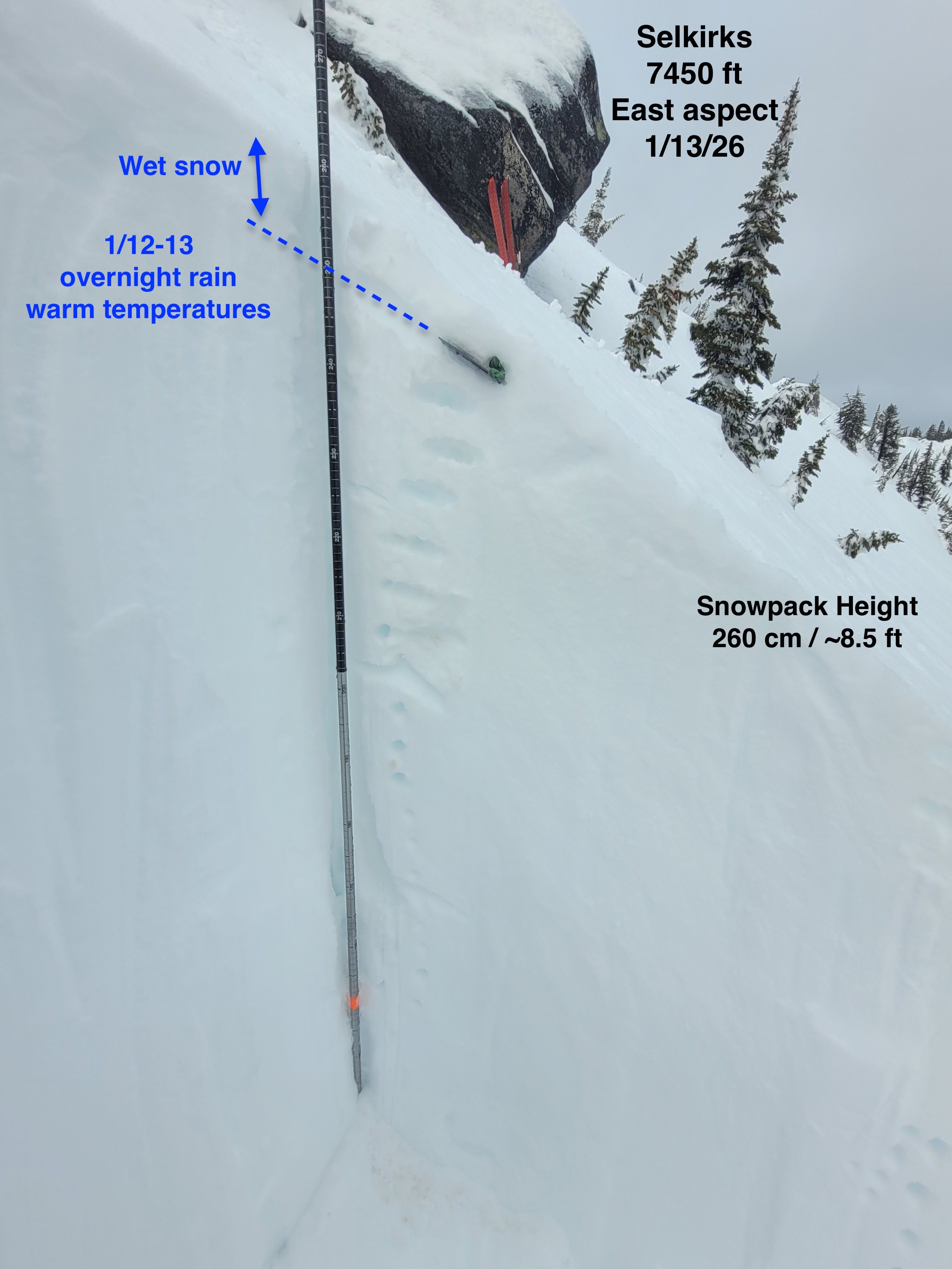
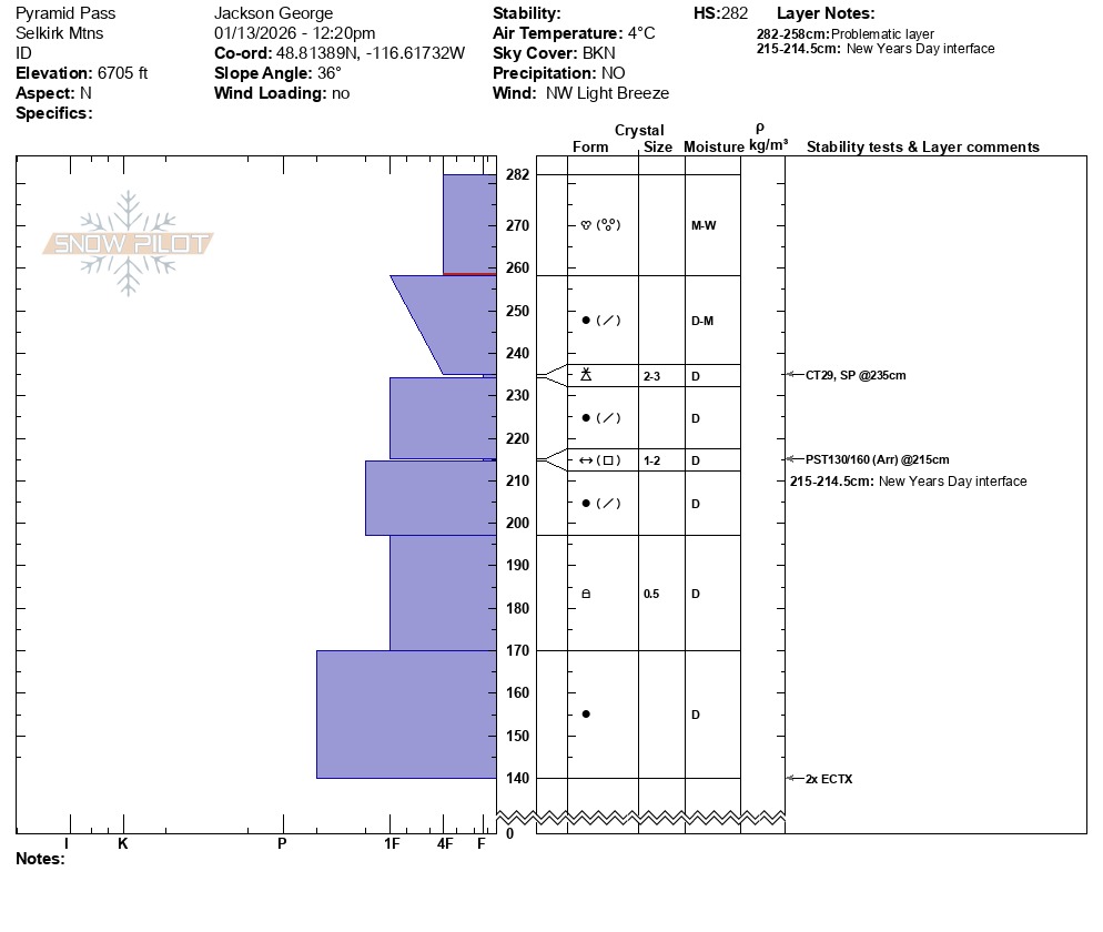
At the general location of today's observations in this area at higher elevations, above 6500 feet, we could not find evidence of 1/1 surface hoar in NW and E aspect pits (at elevations 6700 and 7450 feet respectively). No prominent crusts observed in the top 100cm at these locations either, and total snowpack heights of 280cm and 260cm. At the 7450 foot site, the first detectable crust felt by probe was down 150cm from the surface and felt about 10cm thick. Snowpack tests show moderate to hard force resistant results within 4F hard storm layers and easy CT PC results in top 10 to 20cm of wet to moist snow. Generalizing between the two aforementioned pit sites, layers of: thin layer of 2mm graupel, decomposing fragmented needle like uncohesive grains, and right-side up hardness changes were the layers of concern we identified.
Avalanche
- Size
- D2 R1
- Count
- 2
- Aspect
- NE
- Trigger
- N
- Elevation
- 6600 ft
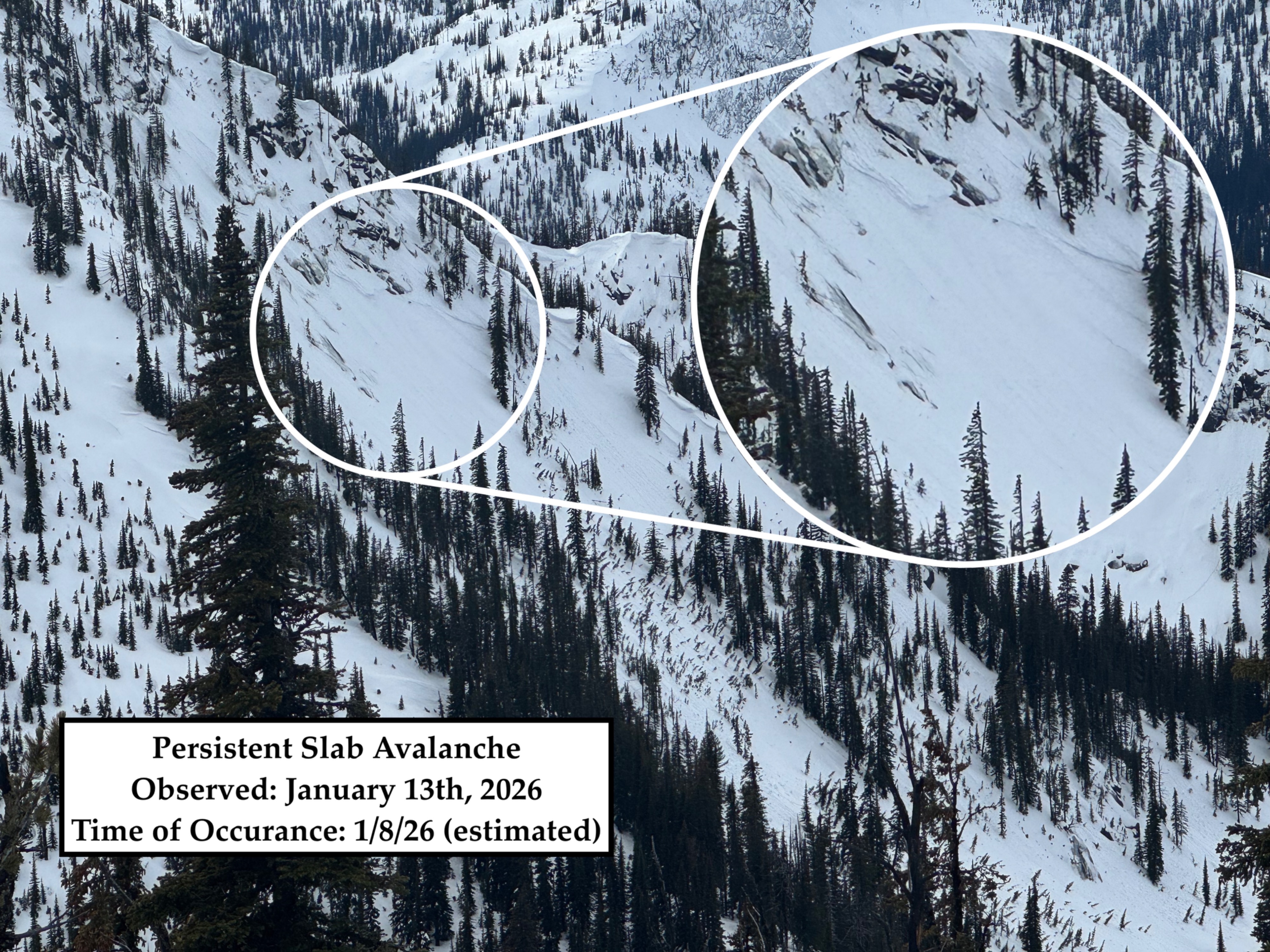
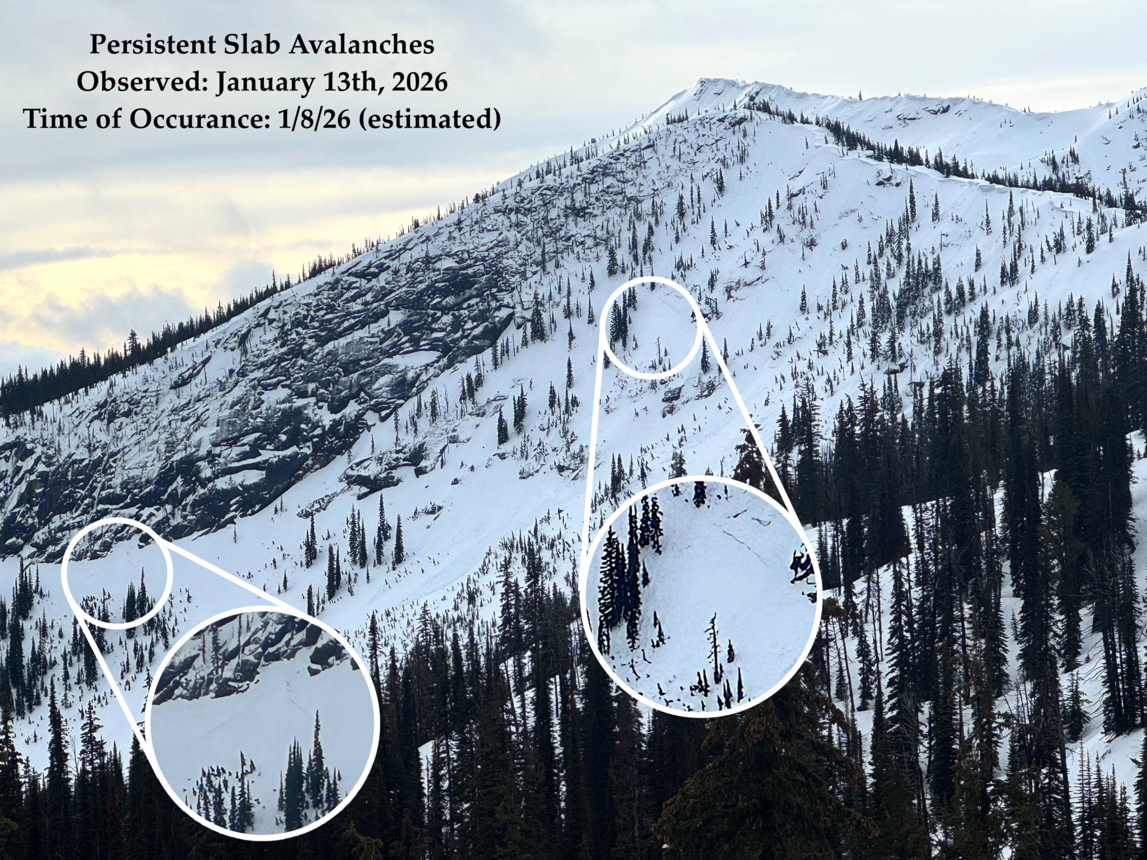
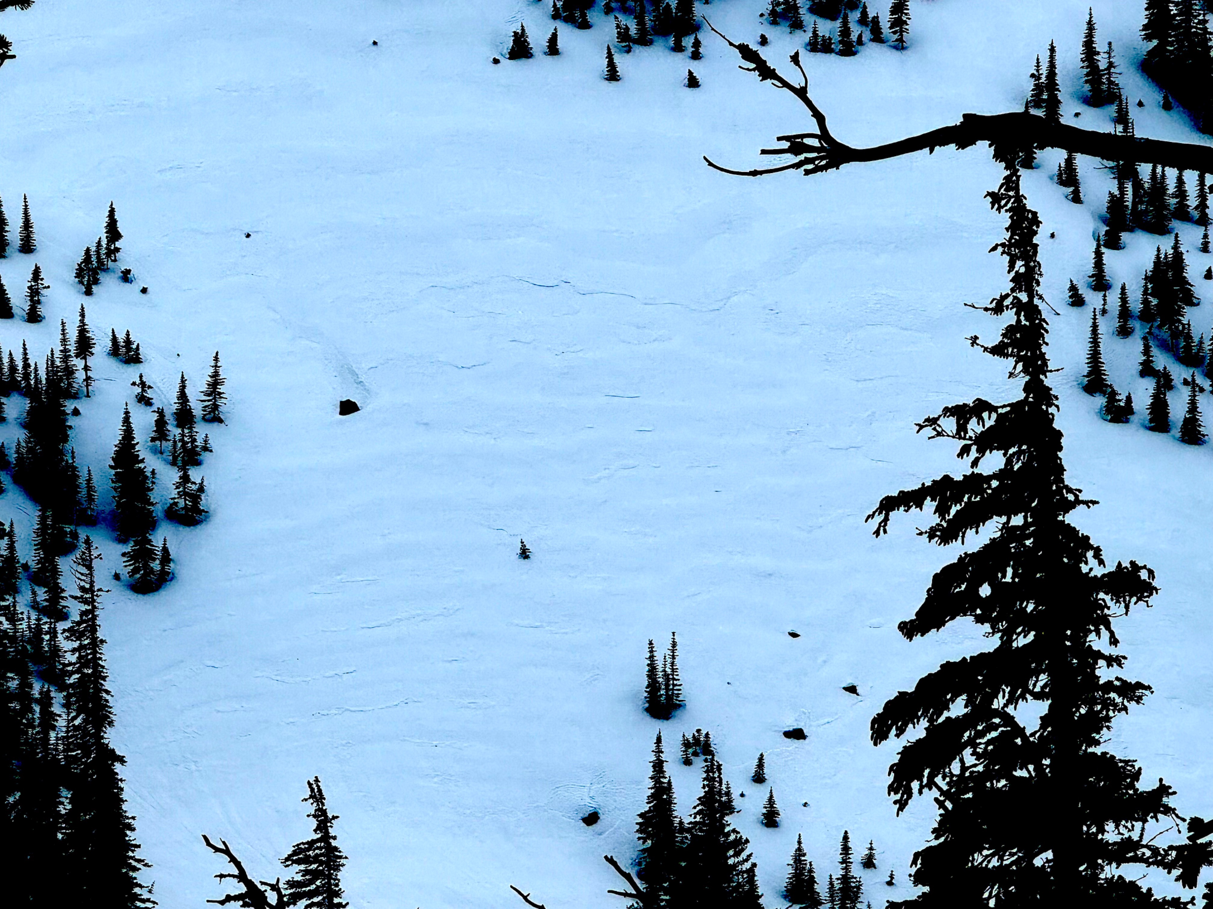
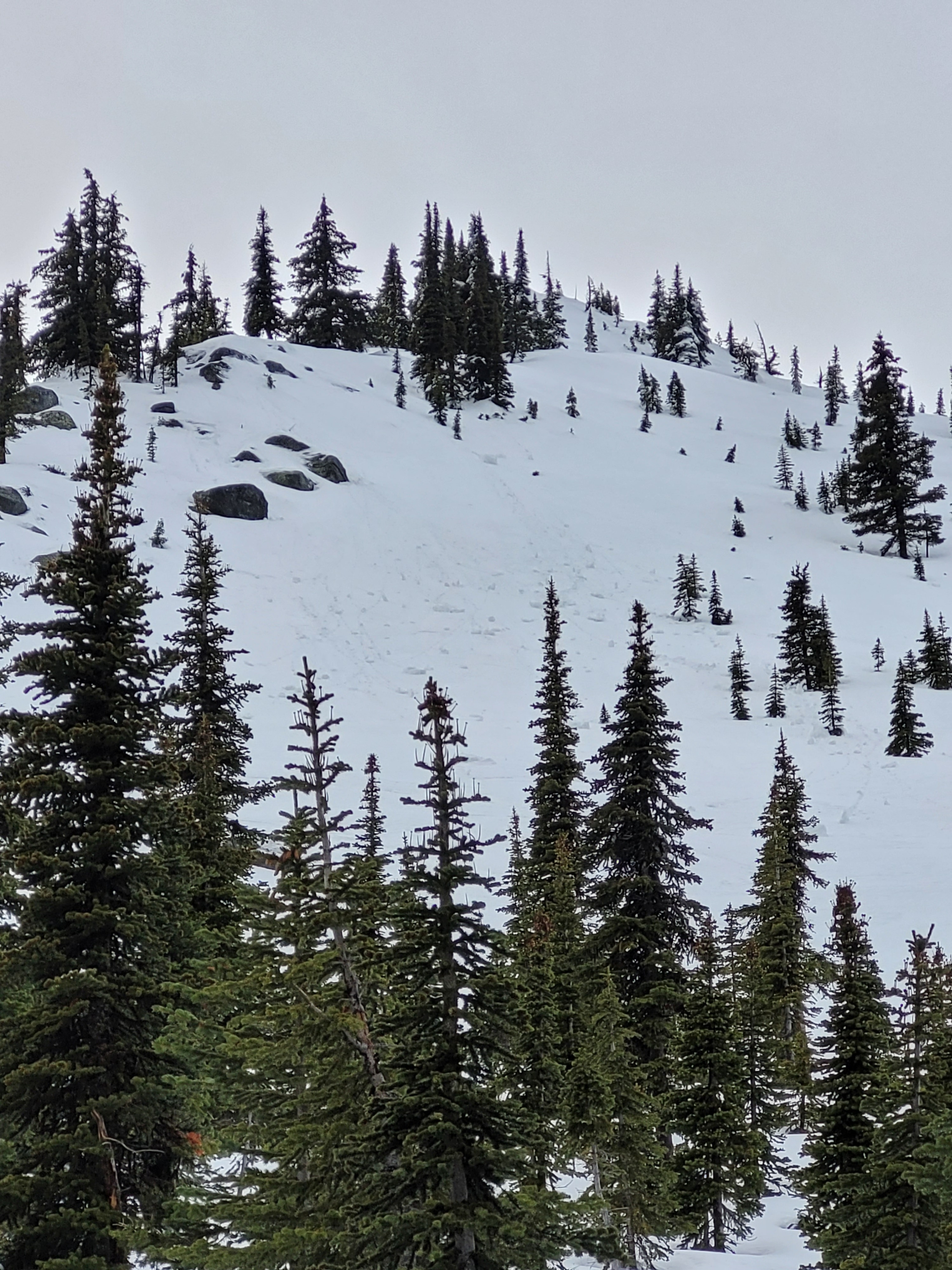
Recent small to large wet loose. Some older partly/mostly buried crowns and debris pile.