
Quick report
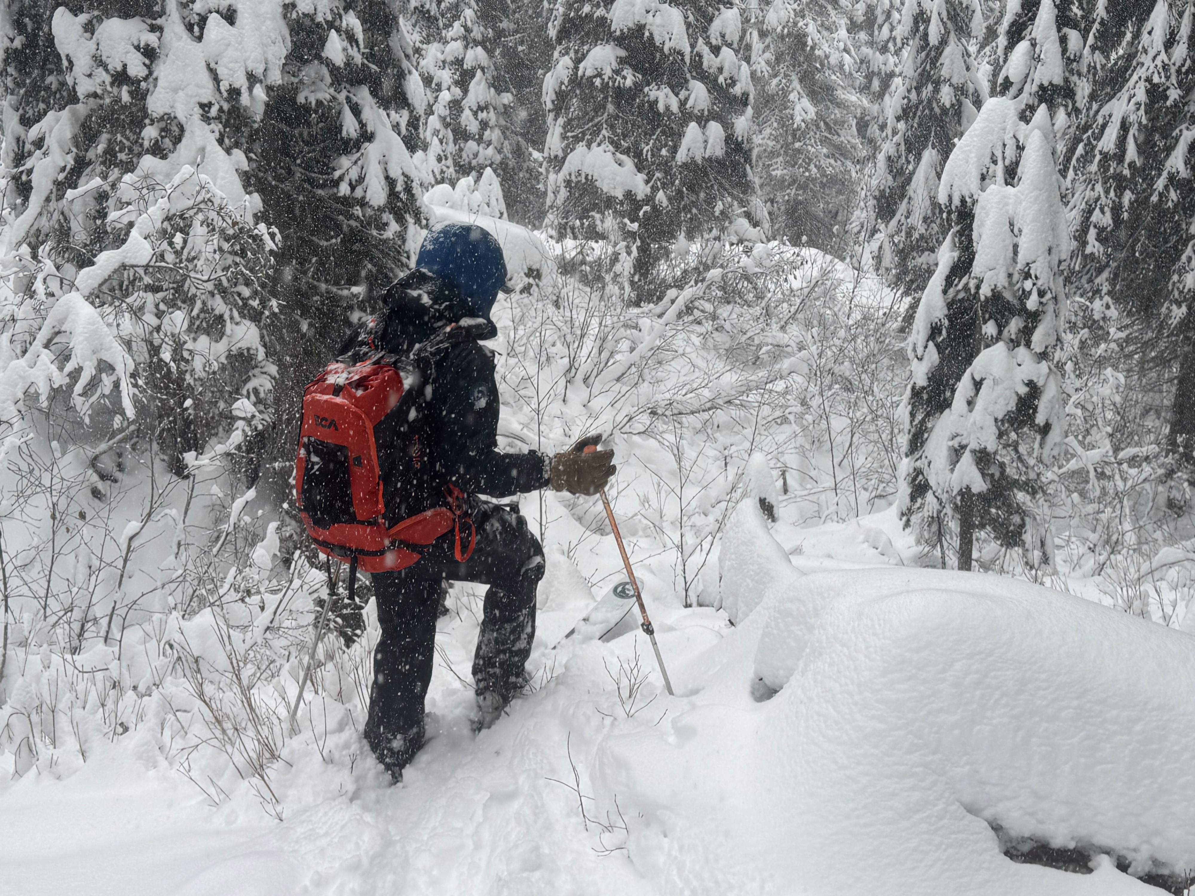
Today we sledded into the Upper Pack River to verify new storm totals, assess our persistent slab problem, and search for evidence of recent wind loading.
• About 5 inches of new snow accumulation during the day.
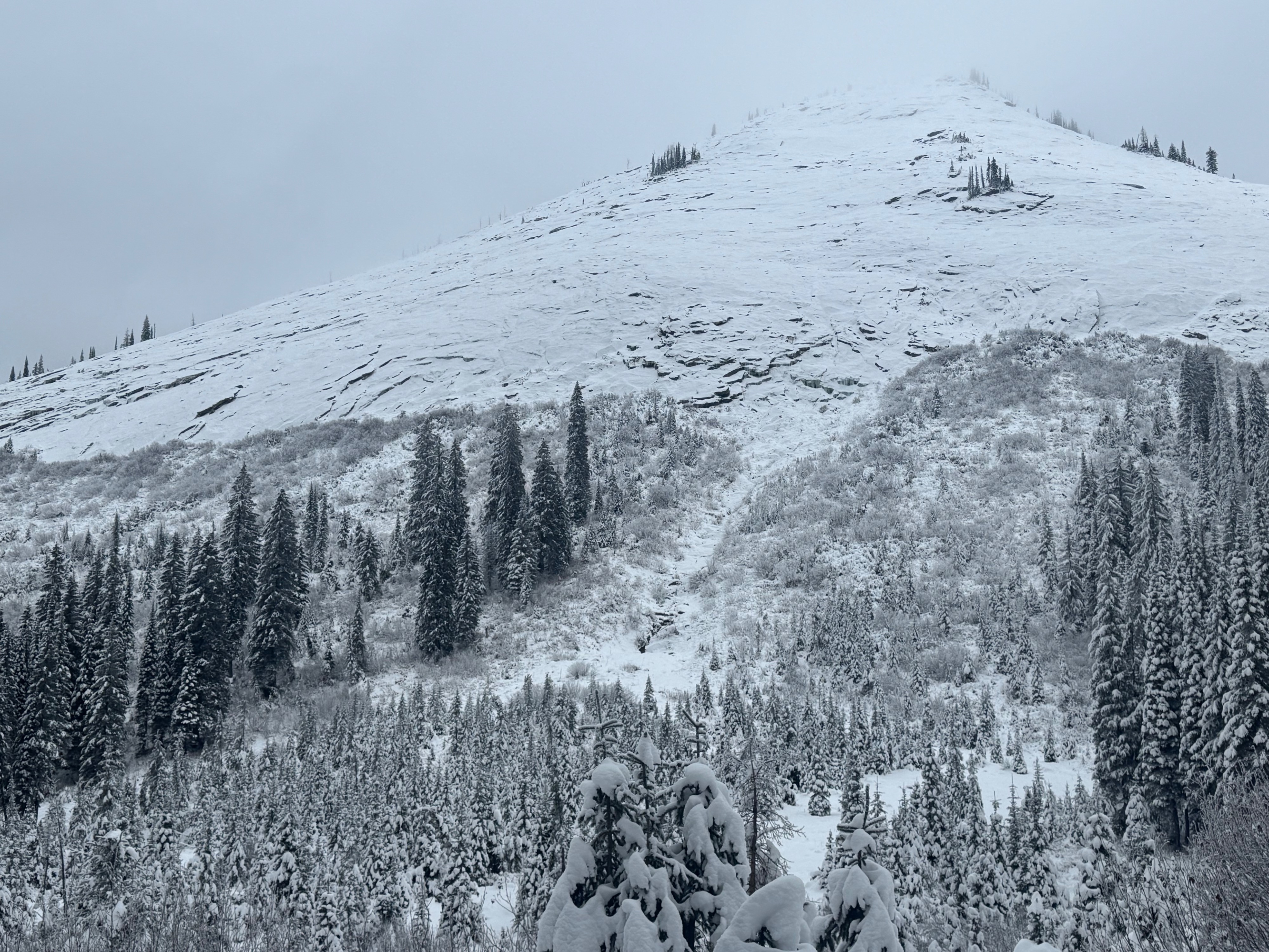
• Persistent slab structue present above 5000 feet. No recent avalanche activity observed, however visibility was not great.
• Our travels terminated at a high point of 6100 feet. Winds were calm at and below this elevation all day. Uncertain about whether or not winds were active and strong enough at higher elevations to build fresh slabs.
Weather
- Air Temp
- not observed
- Cloud Cover
- overcast
- Wind Loading
- none
- Rain Elevation
- not observed
- Recent Snowfall
- 12
- Snow Avail For Transport
- large amounts
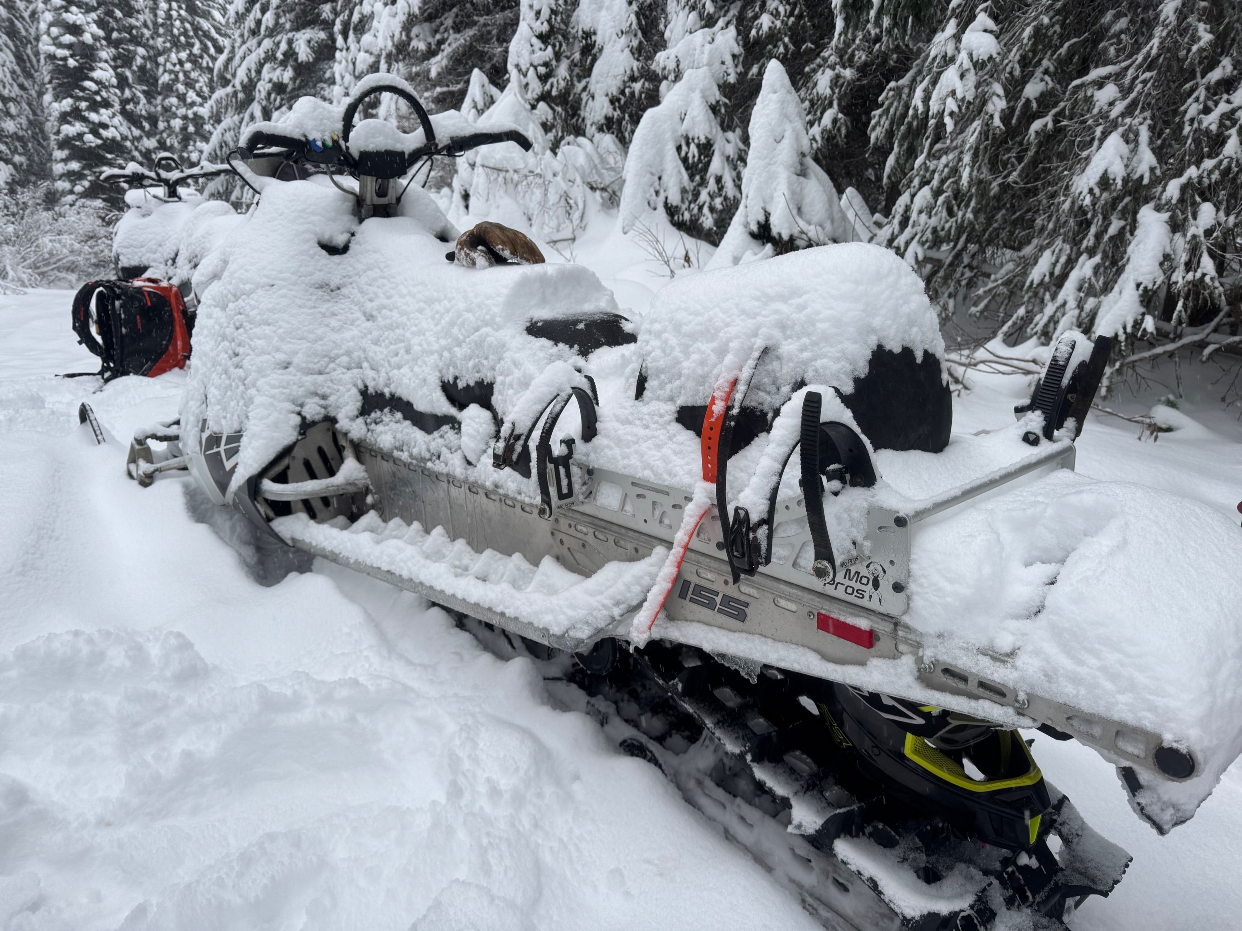
• Cold and cloudy day in the Upper Pack River • Snowfall started around 10am and continued through the rest of our tour. • An estimated 12cm fell during the day. 9cm (3.5 inches) accumulated on our parked snowmobiles over a period of about 4 hours. • Very calm weather with no wind transport observed at middle and lower elevations. Visibility of higher peaks and ridgelines was obscured.
Snowpack
• 4700 feet (no aspect)- HS 30cm. 11/23 hard crust present but thin (bottom 5cm)
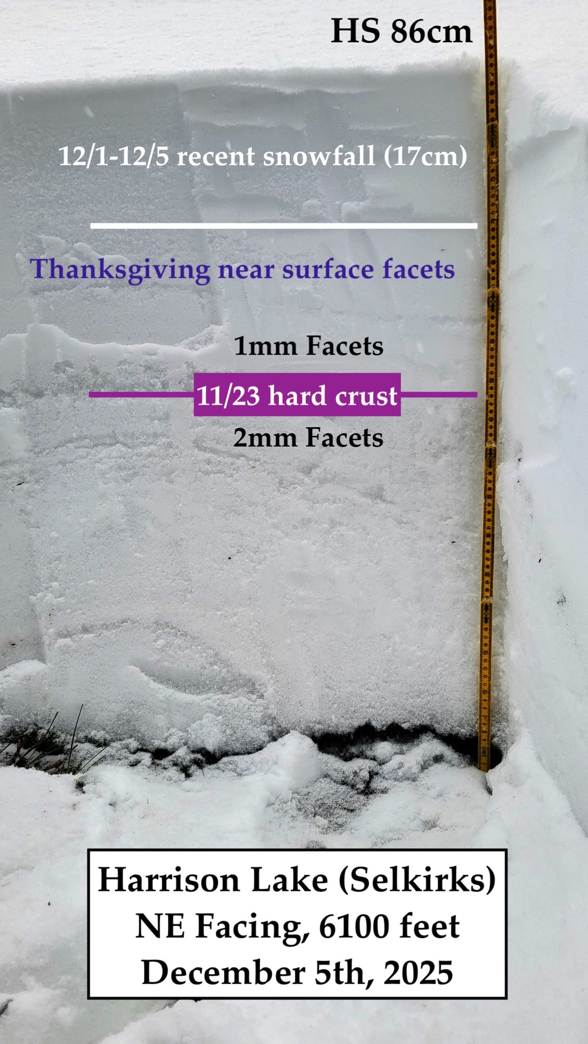
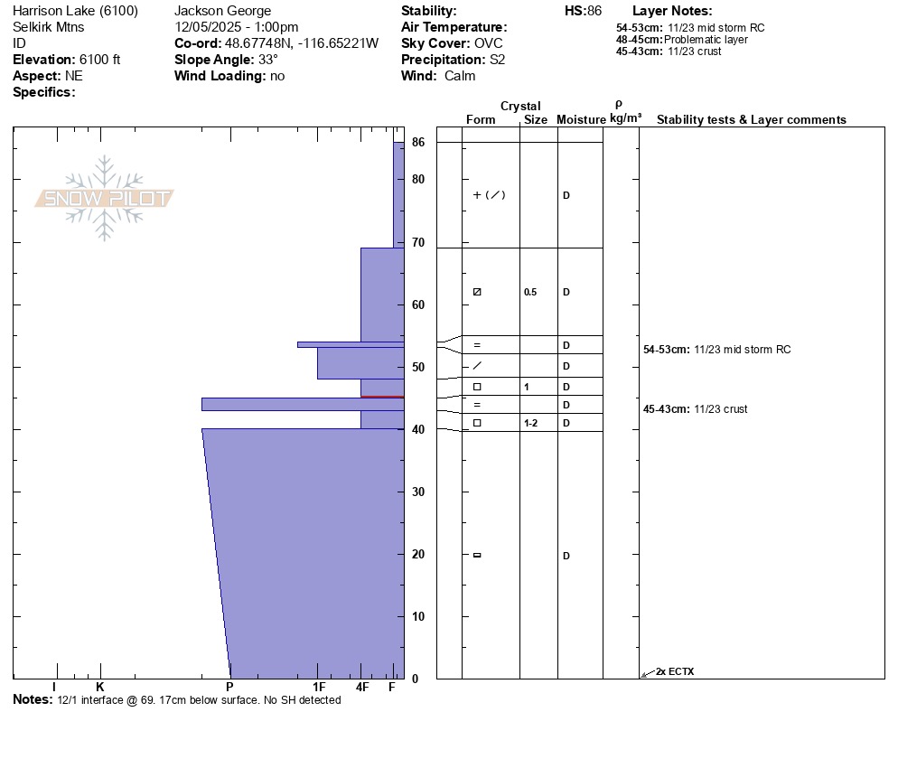
• 6100 feet (NE)- HS 86cm. Similar snowpack structure to what has been observed elsewhere in the region albeit much deeper overall. Mostly due to the notably thicker old snow layer composing the bottom 45cm of the snowpack. Our layer of greatest concern continues to be a thin layer of weak facets above the 11/23 hard crust. Surface hoar not detected at the 12/1 interface.
*More snowpack details attached in the Snowpilot graph.
Avalanche
none observed