
Quick report
- Cracking
- specific
- Collapsing
- specific
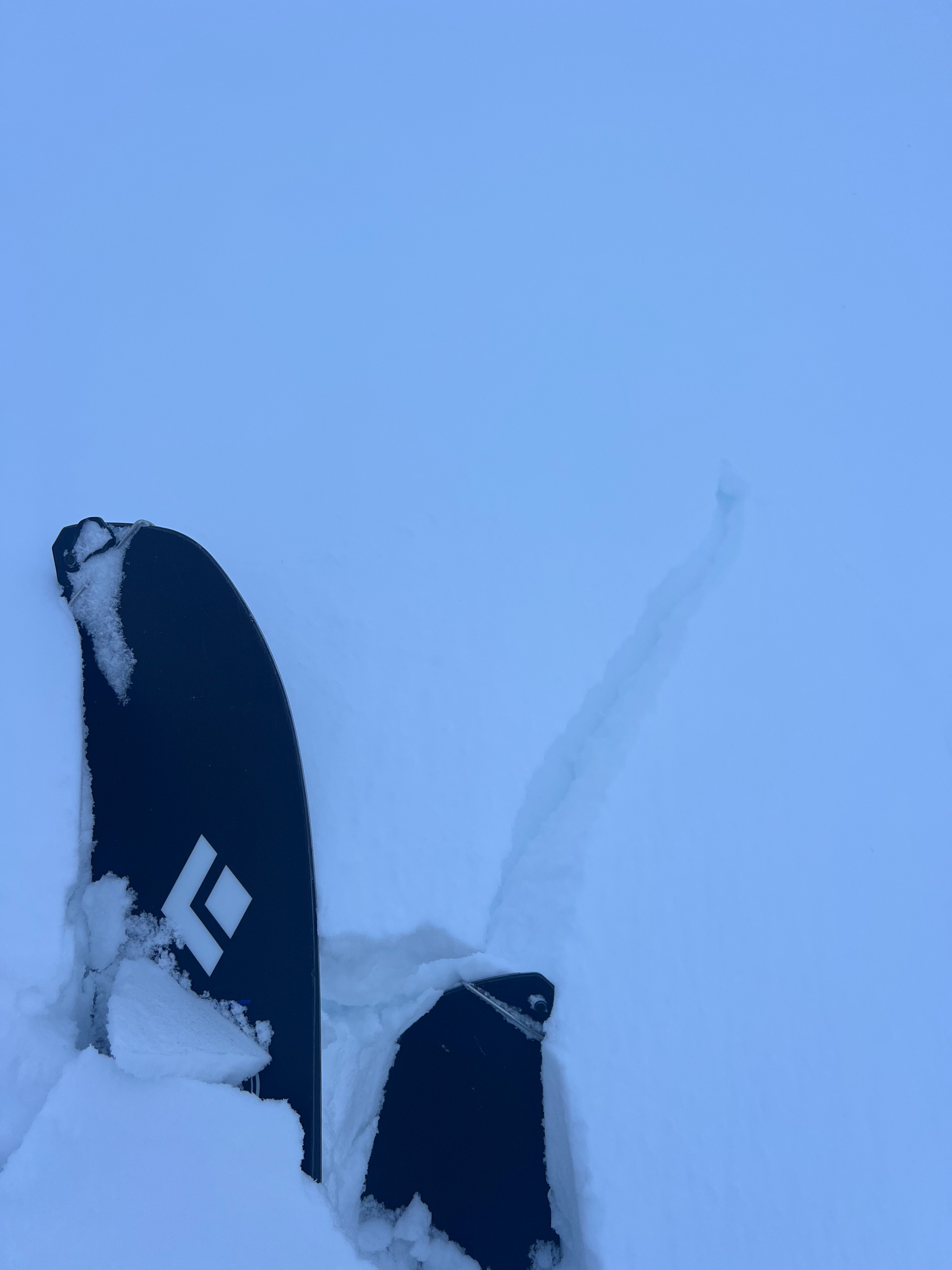
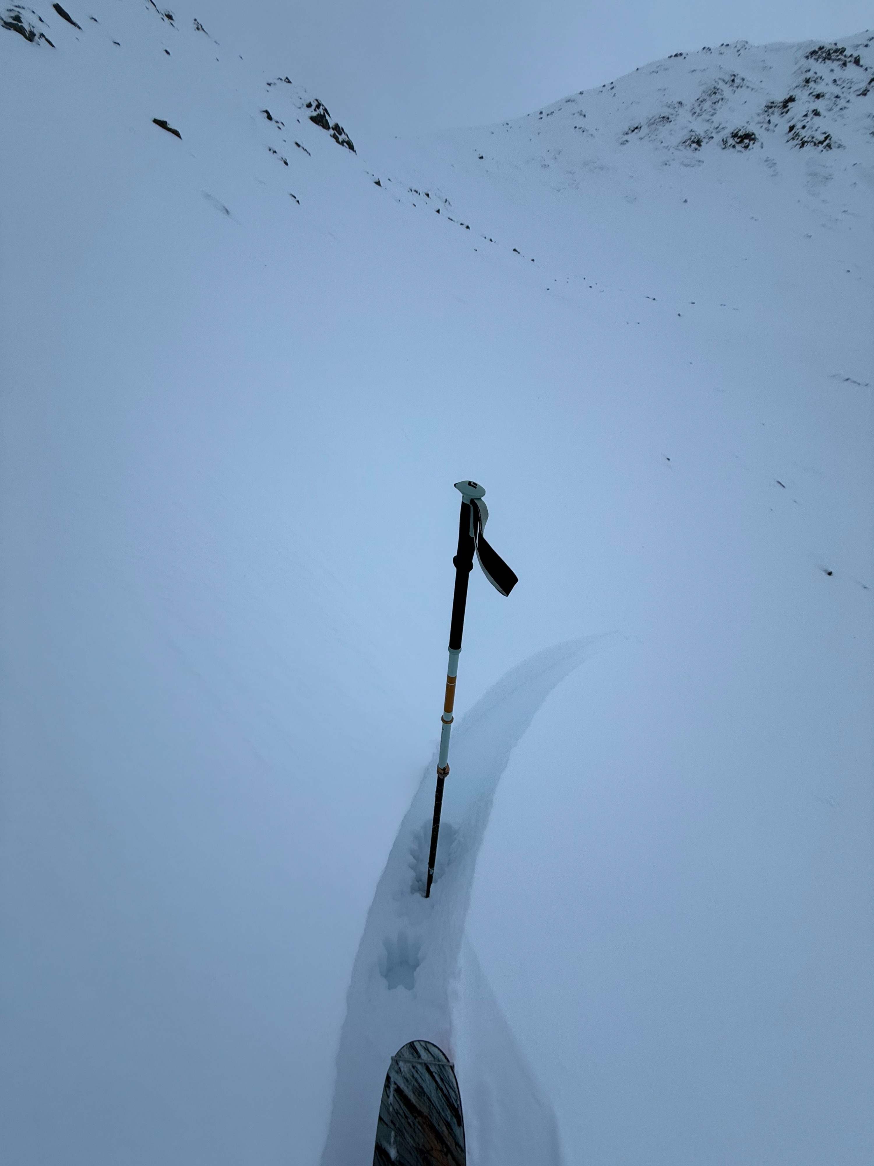
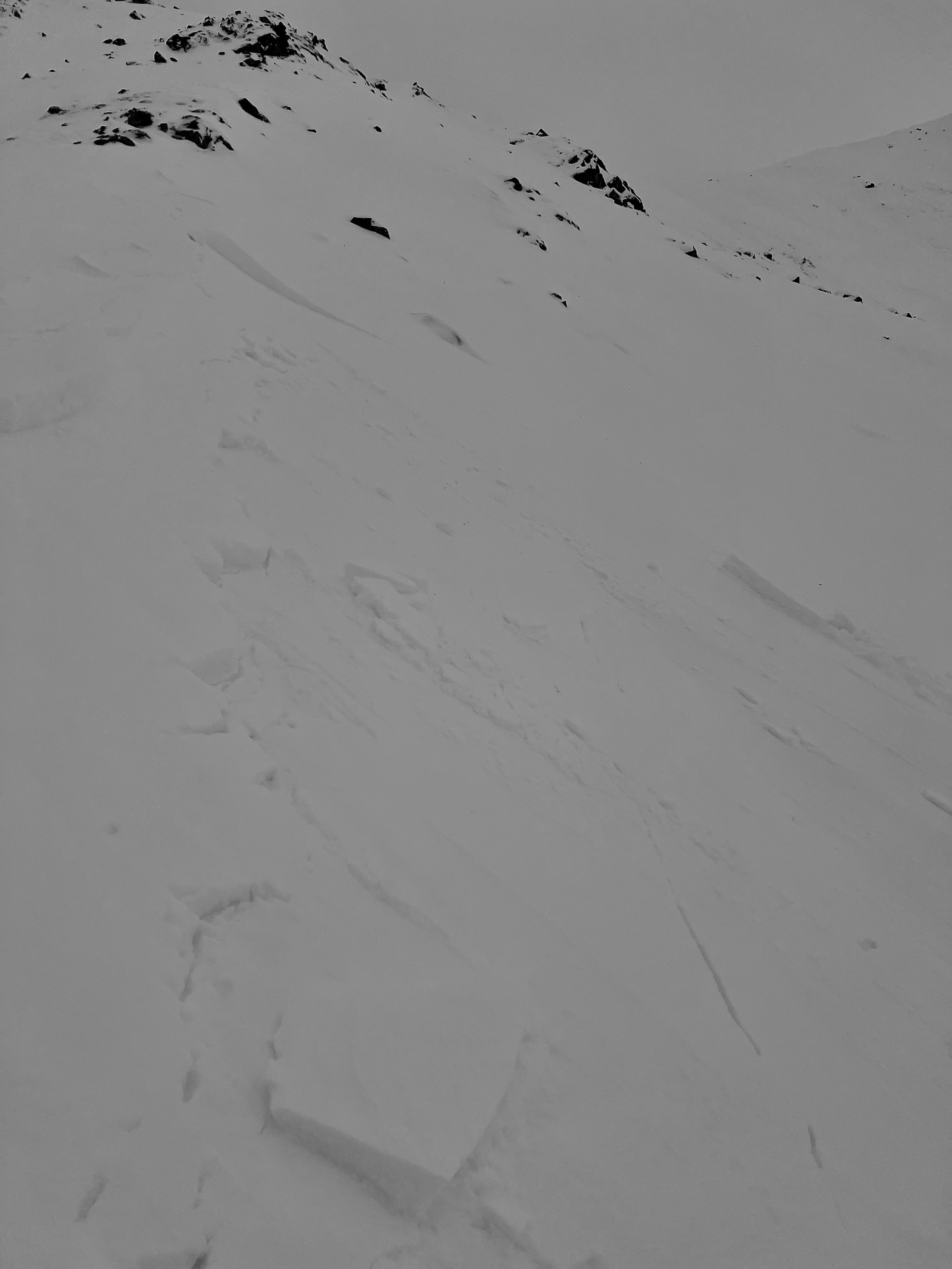
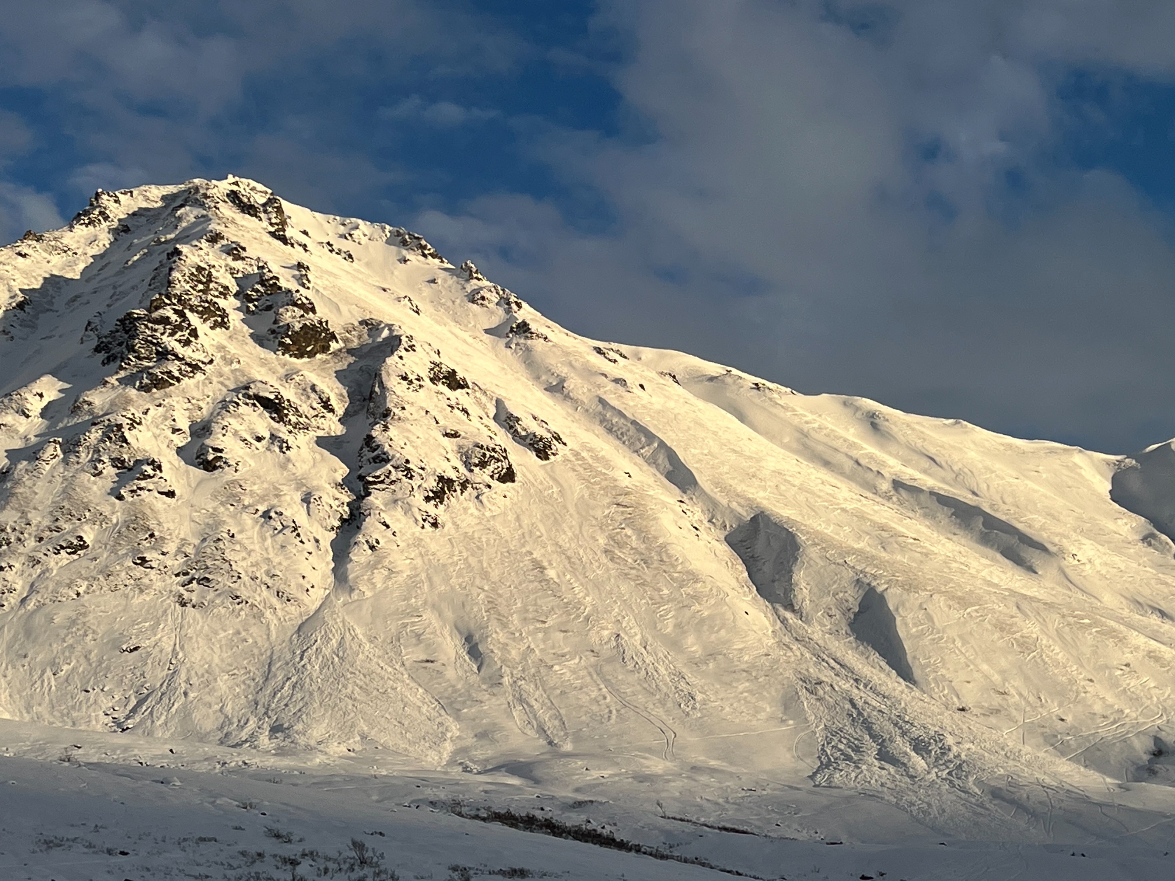
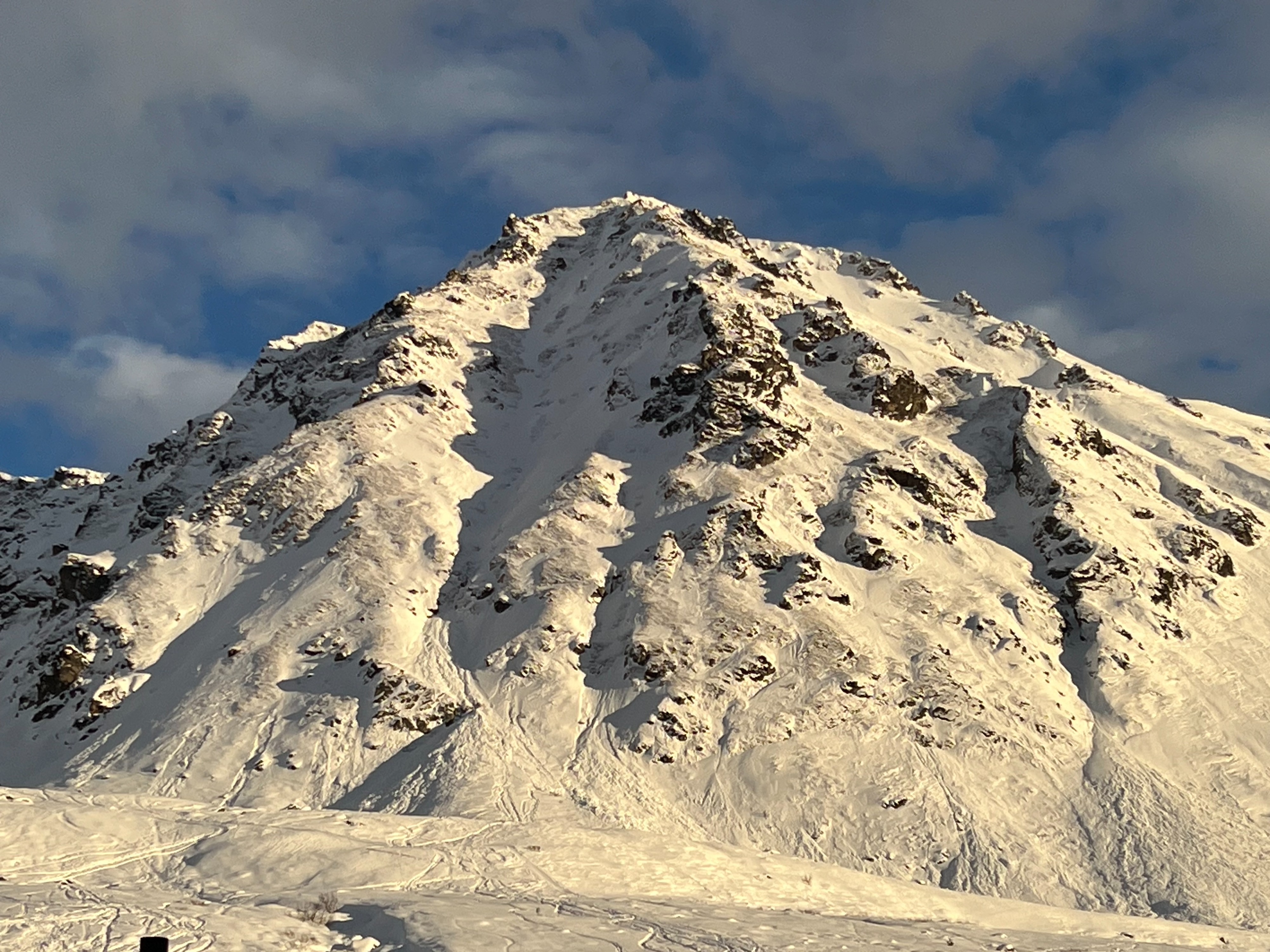
In some areas lower down in the bowl, warm snow protected from the wind behaved like a heavy slab but lacked energy. We could only get failure in steep gullies where it moved on the October rain crust. Higher up (above 3,600'), we experienced numerous shooting cracks and whumphs on terrain specific to leeward snow transport (clockwise W-NW-N). Some isolated NE features showed signs of cross-loading. At 4,000' right below ridgeline on a leeward NW aspect, we saw more reactivity (see test slope avalanche below). On these specific aspects, fokksnø (wind slabs) were easy to find and reactive.
Weather
- Air Temp
- 31
- Cloud Cover
- broken
- Wind Loading
- moderate
- Rain Elevation
- 3,600'
- Recent Snowfall
- Trace rain below 3,600'
- Snow Avail For Transport
- small smounts
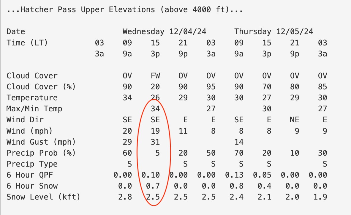
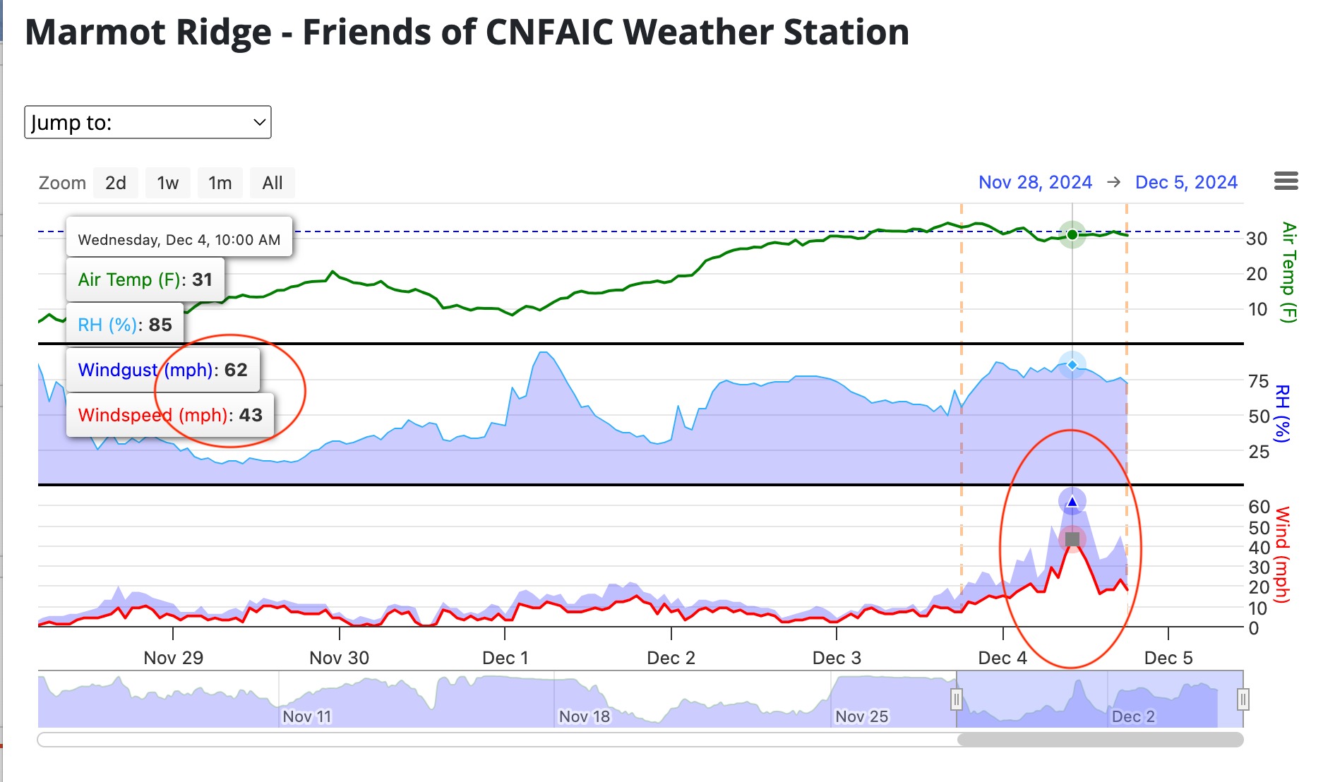
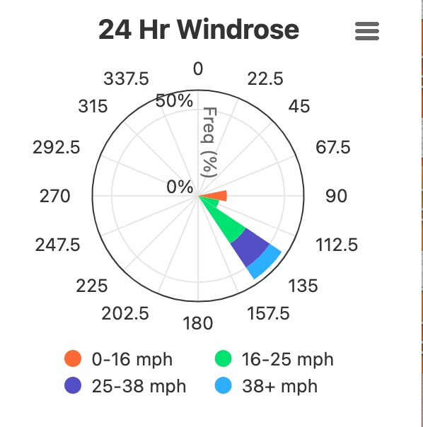
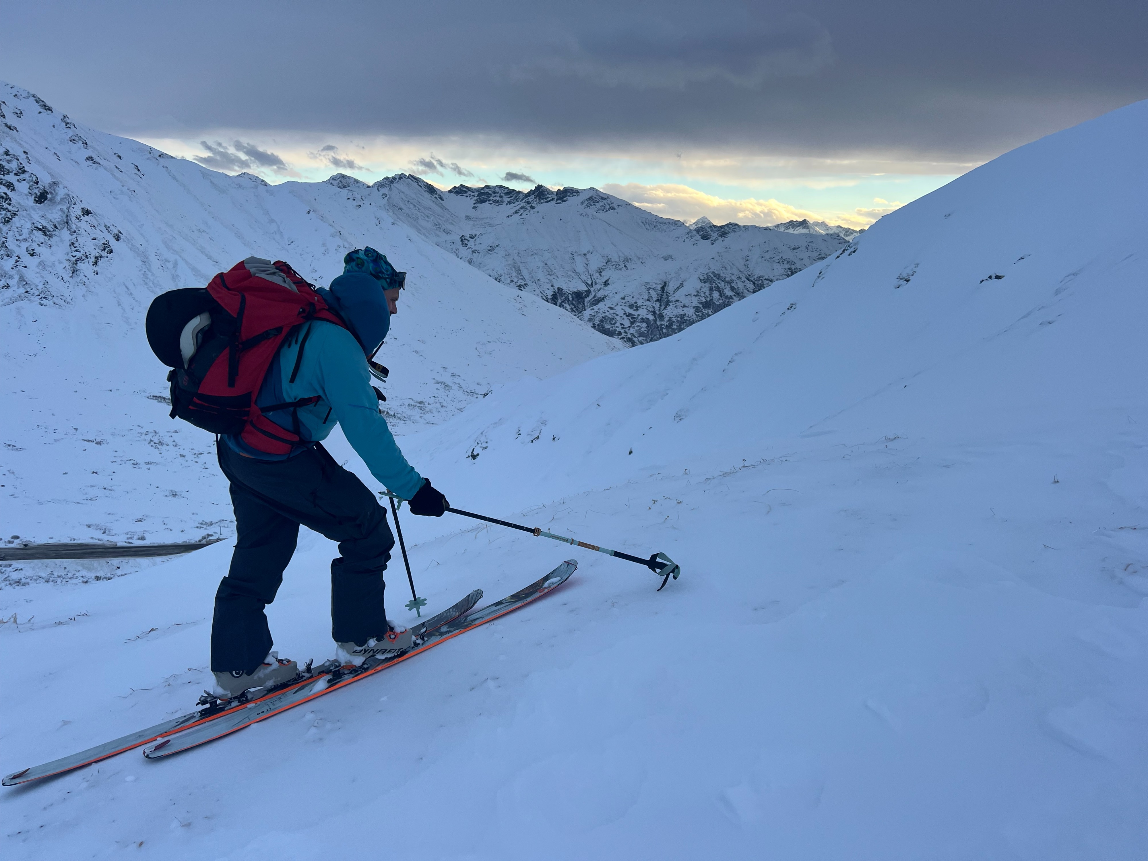
Above-freezing temperatures, strong gusting extreme southeast winds and a possible wintery-mix (rain and small amounts of snow) were the name of the game yesterday with freezing levels all the way up to ridgeline level at 4,500' (see weather data photos below). We found evidence of trace rain on our tour up to around 3,600' at which point we saw more evidence of wind transport (see snowpack section). Temperatures were warm and hovered around freezing the whole day with moderate-strong easterly gusts. We did see small amounts of snow being transported at ridgeline. Skies were broken with decent light, specifically right at 1400.
Snowpack
(See signs of instability above)
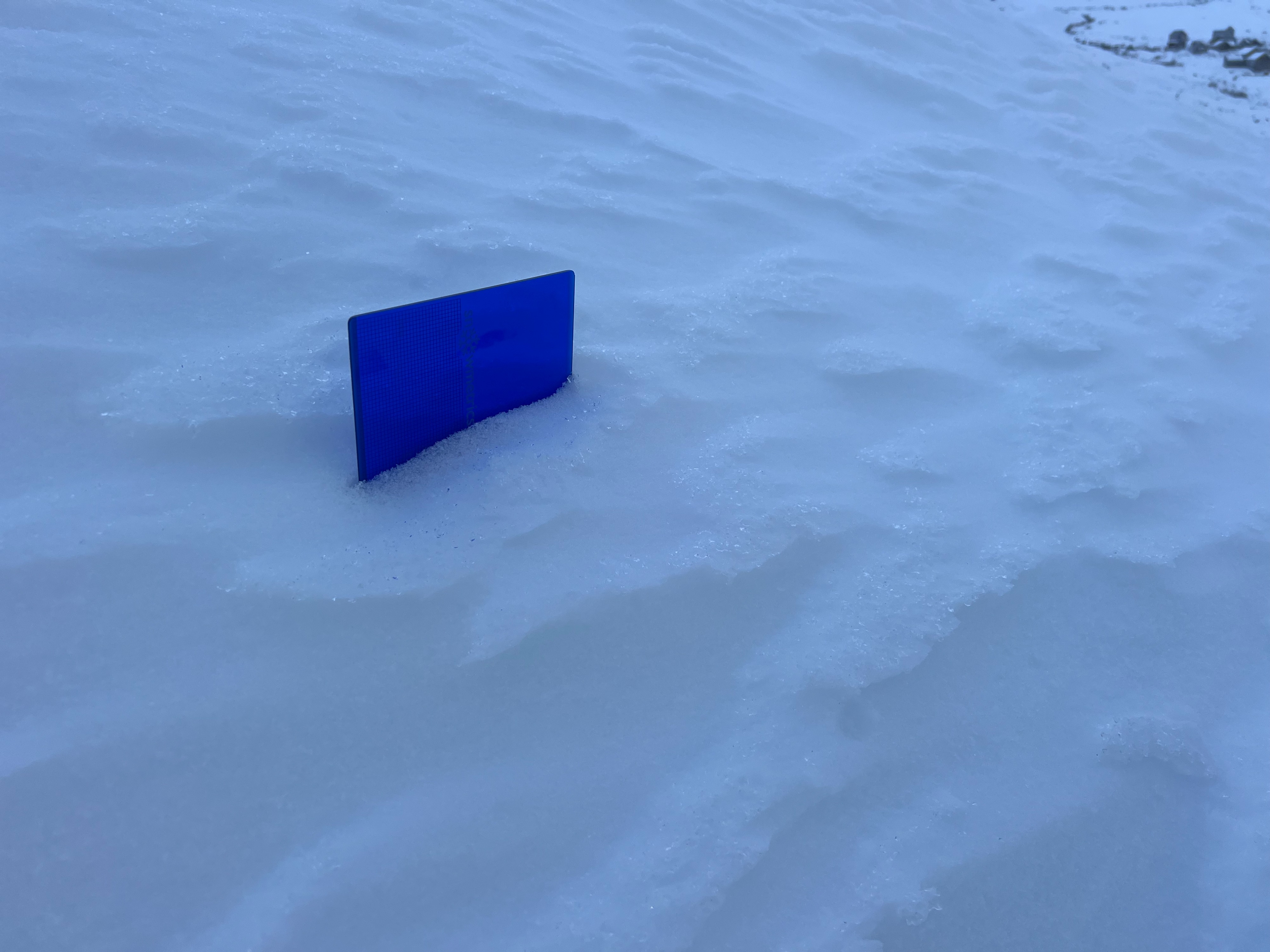
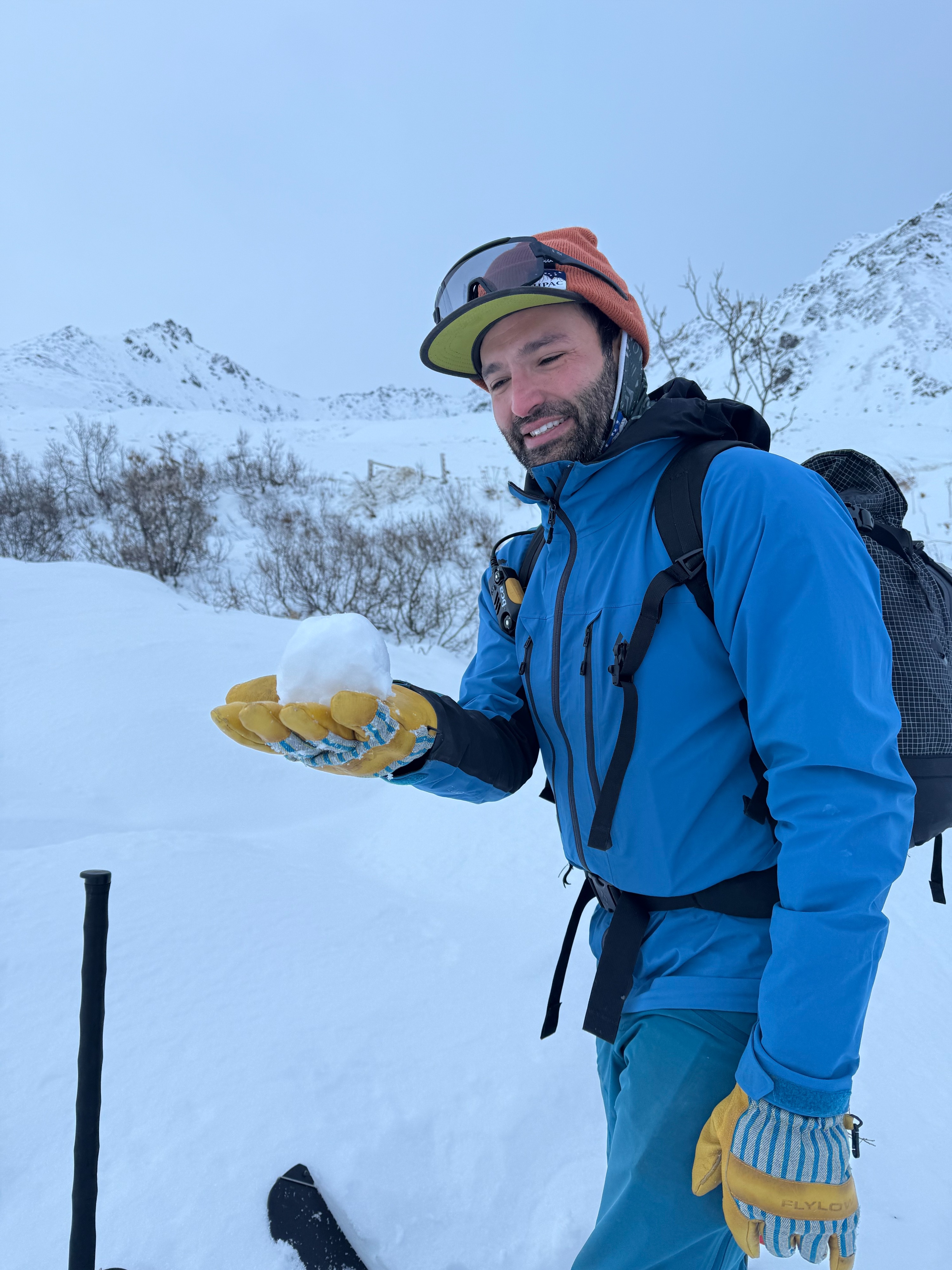
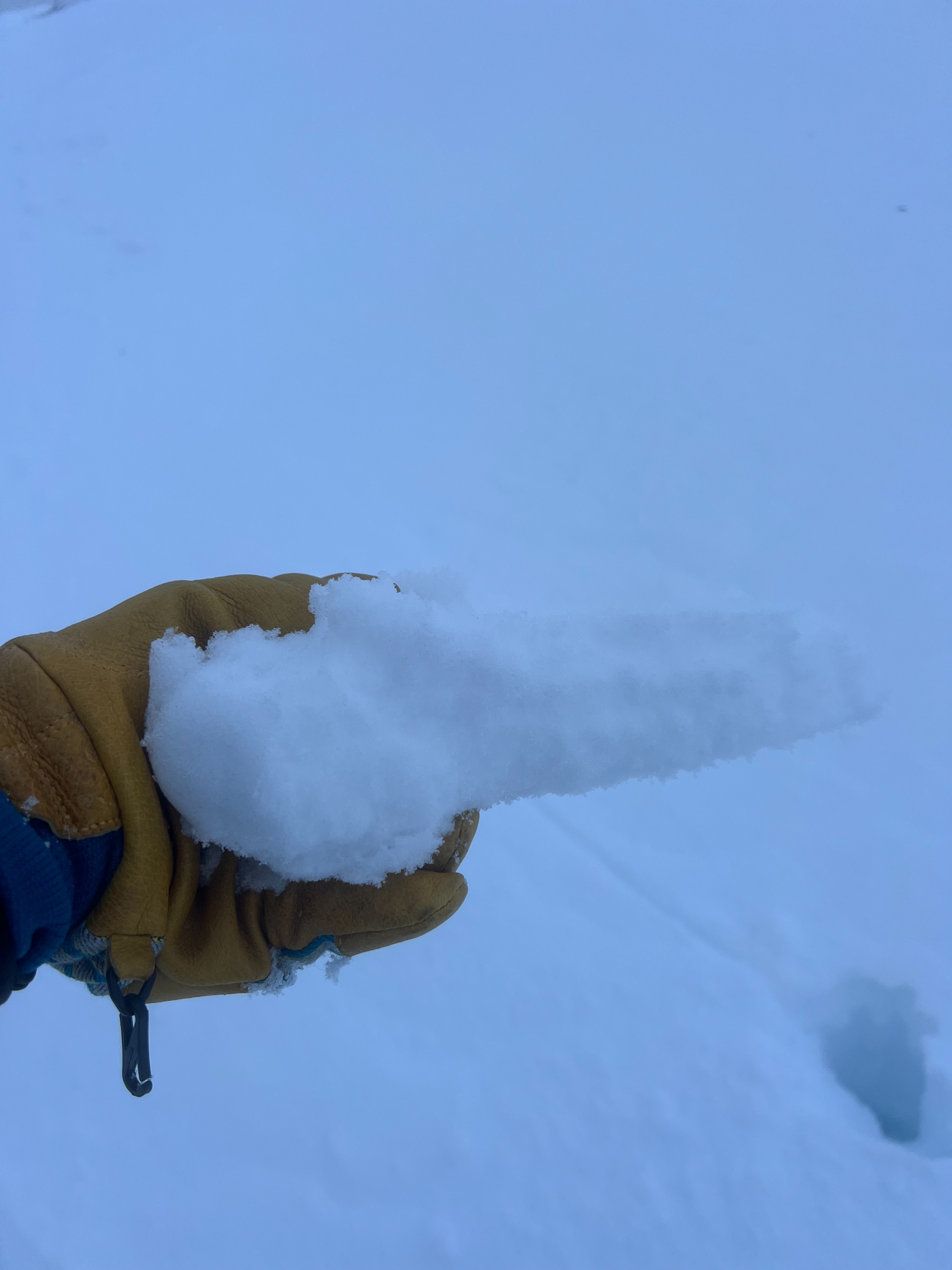
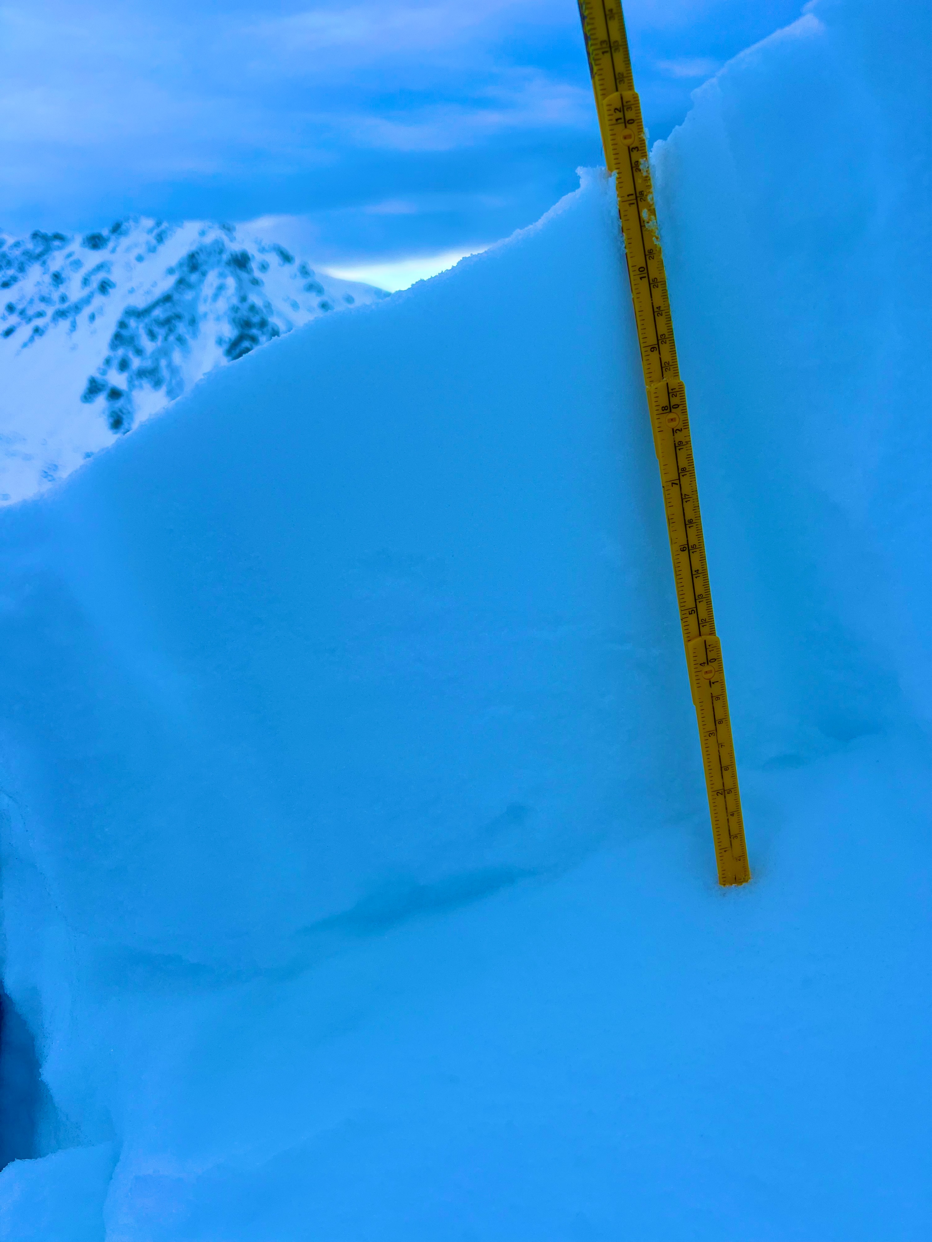
The snowpack varied from warm and moist (but not wet enough to make a snowball) to firm, supportive wind board and lots of variable surface conditions in between. At lower elevations, the snowpack is only 30cm deep. At around 4,000', we found areas of scouring to tundra and rocks on windward aspects and significant wind transport up to 100cm deep on leeward aspects. We have a bit of an informal study area we are using in Eldorado Bowl; before this wind event this same area was only 60cm deep, following our last November snow event. That means +40cm=1.5' of new wind transported snow in this zone!
At 3,600' and above, we saw shooting cracks and collapsing while touring. In the area where we saw reactivity on our test slope, the upper snowpack consisted of decomposing fragments and facets that were recently windpacked over a thin layer of facets on top of old, buried and faceting wind slabs. This sat on top of looser facets to the ice layer on the ground.
Avalanche
- Size
- D1
- Type
- SS
- Aspect
- NW
- Trigger
- AS
- Elevation
- 3095 ft
SS-ASc-D1-O Stomped in an area where we previously saw a shooting crack propagate about 15'. Were able to release the majority of the slope (about 60' wide) that ran between 15-30 cm (6"-1 foot"). z