
Quick report
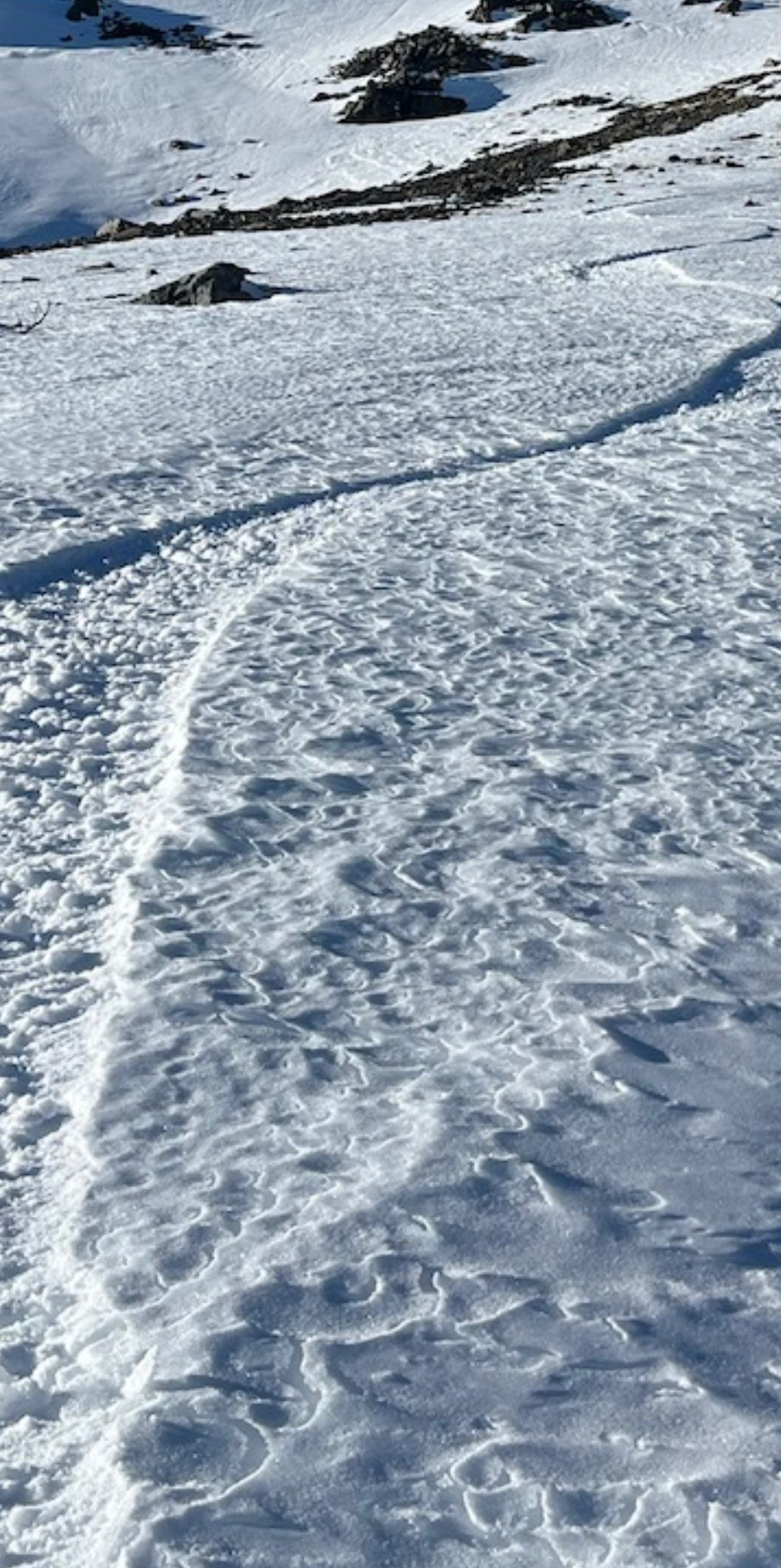
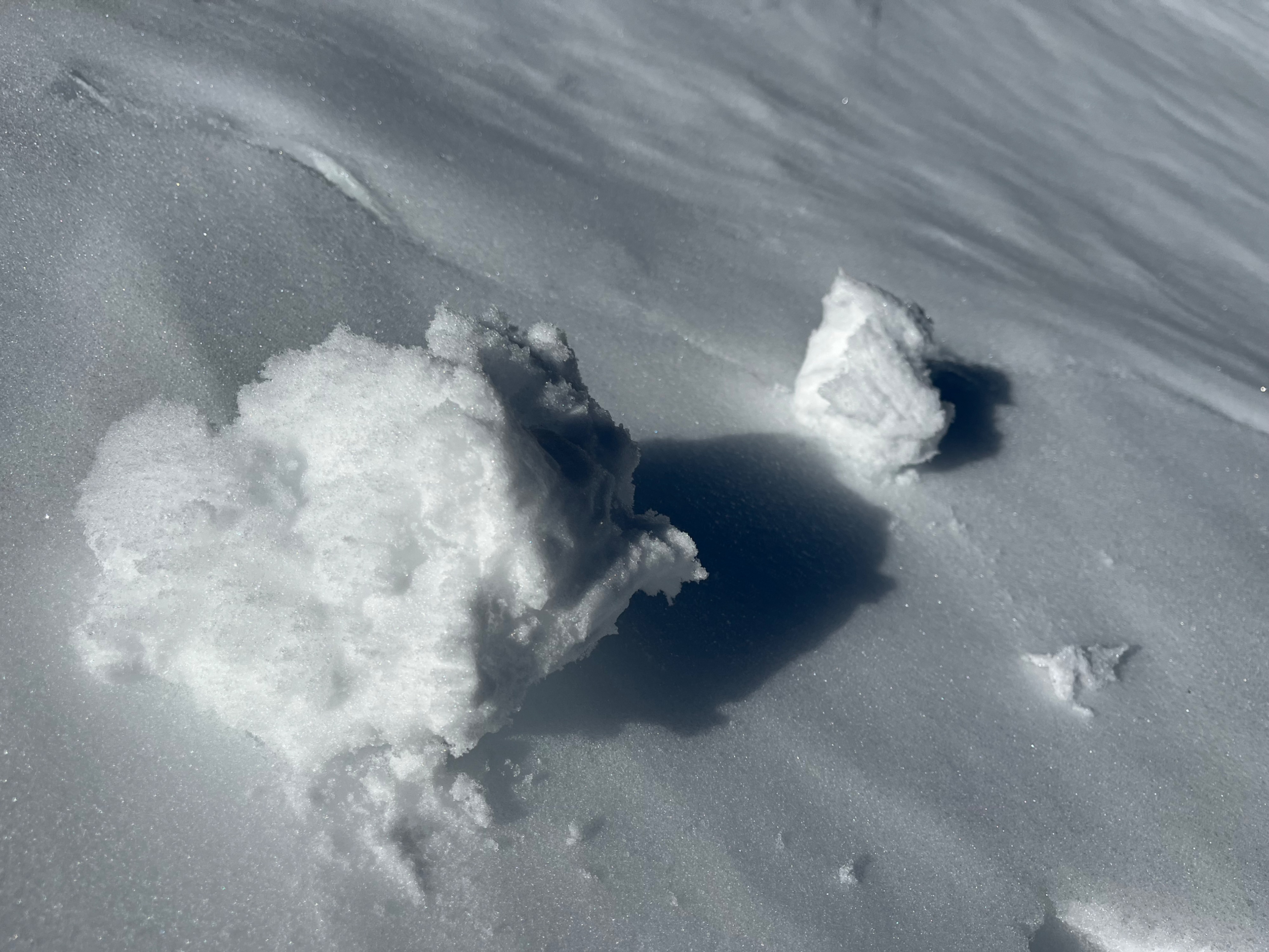
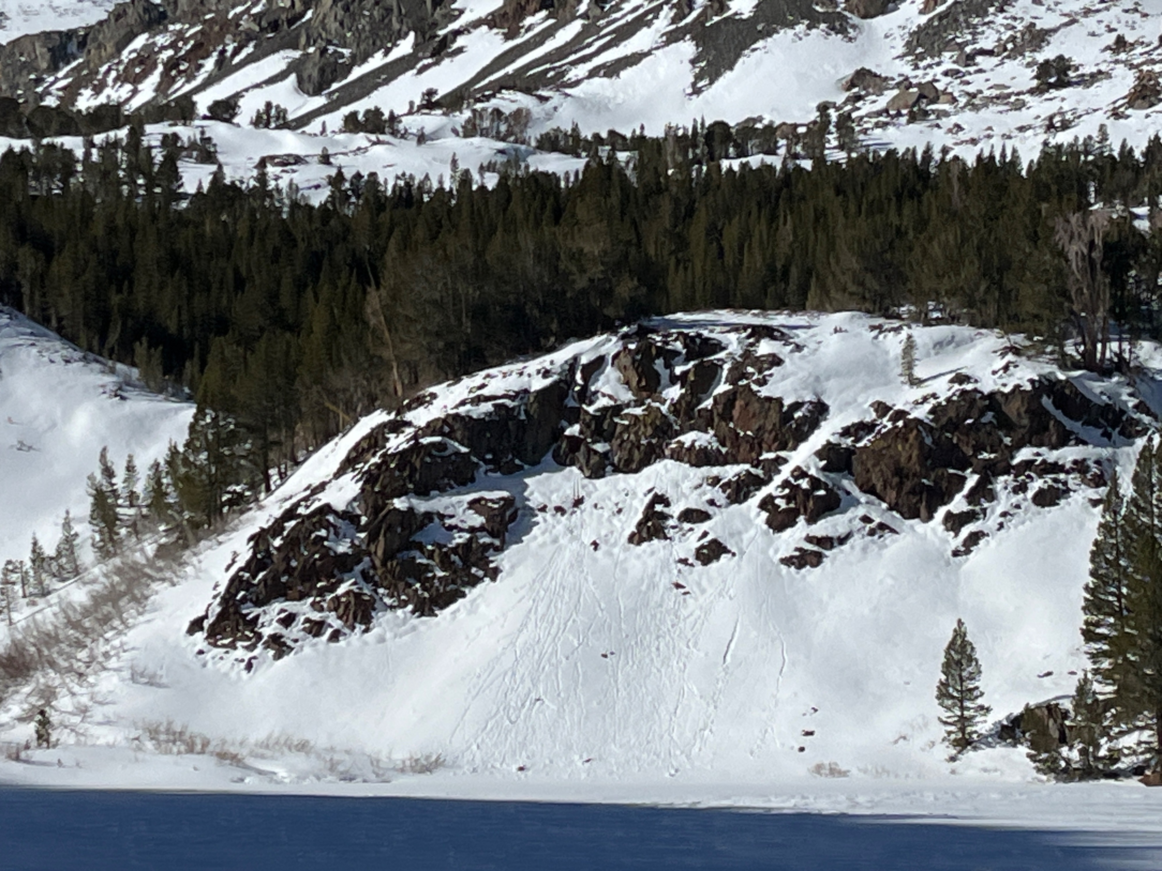
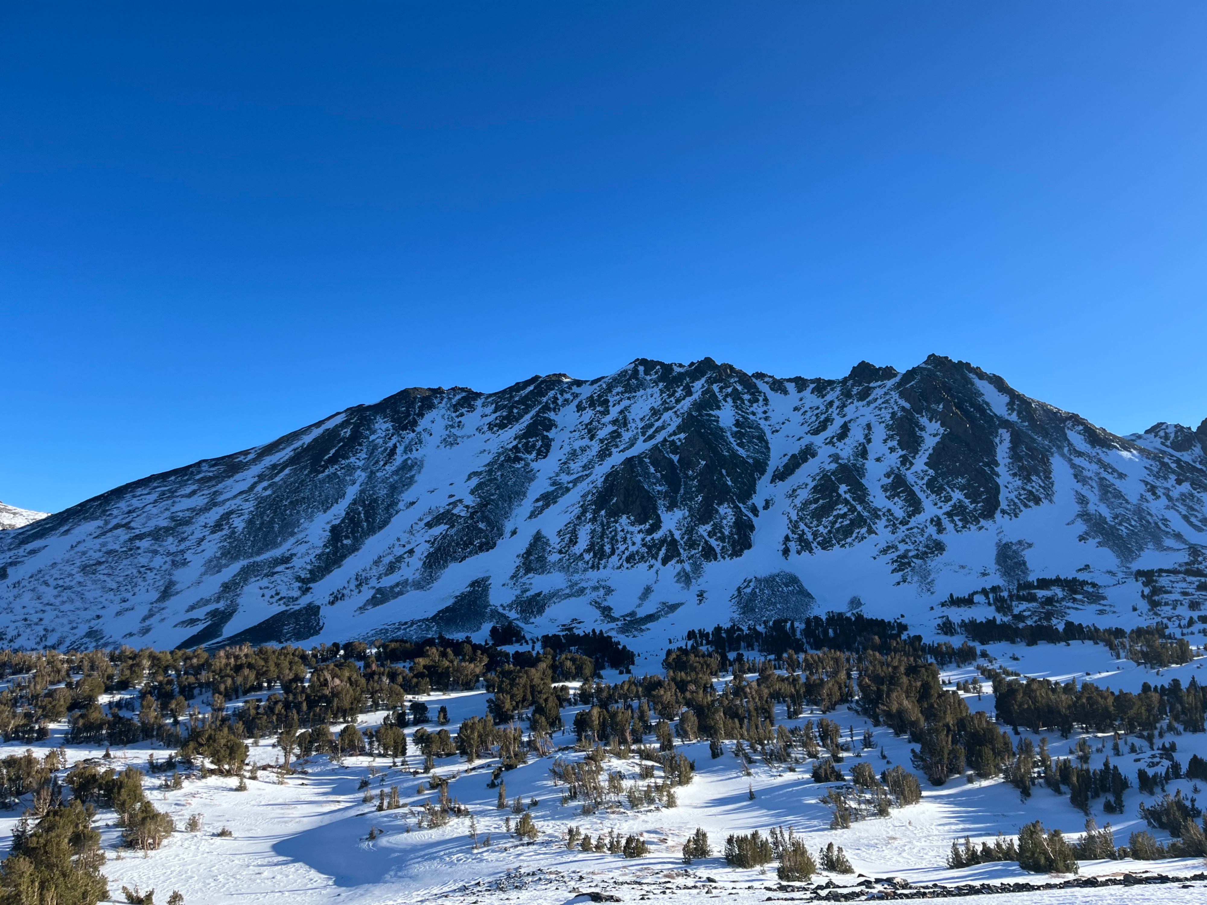
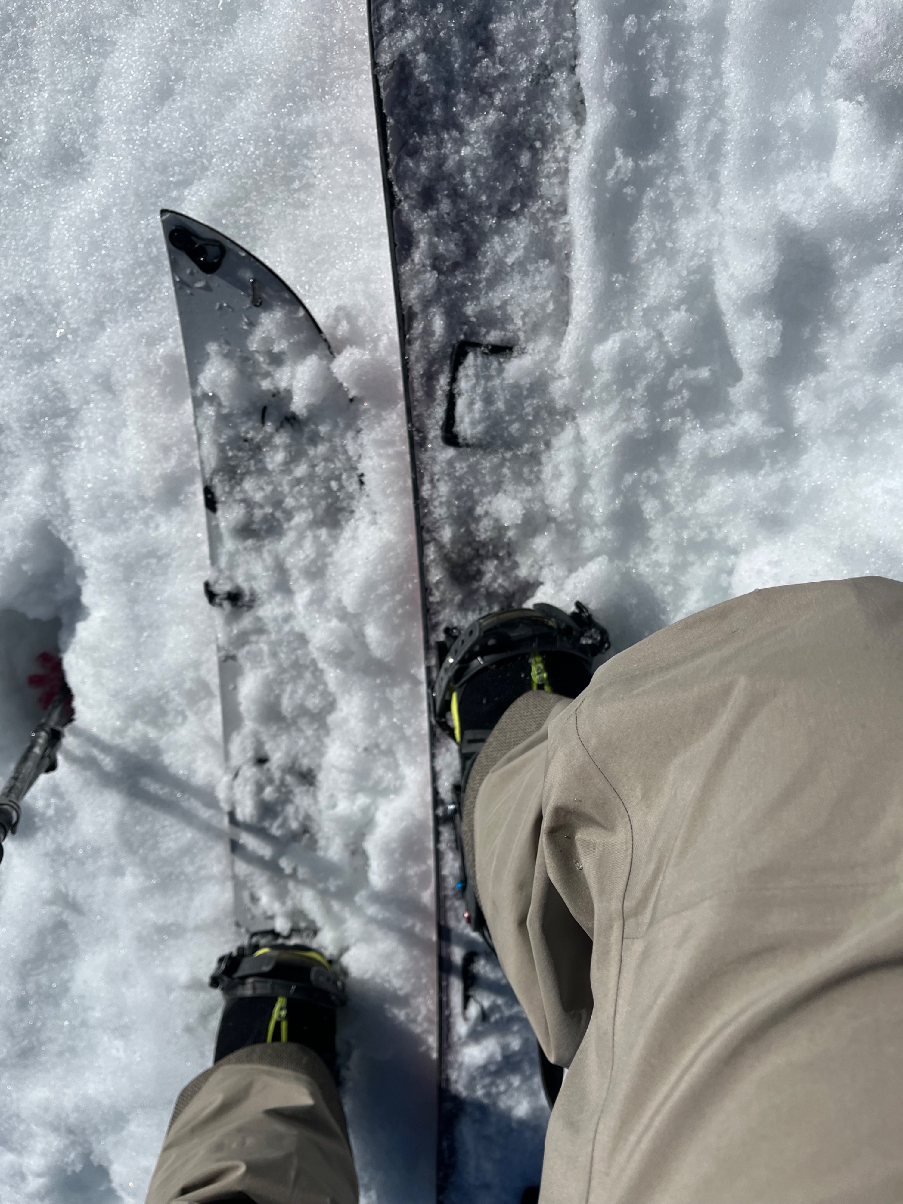
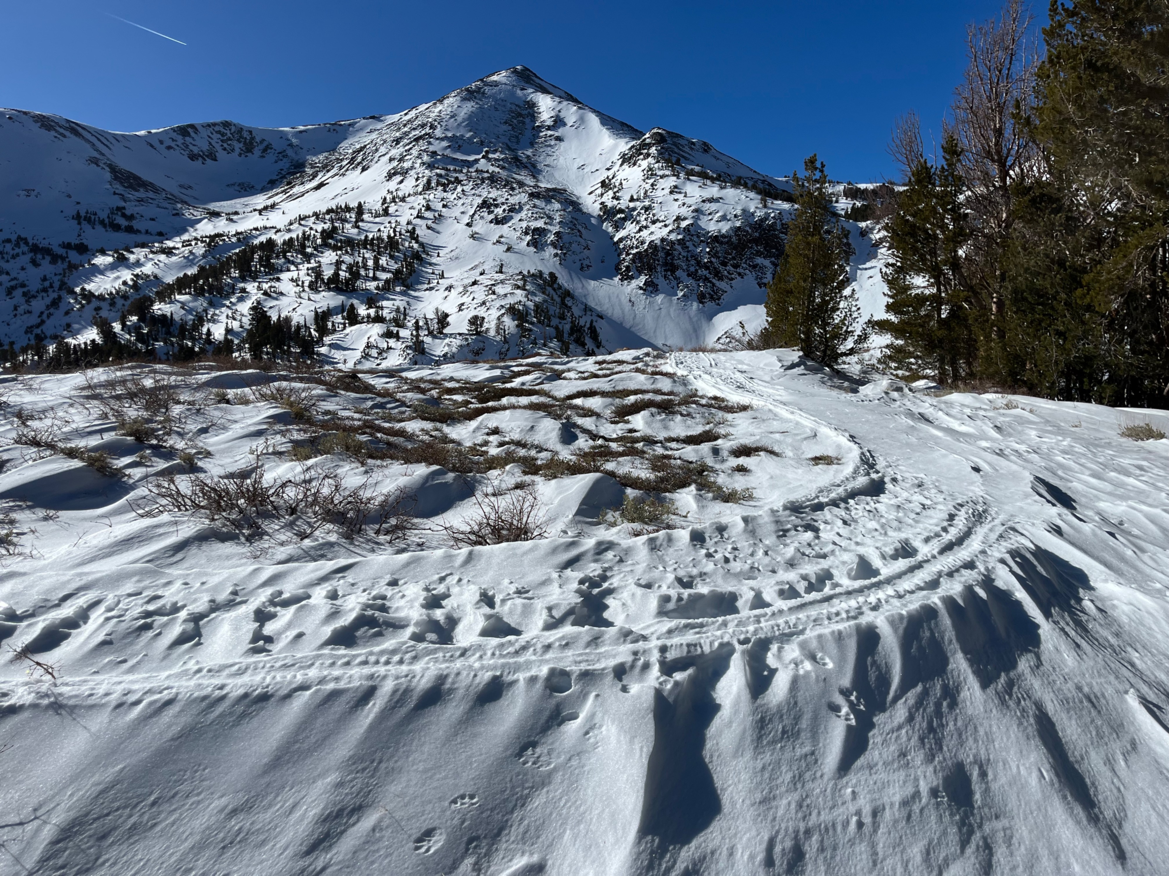
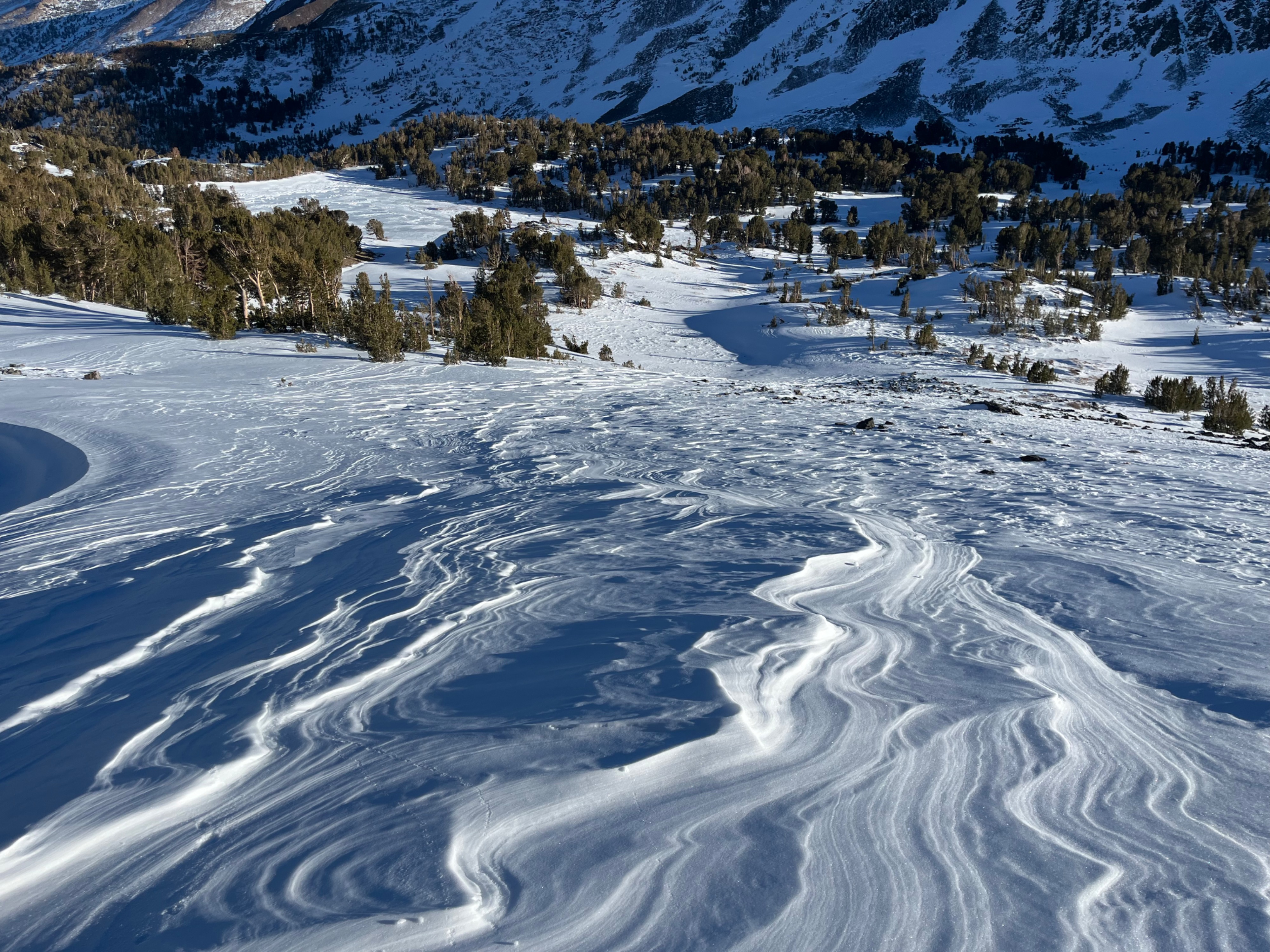
I set out in Virginia Lakes today unsuspecting of how much the recent N winds had affected this area, in comparison to other areas of the forecast zone. Throughout my travels I experienced many surface types, including soft cold snow, soft warm snow (gloppy), frozen and also thawed melt freeze crusts (timing dependent), wind buff that was penetrable, wind buff that was not penetrable, mushy transitional snow, and corn like snow. Wind drifts filled in many creeks and meadows, but water was flowing beneath.
Weather
- Air Temp
- 45
- Cloud Cover
- clear
- Wind Loading
- previous
- Snow Avail For Transport
- none
It was pleasant in the shade today, and very warm in the sun. Felt like a warm spring tour. No wind. Clear Skies.
Snowpack
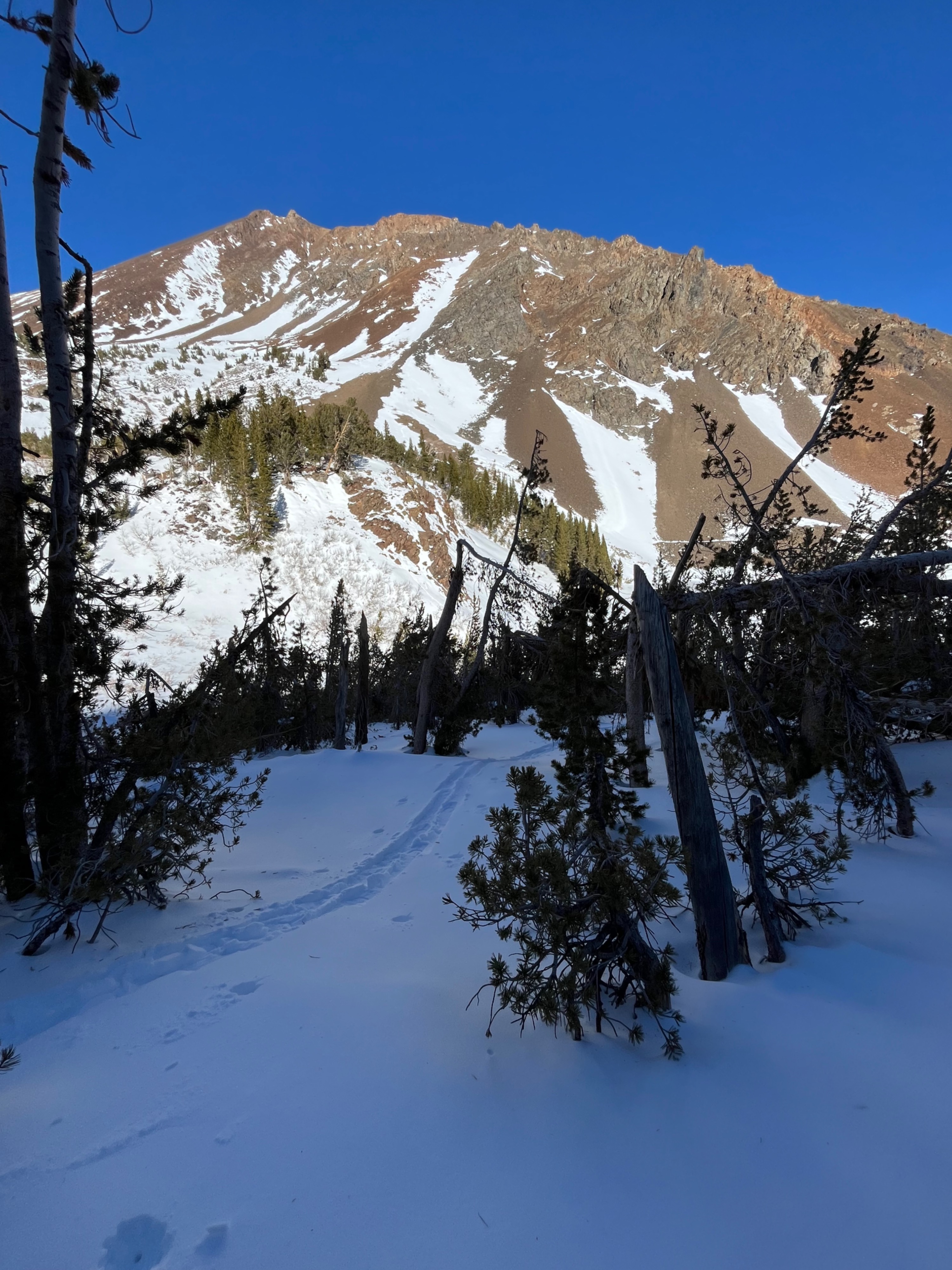
Variable snowpack dependent on aspect, elevation, and micro climates/micro terrain features. I traveled on all aspects from 9700' to 11300', and in sheltered and exposed terrain BTL, NTL, and ATL. HS 0 - 160 cm observed (wind drift dependent) Cold, soft snow exists at 9700' and above (elevations traveled today) in sheltered terrain, generally E - N facing Upper Snowpack Temp Gradient - 10000', BTL terrain, N - HS 80 cm, 12:30 (peak temps for day in area) T air: 5.5 C (42F) T surface: -1 C (30F) T 20: -5 C (23 F) P - K hard wind buffed surfaces exist in exposed terrain and on northerly ATL aspects. Many shaded aspects held small facets (.3mm) above windbuff or melt-freeze crusts. Solar aspects held melt-freeze crusts of varying thickness. In areas where snowpack is thinner (~ 40 cm), the snow was very "corn like" to the ground. In areas where snowpack was thicker, the snow beneath the crust was moist/transitional over an ice layer just above the ground (75 cm).