
Quick report
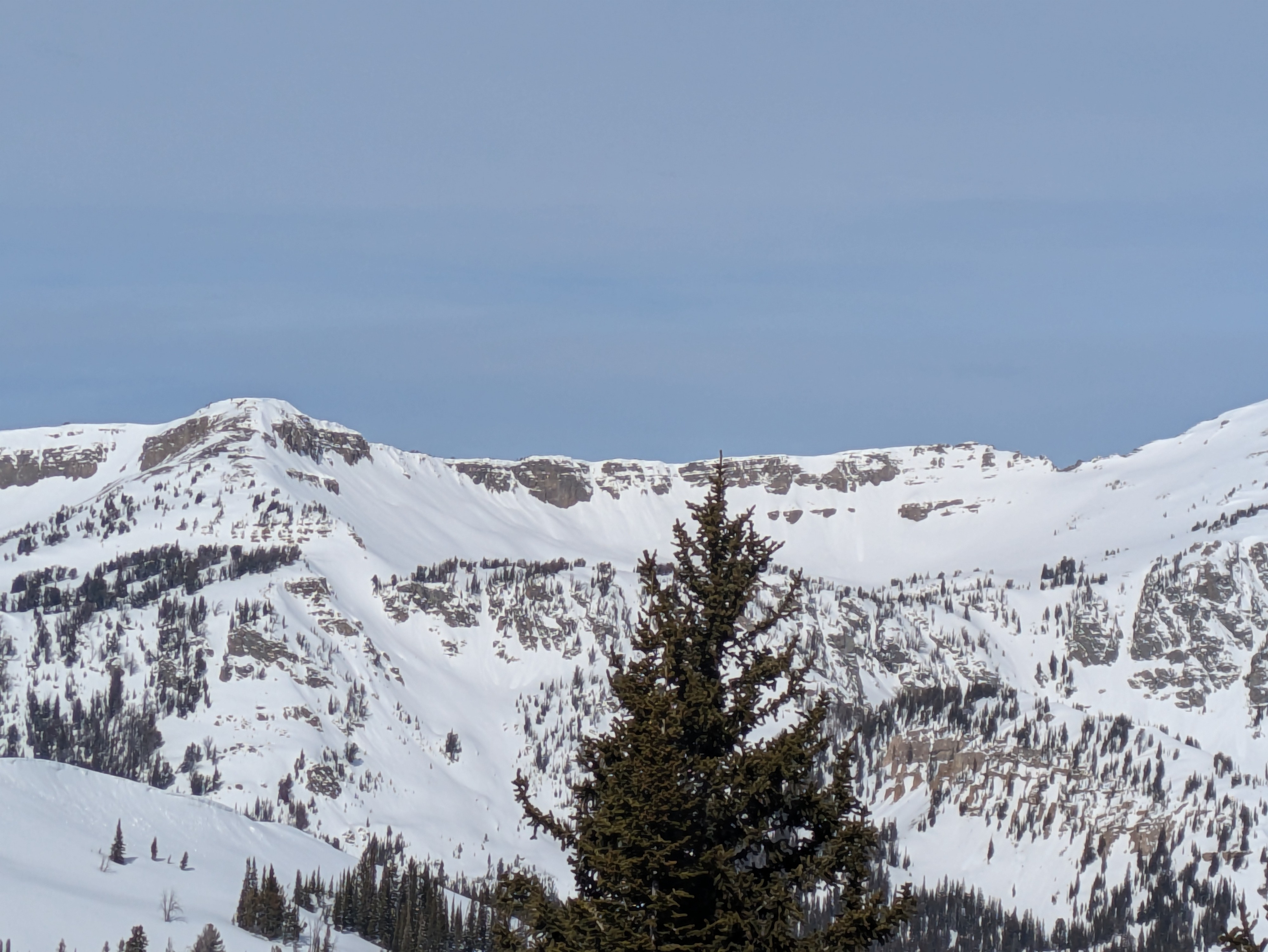
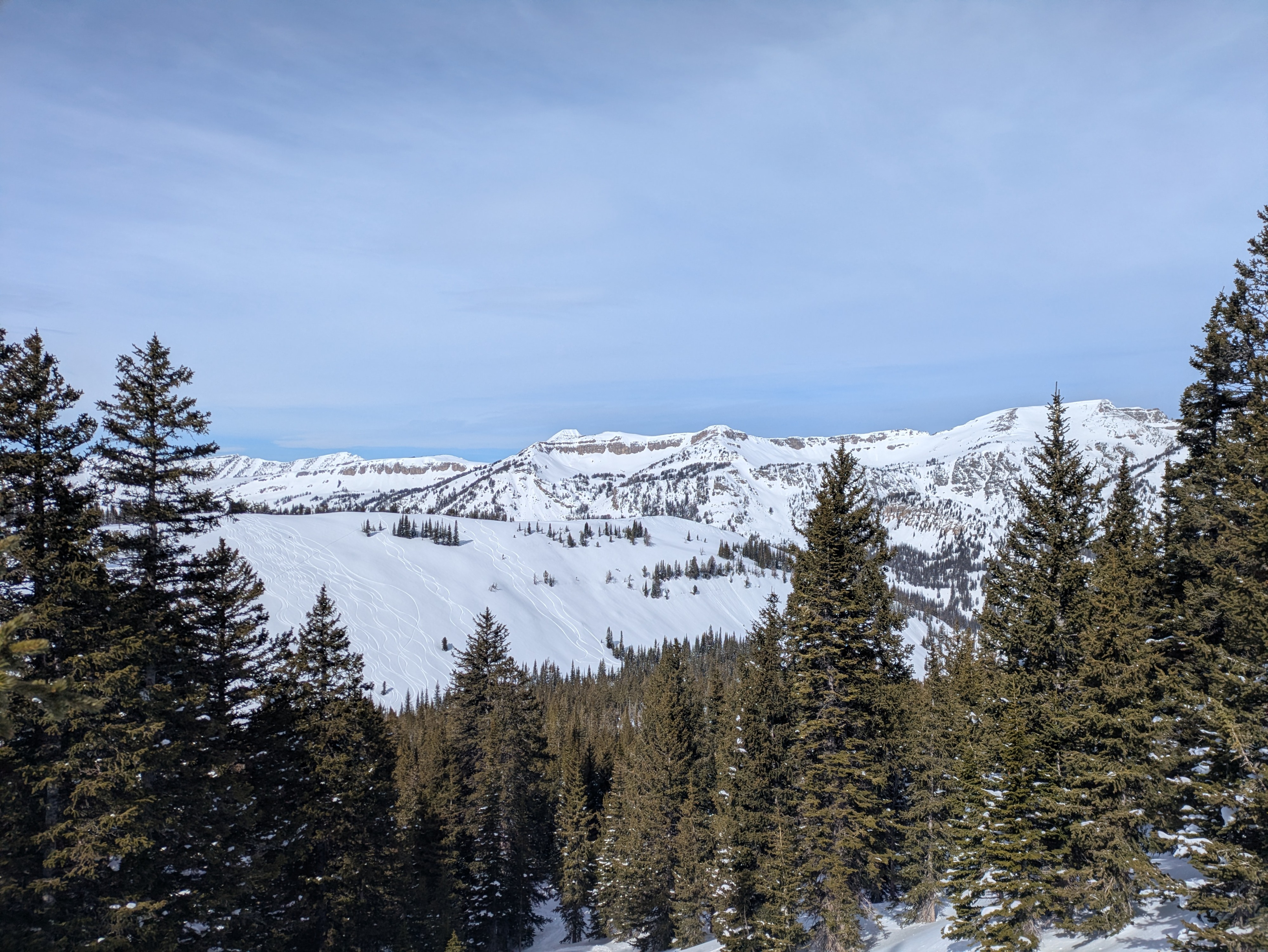
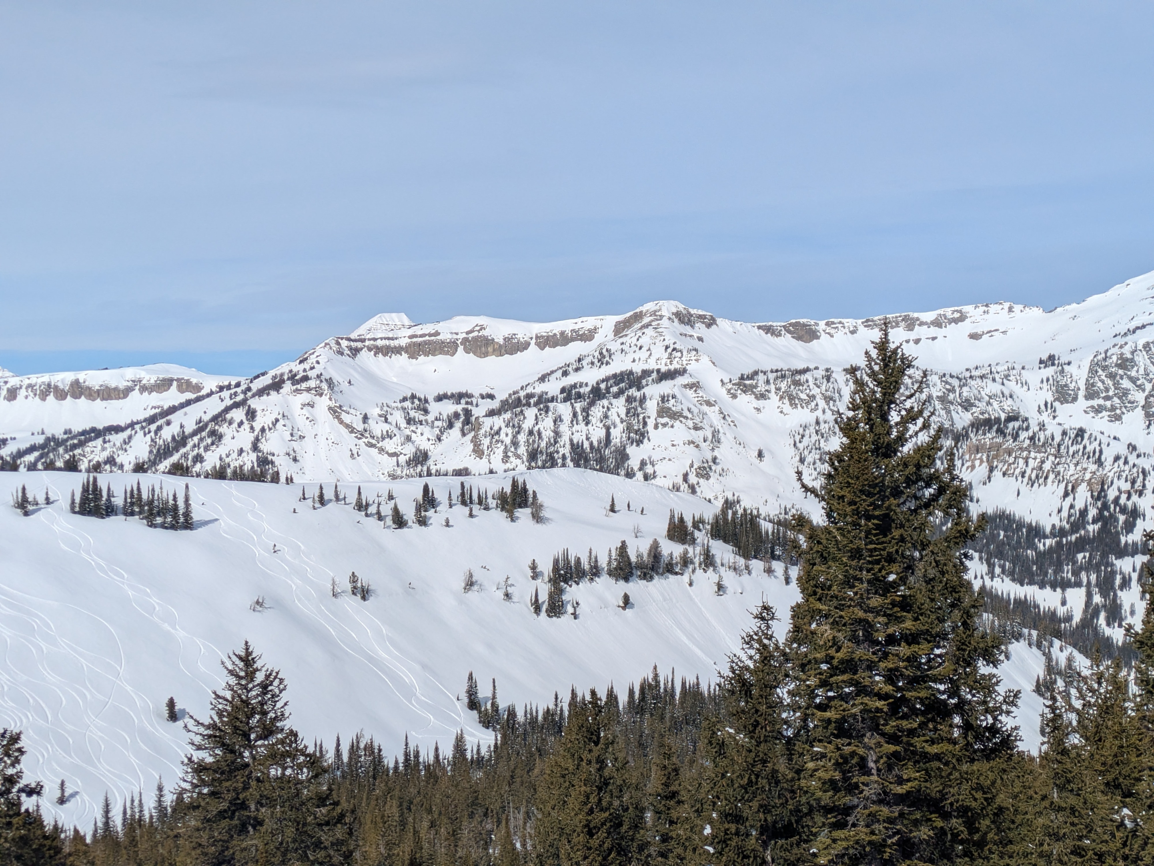
Minimal shedding in south facing terrain yesterday at 9-10k even among rocks.
Tomorrow's storm will be heavily wind affected but there may by storm slabs in sheltered terrain later in the day. My primary concern remains the existing buried surface hoar which has continued to be reactive from about 7,500' to about 9,000' on the west side, south of the Pass, the Snakes and more recently the Salt River Range. The other question is if this storm will tip the scales on the January drought layer in a more widespread way. The avalanche at Phillips involving thick wind slabs below cliffs may be a precursor to more activity as new snow and wind slabs add weight on that drought layer.
I expect we will head towards high danger and middle and upper elevations with wind slabs growing large late in the day. Weak layers will contibute to larger sized human triggered avalanches with an increased potential for natural avalanches
Weather
- Air Temp
- near freezing
- Wind Loading
- previous
- Snow Avail For Transport
- small smounts
Snowpack
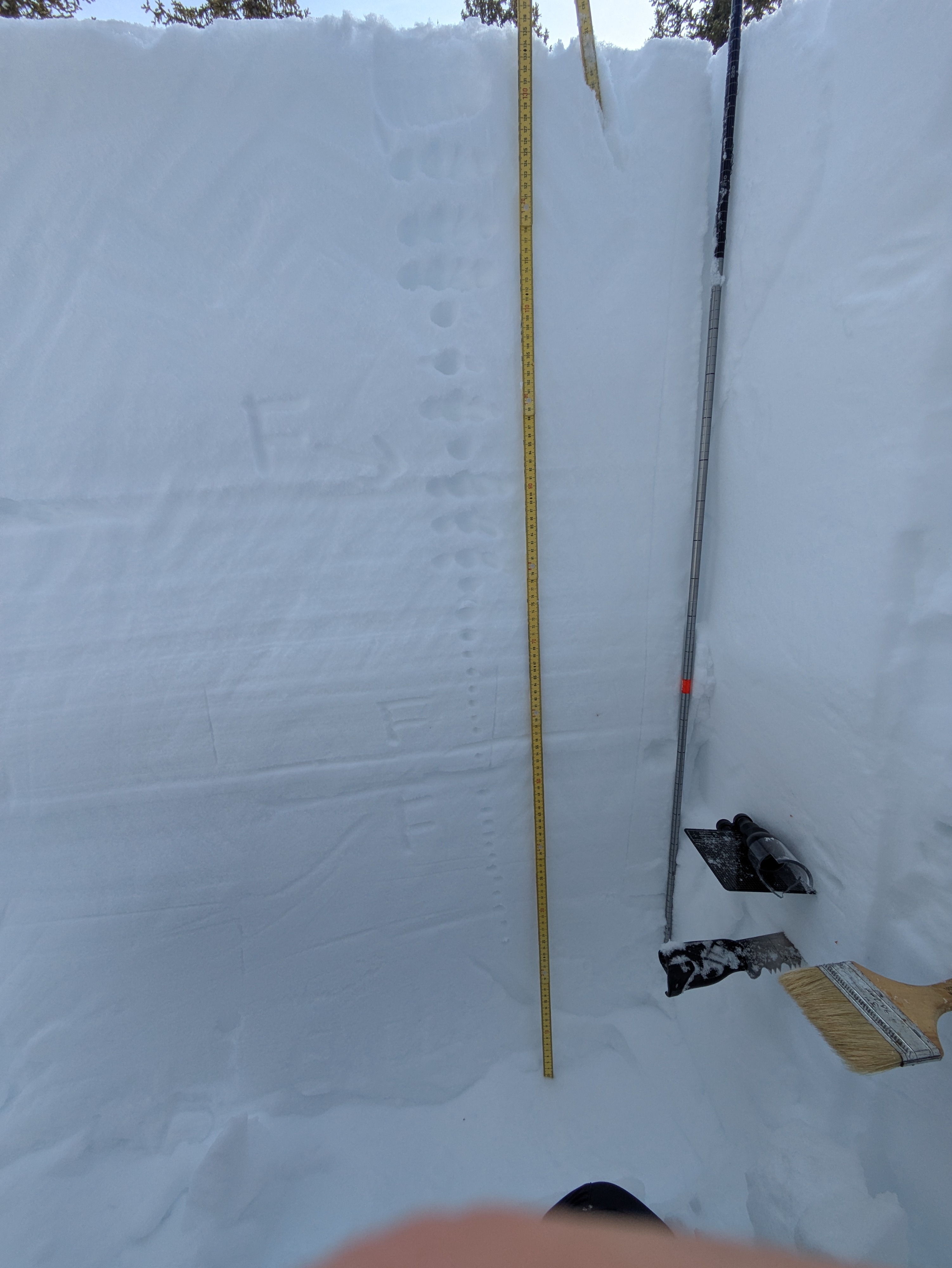
Dug a pit at 9400', north-northwest facing slope. Confirmed what we know already, it's deep ( over probe depth) and stable. No signs of BSH layer. Some hardness changes but no instability noted. PST 85/100 down 80cm.