
Quick report
- Cracking
- isolated
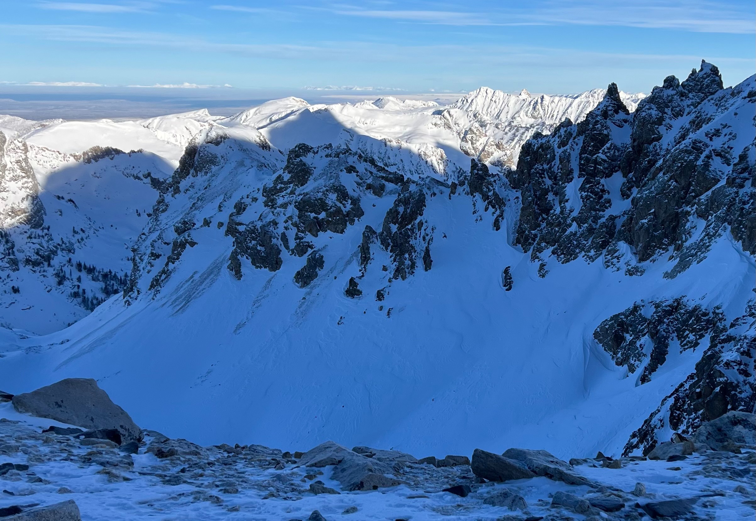
Clear skies in the alpine with overall warm temperatures above the cold valley inversion. Lots of different snow texture and qaulity out there. NW winds have worked over recent snow in open and exposed terrain. Light sastrugi observed. Any wind drifted slabs we found were shallow and only a few inches thick. Isolated larger wind slabs could be lingering, but warm day and cold night temperatures will decrease reactivity. The main concern was warm temps and solar input. Southerly aspects took a beating and became reactive today as the skies fully cleared. Today was the first day the mountains have seen full sun since the recent storms (1/10-1/11) produced 10-14" on the east side and 20" on the west side of the Tetons. All this recent snow was ripened to shed. Natural wet loose avalanches were observed around rocks by 11:00 even in higher elevation terrain. Some of these naturals were large enough to knock you off your feet. Wet snow activity likely increased with continued solar input. Melt freeze crusts likely developed on southerly aspects (uncertain on how high in elevation). NW wind decreased throughout the day. No recent avalanches or collapsing.
Tomorrow: Another warm day with clear skies and strong solar radiation is expected. Plan your travels accordingly to avoid potential wet snow problems. Get up and get out of the mountains early even though it is still January. Move to shaded terrain if you experience wet snow problems.
Shallow wind slabs in isolated terrain only a few inches thick.