
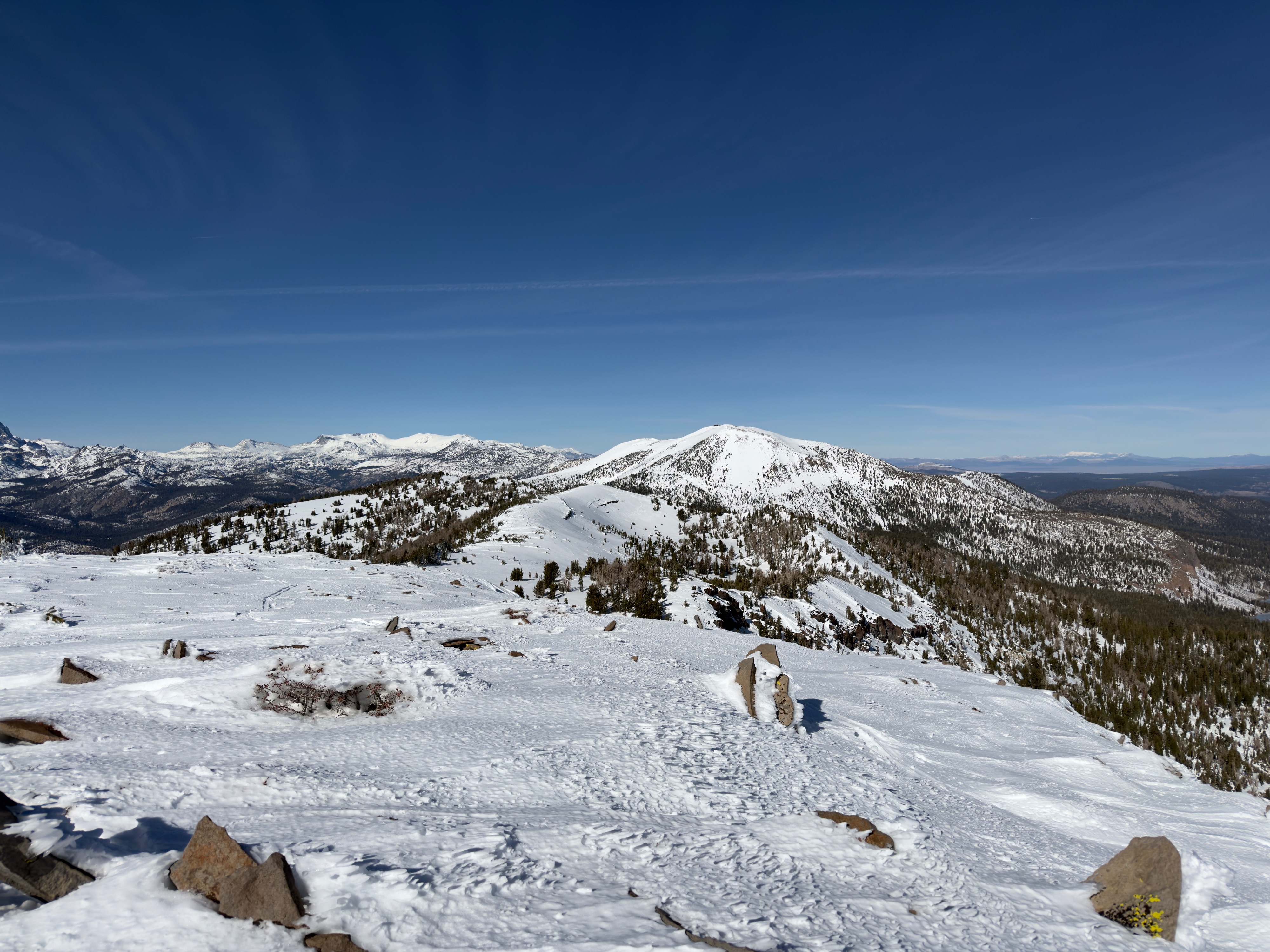
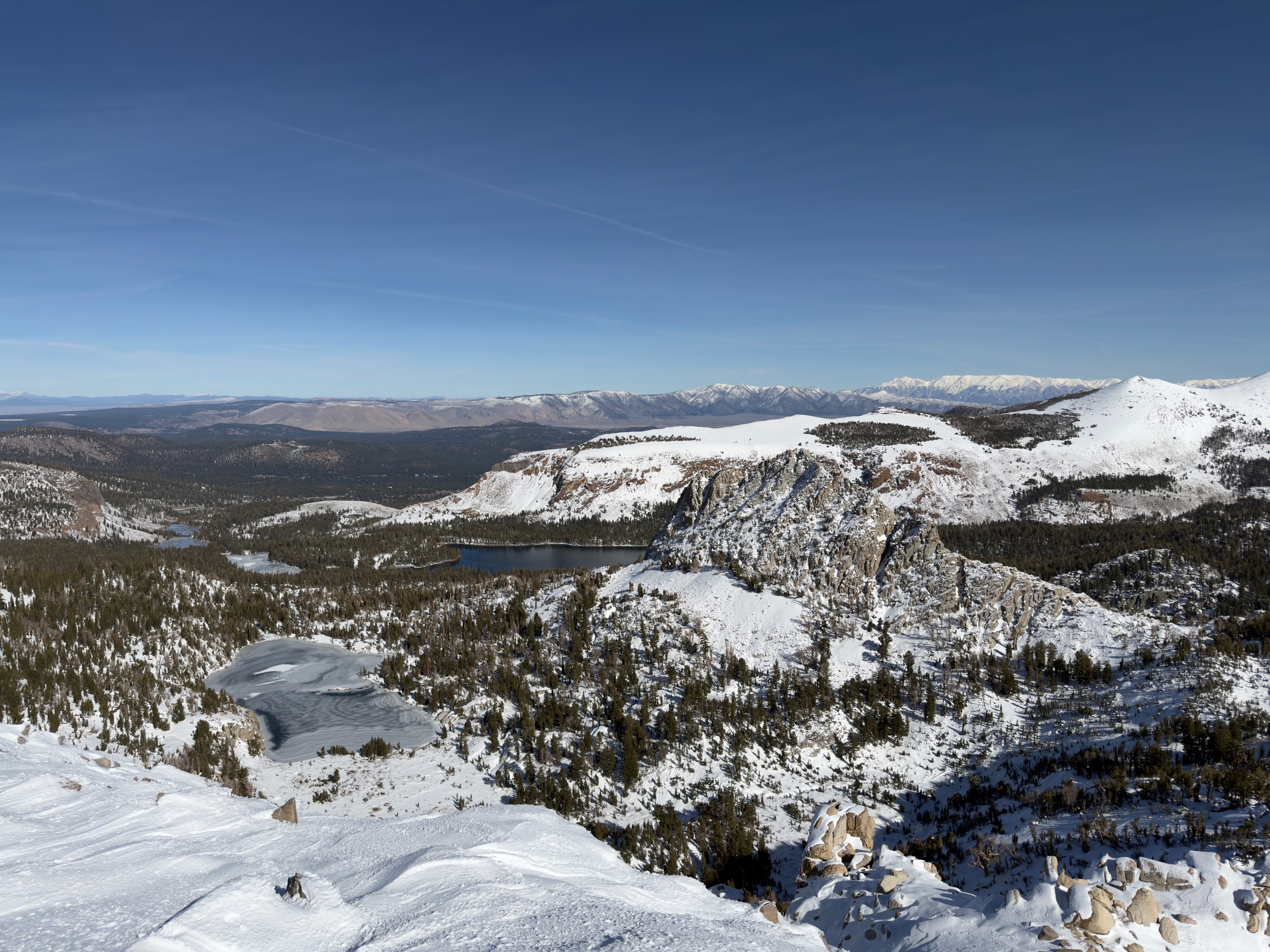
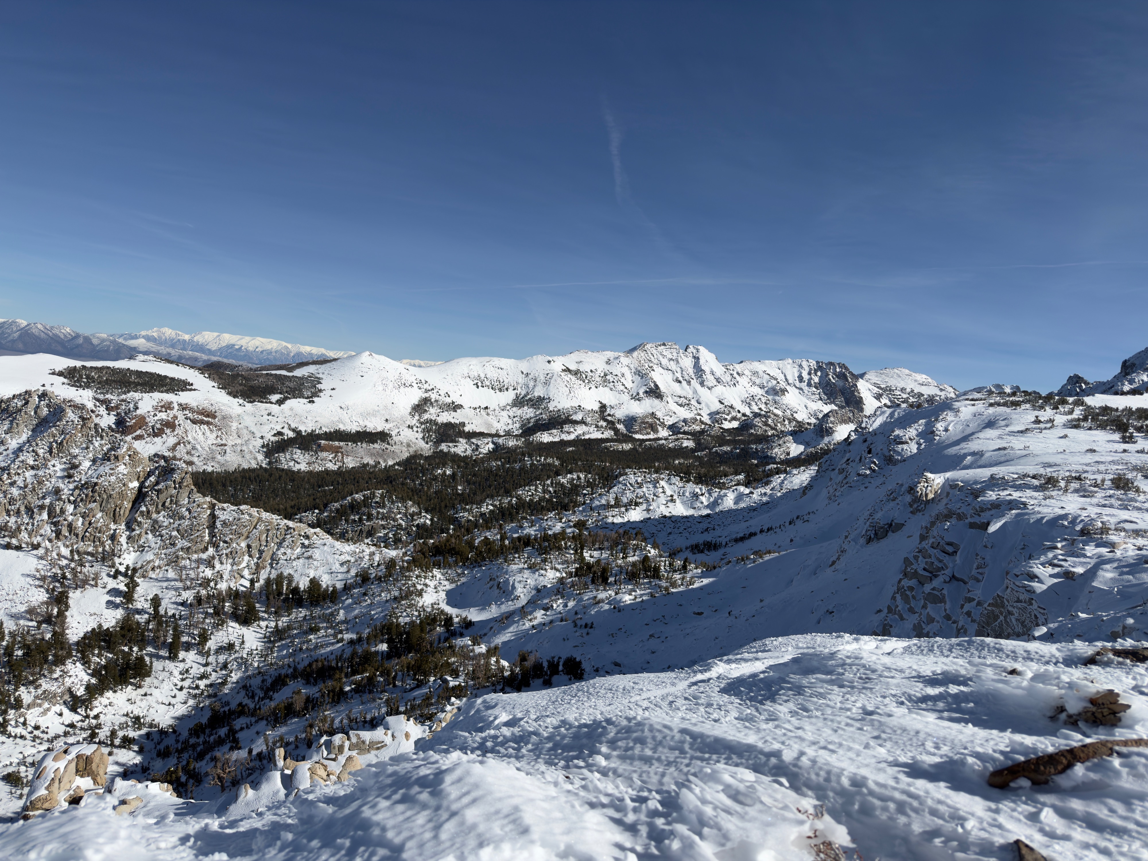
Quick report
Our daily temperature swing is changing our snowpack significantly.
-East-South-West aspects up to 10,600' are building a new melt freeze crust at the surface. The southern half of the compass is settling rapidly and is moist during the heat of the day.
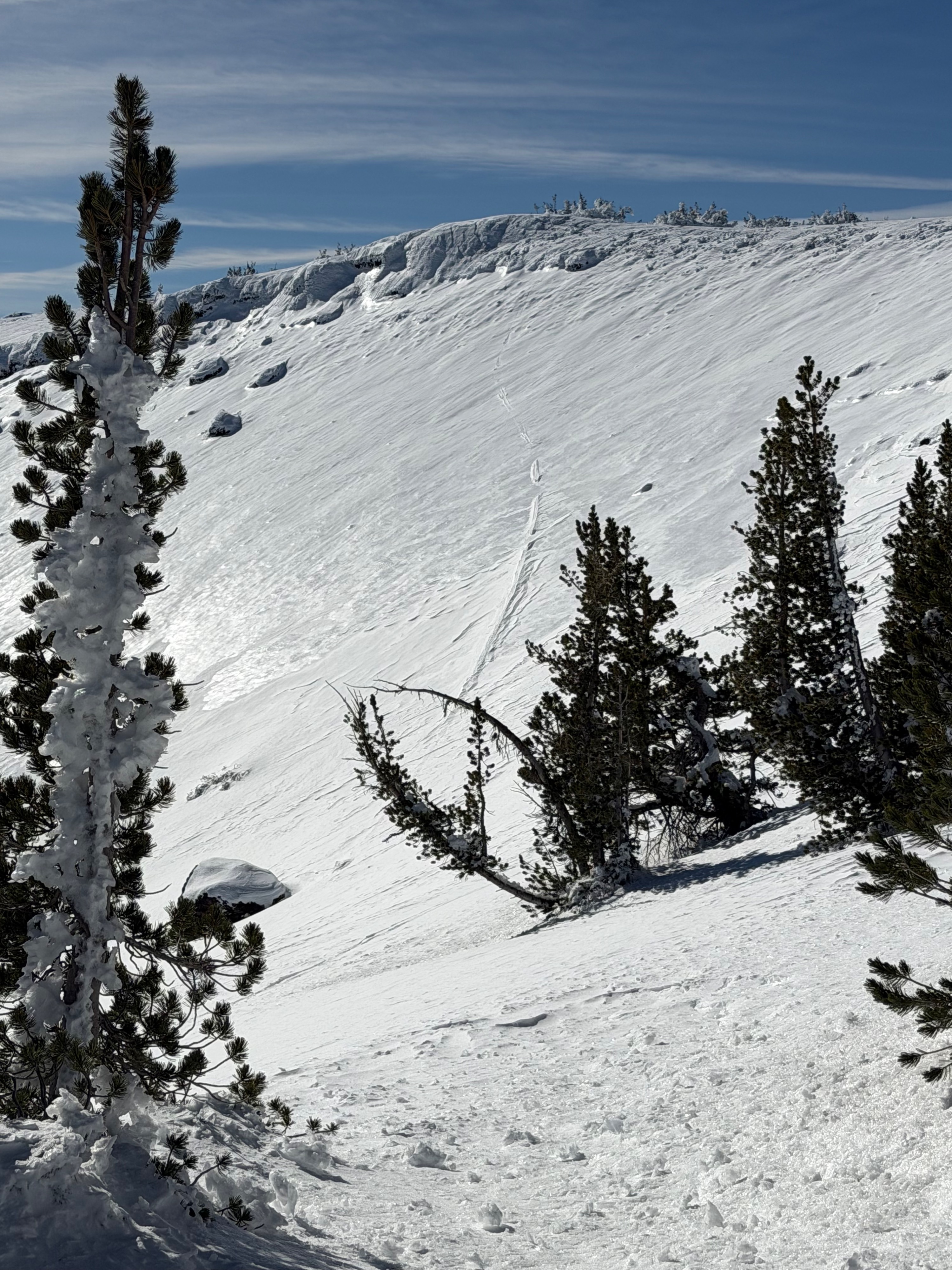
-North-facing, upper elevation slopes hold a stiff upper snowpack due to recent northerly winds. Areas protected by the wind, at all elevations, are losing cohesion and faceting out.
Weather
- Air Temp
- 45
- Cloud Cover
- few
- Wind Loading
- none
- Recent Snowfall
- 0
- Snow Avail For Transport
- small smounts
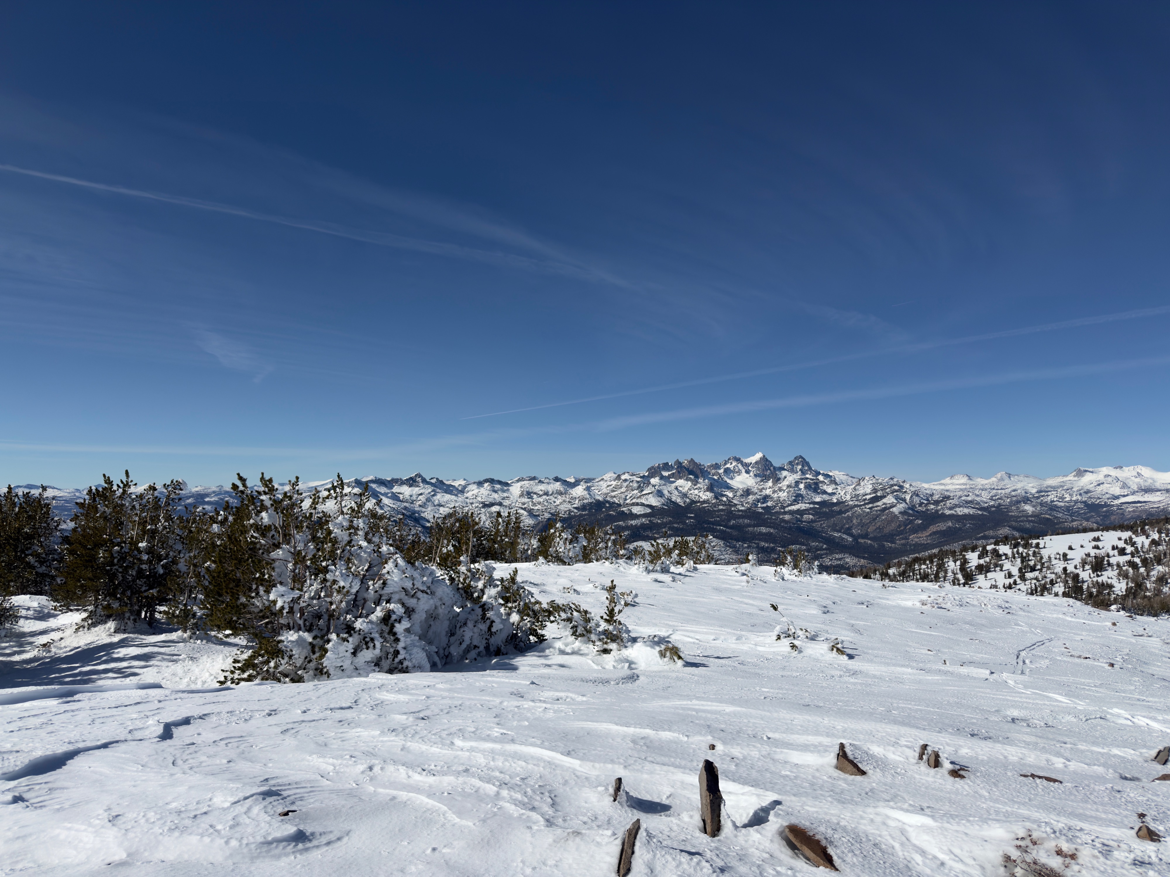
Below freezing temps around 8 am. The air temperature became very warm throughout the day. Calm winds, light gusts out of the south. Sky had few clouds. No blowing snow observed.
Snowpack
The height of snow is the most significant variable in our current snowpack.
-Easterly aspects below 9,700' hold 0-35cm of snow and are moist to the ground.
-North-facing aspects are not holding much snow at ridgetop. As I travelled downhill, the absence of snow transitioned to a firm wind-packed surface. In north-facing areas protected by the wind, cohesionless old snow is faceting out. The height of snow is generally 30-70cm.
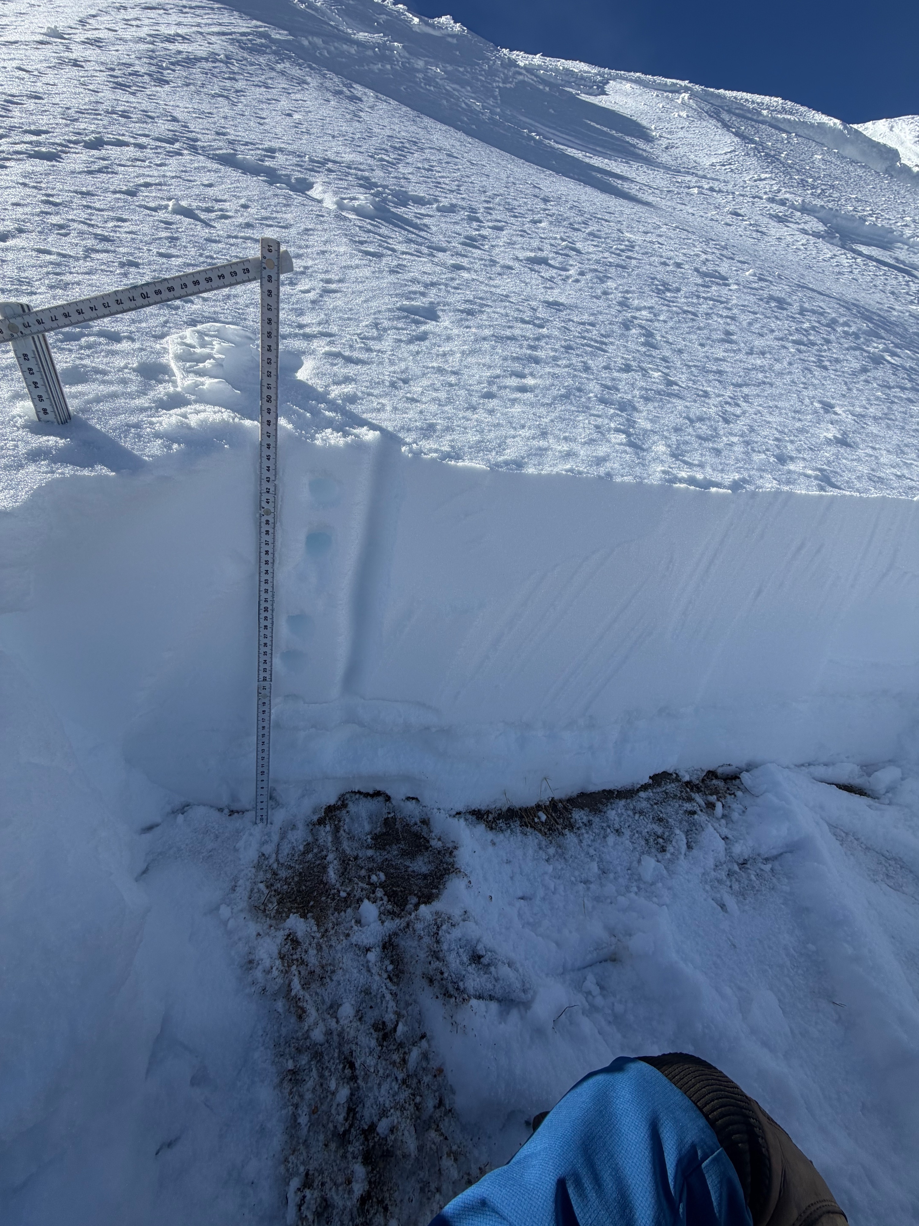
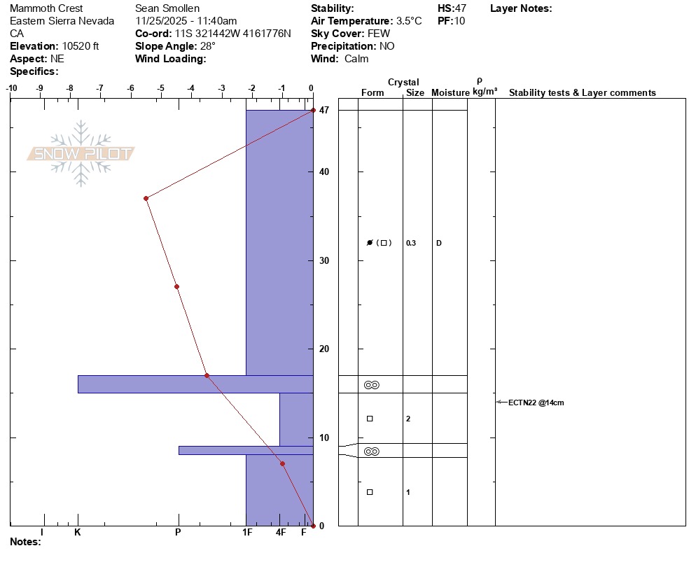
-In a snowpit at 10,500' on a northeast aspect, I found 35cm of dry snow on top of a crust/ facet sandwich. While the structure looked dismal, the brittle snowpack did not propagate in an extended column test. ECTN22 down 33cm on 11/13/25 interface.