
Quick report
• No obvious signs of instability. • Surface snow conditions throughout the day consisted of loose unconsolidated powder snow at lower elevations and early stages of soft slab development at elevations above 6000’ on leeward aspects. • Uphill and downhill travel was arduous due to substantial new snowfall accumulation. • Total new snowfall from the late 3/11 to 3/14 storm was measured and recorded at various elevations: o Canyon floor manual weather stations: 28” with about 2.00” of water. o Burnout starting zone (SZ) (5100’): 22” o Shed 4 D SZ (5900’): 31” o Shed 7 Weather Station (6350’): 30”. Total snow depth @ station now 102”. o Shed 7 E SZ (6390’): 40” (wind-loaded) o Shed 7 W SZ (6635’): 33” • Stability Tests Locations and Results: o Shed 7 East, 6400’ on an easterly aspect: Total snow depth = 106" ECTX & CT27, Q3 on storm snow interface 40” down o Shed 7 West, 6600’ on a SE aspect: Total snow depth = 108” ECTX, CT18 Q2 on storm snow interface 33” down, CT27 Q3 on the most recent melt-freeze crust 40” down.
Weather
- Cloud Cover
- overcast
- Wind Loading
- previous
- Recent Snowfall
- 40-85
- Snow Avail For Transport
- large amounts
• Overcast sky with intermittent breaks. • Light to moderate easterly winds. • Light snowfall with minimal accumulation • Air temperatures: o 0900 @ Canyon Floor: 150 F o 1200 @ Upper Elevations: 100 F
Avalanche
- Size
- D2 R1
- Type
- SS
- Count
- 3
- Aspect
- SE
- Trigger
- N
- Elevation
- 7000 ft
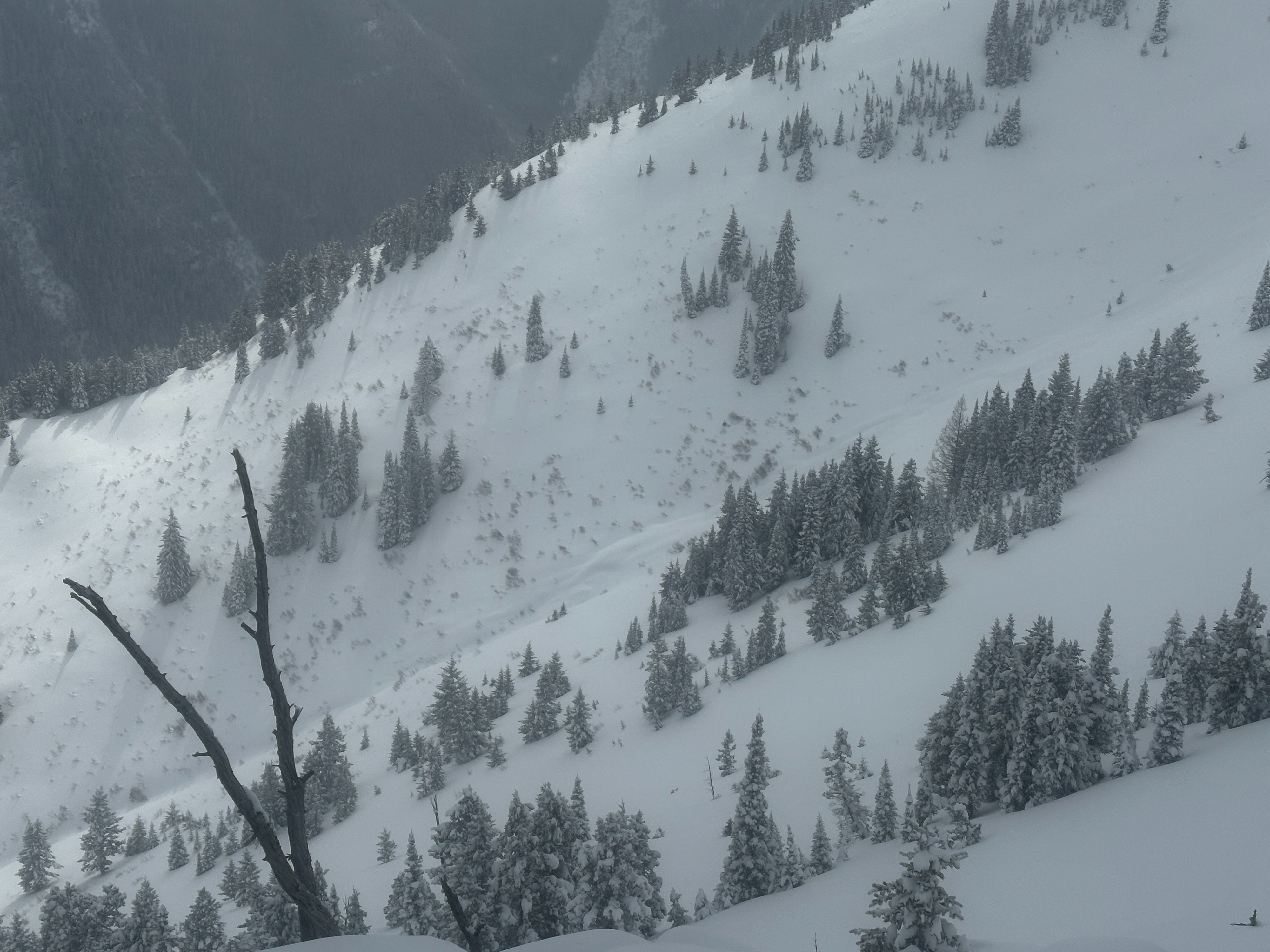
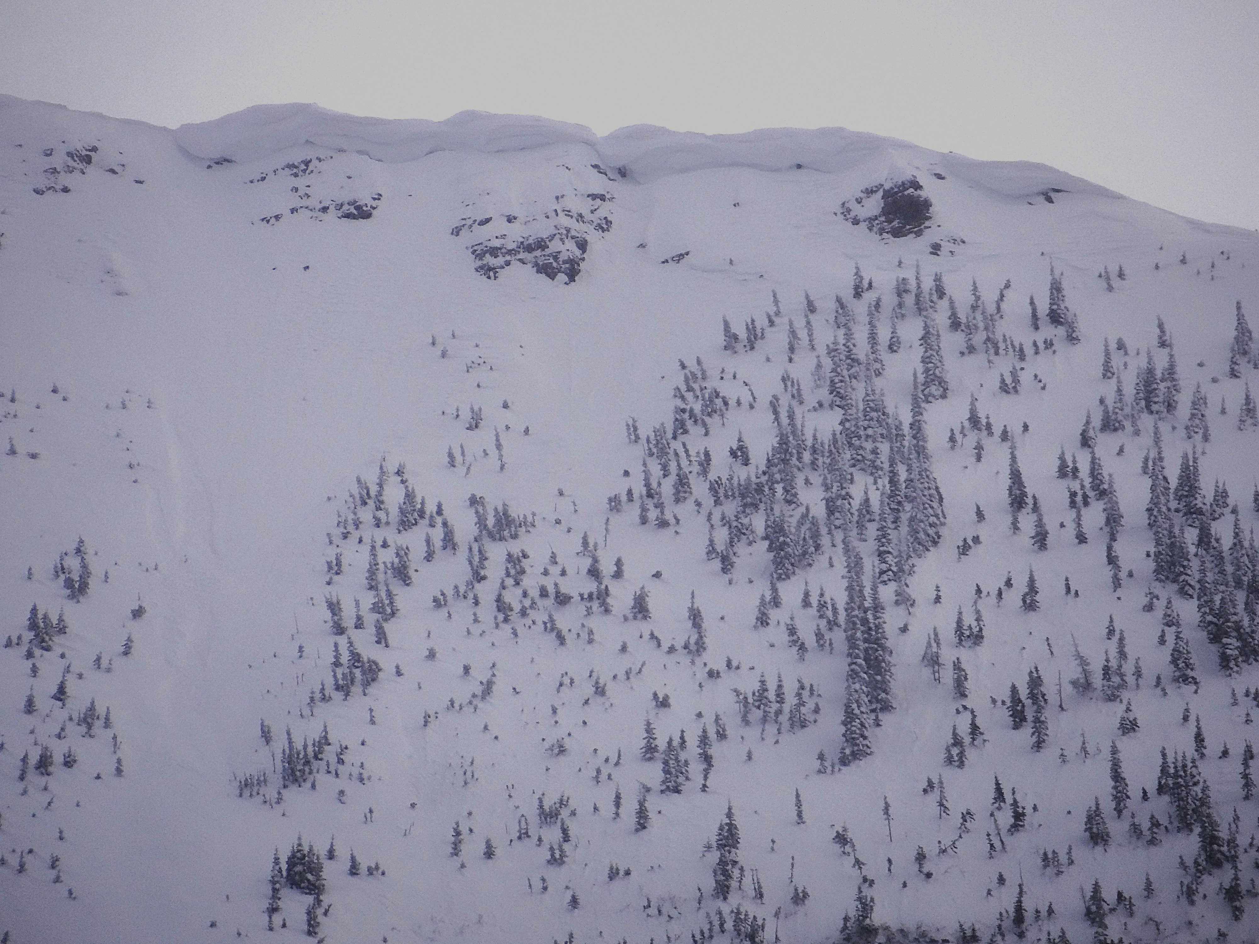
• Previous avalanche activity observed in Shed 7 West. In the uppermost starting zone elevations, very small soft slabs had released on easterly and northeasterly aspects at about 6700’. These slabs were approximately 6” in depth and approximately 70’ in width. Associated debris immediately fanned out and did not carry below starting zone elevations. • Also in Shed 7 West, previously deposited avalanche debris, destructive size 2 of 5 (D2) that terminated @ approximately 5800’ elevation. Any crown line associated with this debris was not visible had been previously filled in. Given the fresh snow on the debris, we estimate this ran on Thu, 3/12. • Good visibility today finally gave us views of distant terrain and we were able to confirm some avalanche activity initially observed on Thu, 3/12: o D2 soft slab in Path 1163 ran to 5000’ elevation terminating well above the grade. Remnants of crown were barely visible up at 7000’. o D2.5 hard slab on the north face of Mt. Furlong (Broken Bridge Path). Crown was barely visible today up at about 7200’, but it appeared to have failed on an older persistent weak layer. Could not view the runout but debris terminated well above the highway.