
Quick report
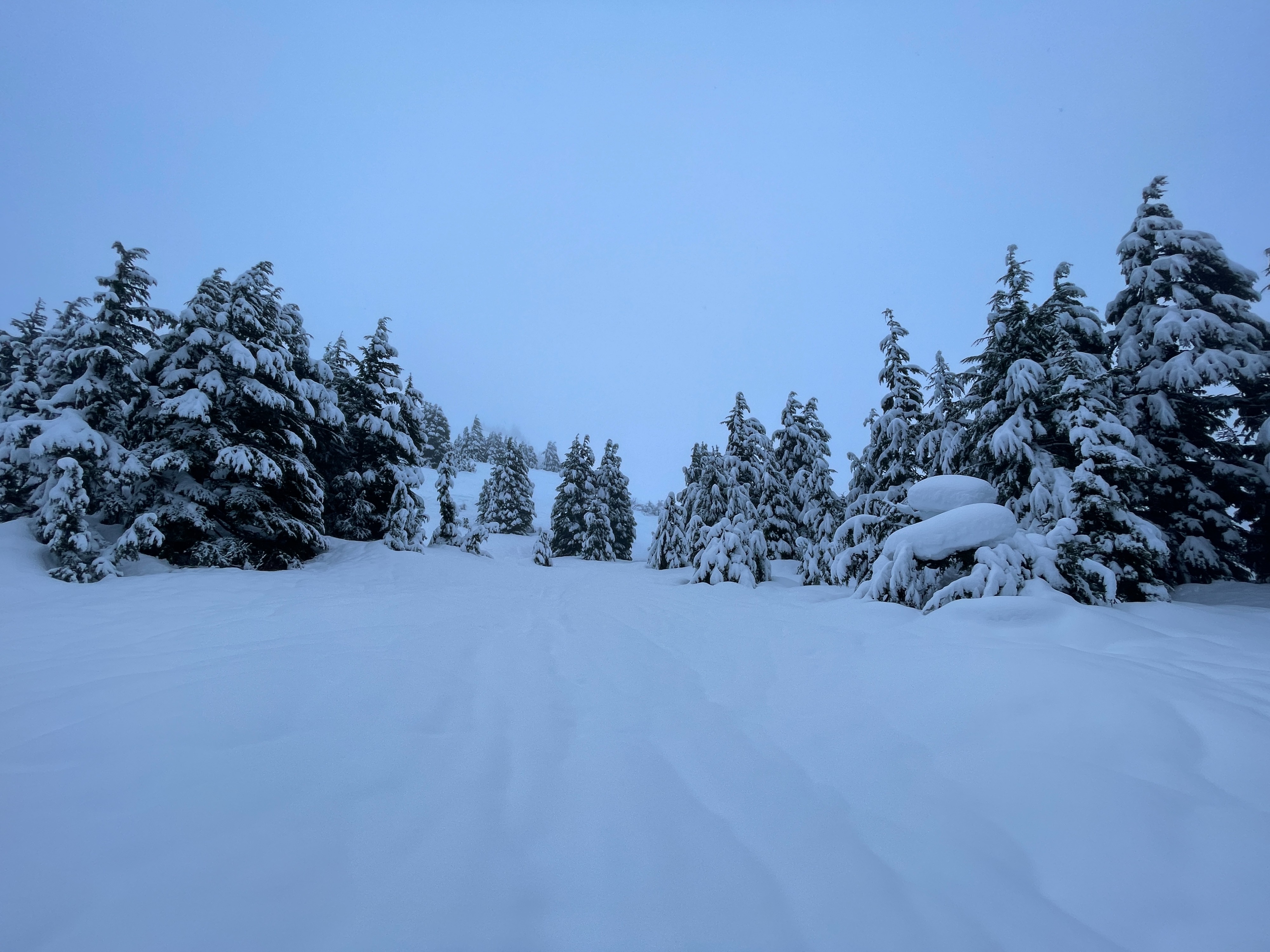
We got out to see how the snowpack was responding to another major loading event. There was another 10-12" of new snow on the ground at 2000' elevation, and the snow was much drier above 2300' or so. Last night's rain made it up to around 1500'.
We were really curious to see if the 1/5 interface was as reactive today as it was after the previous loading event (this Tuesday, 1/7). We dug a snowpit right next to the crown of an avalanche that occurred on Tuesday, and found the 1/5 facet layer to already have gained quite a bit of strength. That facet layer and all of the snow above it was moist up to around 2500', but it is likely a bigger concern at higher elevations.
It was encouraging to see how quickly that layer is healing in the mid elevations, but it is likely still a major concern in the alpine.
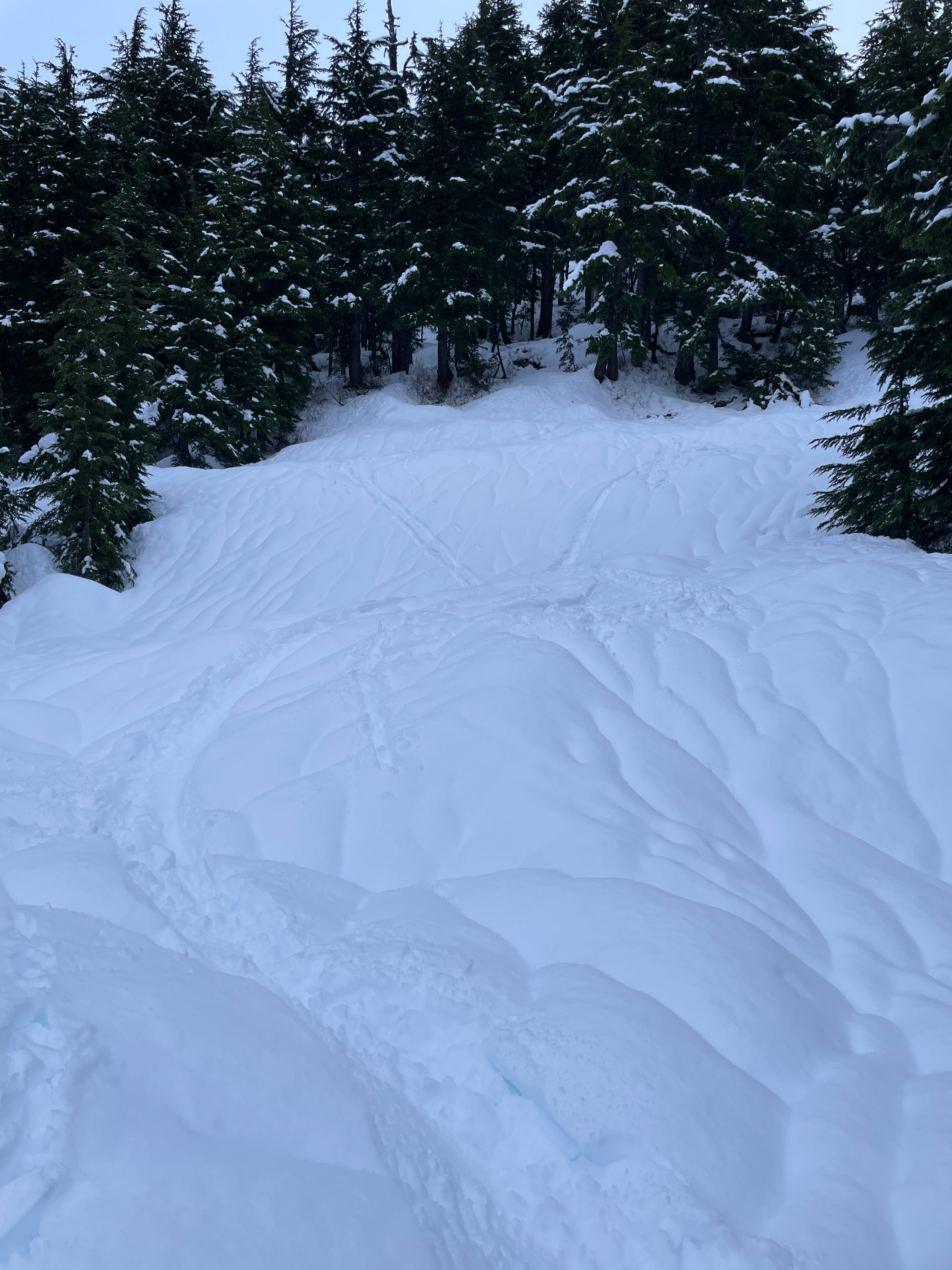
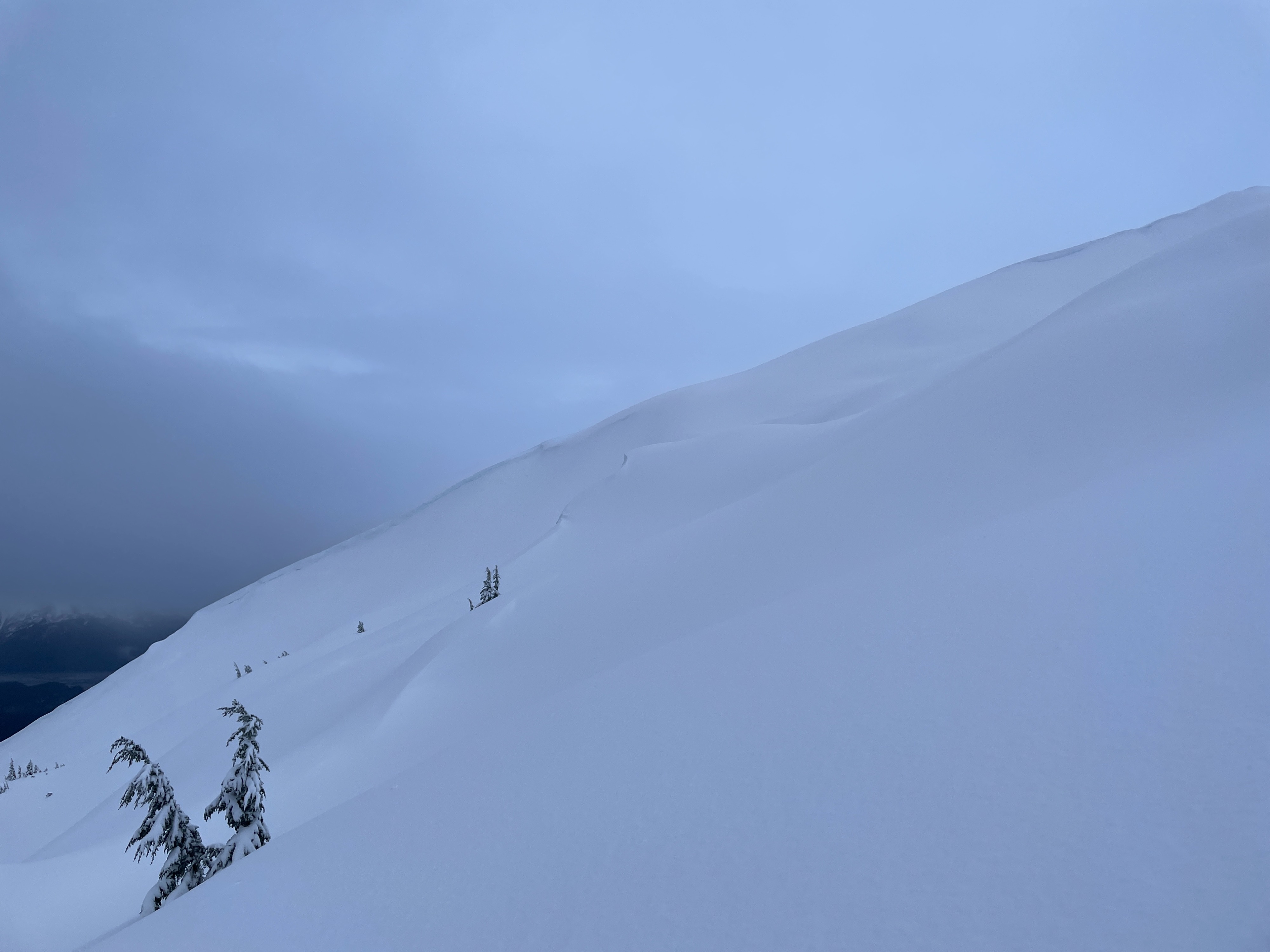
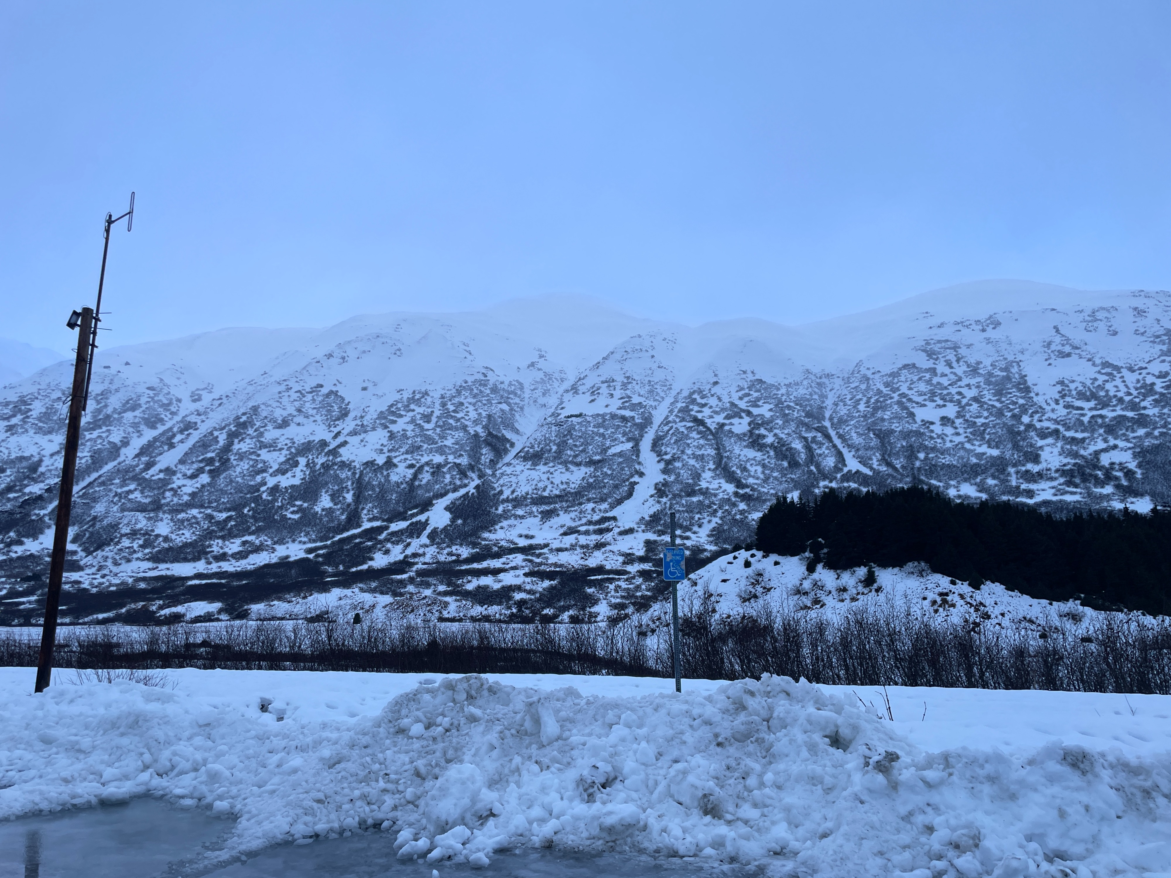
We saw fresh debris piles below several steep chutes on the north side of Sunburst.Weather
- Cloud Cover
- overcast
- Wind Loading
- previous
- Rain Elevation
- 1500
- Recent Snowfall
- 30
- Snow Avail For Transport
- large amounts
Warm, with clouds lifting through the day. Light precipitation at times and mostly calm winds where we traveled.
Snowpack
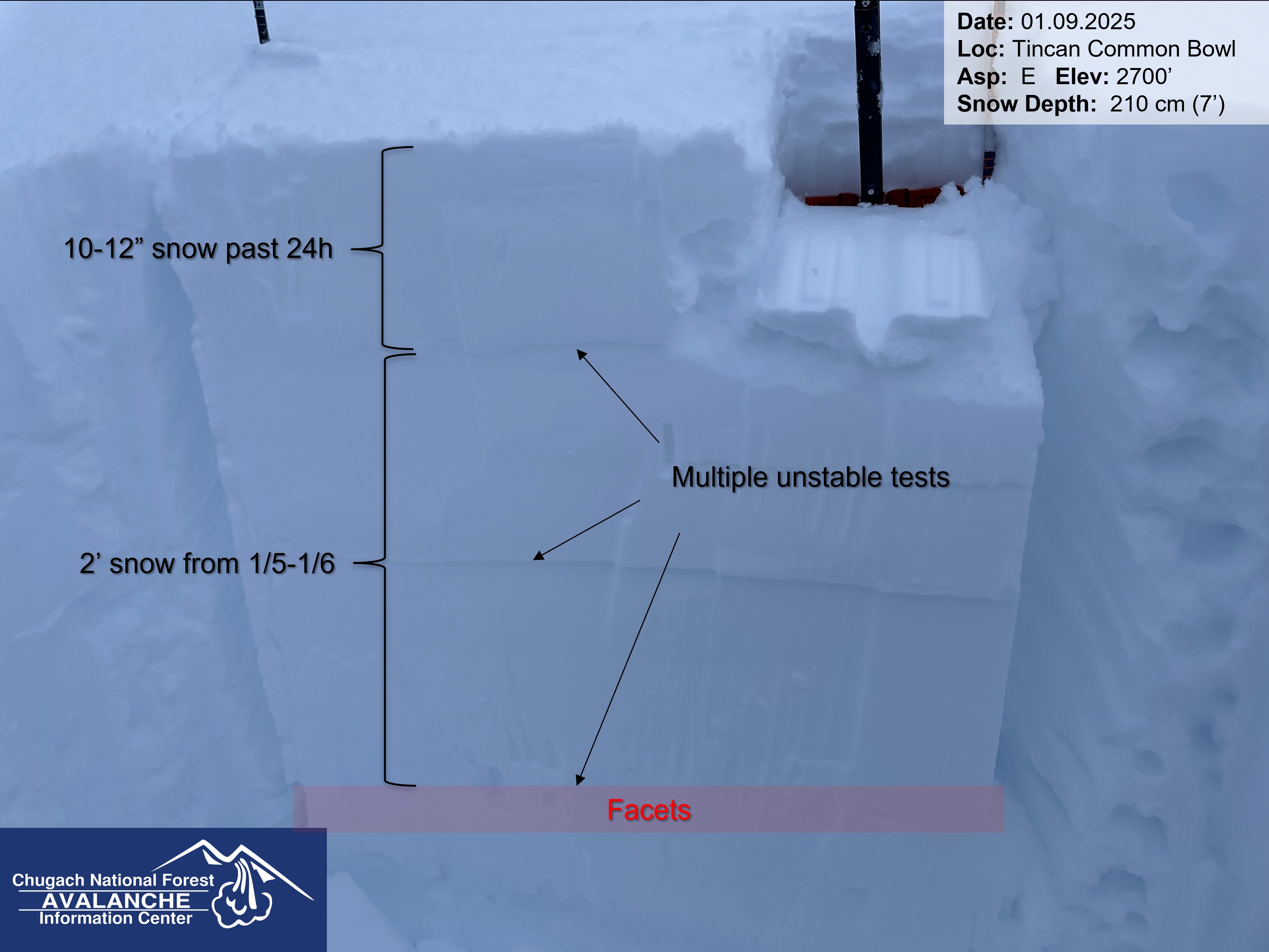
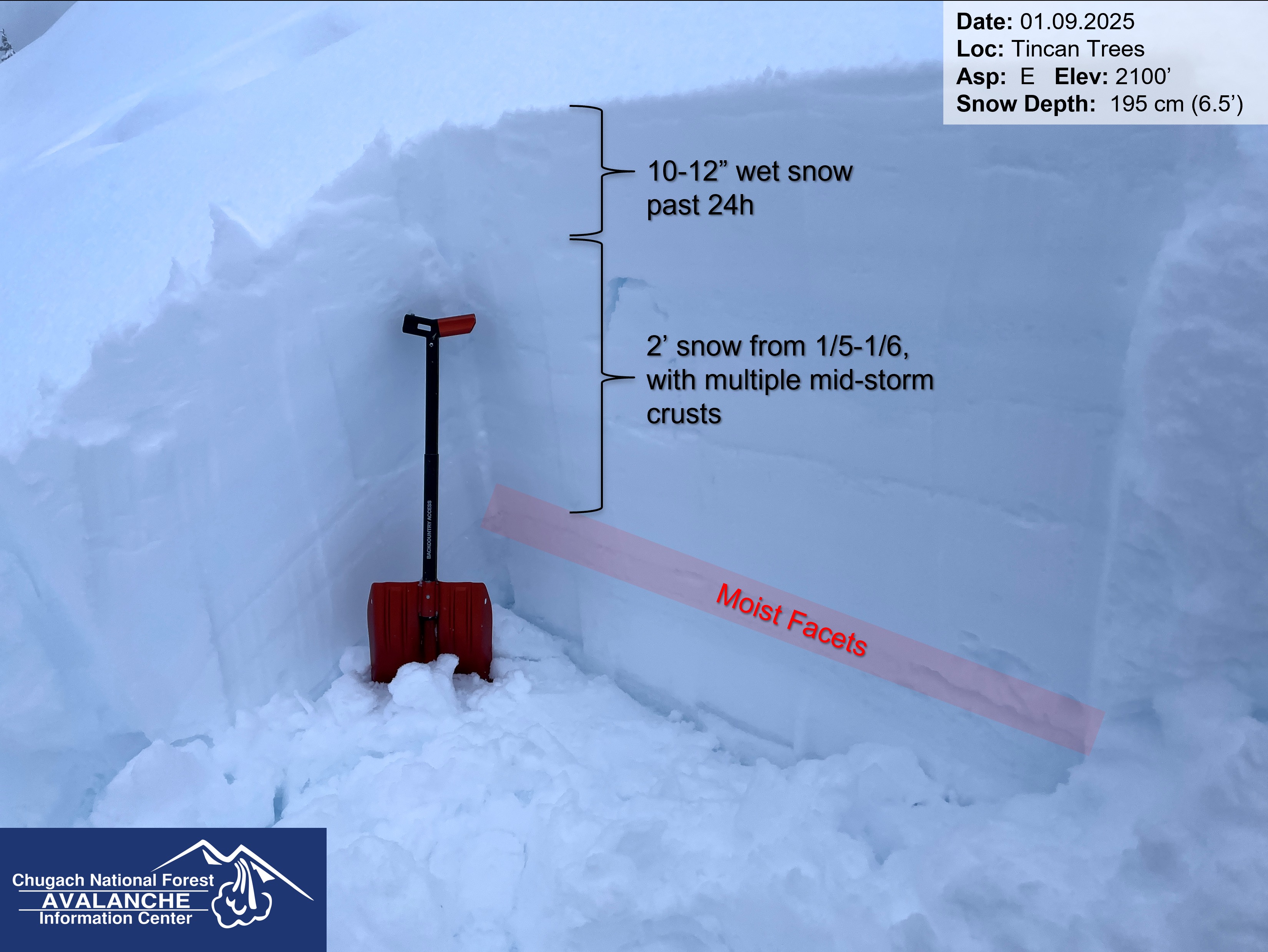
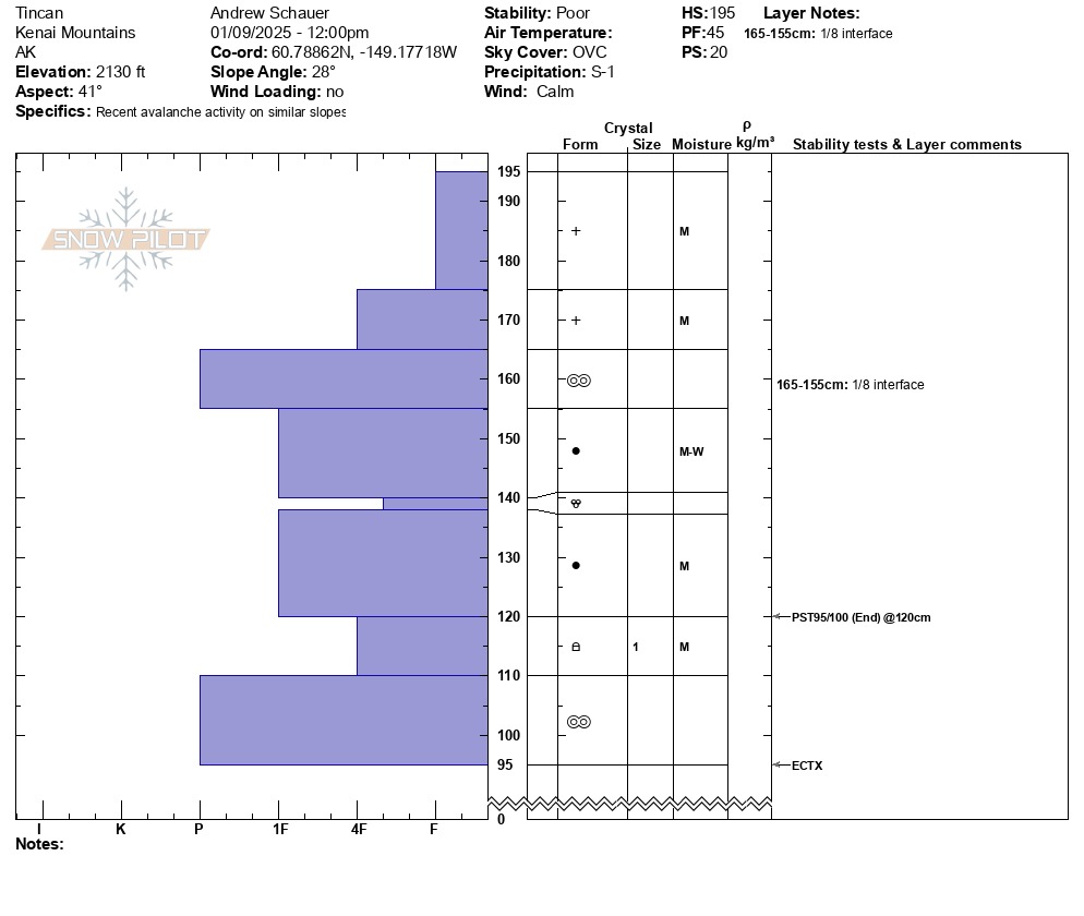
We dug pits at 2100' and 2700', and they looked quite different.
Below 2500', this week's snow is moist and there are several crusts in the upper 3' of the snowpack. One of these formed during the past two days as the previous storm's surface was able to refreeze. But there was also a thin crust that likely formed mid-storm on Monday as the rain line moved up and down. The Holiday crust is now about 3' deep on average. We did not get any unstable results in our lower pit, which we dug at the crown of an avalanche John triggered just two days ago when conditions were very touchy.
The snowpack at elevations above 2500' is still dry. We had several layers produce unstable results in our tests, including the interface from last night, which was about a foot deep (ECTP10), a mid-storm interface from earlier in the week, about 2' deep (ECTP21), and the 1/5 facet layer, which was 3' deep and had a few surface hoar grains mixed in (ECTP30).
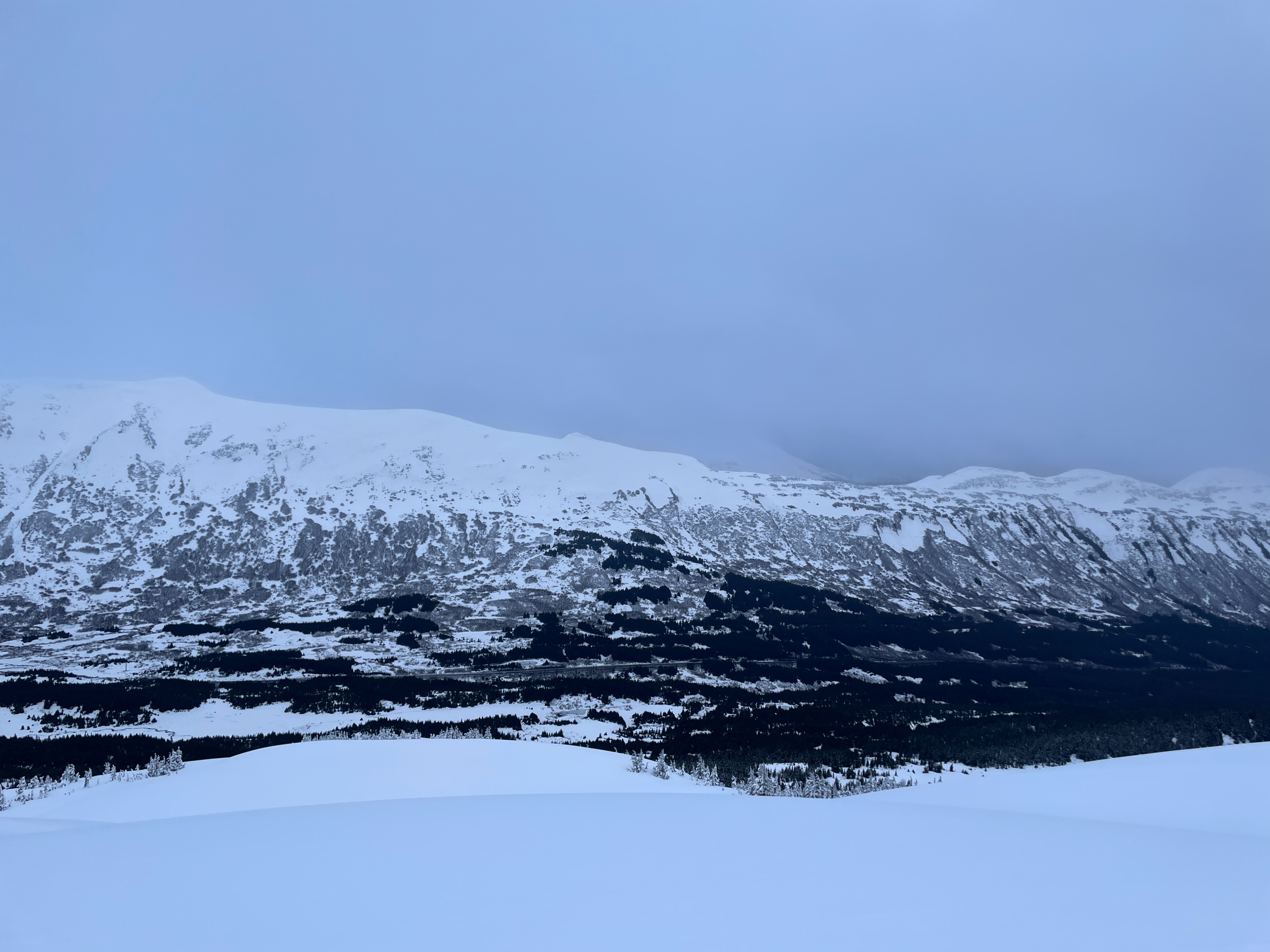
See attached photos for more snowpack details.