Homies on Hilda
Dec 31st, 2025 11:00 PM
thomasbiddlecombe
Icefields
Details
Type
quick
Coordinates
52.190013, -117.156134
Quick Observation
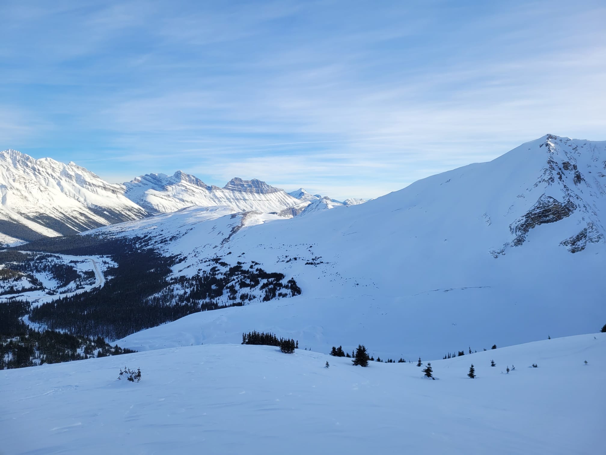
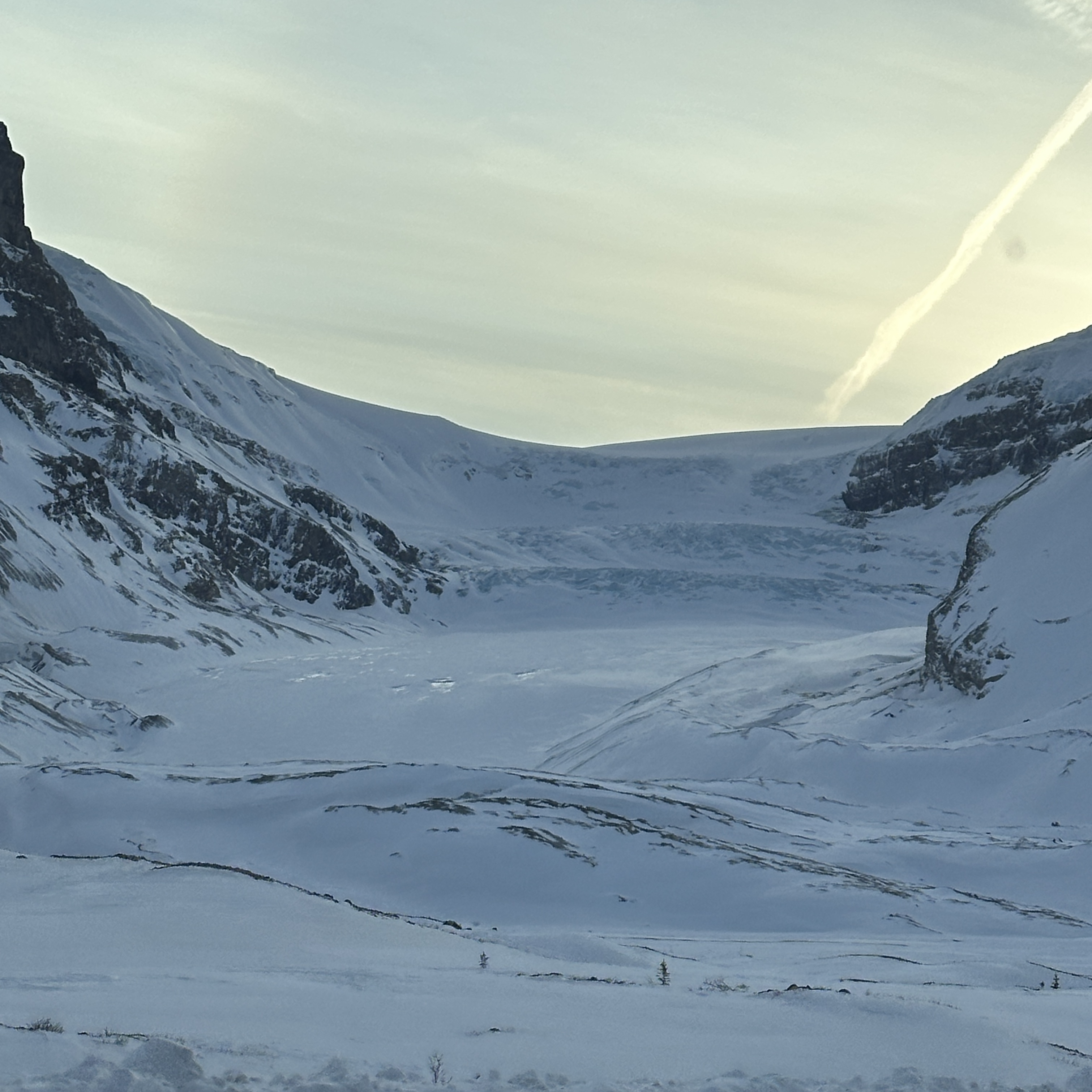
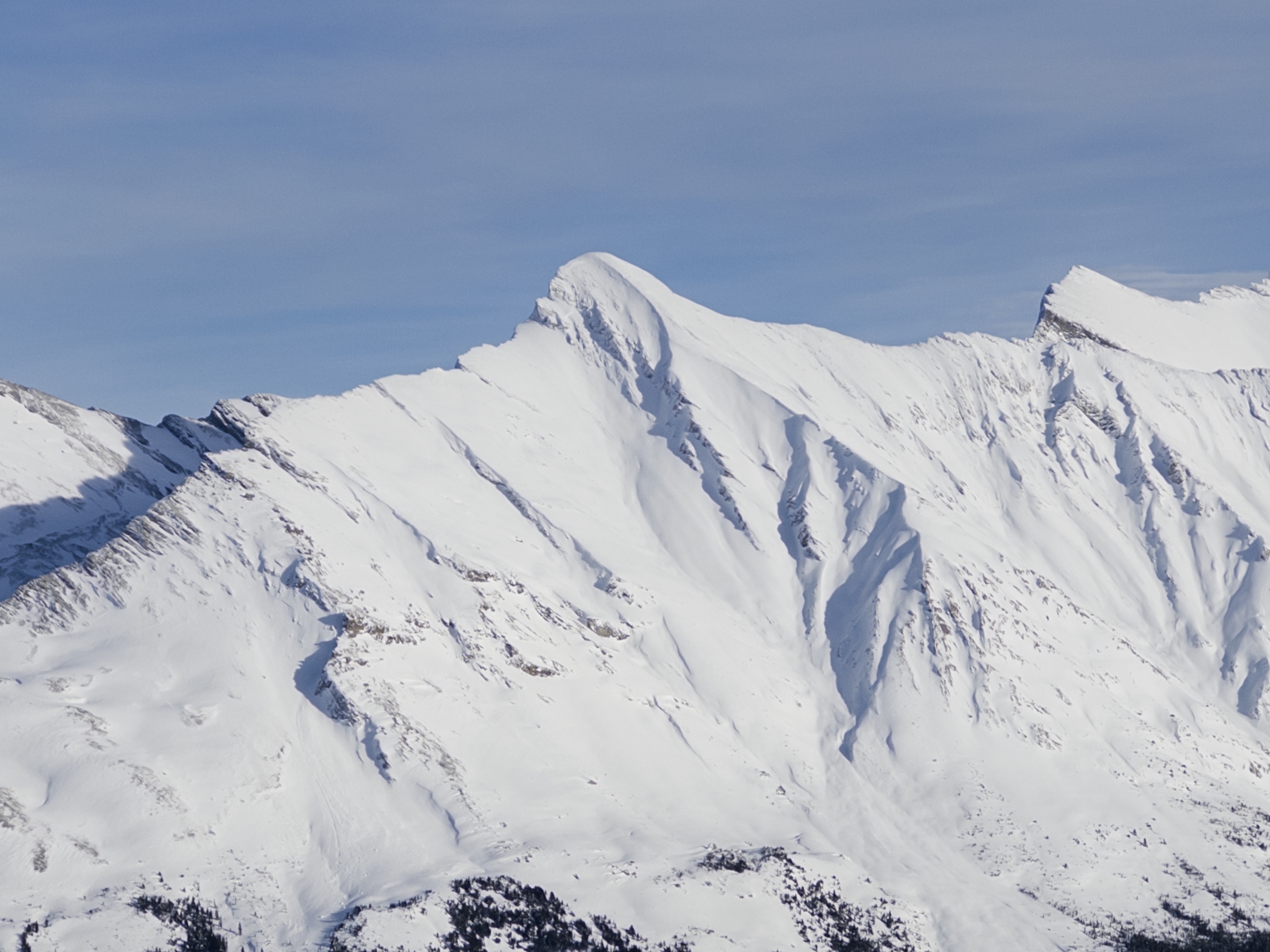
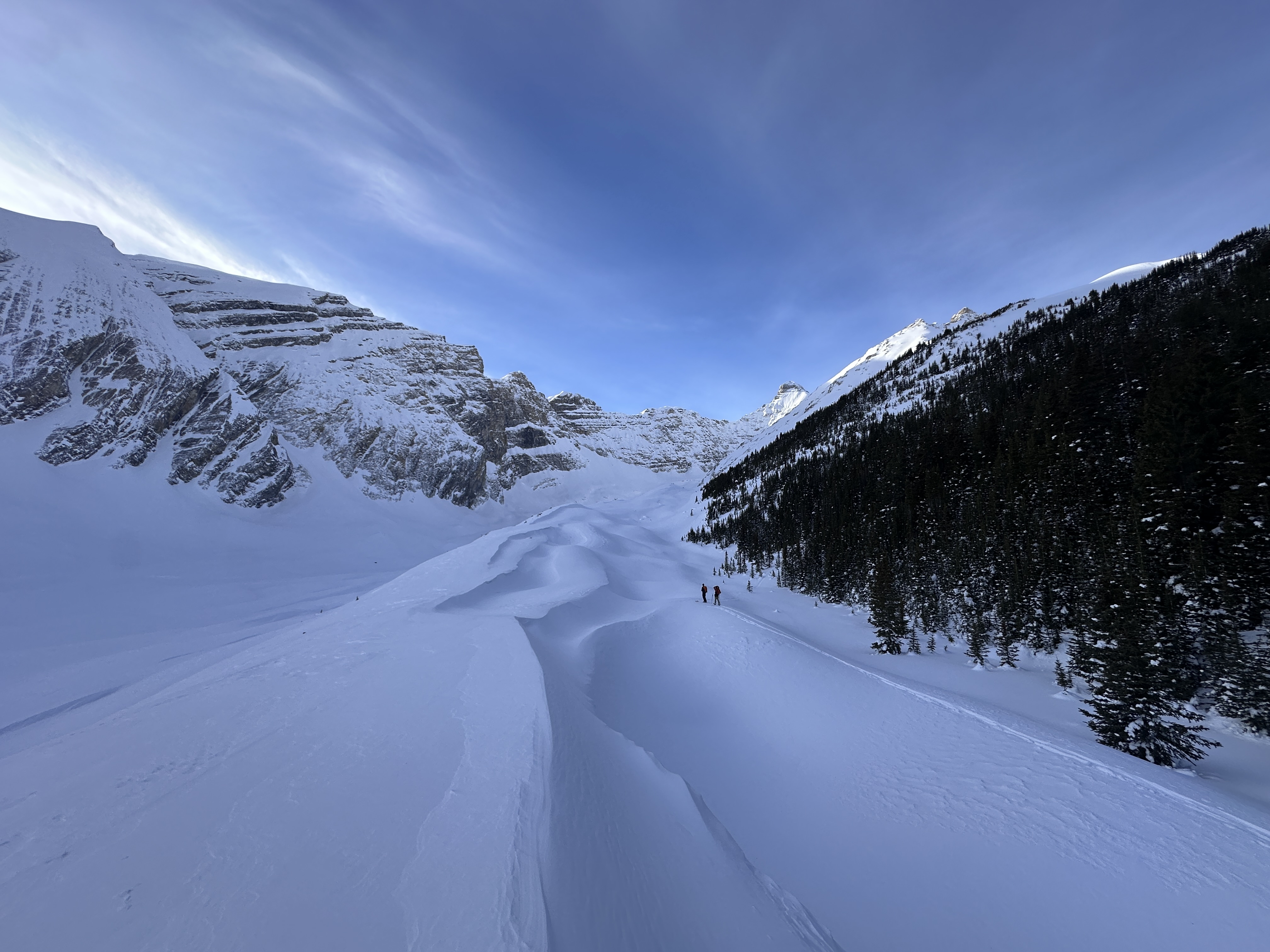
Hiked up to the right of the river (nice and packed track) and followed the ridge around to the end of the trees and up in the trees then should have cut along the tree-line to the ridge that we ended up ridding down. But someone wanted to go sit in the alpine 300m from the crown / flank of the big slide. Cough cough. And the other decided to hike off and hike under steep concave alpine terrain. Cough cough. Wow my cold is really bad this time of year.
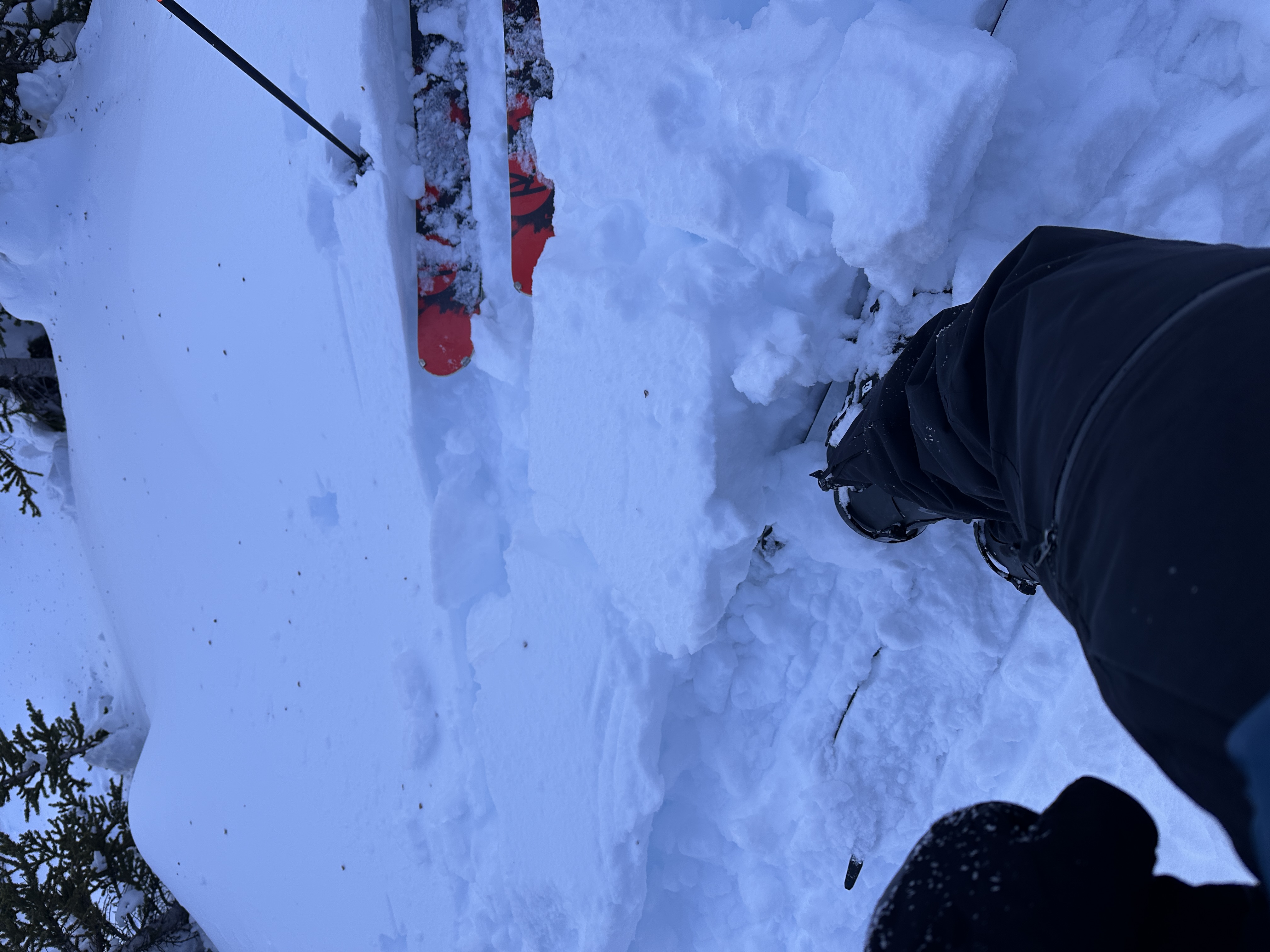
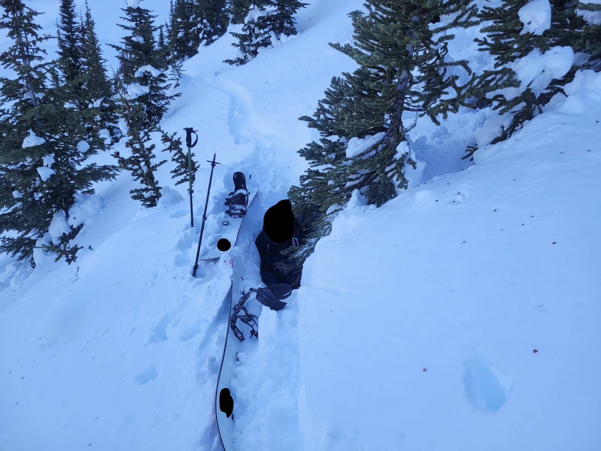
In terms of the snowpack there was this top layer that kept sliding and making kick turns a pain as the 2nd or 3rd person. It would only give out when there was nothing above or below it (imagine the arrow like path a kick turn leaves) and then stepped on. For the pic that shows it I had to jump a few times to get it to go.
When riding down there was very minor sluff, but while in the trees I wasn’t worried, it seemed bomber.
52.1893N, -117.15598E 2260m altitude @ 13:07:
220 cm snow depth, semi crusty top player
########
52.18968N, -117.15562E 2262m altitude @ 13:19:
Snowpack photo from when I jumped when I have to do a kick turn
Photos (6)