
Quick report
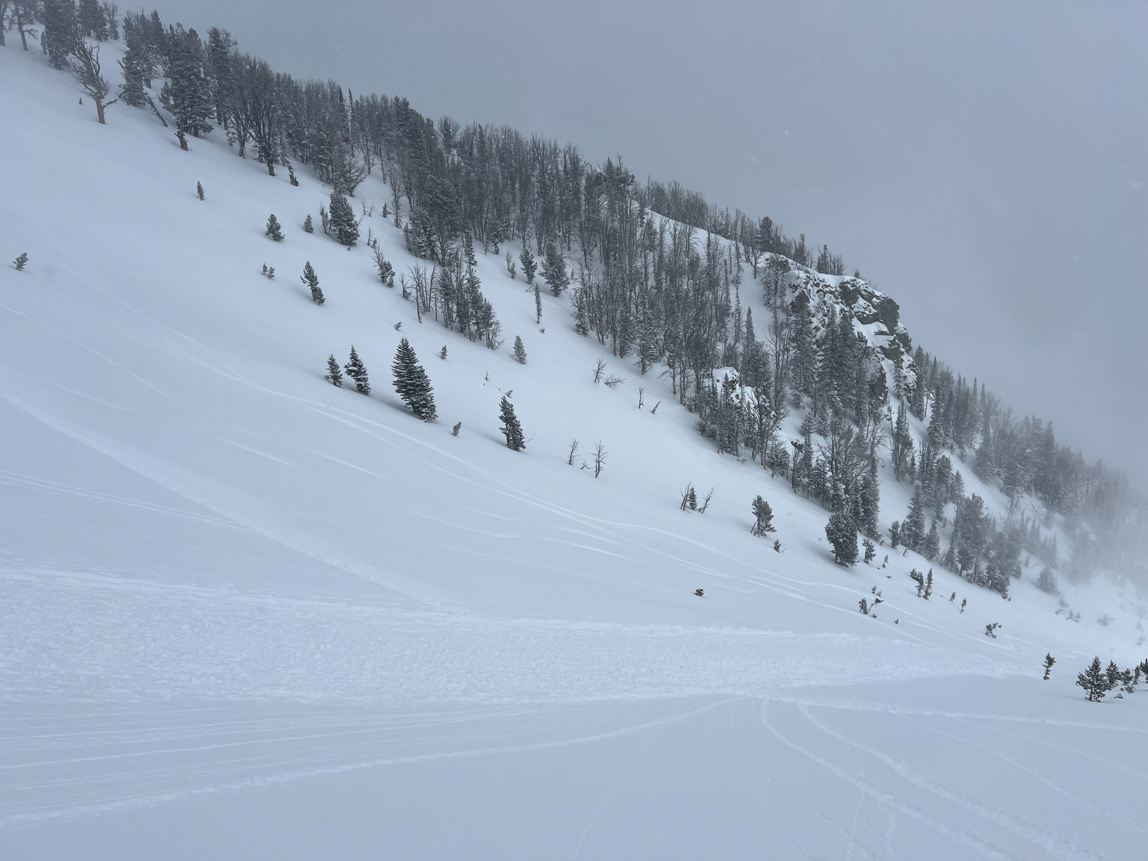
We found 5-8" of low density snow from the last 24 hours in the middle-upper elevations, 3" or less in lower elevations. New snow was unconsolidated and capable of loose sloughing in very steep terrain. Not much wind affect observed up to 10,000', but we did see one wind slab avalanche off Albright peak that was triggered by an adjacent party. Crown depth of 30-40cm that broke within new wind loaded snow in open/exposed upper elevation terrain (10,400'). New snow lies above a variety of surfaces. Warm temperatures, solar, and greenhousing created wet snow yesterday up to 8,000' that did not freeze overnight with insulation of new snow. Most new snow lies above wind-packed surfaces from the strong SW wind event on 3/16-17.
Overcast to broken cloud cover all day kept snow surface cool. Light NW wind all day.
Snowpack
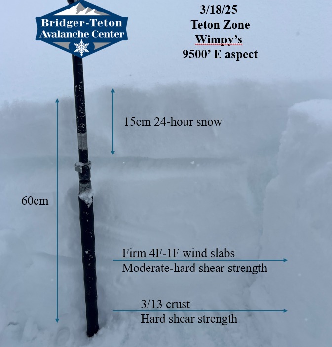
The snowpack above the 3/13 crust has changed in the last two days, showing signs of improved stability and less widespread distribution. The large wind event on 3/17 combined with warm temperatures and continued snowfall has helped break down facets formed around a breakable crust buried 3/14. Multiple quick pits showed far less continuity across terrain in this layer than two days ago on Shadow Peak. I found this layer only in isolated patches today. More snow will further bury the concern of this problem. This layer is worth tracking and keeping an eye on (see snow pit photos comparing two days apart).
Slab depth above the 3/13 varied from 40cm on SE previously wind scoured aspects to over 100cm on NE wind loaded aspects.
Avalanche
- Size
- D1.5 R1
- Type
- SS
- Aspect
- E
- Trigger
- AS
- Elevation
- 10400 ft
Wind slab avalanche that failed on new snow. D1.5-R1. Confirmed skier triggered.